


Lang Suan, Thailand
เทศบาลเมืองหลังสวน
Lang Suan is a town of 16,142 people in Chumphon, Thailand, founded in June 24, 1940.
Why visit Lang Suan
Townapedia lists 1 museum or landmark, 1 park or trail, 2 places to eat and 2 places to stay in and around town.
Weather in Lang Suan
Forecast from MET Norway (CC BY 4.0). Full forecast
About Lang Suan
Lang Suan (Thai: หลังสวน) is a town (thesaban mueang) in southern Thailand. As of 2006 it had a population of 11,822 and includes the entire sub-district (tambon) Lang Suan and parts of Khan Ngoen, Pho Daeng, Laem Sai, and Wang Tako, all within Lang Suan District.
From the Wikipedia article Lang Suan (town) (this version), under CC BY-SA 4.0.
Travel tips from other travellers: Lang Suan on Wikivoyage (CC BY-SA 4.0).
Museums and landmarks1

Parks, trails and playgrounds1
Restaurants and cafes2
ตี๋ติ่มซำสี่แยกคอกเป็ด
Restaurant · ติ่มซำ
65/4 ประชาราษฎร์, ตำบลขันเงิน
Mo-Su 07:00-21:00


Where to stay2

Auychai Grand Hotel
Motel and hotel · 2.4 km
366 Moo 4
24/7
Open in Google Maps · +66 81 2707795;+66 91 7066606;+66 77 545196
History
The township (thesaban tambon) Lang Suan was upgraded to town status on 20 February 2004.
From the History section of Lang Suan (town) on Wikipedia, under CC BY-SA 4.0.
Shopping1
Map of Lang Suan
7 places. The map loads OpenStreetMap tiles when you open it.
Getting there and nearby towns
Ranong Airport (UNN) is the nearest airport with scheduled flights listed in OpenStreetMap, 57 km away.
- Ban Nam Yuen 25 km west, about 25 min by car
- Ranong 49 km west, about 49 min by car
- Ban I Let 52 km north, about 52 min by car
- Chumphon 62 km north, about 1 h by car
- Chaiya 64 km south, about 1 h by car
- Koh Tao 85 km east, about 1 h 30 min by car
Drive times are estimates from straight-line distance, not routes.
Keep exploring
Local news
Headlines from INDB.
Reviews, tips and questions
Loading what members have shared...
Sources and licences
- GeoNames (CC BY 4.0): population, coordinates, regions and time zone
- Mapillary (see each image): photos
- OpenStreetMap contributors (ODbL 1.0): places, airports, map data
- Wikidata (CC0 1.0): elevation, founding date, time zone, website
- Wikimedia Commons (see each image): photos
- Wikipedia (CC BY-SA 4.0): overview and history text
Photo credits
- Lang Suan, Lang Suan District, Chumphon 86110, Thailand - panoramio, กิตติ เลขะกุล, CC BY 3.0
- Lang Suan Station Signalbox, Tealsp, CC0
- Wang Tako, Lang Suan District, Chumphon 86110, Thailand - panoramio, Mozhar, CC BY-SA 3.0
- Wang Tako, Lang Suan District, Chumphon 86110, Thailand - panoramio (3), กิตติ เลขะกุล, CC BY 3.0
- วัดขันเงิน อ.หลังสวน, Apatsara Pootamma, CC BY-SA 4.0
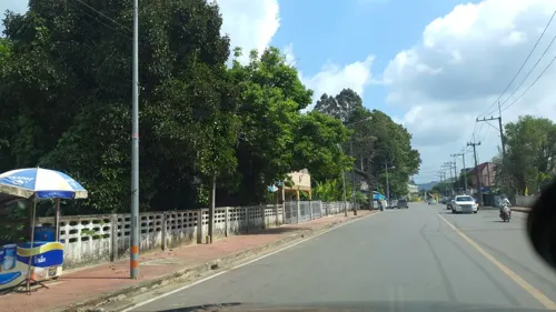
- Street-level photo, jrcarlsen, CC BY-SA 4.0
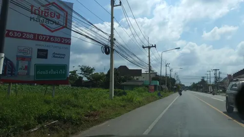
- Street-level photo, jrcarlsen, CC BY-SA 4.0
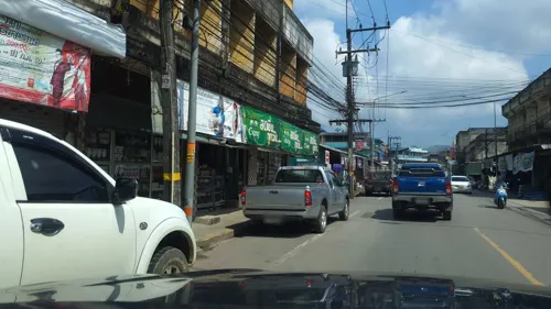
- Street-level photo, jrcarlsen, CC BY-SA 4.0
Page built November 10, 2026. Spotted a mistake? Tell us or suggest a place.