


Nan, Thailand
เทศบาลเมืองน่าน
Nan is a regional capital of 24,670 people in Nan, Thailand.
Why visit Nan
Townapedia lists 8 museums and landmarks, 3 parks and trails, 112 places to eat, 68 places to stay and 1 attraction in and around town.
Highlights include Nan National Museum and Khum Chao Ratchabut.
Weather in Nan
Forecast from MET Norway (CC BY 4.0). Full forecast
About Nan
Nan (Northern Thai: ᨶᩣ᩠᩵ᨶ; Thai: น่าน, pronounced [nâːn]) is a town in northern Thailand. It is 688 km (428 mi) north of Bangkok. It is in the centre of Nan province which bears its name, and of which it is the former administrative capital. It covers tambon Nai Wiang and parts of tambon Pha Sing of Mueang Nan district, an area of 7.60 km2 (2.93 sq mi) divided into 30 chumchon.
From the Wikipedia article Nan, Thailand (this version), under CC BY-SA 4.0.
Travel tips from other travellers: Nan on Wikivoyage (CC BY-SA 4.0).
Photos of Nan


Things to do1

Museums and landmarks8

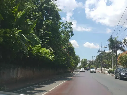
Khum Chao Ratchabut
Monument and historic site · 1.0 km
89 ถนนมหาพรหม, น่าน
Mo-Su 08:00-16:00


Parks, trails and playgrounds3

Restaurants and cafes112
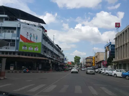
Auntie Nim's Dessert Shop II
Ice cream · 0.7 km
430/1 ถนนสุมนเทวราช
Mo,We-Sa 10:30-20:30; Su 10:00-20:30
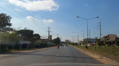



Lykke Brunch & Wine bar
Restaurant · Burger, Coffee Shop, Breakfast, Pasta, American, Cake, Pastry, Salad, Thai · 2.3 km
975 moo 4
Mo-Su 08:00-22:00


Horizon Harvest Roasters
Cafe · Cake, Coffee Shop, Tea · 1.2 km
Mo-Su 08:00-16:30
100 more on the map.
History
Nan, for centuries, was separate as the Nan Kingdom, with few relationships with the outside world. There is evidence of prehistoric habitation, but it wasn't until several small mueang united to form Nanthaburi on the Nan River in the mid-14th century, contemporaneously with the creation of Luang Prabang and the Lan Xang (Million Elephants) kingdom in Laos, that the city became notable. Associated with the Sukhothai Kingdom, the mueang took the title Wara Nakhon and played a significant part in the development of early Thai nationalism.
By the end of the 14th century Nan was one of the nine northern Thai-Lao principalities that formed Lanna. The city-state flourished throughout the 15th century under the name Chiang Klang ('middle city'), a reference to its position roughly midway between Chiang Mai ('new city') and Chiang Thong ('golden city'), today's Luang Prabang).
The Burmese took control of the kingdom in 1558 and deported many of the inhabitants to Burma as slaves; the city was deserted until northern Thailand was retaken from the Burmese in 1786. The local dynasty then regained local sovereignty and it remained semi-autonomous until 1931 when Nan finally accepted full Bangkok dominion. Part of its territory had been annexed to Laos by the French in the late-19th century.
Read more of the history
Parts of the old city wall and several early wats dating from the Lanna period can be seen in contemporary Nan. The city's wats are distinctive; some temple structures show Lanna influence, while others belong to the Thai Lue legacy brought from Xishuangbanna in China, where the Thai Lue people originated.
From the History section of Nan, Thailand on Wikipedia, under CC BY-SA 4.0.
More about Nan
Geography
Nan City is situated in the Nan River basin at an elevation of 204 meters (699 feet). The city is located on the right (west) bank of the Nan River and consists largely of river plains surrounded by mountains.
Arts and culture
Wat Phumin is the city's most well-known wat. It is located near the Nan National Museum. The fifteenth century Wat Phra That Khao Noi overlooks the city and the golden Phra Buddha Maha Udom Mongkhon Nanthaburi, Sri Nan is enshrined there. The city has a lak muang (city pillar), Wat Ming Mueang, at the center of the city.
From the Wikipedia article Nan, Thailand, under CC BY-SA 4.0.
Notable people from Nan
 Yuttajak KornchanThai footballerPhoto: Lady.Melon, CC0
 Ekkaluck Thonghkitassociation football playerPhoto: EL Loko Foto, CC BY 4.0
- Yollada SuanyotThai politician
- Kirati KeawsombatThai footballer
- Witthaya MoonwongThai footballer
- Suksayam ChanmaneewechThai footballer
- Supanich PoolkerdThai sprinter
- Chanatphol SikkamontholThai association football player


Born in Nan, according to Wikidata (CC0). Each name links to its Wikipedia article.
Where to stay68
Churches and places of worship31
Shopping11
Gas and EV charging6
Schools, colleges and libraries16
Healthcare7
Map of Nan
250 places. The map loads OpenStreetMap tiles when you open it.
Getting there and nearby towns
Nan Airport (NNT) is the nearest airport with scheduled flights listed in OpenStreetMap, 3 km away.
- Ban Thung Klang 31 km northeast, about 31 min by car
- Ban Phrao 35 km north, about 35 min by car
- Chiang Klang 57 km north, about 57 min by car
- Pong 67 km northwest, about 1 h by car
- Rong Kwang 69 km southwest, about 1 h 15 min by car
- Ban Don Kaeo 69 km northwest, about 1 h 15 min by car
Drive times are estimates from straight-line distance, not routes.
Keep exploring
Local news
Headlines from INDB.
Reviews, tips and questions
Loading what members have shared...
Sources and licences
- GeoNames (CC BY 4.0): population, coordinates, regions and time zone
- Mapillary (see each image): photos
- OpenStreetMap contributors (ODbL 1.0): places, airports, map data
- Wikidata (CC0 1.0): elevation, founding date, time zone, website
- Wikimedia Commons (see each image): photos
- Wikipedia (CC BY-SA 4.0): overview and history text
Photo credits
- Wat Phumin devant, Nan, (WT-fr) Ellnik at French Wikivoyage, CC BY-SA 1.0
- Musée National de Nan, Ellnik, CC BY-SA 3.0
- Wat Phra That Chang Kham, bôt, chedi et viharn, Nan, Ellnik, CC BY-SA 3.0
- Wat Suan Tan, Nan, Ellnik, CC BY-SA 3.0
- Wat Tha Lo 02, Takeaway, CC BY-SA 3.0
- Wat Ming Mueang Nan 01, Takeaway, CC BY-SA 3.0
- Wat Ming Mueang Nan 02, Takeaway, CC BY-SA 3.0
- 2013 Wat Phumin Nan, Takeaway, CC BY-SA 3.0
- Street-level photo, jrcarlsen, CC BY-SA 4.0
- Street-level photo, jrcarlsen, CC BY-SA 4.0
- Street-level photo, mishari, CC BY-SA 4.0
- Street-level photo, jrcarlsen, CC BY-SA 4.0
- Street-level photo, jrcarlsen, CC BY-SA 4.0
- Street-level photo, jrcarlsen, CC BY-SA 4.0
- Street-level photo, jrcarlsen, CC BY-SA 4.0
- Street-level photo, mishari, CC BY-SA 4.0
- Street-level photo, mishari, CC BY-SA 4.0
- Street-level photo, mishari, CC BY-SA 4.0
- Street-level photo, jrcarlsen, CC BY-SA 4.0
- Street-level photo, jrcarlsen, CC BY-SA 4.0
- Street-level photo, jrcarlsen, CC BY-SA 4.0
- Street-level photo, jrcarlsen, CC BY-SA 4.0
Page built November 10, 2026. Spotted a mistake? Tell us or suggest a place.