


Sattahip, Thailand
เทศบาลเมืองสัตหีบ
Sattahip is a town of 65,444 people in Chon Buri, Thailand.
Why visit Sattahip
Townapedia lists 1 museum or landmark, 3 parks and trails, 26 places to eat, 3 places to stay and 1 attraction in and around town.
Weather in Sattahip
Forecast from MET Norway (CC BY 4.0). Full forecast
Photos of Sattahip


Things to do1

Museums and landmarks1
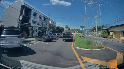
Sattahip Beach (Military Base - bring passport)
Monument and historic site · 0.6 km
Parks, trails and playgrounds3

Restaurants and cafes26
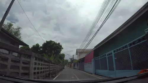
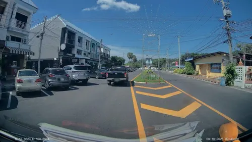
ลงเอย Food & Drink
Restaurant · Regional · 0.6 km
311/3 ชายทะเล 18
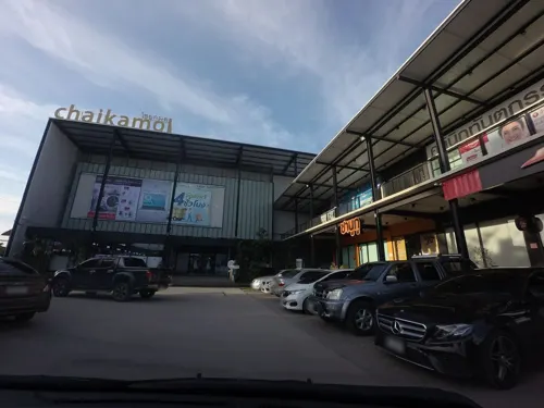

Meesuk Healty Drink
Cafe · Coffee Shop, Tea · 1.9 km
Mo-Su 08:00-17:00


14 more on the map.
Where to stay3
Churches and places of worship3
Shopping3
Gas and EV charging5
Schools, colleges and libraries4
Healthcare7
Map of Sattahip
56 places. The map loads OpenStreetMap tiles when you open it.
Getting there and nearby towns
U-Tapao - Pattaya International airport (UTP) is the nearest airport with scheduled flights listed in OpenStreetMap, 12 km away.
- Ban Chang 18 km east, about 18 min by car
- Pattaya 30 km north, about 30 min by car
- Ban Ko Lan 31 km northwest, about 31 min by car
- Rayong 39 km east, about 39 min by car
- Bang Lamung 42 km north, about 42 min by car
- Laem Chabang 47 km north, about 47 min by car
- Ban Talat Bueng 46 km north, about 46 min by car
- Si Racha 56 km north, about 56 min by car
- Ban Phe 58 km east, about 58 min by car
- Chon Buri 78 km north, about 1 h 15 min by car
Drive times are estimates from straight-line distance, not routes.
Towns near Sattahip


Keep exploring
Local news
Headlines from INDB.
Reviews, tips and questions
Loading what members have shared...
Sources and licences
- GeoNames (CC BY 4.0): population, coordinates, regions and time zone
- Mapillary (see each image): photos
- OpenStreetMap contributors (ODbL 1.0): places, airports, map data
- Wikidata (CC0 1.0): elevation, founding date, time zone, website
- Wikimedia Commons (see each image): photos
Photo credits
- DFC 5008 Chilled Singha beer on the bar lights twinkling in the background - a taste of Sattahip nights, PattayaPatrol, CC BY-SA 4.0
- DFC 5010 Grilled sesame pork slices with fresh garden salad and creamy dipping sauce - a flavorful Thai-style plate from Sattahip, PattayaPatrol, CC BY-SA 4.0
- DFC 5028 Two colorful mixed dessert cups - one green tea and one strawberry - ready to enjoy at a dessert counter in Sattahip Chon Buri, PattayaPatrol, CC BY-SA 4.0
- DZ6 1892 Seared steak medallions glazed with a tangy berry reduction served with roasted potato wedges a buttered bread triangle and a fresh side salad, PattayaPatrol, CC BY-SA 4.0
- DZ6 1891 Seared salmon in a rich brown sauce with grilled potatoes fresh greens and toasted bread garnished with dill, PattayaPatrol, CC BY-SA 4.0
- DFC 5014 Juicy bacon cheeseburger with lettuce tomato and onions served with golden fries - a classic comfort meal, PattayaPatrol, CC BY-SA 4.0
- DFC 5023 Stir-fried spaghetti with squid fresh basil and cherry tomatoes - a Thai-inspired seafood pasta served hot, PattayaPatrol, CC BY-SA 4.0
- DFC 5021 A savory plate of spaghetti topped with crispy bacon grated cheese and a sprig of fresh parsley, PattayaPatrol, CC BY-SA 4.0
- DFC 1772 Dimly lit row of closed storefronts and market stalls along a quiet empty street at night, PattayaPatrol, CC BY-SA 4.0
- DFC 1788 A quiet nighttime seafood market with rows of wet stalls and blue plastic containers lined along a narrow rain-darkened aisle, PattayaPatrol, CC BY-SA 4.0
- DFC 1789 Night market fish stalls lit under tarps as vendors arrange fresh seafood and chat with customers, PattayaPatrol, CC BY-SA 4.0
- DFC 1790 Two vendors prepare fresh produce at a busy night market stall lit by overhead lamps with scooters and market activity visible in the background, PattayaPatrol, CC BY-SA 4.0
- DFC 1771 A street vendor arranges fruit packed in plastic bags at the back of a pickup truck converted into a mobile market stall, PattayaPatrol, CC BY-SA 4.0
- DFC 1786 A market vendor in an orange shirt smiles as she arranges fresh produce under bright hanging lights at an evening market stall, PattayaPatrol, CC BY-SA 4.0
- DFC 1773 A bustling night market scene with vendors selling fresh produce and snacks under tarps while shoppers and a motorcyclist move through the narrow well-lit aisle, PattayaPatrol, CC BY-SA 4.0
- DFC 1779 A street vendor rinses out a large pan at a bustling night market stall while nearby vendors and food equipment stack up around him, PattayaPatrol, CC BY-SA 4.0
- DFC 1776 Busy indoor market scene with vendors and shoppers gathered around fresh meat stalls colorful decorations and a golden rooster statue on display, PattayaPatrol, CC BY-SA 4.0
- DFC 1787 A busy nighttime street scene with motorbikes parked trucks and people loading goods and working under bright lamps, PattayaPatrol, CC BY-SA 4.0
- DFC 1774 A small colorful street food stall lit up at night with skewers on display and a vendor busy behind the cart while a bustling market continues in the dimly lit background, PattayaPatrol, CC BY-SA 4.0
- DFC 1767 Night market stall glowing under colorful umbrellas as vendors prepare and sell local snacks - an inviting street-food scene, PattayaPatrol, CC BY-SA 4.0
- DFC 1745 A busy open-air market stall where vendors wearing gloves handle and package fresh raw chicken pieces for customers with other market shoppers and colorful produce stalls visible in the..., PattayaPatrol, CC BY-SA 4.0
- DFC 1741 A wet fish market at night stalls lit up with vendors arranging fresh catch in colorful plastic tubs, PattayaPatrol, CC BY-SA 4.0
- DFC 1742 Three vendors sort and bag fresh fish at a busy market stall surrounded by baskets and plastic tubs of seafood, PattayaPatrol, CC BY-SA 4.0
- DFC 1749 Night market scene a rider on a scooter passes stalls and shoppers under awnings as vendors pack up for the evening, PattayaPatrol, CC BY-SA 4.0
- DFC 1750 Busy indoor market scene with vendors and shoppers selecting fresh produce and packaged goods from tightly packed stalls, PattayaPatrol, CC BY-SA 4.0
- DFC 1756 A smiling vendor sits on a small stool at a busy market stall sorting fresh green chilies into a bowl surrounded by baskets and packed goods, PattayaPatrol, CC BY-SA 4.0
- DFC 1757 Close-up of freshly sliced raw beef kidneys piled together showing the deep red flesh and glossy surfaces, PattayaPatrol, CC BY-SA 4.0
- DFC 1762 A vendor carefully strings fresh flower garlands at her colorful market stall surrounded by piles of jasmine and marigold blossoms, PattayaPatrol, CC BY-SA 4.0
- DFC 1758 Vendors busy arranging fresh vegetables at a lively outdoor market stall preparing produce for customers, PattayaPatrol, CC BY-SA 4.0
- ป้ายคิวรถสองแถวสัตหีบ-บ้านฉาง (สีส้ม) ตลาดสัตหีบ, SPIYE, CC0
- รถสองแถวสัตหีบ-นาเกลือ, Nitiphat Neampirom, CC BY-SA 4.0
- ป้ายคิวรถสองแถวสัตหีบ-นาเกลือ (สีขาว) ตลาดสัตหีบ, SPIYE, CC0
- DFC 1793 A vendor arranges fresh greens and cabbages at an open-air market stall while shoppers browse in the background, PattayaPatrol, CC BY-SA 4.0
- DFC 1791 A quiet street market at night with rows of parked motorbikes small shops lit up and a lone pedestrian in a red jacket walking past, PattayaPatrol, CC BY-SA 4.0
- DFC 1746 A vendor arranges fresh produce and packaged goods at a busy outdoor market stall, PattayaPatrol, CC BY-SA 4.0
- DFC 1748 An older woman arranges an assortment of fried and grilled foods on a market stall counter, PattayaPatrol, CC BY-SA 4.0
- DFC 1747 A masked vendor arranges baskets of garlic shallots and chilies at a busy outdoor market stall, PattayaPatrol, CC BY-SA 4.0
- DFC 1752 A vendor wearing a face mask hands a bag of fresh fruit to a customer at a bustling outdoor market stall filled with bananas grapes and other produce, PattayaPatrol, CC BY-SA 4.0
- DFC 1755 A street vendor unloading fresh produce from a small green cart beside a pickup truck at night, PattayaPatrol, CC BY-SA 4.0
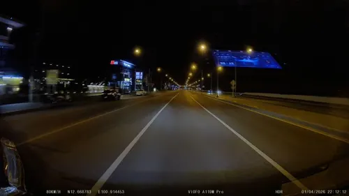
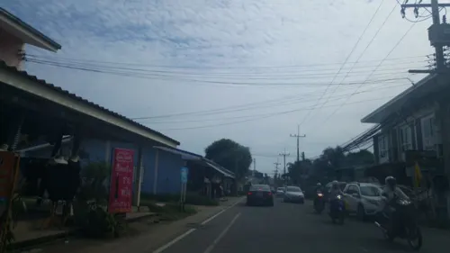
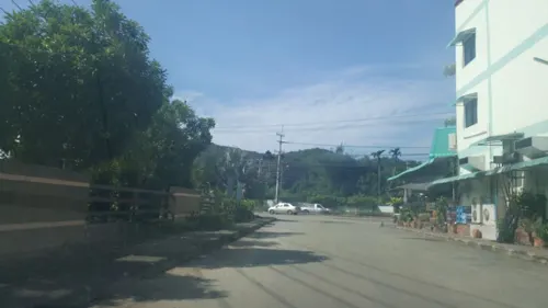
- Street-level photo, ThailandCambodia, CC BY-SA 4.0
- Street-level photo, kaart_3, CC BY-SA 4.0
- Street-level photo, mishari, CC BY-SA 4.0
- Street-level photo, ThailandCambodia, CC BY-SA 4.0
- Street-level photo, kaart_3, CC BY-SA 4.0
- Street-level photo, poramet, CC BY-SA 4.0
- Street-level photo, poramet, CC BY-SA 4.0
- Street-level photo, kaart_3, CC BY-SA 4.0
- Street-level photo, ThailandCambodia, CC BY-SA 4.0
- Street-level photo, ThailandCambodia, CC BY-SA 4.0
- Street-level photo, kaart_3, CC BY-SA 4.0
- Street-level photo, kaart_3, CC BY-SA 4.0
- Street-level photo, ThailandCambodia, CC BY-SA 4.0
- Street-level photo, kaart_3, CC BY-SA 4.0
- Street-level photo, poramet, CC BY-SA 4.0
- Street-level photo, kaart_3, CC BY-SA 4.0
- Street-level photo, kaart_3, CC BY-SA 4.0
- Street-level photo, kaart_3, CC BY-SA 4.0


Page built November 10, 2026. Spotted a mistake? Tell us or suggest a place.