


Si Racha, Thailand
เทศบาลเมืองศรีราชา
Si Racha is a city of 178,916 people in Chon Buri, Thailand.
Why visit Si Racha
Townapedia lists 1 museum or landmark, 6 parks and trails, 39 places to eat, 28 places to stay and 1 attraction in and around town.
Highlights include Princess Sirindhorn Stadium.
Weather in Si Racha
Forecast from MET Norway (CC BY 4.0). Full forecast
About Si Racha
Si Racha (Thai: ศรีราชา, pronounced [sǐː rāːt͡ɕʰāː]) is a subdistrict and town in Thailand on the east coast of the Gulf of Thailand, about 120 km (75 mi) southeast of Bangkok in Si Racha district, Chonburi province.
From the Wikipedia article Si Racha (this version), under CC BY-SA 4.0.
Travel tips from other travellers: Si Racha on Wikivoyage (CC BY-SA 4.0).
Photos of Si Racha


Things to do1

Museums and landmarks1

Parks, trails and playgrounds6



พระราชานุสาวรีย์สมเด็จพระศรีสวรินทิราบรมราชเทวี พระพันวัสสาอัยยิกาเจ้า
Park · 1.9 km
Restaurants and cafes39
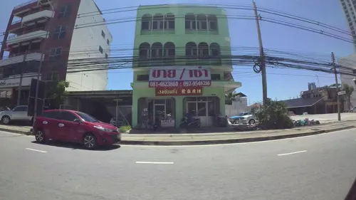
Toffee Cake Chonburi
Cafe · Coffee Shop, Cake, Bakery · 1.7 km
54/10-11 ถนนสุขุมวิท, Tambon Si Racha
Mo-Su 07:00-18:00
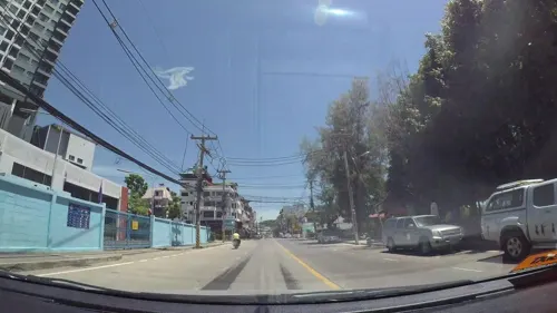
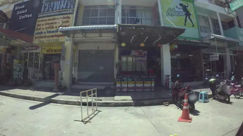
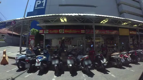

L' amu ลามู ラムゥ ศรีราชานคร
Restaurant · Japanese, Mediterranean · 0.7 km
Homemade japanese, mediterranean food, drink, dessert. Imported beer.
86 ศรีราชานคร 1 (ชิระชะนะคนอิจิโจเมะโดริ), ศรีราชา

27 more on the map.
History
Si Racha used to be part of Bang Lamung district which it borders today to its south. In 1900 (B.E 2443) Field Marshal Chao Phraya Surasak Montri came to the area of the modern town and built a sawmill under his company Sriracha Capital Company Limited. In 1903, Surasak Montri requested that the district capital of Bang Phra district be moved to Si Racha, which it did but retained its original name before becoming Si Racha district in 1917.
The municipality was created as a subdistrict municipality (thesaban tambon) in 1945. In 1995, the subdistrict municipality was upgraded to a town municipality (thesaban mueang).
On 3 September 2023, an oil pipeline being used to fill an oil tanker off a jetty owned by Thai Oil ruptured, causing an oil spill. The spill polluted the Gulf of Thailand with 50-70 m³, producing a 5 km slick. The spill is currently under the authority of the Pollution Control Department and the Marine Department. Thai Oil was later given permission to use 6,000 litres of dispersant on the slick. As of 7 September 2023, the coral off the coast of islands in the gulf have been unaffected by the spill.
Read more of the history
Unrelated to the oil spill, on 8 September the waters off Si Racha experienced a plankton bloom caused by recent monsoons that had occurred across the country, causing the beaches up to Bang Saen Beach to be covered by dead marine life, including ponyfishes, crabs, pufferfishes, and tilapias.
From the History section of Si Racha on Wikipedia, under CC BY-SA 4.0.
More about Si Racha
Education
The Thai-Japanese Association School Sriracha, a Japanese international school, is in Si Racha. It is an affiliate of the Thai-Japanese Association School in Bangkok. Si Racha formerly housed the Sriracha-Pattaya Japanese Supplement School, a Japanese weekend school.
From the Wikipedia article Si Racha, under CC BY-SA 4.0.
Notable people from Si Racha
- Amnat RuenroengOlympic boxer
- Pansak KetwatthaThai football manager
Born in Si Racha, according to Wikidata (CC0). Each name links to its Wikipedia article.
Where to stay28
Churches and places of worship14
Shopping11
Gas and EV charging5
Schools, colleges and libraries12
Healthcare7
Map of Si Racha
124 places. The map loads OpenStreetMap tiles when you open it.
Getting there and nearby towns
U-Tapao - Pattaya International airport (UTP) is the nearest airport with scheduled flights listed in OpenStreetMap, 55 km away.
- Laem Chabang 11 km southwest, about 11 min by car
- Ban Talat Bueng 14 km southeast, about 14 min by car
- Bang Lamung 14 km south, about 14 min by car
- Ban Ang Sila 19 km north, about 19 min by car
- Chon Buri 22 km north, about 22 min by car
- Samut Prakan 59 km northwest, about 59 min by car
- Rayong 65 km southeast, about 1 h by car
- Bangkok 80 km northwest, about 1 h 15 min by car
- Thon Buri 78 km northwest, about 1 h 15 min by car
- Taling Chan 85 km northwest, about 1 h 30 min by car
Drive times are estimates from straight-line distance, not routes.
Towns near Si Racha


Keep exploring
Local news
Headlines from INDB.
Reviews, tips and questions
Loading what members have shared...
Sources and licences
- GeoNames (CC BY 4.0): population, coordinates, regions and time zone
- Mapillary (see each image): photos
- OpenStreetMap contributors (ODbL 1.0): places, airports, map data
- Wikimedia Commons (see each image): photos
- Wikipedia (CC BY-SA 4.0): overview and history text
Photo credits
- Si Racha, Si Racha District, Chon Buri, Thailand - panoramio, disertod, CC BY 3.0
- Si Racha, Si Racha District, Chon Buri, Thailand - panoramio (1), numkham, CC BY 3.0
- Koh Loi, Si Racha - Waiting for the Ferry to Koh Si Chang - panoramio, ekeidar, CC BY-SA 3.0
- Si Racha Banner, ekeidar, CC BY-SA 3.0
- Si Racha Skyline, ArqueKappa, CC BY 4.0
- ASSR, Lokomotive74, CC BY 2.5
- จากตึก 4 - panoramio, disertod, CC BY 3.0
- サミティヴェート病院シラチャー前の通り - panoramio, KUNIO MIURA, CC BY 3.0
- สนามฟุตบอลโรงเรียน - panoramio, disertod, CC BY 3.0
- Shell - panoramio (8), numkham, CC BY 3.0
- โรงเรียนอัสสัมชัญศรีราชา - panoramio, PepPer, CC BY-SA 3.0
- Shrimp Farms - panoramio, ekeidar, CC BY-SA 3.0
- Dry Fountain - panoramio, ekeidar, CC BY-SA 3.0
- Koh Loi Chinese Temple - panoramio, ekeidar, CC BY-SA 3.0
- Koh Loi Chinese Temple - panoramio (1), ekeidar, CC BY-SA 3.0
- Tattoo colour, Skaterlight2013, CC0
- Koh Loi, Supanut Arunoprayote, CC BY 4.0
- Approaching Koh Loi - panoramio (1), ekeidar, CC BY-SA 3.0
- Approaching Koh Loi - panoramio, ekeidar, CC BY-SA 3.0
- โรงเรียนอัสสัมชัญศรีราชา - panoramio - PepPer, PepPer, CC BY-SA 3.0
- Koh Loi (II), This Photo was taken by Supanut Arunoprayote . Feel free to use any of my images, but please mention me as the author and may send me a message. (สามารถใช้ภาพได้อิสระ..., CC BY 4.0
- Sunrise over the Bay of Bangkok, Mustang Joe, CC0
- ถนนสุขุมวิท - panoramio, [email protected]…, CC BY-SA 3.0
- Street-level photo, kaart_3, CC BY-SA 4.0
- Street-level photo, kaart_3, CC BY-SA 4.0
- Street-level photo, kaart_3, CC BY-SA 4.0
- Street-level photo, kaart_3, CC BY-SA 4.0
- Street-level photo, taylorsmock, CC BY-SA 4.0
- Street-level photo, jrcarlsen, CC BY-SA 4.0
- Street-level photo, noonishere, CC BY-SA 4.0
- Street-level photo, noonishere, CC BY-SA 4.0
- Street-level photo, mishari, CC BY-SA 4.0
- Street-level photo, kaart_3, CC BY-SA 4.0
- Street-level photo, ThailandCambodia, CC BY-SA 4.0
- Street-level photo, ThailandCambodia, CC BY-SA 4.0
- Street-level photo, ThailandCambodia, CC BY-SA 4.0
- Street-level photo, kaart_3, CC BY-SA 4.0
- Street-level photo, kaart_3, CC BY-SA 4.0


Page built November 10, 2026. Spotted a mistake? Tell us or suggest a place.