


Sing Buri, Thailand
เทศบาลเมืองสิงห์บุรี
Sing Buri is a regional capital of 20,046 people in Sing Buri, Thailand.
Why visit Sing Buri
Townapedia lists 2 museums and landmarks, 9 places to eat and 9 places to stay in and around town.
Weather in Sing Buri
Forecast from MET Norway (CC BY 4.0). Full forecast
About Sing Buri
Sing Buri (Thai pronunciation: [sǐŋ būrīː]) is a town (thesaban mueang) in Thailand, capital of the Sing Buri Province. It lies 141 km north of Bangkok. The town covers the whole tambon Bang Phutsa and parts of Bang Man, Muang Mu, Ton Pho, and Bang Krabue, all within Mueang Sing Buri District. As of 2006, it had a population of 19,470.
From the Wikipedia article Sing Buri (this version), under CC BY-SA 4.0.
Travel tips from other travellers: Sing Buri on Wikivoyage (CC BY-SA 4.0).
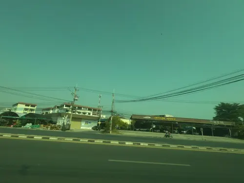
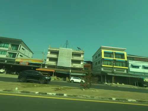
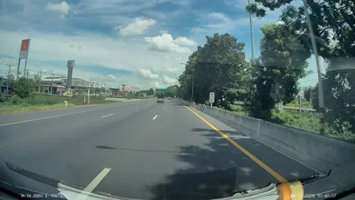
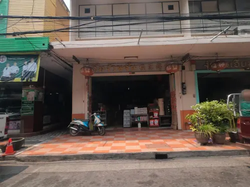
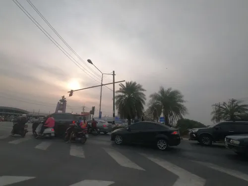
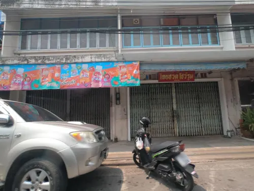
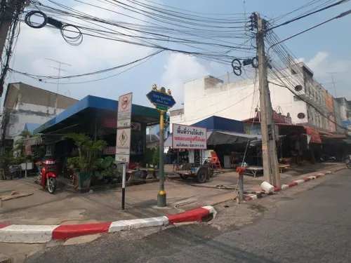
Photos of Sing Buri


Museums and landmarks2


Restaurants and cafes9
ข้าวต้มวินัย
Restaurant · Thai · 1.3 km
ทางเลี่ยงเมืองสิงห์บุรี
Mo-Su 15:00-23:00



Where to stay9

Churches and places of worship8
Wat Sawang Arom
Place of worship · 1.9 km
Noted for its collection of shadow puppets



Wat Sathian Wathanadit
Place of worship · 1.1 km
Noted for a gold Buddha image that was previously encased in concrete
Notable people from Sing Buri
 Mananchaya SawangkaewThai tennis playerPhoto: si.robi, CC BY-SA 4.0
 Chai MuengsinghThai musicianPhoto: Mr. Muangthai Pattarathawong, CC BY-SA 4.0
- Napat TapketkaewThai footballer


Born in Sing Buri, according to Wikidata (CC0). Each name links to its Wikipedia article.
Shopping5
Gas and EV charging6
Schools, colleges and libraries5
Healthcare1
Map of Sing Buri
45 places. The map loads OpenStreetMap tiles when you open it.
Getting there and nearby towns
Khok Kathiam Airforce Base (KKM) is the nearest airport with scheduled flights listed in OpenStreetMap, 28 km away.
- Bang Racham 9 km west, about 9 min by car
- In Buri 16 km northwest, about 16 min by car
- Chaiyo 24 km south, about 24 min by car
- Pho Thong 25 km south, about 25 min by car
- Lop Buri 29 km east, about 29 min by car
- Ban Thai Tan 31 km south, about 31 min by car
- Wiset Chaichan 33 km south, about 33 min by car
- Doembang Nangbuat 33 km west, about 33 min by car
- Ang Thong 34 km south, about 34 min by car
- Suphan Buri 55 km southwest, about 55 min by car
Drive times are estimates from straight-line distance, not routes.
Keep exploring
Local news
Headlines from INDB.
Reviews, tips and questions
Loading what members have shared...
Sources and licences
- GeoNames (CC BY 4.0): population, coordinates, regions and time zone
- Mapillary (see each image): photos
- OpenStreetMap contributors (ODbL 1.0): places, airports, map data
- Wikidata (CC0 1.0): elevation, founding date, time zone, website
- Wikimedia Commons (see each image): photos
- Wikipedia (CC BY-SA 4.0): overview and history text
Photo credits
- Woodcarving in Thai temple, Blue Plover, CC BY-SA 3.0
- Sing Buri market-ตลาดเมืองสิงห์บุรี - panoramio, ::::=UT=::::, CC BY-SA 3.0
- ศาลากลางและศาลจังหวัดสิงห์บุรี 06, Teerayut_Srisopa, CC BY-SA 3.0
- ศาลากลางและศาลจังหวัดสิงห์บุรี 05, Teerayut_Srisopa, CC BY-SA 3.0
- ศาลากลางและศาลจังหวัดสิงห์บุรี 03, Teerayut_Srisopa, CC BY-SA 3.0
- ศาลากลางและศาลจังหวัดสิงห์บุรี 01, Teerayut_Srisopa, CC BY-SA 3.0
- ศาลากลางและศาลจังหวัดสิงห์บุรี 02, Teerayut_Srisopa, CC BY-SA 3.0
- ศาลากลางและศาลจังหวัดสิงห์บุรี 04, Teerayut_Srisopa, CC BY-SA 3.0
- ศาลากลางและศาลจังหวัดสิงห์บุรี 07, Teerayut_Srisopa, CC BY-SA 3.0
- ศาลากลางและศาลจังหวัดสิงห์บุรี 08, Teerayut_Srisopa, CC BY-SA 3.0
- "รำพึง" ร้านอาหารอร่อยเมืองสิงห์ - panoramio, ::::=UT=::::, CC BY-SA 3.0
- ร้าน "รำพึง" อาหารอร่อยมากครับ - panoramio, ::::=UT=::::, CC BY-SA 3.0
- ถ.ขุนสรรค์ - panoramio, ::::=UT=::::, CC BY-SA 3.0
- Sing Buri city pillar shrine-ศาลหลักเมืองสิงห์บุรี - panoramio, ::::=UT=::::, CC BY-SA 3.0
- Street-level photo, sisaket, CC BY-SA 4.0
- Street-level photo, sisaket, CC BY-SA 4.0
- Street-level photo, sisaket, CC BY-SA 4.0
- Street-level photo, ozflor, CC BY-SA 4.0
- Street-level photo, sisaket, CC BY-SA 4.0
- Street-level photo, cchingch, CC BY-SA 4.0
- Street-level photo, cchingch, CC BY-SA 4.0
- Street-level photo, sisaket, CC BY-SA 4.0
- Street-level photo, sisaket, CC BY-SA 4.0
- Street-level photo, cchingch, CC BY-SA 4.0
- Street-level photo, sisaket, CC BY-SA 4.0
- Street-level photo, sisaket, CC BY-SA 4.0
- Street-level photo, sisaket, CC BY-SA 4.0
- Street-level photo, ThailandCambodia, CC BY-SA 4.0
- Street-level photo, ThailandCambodia, CC BY-SA 4.0

Page built November 10, 2026. Spotted a mistake? Tell us or suggest a place.