


Tak, Thailand
เทศบาลเมืองตาก
Tak is a regional capital of 24,149 people in Tak, Thailand, founded in March 14, 1937.
Why visit Tak
Townapedia lists 5 museums and landmarks, 2 parks and trails, 21 places to eat and 20 places to stay in and around town.
Weather in Tak
Forecast from MET Norway (CC BY 4.0). Full forecast
About Tak
Tak (Thai: ตาก, pronounced [tàːk]) is a town (thesaban mueang) in north-west Thailand, capital of the Tak Province and the Tak district. As of 2005 the town had a population of 19,900 and an area of 7.27 km2. It covers the tambon Rahaeng, Nong Luang, Chiang Ngoen, and Hua Diat. It is on the Ping River, 418 km north-north-west of Bangkok.
From the Wikipedia article Tak, Thailand (this version), under CC BY-SA 4.0.
Travel tips from other travellers: Tak on Wikivoyage (CC BY-SA 4.0).
Photos of Tak


Museums and landmarks5
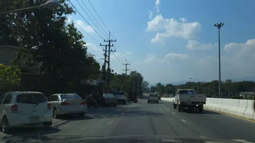
King Taksin the Great Memorial Shrine
Monument and historic site · 2.0 km
205 ถนนตากสิน


Parks, trails and playgrounds2


Restaurants and cafes21
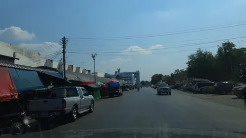
ร้านเรณูเมืองตาก
Restaurant · Noodle · 0.9 km
Soi Taksin
Mo-Su 04:00-16:00
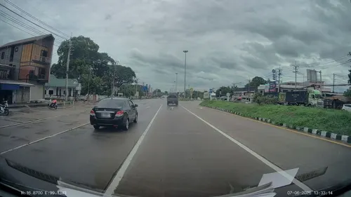
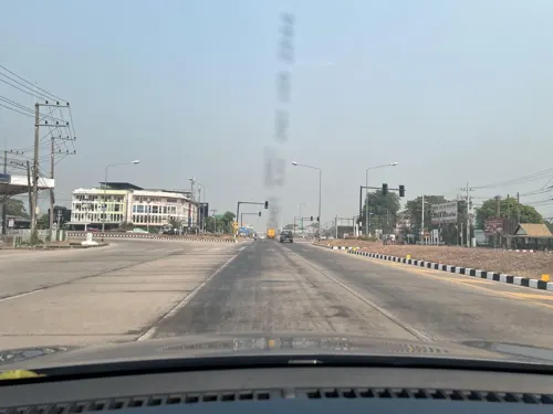
Ah Leang Restaurant
Restaurant · Thai, Chinese · 1.3 km
8 ถนนพหลโยธิน
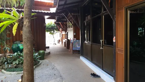
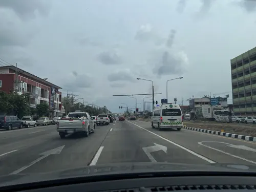
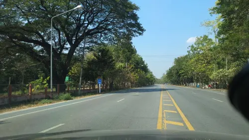
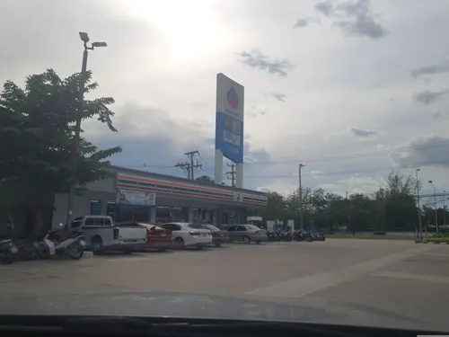


Ruktawan Farm
Restaurant · Italian, Thai, Sandwich, Coffee Shop, Ice Cream, Steak House · 2.4 km
Mo-Su 07:00-20:00
9 more on the map.
Where to stay20
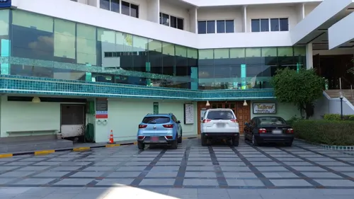
Viang Tak Riverside Hotel
Motel and hotel · 0.7 km
Mo-Su 05:00-21:00
Open in Google Maps · +66 55 512507;+66 55 512508;+66 81 8872905



Suansin Lanna Hotel
Motel and hotel · 1.3 km
8 Moo 8 ถนนพหลโยธิน
8 more on the map.
More about Tak
Geography
Tak is on the Ping River, which runs from north to south through the town. While the land to the east is fairly flat, the Tenasserim Hills and Dawna Range lie to the west.
From the Wikipedia article Tak, Thailand, under CC BY-SA 4.0.
Churches and places of worship14
City Pillar Shrine of the Four Great Kings (Wat Phra Narai)
Place of worship · 1.7 km
Shopping5
Gas and EV charging6
Schools, colleges and libraries7
Healthcare2
Map of Tak
82 places. The map loads OpenStreetMap tiles when you open it.
Getting there and nearby towns
Tak Airport (TKT) is the nearest airport with scheduled flights listed in OpenStreetMap, 14 km away.
- Ban Tak 20 km north, about 20 min by car
- Ban Wang Man 38 km north, about 38 min by car
- Ban Dan Lan Hoi 50 km east, about 50 min by car
- Kamphaeng Phet 60 km southeast, about 1 h by car
- Mae Sot 62 km west, about 1 h by car
- Ban Na 66 km east, about 1 h by car
- Mae Ramat 66 km west, about 1 h by car
- Khiri Mat 72 km east, about 1 h 15 min by car
- Sukhothai 75 km east, about 1 h 15 min by car
- Thoen 83 km north, about 1 h 30 min by car
Drive times are estimates from straight-line distance, not routes.
Keep exploring
Local news
Headlines from INDB.
Reviews, tips and questions
Loading what members have shared...
Sources and licences
- GeoNames (CC BY 4.0): population, coordinates, regions and time zone
- Mapillary (see each image): photos
- OpenStreetMap contributors (ODbL 1.0): places, airports, map data
- Wikidata (CC0 1.0): elevation, founding date, time zone, website
- Wikimedia Commons (see each image): photos
- Wikipedia (CC BY-SA 4.0): overview and history text
Photo credits
- Tak of Ping river, WokYai at English Wikipedia, CC BY-SA 3.0
- อำเภอเมืองตาก จังหวัดตาก MUANG TAK - panoramio, CHAMRAT CHAROENKHET, CC BY 3.0
- Rahaeng, Mueang Tak District, Tak 63000, Thailand - panoramio, Mozhar, CC BY-SA 3.0
- Rahaeng, Mueang Tak District, Tak 63000, Thailand - panoramio (1), Mozhar, CC BY-SA 3.0
- Tuk-tuk in Tak, PumpkinSky, CC BY-SA 4.0
- Tak Community Center Spirit Shrine, PumpkinSky, CC BY-SA 4.0
- Songkran in Tak 38, PumpkinSky, CC BY-SA 4.0
- Songkran in Tak 33, PumpkinSky, CC BY-SA 4.0
- จังหวัดตาก MUANG TAK - panoramio, CHAMRAT CHAROENKHET, CC BY 3.0
- Songkran in Tak 22, PumpkinSky, CC BY-SA 4.0
- Songkran in Tak 9, PumpkinSky, CC BY-SA 4.0
- Songkran in Tak 16, PumpkinSky, CC BY-SA 4.0
- Songkran in Tak 17, PumpkinSky, CC BY-SA 4.0
- Songkran in Tak 11, PumpkinSky, CC BY-SA 4.0
- Songkran in Tak 10, PumpkinSky, CC BY-SA 4.0
- Songkran in Tak 12, PumpkinSky, CC BY-SA 4.0
- Songkran in Tak 27, PumpkinSky, CC BY-SA 4.0
- Songkran in Tak 28, PumpkinSky, CC BY-SA 4.0
- Rahaeng, Mueang Tak District, Tak 63000, Thailand - panoramio (2), ::::=UT=::::, CC BY-SA 3.0
- Pa Mamuang, Mueang Tak District, Tak 63000, Thailand - panoramio (1), ::::=UT=::::, CC BY-SA 3.0
- Pa Mamuang, Mueang Tak District, Tak 63000, Thailand - panoramio, ::::=UT=::::, CC BY-SA 3.0
- Ant nest in tree in Thailand, PumpkinSky, CC BY-SA 4.0
- Couroupita guianensis fruit, PumpkinSky, CC BY-SA 4.0
- Couroupita guianensis flower 1, PumpkinSky, CC BY-SA 4.0
- Couroupita guianensis flower 2, PumpkinSky, CC BY-SA 4.0
- Unidentified Mollusca of Thailand 2a, PumpkinSky, CC BY-SA 4.0
- Unidentified Mollusca of Thailand 2b, PumpkinSky, CC BY-SA 4.0
- Unidentified Mollusca of Thailand 1b, PumpkinSky, CC BY-SA 4.0
- Thai Game chicken - white, PumpkinSky, CC BY-SA 4.0
- Unidentified Thai Duck, PumpkinSky, CC BY-SA 4.0
- Thai Game chicken - red 3, PumpkinSky, CC BY-SA 4.0
- Thai Game chicken - white head 4, PumpkinSky, CC BY-SA 4.0
- Thai Game chicken - red 2, PumpkinSky, CC BY-SA 4.0
- Thai Game chicken - rooster, PumpkinSky, CC BY-SA 4.0
- Thai Game chicken - white head 1, PumpkinSky, CC BY-SA 4.0
- Thai Game chicken - black, PumpkinSky, CC BY-SA 4.0
- White Chinese Goose in Thailand, PumpkinSky, CC BY-SA 4.0
- Thai Game chicken - white head 3, PumpkinSky, CC BY-SA 4.0
- Thai Game chicken - white head 2, PumpkinSky, CC BY-SA 4.0
- Thai Game chicken - red 1, PumpkinSky, CC BY-SA 4.0
- Street-level photo, jrcarlsen, CC BY-SA 4.0
- Street-level photo, jrcarlsen, CC BY-SA 4.0
- Street-level photo, ThailandCambodia, CC BY-SA 4.0
- Street-level photo, lin_wang, CC BY-SA 4.0
- Street-level photo, jrcarlsen, CC BY-SA 4.0
- Street-level photo, jrcarlsen, CC BY-SA 4.0
- Street-level photo, lin_wang, CC BY-SA 4.0
- Street-level photo, lin_wang, CC BY-SA 4.0
- Street-level photo, jrcarlsen, CC BY-SA 4.0
- Street-level photo, jrcarlsen, CC BY-SA 4.0
- Street-level photo, jrcarlsen, CC BY-SA 4.0
- Street-level photo, lin_wang, CC BY-SA 4.0
- Street-level photo, jrcarlsen, CC BY-SA 4.0
- Street-level photo, jrcarlsen, CC BY-SA 4.0
- Street-level photo, jrcarlsen, CC BY-SA 4.0
- Street-level photo, jrcarlsen, CC BY-SA 4.0
- Street-level photo, jrcarlsen, CC BY-SA 4.0
- Street-level photo, jrcarlsen, CC BY-SA 4.0


Page built November 10, 2026. Spotted a mistake? Tell us or suggest a place.