

Tha Bo, Thailand
เทศบาลเมืองท่าบ่อ
Tha Bo is a town of 35,292 people in Nong Khai, Thailand.
Loading the weather...
Population35,292
GeoNames
Local nameเทศบาลเมืองท่าบ่อ
RegionNong Khai
Elevation182 m
597 ft
Time zoneAsia/Bangkok
Nearest airportUdon Thani International Airport (UTH)
56 km
Why visit Tha Bo
Townapedia lists 4 places to eat and 1 place to stay in and around town.
Weather in Tha Bo
Forecast from MET Norway (CC BY 4.0). Full forecast
Restaurants and cafes4
สะกงสเก็ตคาฟงคาเฟ่
Cafe · Coffee Shop, Dessert, Regional, หมูกะทะ, หม่าล่า, จิ้มจุ่ม · 2.0 km
520 หมู่9 ชลประทาน, ท่าบ่อ
11:00-23:00


หมูสะเต๊ะแม่เสงี่ยม อร่อยยืนหนึ่ง สาขาท่าบ่อ
Restaurant · Asian
615 จรดล 4, ท่าบ่อ

Where to stay1

Churches and places of worship1

Shopping1

Gas and EV charging3
Schools, colleges and libraries1
Healthcare3
Map of Tha Bo
14 places. The map loads OpenStreetMap tiles when you open it.
Getting there and nearby towns
Udon Thani International Airport (UTH) is the nearest airport with scheduled flights listed in OpenStreetMap, 56 km away.
- Si Chiang Mai 12 km north, about 12 min by car
- Nong Khai 17 km east, about 17 min by car
- Sangkhom 40 km northwest, about 40 min by car
- Nam Som 42 km west, about 42 min by car
- Kut Chap 47 km south, about 47 min by car
- Udon Thani 53 km southeast, about 53 min by car
- Phon Charoen 65 km east, about 1 h by car
- Nong Bua Lamphu 73 km south, about 1 h 15 min by car
- Na Klang 73 km southwest, about 1 h 15 min by car
- Ban Dung 74 km east, about 1 h 15 min by car
Drive times are estimates from straight-line distance, not routes.
Keep exploring
Local news
Headlines from INDB.
Reviews, tips and questions
Loading what members have shared...
Sources and licences
- GeoNames (CC BY 4.0): population, coordinates, regions and time zone
- Mapillary (see each image): photos
- OpenStreetMap contributors (ODbL 1.0): places, airports, map data
- Wikidata (CC0 1.0): elevation, founding date, time zone, website
- Wikimedia Commons (see each image): photos
Photo credits
- ตลาดท่าบ่อ - panoramio, ::::=UT=::::, CC BY-SA 3.0
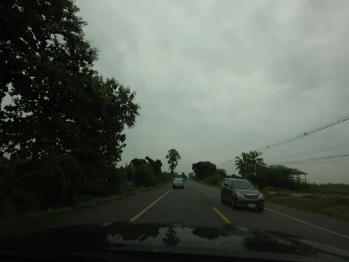
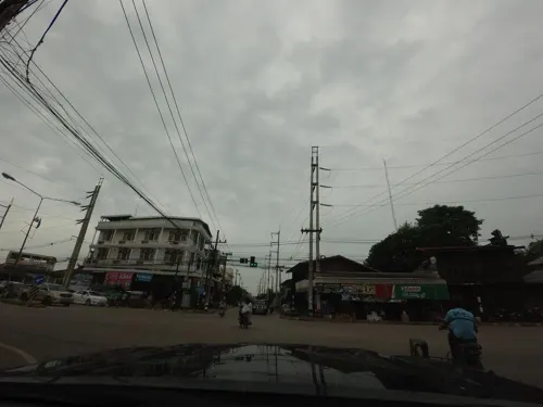
- Street-level photo, mishari, CC BY-SA 4.0
- Street-level photo, mishari, CC BY-SA 4.0
- Street-level photo, mishari, CC BY-SA 4.0
Page built November 10, 2026. Spotted a mistake? Tell us or suggest a place.