
Why visit Acırlı
Townapedia lists 2 parks and trails and 1 place to stay in and around town.
Weather in Acırlı
Forecast from MET Norway (CC BY 4.0). Full forecast
About Acırlı
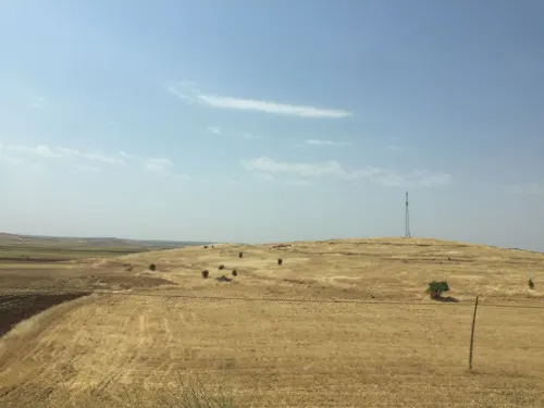
Acırlı (Kurdish: Derizbîn; Syriac: ܙܒܝܢܐ ܡܪܝ, romanized: Dayro Zbino) is a neighbourhood of the municipality and district of Midyat, Mardin Province, Turkey. Its population is 3,069 (2022). Before the 2013 reorganisation, it was a town (belde). The village is populated by Kurds of the Kercoz tribe and Mhallami.
From the Wikipedia article Acırlı, Midyat (this version), under CC BY-SA 4.0.
Parks, trails and playgrounds2

Where to stay1
Midyat Royal Hotel
Motel and hotel · 2.0 km
72 Mardin Caddesi, Mardin
Churches and places of worship4

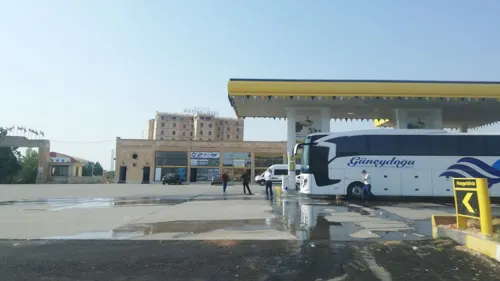
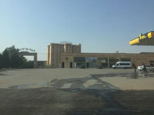
Gas and EV charging2
History
Dayro Zbino (today called Acırlı) was previously the site of the Monastery of Mar Zbina, mentioned in the Life of Simeon of the Olives. It has been suggested that it may be identified with the Monastery of Zebinus in the Roman province of Mesopotamia, which was restored by Emperor Justinian I (r. 527–565) as per Procopius in On Buildings. The village developed around the monastery and was historically inhabited by Syriac Christians who converted to Islam in c. 1583 to escape persecution. The mosque at Derizbin was constructed on the site of the church.
From the History section of Acırlı, Midyat on Wikipedia, under CC BY-SA 4.0.
Healthcare1
Map of Acırlı
10 places. The map loads OpenStreetMap tiles when you open it.
Getting there and nearby towns
14. İnsansız Uçak Sistemleri Üs Komutanlığı Askeri Havaalanı (BAL) is the nearest airport with scheduled flights listed in OpenStreetMap, 55 km away.
- Midyat 6 km southeast, about 6 min by car
- Hasankeyf 29 km north, about 29 min by car
- Nusaybin 43 km south, about 43 min by car
- Erköklü 47 km north, about 47 min by car
- Batman 50 km north, about 50 min by car
- Aydınkonak 50 km north, about 50 min by car
- Mardin 51 km west, about 51 min by car
- Demiryol 53 km north, about 53 min by car
- Kızıltepe 70 km southwest, about 1 h 15 min by car
- Siirt 77 km northeast, about 1 h 15 min by car
Drive times are estimates from straight-line distance, not routes.
Local news
Headlines from INDB.
Reviews, tips and questions
Loading what members have shared...
Sources and licences
- GeoNames (CC BY 4.0): population, coordinates, regions and time zone
- Mapillary (see each image): photos
- OpenStreetMap contributors (ODbL 1.0): places, airports, map data
- Wikidata (CC0 1.0): elevation, founding date, time zone, website
- Wikipedia (CC BY-SA 4.0): overview and history text
Photo credits
- Street-level photo, sessiznotalar, CC BY-SA 4.0
- Street-level photo, aygur, CC BY-SA 4.0
- Street-level photo, sessiznotalar, CC BY-SA 4.0
Page built November 8, 2026. Spotted a mistake? Tell us or suggest a place.