


Why visit Hasankeyf
Townapedia lists 32 museums and landmarks, 5 parks and trails, 9 places to eat, 4 places to stay and 2 attractions in and around town.
Highlights include Old Bridge, Hasankeyf, Raman Dağı, Hasankeyf Castle and Hasankeyf Müzesi.
Weather in Hasankeyf
Forecast from MET Norway (CC BY 4.0). Full forecast
About Hasankeyf
Hasankeyf is a town located along the Tigris, in the Hasankeyf District, Batman Province, Turkey. It was declared a natural conservation area by Turkey in 1981.
From the Wikipedia article Hasankeyf (this version), under CC BY-SA 4.0.
Travel tips from other travellers: Hasankeyf on Wikivoyage (CC BY-SA 4.0).
Things to do2

Old Bridge, Hasankeyf
Bridge · 1.1 km
Former old bridge in Hasankeyf, Batman, Turkey (under water)

Museums and landmarks32




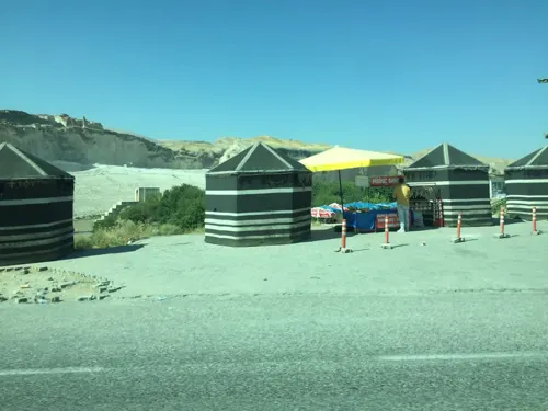
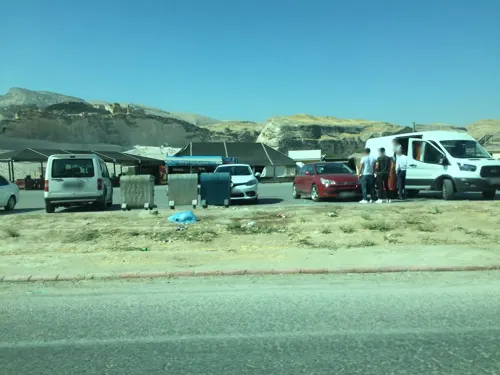
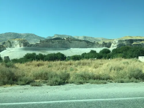


20 more on the map.
Parks, trails and playgrounds5


Restaurants and cafes9



Where to stay4
Churches and places of worship22
Shopping2
Gas and EV charging4
Schools, colleges and libraries9
Healthcare5
Hasankeyf Aile Sağlığı Merkezi
Clinic and pharmacy · 3.2 km
İsmail Zemin Caddesi, Batman
Hasankeyf Toplum Sağlığı Merkezi
Clinic and pharmacy · 3.2 km
11 209. Sokak, Batman
Map of Hasankeyf
94 places. The map loads OpenStreetMap tiles when you open it.
Getting there and nearby towns
14. İnsansız Uçak Sistemleri Üs Komutanlığı Askeri Havaalanı (BAL) is the nearest airport with scheduled flights listed in OpenStreetMap, 35 km away.
- Kesmeköprü 1 km northeast, about 1 min by car
- Karaköy 3 km south, about 3 min by car
- Kılıç 3 km northwest, about 3 min by car
- Kozlu 8 km south, about 8 min by car
- Batman 31 km northwest, about 31 min by car
- Midyat 32 km south, about 32 min by car
- Siirt 53 km northeast, about 53 min by car
- Mardin 73 km southwest, about 1 h 15 min by car
- Nusaybin 73 km south, about 1 h 15 min by car
- Cizre 80 km southeast, about 1 h 15 min by car
Drive times are estimates from straight-line distance, not routes.
Local news
Headlines from INDB.
Reviews, tips and questions
Loading what members have shared...
Sources and licences
- GeoNames (CC BY 4.0): population, coordinates, regions and time zone
- Mapillary (see each image): photos
- OpenStreetMap contributors (ODbL 1.0): places, airports, map data
- Wikidata (CC0 1.0): elevation, founding date, time zone, website, landmarks and historic places
- Wikimedia Commons (see each image): photos
- Wikipedia (CC BY-SA 4.0): overview and history text
Photo credits
- Hasankeyf P1040963 20080425162608, Nevit Dilmen, CC BY-SA 3.0
- Hasankeyf, Turkey (Unsplash), m wrona maciek_wrona, CC0
- Hasankeyf - panoramio (4), Ramazan B., CC BY 3.0
- Hasankeyf El Rizk Mosque 8326, Dosseman, CC BY-SA 4.0
- Hasankeyf Uphill walk 28 8329, Dosseman, CC BY-SA 4.0
- Hasankeyf Uphill walk 20 8327, Dosseman, CC BY-SA 4.0
- Hasankeyf Uphill walk 29 8328, Dosseman, CC BY-SA 4.0
- Hasankeyf Uphill walk 23 8322, Dosseman, CC BY-SA 4.0
- Castle Road, Hasankeyf, Turkey, 2010 - panoramio, Tugrul Kagan Ates, CC BY 3.0
- Hasankeyf P1040964 20080425162749, Nevit Dilmen, CC BY-SA 3.0
- Hasankeyf P1040965 20080425162754, Nevit Dilmen, CC BY-SA 3.0
- Kale, 72350 Hasankeyf-Batman, Turkey - panoramio (3), Ramazan B., CC BY 3.0
- Kale, 72350 Hasankeyf-Batman, Turkey - panoramio (2), Ramazan B., CC BY 3.0
- Hasankeyf P1040959 20080425162513, Nevit Dilmen, CC BY-SA 3.0
- Hasankeyf Uphill walk 16 8316, Dosseman, CC BY-SA 4.0
- Hasankeyf P1040968 20080425163921, Nevit Dilmen, CC BY-SA 3.0
- Kale, 72350 Hasankeyf-Batman, Turkey - panoramio (1), Ramazan B., CC BY 3.0
- Kale, 72350 Hasankeyf-Batman, Turkey - panoramio, Ramazan B., CC BY 3.0
- Hasankeyf P1040960 20080425162521, Nevit Dilmen, CC BY-SA 3.0
- Hasankeyf-Batman, Turkey - panoramio (6), Ramazan B., CC BY 3.0
- Hasankeyf P1040993 20080425175045, Nevit Dilmen, CC BY-SA 3.0
- Hasankeyf Uphill walk 21 8319, Dosseman, CC BY-SA 4.0
- Hasankeyf (26572278948), Herbert Frank from Wien (Vienna), AT, CC BY 2.0
- Hasankeyf (40443325671), Herbert Frank from Wien (Vienna), AT, CC BY 2.0
- Hasankeyf (40443322861), Herbert Frank from Wien (Vienna), AT, CC BY 2.0
- Hasankeyf (39547046895), Herbert Frank from Wien (Vienna), AT, CC BY 2.0
- Hasankeyf (39547046815), Herbert Frank from Wien (Vienna), AT, CC BY 2.0
- Hasankeyf (39547047045), Herbert Frank from Wien (Vienna), AT, CC BY 2.0
- Hasankeyf (26572338438), Herbert Frank from Wien (Vienna), AT, CC BY 2.0
- Hasankeyf Uphill walk 13 8312, Dosseman, CC BY-SA 4.0
- Hasankeyf (26572339248), Herbert Frank from Wien (Vienna), AT, CC BY 2.0
- Hasankeyf (26572337888), Herbert Frank from Wien (Vienna), AT, CC BY 2.0
- Gün Batımı-Hasankeyf (Sun Set at Hasankeyf) - panoramio, Halit Edip Özcan, CC BY-SA 3.0
- Hasankeyf-Batman, Turkey - panoramio (5), Ramazan B., CC BY 3.0
- Tigris, Hasankeyf, Turkey, 2010, Tugrul Kagan Ates, CC BY 3.0
- Hasankeyf P1040955 20080425162057, Nevit Dilmen, CC BY-SA 3.0
- Kale, 72350 Hasankeyf-Batman, Turkey - panoramio (4), Ramazan B., CC BY 3.0
- Hasankeyf and River Dicle, Senol Demir from Turkey, CC BY 2.0
- Hasankeyf P1040949 20080425161929, Nevit Dilmen, CC BY-SA 3.0
- Heskîf 2012, Dûrzan, CC BY-SA 3.0
- Panoramic View of Hasankeyf, Balkanique, CC BY-SA 4.0
- Zeynel Bey Mausoleum, Hasankeyf, Htkava, CC BY-SA 3.0
- Raman Dağı 01, Vedatblc72, CC BY-SA 4.0
- Street-level photo, nesim, CC BY-SA 4.0
- Street-level photo, sessiznotalar, CC BY-SA 4.0
- Street-level photo, sessiznotalar, CC BY-SA 4.0
- Street-level photo, sessiznotalar, CC BY-SA 4.0
- Street-level photo, nesim, CC BY-SA 4.0


Page built November 8, 2026. Spotted a mistake? Tell us or suggest a place.