


Why visit Balat
Townapedia lists 38 museums and landmarks, 1 place to eat and 1 attraction in and around town.
Highlights include Ancient Miletus and Miletus.
Weather in Balat
Forecast from MET Norway (CC BY 4.0). Full forecast
About Balat
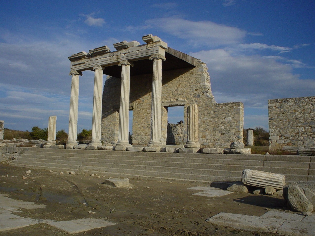
Balat is a neighbourhood in the municipality and district of Didim, Aydın Province, Turkey. Its population is 1,036 (2022). The ruins of the ancient Greek city of Miletus are near the village.
From the Wikipedia article Balat, Didim (this version), under CC BY-SA 4.0.
Things to do1

Museums and landmarks38

Miletus
Monument and historic site · 1.9 km
Ancient city of Ionia, in modern-day Turkey




26 more on the map.
Restaurants and cafes1

Churches and places of worship1


Map of Balat
41 places. The map loads OpenStreetMap tiles when you open it.
Getting there and nearby towns
Milas–Bodrum Airport (BJV) is the nearest airport with scheduled flights listed in OpenStreetMap, 45 km away.
- Didim 14 km south, about 14 min by car
- Güllübahçe 17 km north, about 17 min by car
- Güzelçamlı 23 km north, about 23 min by car
- Söke 28 km northeast, about 28 min by car
- Kuşadası 39 km north, about 39 min by car
- Yalıkavak 45 km south, about 45 min by car
- Koçarlı 47 km northeast, about 47 min by car
- Milas 50 km southeast, about 50 min by car
- Selçuk 49 km north, about 49 min by car
- Bodrum 54 km south, about 54 min by car
Drive times are estimates from straight-line distance, not routes.
Local news
Headlines from INDB.
Reviews, tips and questions
Loading what members have shared...
Sources and licences
- GeoNames (CC BY 4.0): population, coordinates, regions and time zone
- OpenStreetMap contributors (ODbL 1.0): places, airports, map data
- Wikidata (CC0 1.0): elevation, founding date, time zone, website, landmarks and historic places
- Wikimedia Commons (see each image): photos
- Wikipedia (CC BY-SA 4.0): overview and history text
Photo credits
- Balat İlyas Bey Camii, Canercangul, CC BY-SA 4.0
- Mosque Ilyas Bey exterior, Wolfgang Glock, Public domain
- The Theater of Miletus, https://www.flickr.com/photos/jiuguangw/, CC BY-SA 2.0
- Bouleuterium Milet, Matthias Holländer, CC0
- Miletus bath of Faustyna RB 1, Unknown author, CC BY-SA 3.0
- MiletusIonicStoa, Monsieurdl at English Wikipedia, Public domain
- Miletus Nymphaeum in 2007 4546 01, Dosseman, CC BY-SA 4.0
- Miletus Museum, Turkey (53331495269), Carole Raddato from FRANKFURT, Germany, CC BY-SA 2.0
- Miletus Capito Baths in 2015 3346, Dosseman, CC BY-SA 4.0
- The Ionic Stoa of Miletus, Hamed Kholdi, CC BY-SA 4.0
- Milet müzesi - panoramio, uğur baysan, CC BY-SA 3.0
- Miletus Museum Minoan Roman displays in garden in 2015 3421, Dosseman, CC BY-SA 4.0
- Miletus Museum Minoan Roman displays in garden in 2015 3422, Dosseman, CC BY-SA 4.0
- Miletus Museum Minoan Roman displays in garden in 2015 3423, Dosseman, CC BY-SA 4.0
- Milet-müzesi-20230922 125310, Erdalkara, CC0
- Milet-müzesi-20230922 125229, Erdalkara, CC0
- Milet-müzesi-20230922 125631, Erdalkara, CC0
- Milet-müzesi-20230922 125737, Erdalkara, CC0
- İlyas Bey Külliyesi - Aydın, Kadı, CC BY-SA 4.0
- İlyas Bey Külliyesi Kubbesi (29042023), Kadı Kadı, CC BY-SA 2.0
- İlyas Bey Külliyesi (29042023), Kadı Kadı, CC BY-SA 2.0
- İlyas Bey Medresesi, Canercangul, CC BY-SA 4.0
- Miletus Baths of Faustina approach to entrance in 2015 3367, Dosseman, CC BY-SA 4.0
- Miletus Baths of Faustina entrance in 2015 3368, Dosseman, CC BY-SA 4.0
- Miletus Serapeion in 2015 3366, Dosseman, CC BY-SA 4.0
- Miletus Baths of Faustina near entrance in 2015 3369, Dosseman, CC BY-SA 4.0
- Miletus Baths of Faustina near entrance in 2015 3370, Dosseman, CC BY-SA 4.0
- Miletus Baths of Faustina tepidarium in 2015 3371, Dosseman, CC BY-SA 4.0
- Miletus Baths of Faustina plan on site in 2015 3372 (1), Dosseman, CC BY-SA 4.0
- Miletus Baths of Faustina frigidarium in 2015 3372, Dosseman, CC BY-SA 4.0
- Miletus Baths of Faustina frigidarium in 2015 3373, Dosseman, CC BY-SA 4.0
- Miletus Baths of Faustina frigidarium in 2015 3374 (1), Dosseman, CC BY-SA 4.0
- Miletus Baths of Faustina apodyterium for (un)dressing in 2015 3376, Dosseman, CC BY-SA 4.0
- Miletus Baths of Faustina unidentified room in 2015 3378, Dosseman, CC BY-SA 4.0
- Miletus Buleuterion in 2015 3363, Dosseman, CC BY-SA 4.0
- Miletus Baths of Faustina unidentified room in 2015 3377, Dosseman, CC BY-SA 4.0
- Mileto - Terme di Faustina - panoramio, Geobia7, CC BY-SA 3.0
- Miletus Nymphaeum in 2007 4546 07, Dosseman, CC BY-SA 4.0
- Miletus Turkish Bath in 2015 3364, Dosseman, CC BY-SA 4.0
- Miletus Nymphaeum in 2015 3360, Dosseman, CC BY-SA 4.0
- Miletus Delphinion in 2015 3355, Dosseman, CC BY-SA 4.0


Page built November 8, 2026. Spotted a mistake? Tell us or suggest a place.