

Weather in Baykan
Forecast from MET Norway (CC BY 4.0). Full forecast
About Baykan
Baykan (Arabic: دير هابيل; Kurdish: Hawêl; Syriac: ܕܝܪܐ ܕܗܒܝܠ, romanized: Dayr Hābil) is a municipality in the Baykan District of the Siirt Province in Turkey. It is populated by Kurds and had a population of 5,544 in 2021. Baykan is divided into the neighbourhoods of Cefan, Havel, İnönü, Karşıyaka and Yenidoğan.
From the Wikipedia article Baykan (this version), under CC BY-SA 4.0.
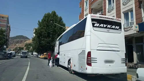
Churches and places of worship1
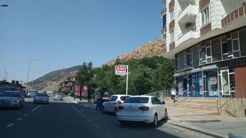
Shopping1
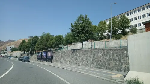
Gas and EV charging1

Healthcare3


History
Dayr Hābil (today called Baykan) was historically inhabited by Syriac Orthodox Christians. It is alternatively named as an Armenian village. A copy of the Gospel which contained the biography of Metropolitan Yuhanna of Mardin was sold to the church of the Monastery of Mar Abel in 1396. The Maphrian Basil Barsawma (r. 1422–1455) was a monk at the Monastery of Mar Habel. Ignatius Khalaf of Maʿdan, patriarch of Antioch (r. 1455–1483), was from the village of the Monastery of Hobīl.
In the Syriac Orthodox patriarchal register of dues of 1870, it was recorded that the village had 11 households, who paid 62 dues, and it did not have a priest. There was a church of Morī Ḥananyyā. In a letter from Priest Ibrahim to Patriarch Ignatius Abdul Masih II, it is recorded that the village was attacked by about 100 men of the Danabkta kochers led by two sons of the chief of the tribe, Mijdad Agha, on 15 October 1895, amidst the Hamidian massacres. The monastery and most of the houses were burned down and the villagers took refuge in friendly Muslim villages.
In the local elections in March 2019, Ramazan Sarsılmaz from the Peoples' Democratic Party (HDP) was elected mayor. Mehmet Tunç was appointed Kaymakam in September 2018. On 15 May 2020, Sarsılmaz was dismissed from his post, and Mehmet Tunç was appointed as the trustee of the municipality.
From the History section of Baykan on Wikipedia, under CC BY-SA 4.0.
Map of Baykan
6 places. The map loads OpenStreetMap tiles when you open it.
Getting there and nearby towns
Siirt Airport (SXZ) is the nearest airport with scheduled flights listed in OpenStreetMap, 21 km away.
- Ulaştı 5 km south, about 5 min by car
- Gündoğdu 8 km south, about 8 min by car
- Karakaya 9 km southwest, about 9 min by car
- Tütenocak 10 km southwest, about 10 min by car
- Siirt 29 km southeast, about 29 min by car
- Bitlis 40 km northeast, about 40 min by car
- Hizan 57 km east, about 57 min by car
- Tatvan 58 km northeast, about 58 min by car
- Batman 64 km southwest, about 1 h by car
- Muş 69 km north, about 1 h 15 min by car
Drive times are estimates from straight-line distance, not routes.
Local news
Headlines from INDB.
Reviews, tips and questions
Loading what members have shared...
Sources and licences
- GeoNames (CC BY 4.0): population, coordinates, regions and time zone
- Mapillary (see each image): photos
- OpenStreetMap contributors (ODbL 1.0): places, airports, map data
- Wikidata (CC0 1.0): elevation, founding date, time zone, website
- Wikimedia Commons (see each image): photos
- Wikipedia (CC BY-SA 4.0): overview and history text
Photo credits
- Weysel Qaranî, Dûrzan, CC BY-SA 4.0
- Street-level photo, rafialacahan, CC BY-SA 4.0
- Street-level photo, rafialacahan, CC BY-SA 4.0
- Street-level photo, rafialacahan, CC BY-SA 4.0
Page built November 8, 2026. Spotted a mistake? Tell us or suggest a place.