


Why visit Çorlu
Townapedia lists 13 museums and landmarks, 45 parks and trails, 154 places to eat, 10 places to stay and 14 attractions in and around town.
Highlights include Beodizo, Mocasura, Kitap Kafe and Nazım Hikmet Ran Parkı.
Weather in Çorlu
Forecast from MET Norway (CC BY 4.0). Full forecast
About Çorlu
Çorlu (Turkish: [ˈtʃoɾɫu] ) is a municipality and district of Tekirdağ Province, northwestern Turkey. Its area is 531 km2, and its population is 306,939 (2025). It is a rapidly growing industrial center built on flatland located on the motorway Otoyol 3 and off the highway D.100 between Istanbul and Turkey's border with Greece and Bulgaria. The nearest airport is Tekirdağ Çorlu Atatürk Airport (TEQ).
From the Wikipedia article Çorlu (this version), under CC BY-SA 4.0.
Travel tips from other travellers: Çorlu on Wikivoyage (CC BY-SA 4.0).
Things to do14



2 more on the map.
Museums and landmarks13

Beodizo
Monument and historic site · 8.4 km
Settlement and station (mutatio) of ancient Thrace
Mocasura
Monument and historic site · 17.7 km
Ancient city of Thrace, in modern-day Turkey
Neonteichos
Monument and historic site · 16.0 km
Fortified town on the coast of ancient Thrace
Tipaso
Monument and historic site · 12.6 km
Settlement and station (mutatio) of ancient Thrace

1 more on the map.
Parks, trails and playgrounds45

Şehit Çavuş Sedat Uysalcan Parkı
Park · 1.4 km
Şehit Çavuş Sedat Uysalcan anısına yapılmış parktır eskiden Beşiktaşlılar parkı olarak da bilinmektedir
24/7


Çorlu Belediyesi Masal Park
Sports field and stadium · 7.0 km
4 Kültegin Sokak, Tekirdağ
33 more on the map.
Restaurants and cafes154

Altın koza restaurant Adnan ustanın yeri
Restaurant · Turkish · 0.7 km
Eski Tekirdağ Caddesi

Kahve Dünyası
Cafe · Coffee Shop · 3.0 km
9 Z-9/A Z-01 Salih Omurtak Caddesi, Çorlu
Mersinli Ciğerci Baba
Restaurant · 2.8 km
18/2 Dumlupınar Caddesi

Saydanlar Kanaat Lokantası
Restaurant · Kebab, Regional · 2.9 km
Dumlupınar Caddesi
Ünselili Kardeşler Unlu Mamülleri
Bakery · 0.8 km
7/A Mustafa Kemal Caddesi
142 more on the map.
History
Bronze Age relics have been found in various areas of Thrace including Çorlu and by 1000 BC, the area was a Phrygian-Greek colony. The area was subsequently controlled by the Greeks, Persians, Romans, and Byzantines.
During Roman and Byzantine times, the town was referred to as Tzouroulos, or Syrallo, and later became Tiroloi (Τυρολόη). The spelling Zorolus is used for the Latinised form of the name of the episcopal see identified with present-day Çorlu in the Catholic Church's list of titular sees. Some writers have identified the Roman town of Caenophrurium (the stronghold of the Caeni and the place where Emperor Aurelian was murdered in 275) with Çorlu, but this seems unlikely as the Antonine Itinerary lists Cenofrurium as two stages and 36 Roman miles (53 kilometre) closer to Byzantium than Tzirallum, and the Tabula Peutingeriana shows the locations separately. There were important Roman and Byzantine fortifications at Caenophrurium, which was a base for controlling large areas of Thrace.
From the History section of Çorlu on Wikipedia, under CC BY-SA 4.0.
Where to stay10
Churches and places of worship30
Shopping89
Gas and EV charging26
Total Energies Çorlu Çıkışı
Gas station · 5.5 km
8 Çorlu - Çerkezköy Yolu, Tekirdağ
Schools, colleges and libraries77
Healthcare101
Ali Paşa Aile Sağlığı Merkezi
Clinic and pharmacy · 1.9 km
72 Bülent Ecevit Bulvarı, Tekirdağ
Altıntaş Eczanesi
Clinic and pharmacy · 1.5 km
52/A Mimar Sinan Caddesi, Tekirdağ
Map of Çorlu
250 places. The map loads OpenStreetMap tiles when you open it.
Getting there and nearby towns
Tekirdağ Çorlu Atatürk Airport (TEQ) is the nearest airport with scheduled flights listed in OpenStreetMap, 10 km away.
- Marmaracık 6 km northwest, about 6 min by car
- Velimeşe 12 km northeast, about 12 min by car
- Çerkezköy 22 km northeast, about 22 min by car
- Sultanköy 22 km southeast, about 22 min by car
- Marmara Ereğlisi 25 km southeast, about 25 min by car
- Tekirdağ 32 km southwest, about 32 min by car
- Beylikdüzü 73 km east, about 1 h 15 min by car
- Arnavutköy 79 km east, about 1 h 15 min by car
- Küçükçekmece 83 km east, about 1 h 30 min by car
- Bağcılar 89 km east, about 1 h 30 min by car
Drive times are estimates from straight-line distance, not routes.
Local news
Headlines from INDB.
Reviews, tips and questions
Loading what members have shared...
Sources and licences
- GeoNames (CC BY 4.0): population, coordinates, regions and time zone
- Mapillary (see each image): photos
- OpenStreetMap contributors (ODbL 1.0): places, airports, map data
- Wikidata (CC0 1.0): elevation, founding date, time zone, website, landmarks and historic places
- Wikimedia Commons (see each image): photos
- Wikipedia (CC BY-SA 4.0): overview and history text
Photo credits
- EmlakKonutFraBroen, Infestor, CC BY-SA 3.0
- Süleymaniye Camii, Çorlu 2022-11-29 16.28.17 1792253985, Canercangul, CC BY-SA 4.0
- Leodoro Piscicello, con alcuni militi armati dell'impero bizantino, in Tracia, presso il Castrum Zurolo (fortezza Zurolo) nei pressi di çorlu, oggi città turca, sec. X, GiovAngri, CC BY-SA 4.0
- Çorlu - Çorlu Yahudi Mezarlığı - 20250531101458, Sadrettin, CC BY-SA 4.0
- Çorlu - Çorlu Yahudi Mezarlığı - 20250531101003, Sadrettin, CC BY-SA 4.0
- Çorlu - Çorlu Yahudi Mezarlığı - 20250531101144, Sadrettin, CC BY-SA 4.0
- Çorlu - Çorlu Yahudi Mezarlığı - 20250531101400, Sadrettin, CC BY-SA 4.0
- Çorlu - Çorlu Yahudi Mezarlığı - 20250531100939, Sadrettin, CC BY-SA 4.0
- Çorlu - Çorlu Yahudi Mezarlığı - 20250531100814, Sadrettin, CC BY-SA 4.0
- Çorlu - Çorlu Yahudi Mezarlığı - 20250531100758, Sadrettin, CC BY-SA 4.0
- Çorlu - Çorlu Yahudi Mezarlığı - 20250531100541, Sadrettin, CC BY-SA 4.0
- Çorlu - Çorlu Yahudi Mezarlığı - 20250531101908, Sadrettin, CC BY-SA 4.0
- Çorlu - Çorlu Yahudi Mezarlığı - 20250531101939, Sadrettin, CC BY-SA 4.0
- Çorlu - Çorlu Yahudi Mezarlığı - 20250531101753, Sadrettin, CC BY-SA 4.0
- Çorlu - Çorlu Yahudi Mezarlığı - 20250531100034, Sadrettin, CC BY-SA 4.0
- Çorlu - Çorlu Yahudi Mezarlığı - 20250531100730, Sadrettin, CC BY-SA 4.0
- Çorlu - Çorlu Yahudi Mezarlığı - 20250531100547, Sadrettin, CC BY-SA 4.0
- Çorlu - Çorlu Yahudi Mezarlığı - 20250531101553, Sadrettin, CC BY-SA 4.0
- Çorlu - Çorlu Yahudi Mezarlığı - 20250531100553, Sadrettin, CC BY-SA 4.0
- Çorlu - Çorlu Yahudi Mezarlığı - 20250531100613, Sadrettin, CC BY-SA 4.0
- Çorlu - Çorlu Yahudi Mezarlığı - 20250531101811, Sadrettin, CC BY-SA 4.0
- Çorlu - Çorlu Yahudi Mezarlığı - 20250531101654, Sadrettin, CC BY-SA 4.0
- Çorlu - Çorlu Yahudi Mezarlığı - 20250531100601, Sadrettin, CC BY-SA 4.0
- Çorlu - Çorlu Yahudi Mezarlığı - 20250531100428, Sadrettin, CC BY-SA 4.0
- Çorlu - Çorlu Yahudi Mezarlığı - 20250531100415, Sadrettin, CC BY-SA 4.0
- Çorlu - Çorlu Yahudi Mezarlığı - 20250531095950, Sadrettin, CC BY-SA 4.0
- Çorlu - Çorlu Yahudi Mezarlığı - 20250531095921, Sadrettin, CC BY-SA 4.0
- Çorlu - Çorlu Yahudi Mezarlığı - 20250531095741, Sadrettin, CC BY-SA 4.0
- Çorlu - Çorlu Yahudi Mezarlığı - 20250531095726, Sadrettin, CC BY-SA 4.0
- Çorlu - Çorlu Yahudi Mezarlığı - 20250531095701, Sadrettin, CC BY-SA 4.0
- Çorlu - Çorlu Yahudi Mezarlığı - 20250531095819, Sadrettin, CC BY-SA 4.0
- ÇORLU - panoramio, hüseyin yeşil, CC BY 3.0
- FatihMosqueÇorlu, CeeGee, CC BY-SA 4.0
- Pianta in prospettiva della città fortificata ZURULUS - URBS THRACIAE, secoli X-XI, GiovAngri, CC BY-SA 4.0
- Kız Meslek Kavşağı... - panoramio, Sinan Şahin, CC BY 3.0
- ChildhoodGames - Flickr - @Tuncay, Tuncay from Istanbul, Turkey, CC BY 2.0
- Havuzlar Tarafı... - panoramio, Sinan Şahin, CC BY 3.0
- Küçük Gölet... - panoramio, Sinan Şahin, CC BY 3.0
- Park... - panoramio, Sinan Şahin, CC BY 3.0
- Cumhuriyet Parkı... - panoramio, Sinan Şahin, CC BY 3.0
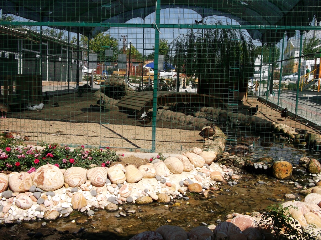
- Hayvanat Bahçesi... - panoramio, Sinan Şahin, CC BY 3.0
- Street-level photo, okansafak, CC BY-SA 4.0
- Street-level photo, sis651, CC BY-SA 4.0
- Street-level photo, mcamlica, CC BY-SA 4.0
- Street-level photo, okansafak, CC BY-SA 4.0
- Street-level photo, sis651, CC BY-SA 4.0
- Street-level photo, okansafak, CC BY-SA 4.0
- Street-level photo, ahmettsafaa, CC BY-SA 4.0
- Street-level photo, sis651, CC BY-SA 4.0
- Street-level photo, okansafak, CC BY-SA 4.0
- Street-level photo, hderinoz, CC BY-SA 4.0
- Street-level photo, okansafak, CC BY-SA 4.0


Page built November 8, 2026. Spotted a mistake? Tell us or suggest a place.