


Why visit Dikili
Townapedia lists 14 museums and landmarks, 15 parks and trails, 28 places to eat, 17 places to stay and 7 attractions in and around town.
Highlights include Seyret Tepe, Atarneus, Astyra and Dikili Limanı.
Weather in Dikili
Forecast from MET Norway (CC BY 4.0). Full forecast
About Dikili
Dikili is a municipality and district of İzmir Province, Turkey. Its area is 534 km2, and its population is 49,138 (2025).
From the Wikipedia article Dikili (this version), under CC BY-SA 4.0.
Travel tips from other travellers: Dikili on Wikivoyage (CC BY-SA 4.0).
Things to do7


Museums and landmarks14
Atarneus
Monument and historic site · 3.5 km
Ancient city of Ionia, in modern-day Turkey

Astyra
Monument and historic site · 10.4 km
Ancient town of Aeolis near Atarneus
Atarneus
Monument and historic site · 16.1 km
Ancient city of Aeolis in modern-day Turkey
Carene
Monument and historic site · 12.7 km
Ancient city of Aeolis in modern-day Turkey
Malene
Monument and historic site · 16.2 km
Ancient city of Aeolis in modern-day Turkey
Pitane
Monument and historic site · 16.4 km
Ancient city of Aeolis in modern-day Turkey

2 more on the map.
Parks, trails and playgrounds15





3 more on the map.
Restaurants and cafes28

Fesleğen Pizzeria
Restaurant · Pizza · 1.5 km
No:31/B 57/1. Sokak, İzmir
We-Mo 18:00-23:30
Dikili Belediyesi Sosyal Tesisleri
Restaurant · 1.6 km
No:33 Bademli Yolu Caddesi, İzmir
Mo-Su 16:00-00:00
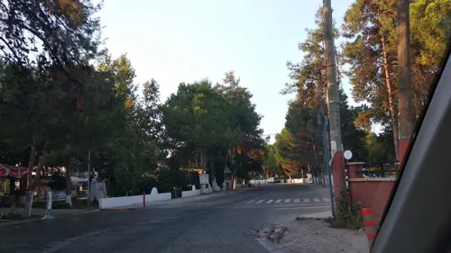

Denizköy Sahil Cafe
Cafe · 14.8 km
No:3 Denizköy Atatürk Caddesi, İzmir
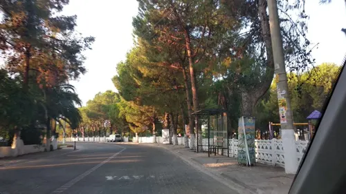

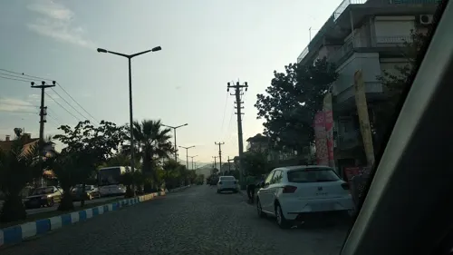
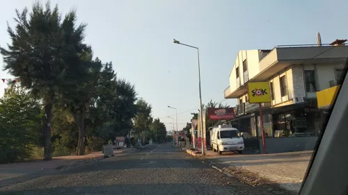


Vikont Coffee & Roastery Dikili
Cafe · 1.8 km
No : 59/B Uğur Mumcu Caddesi, İzmir

16 more on the map.
History
The ancient and as yet unexplored site of the ancient Greek city of Atarneus is located nearby. The site is called "Atarna" locally.
Dikili was under Greek military occupation from the 13th of June, 1919 to the 14th of September, 1922.
It was made into its own municipality on the 13th of October, 1928.
From the History section of Dikili on Wikipedia, under CC BY-SA 4.0.
Where to stay17
Churches and places of worship4
Shopping16
Gas and EV charging13
Schools, colleges and libraries3
Healthcare11
Map of Dikili
128 places. The map loads OpenStreetMap tiles when you open it.
Getting there and nearby towns
Balıkesir Koca Seyit Airport (EDO) is the nearest airport with scheduled flights listed in OpenStreetMap, 54 km away.
- Foça 46 km south, about 46 min by car
- Burhaniye 48 km north, about 48 min by car
- Menemen 54 km south, about 54 min by car
- Altınoluk 58 km north, about 58 min by car
- Edremit 60 km north, about 1 h by car
- Manisa 69 km southeast, about 1 h 15 min by car
- Karşıyaka 71 km south, about 1 h 15 min by car
- Bornova 72 km southeast, about 1 h 15 min by car
- İzmir 76 km south, about 1 h 15 min by car
- Konak 77 km south, about 1 h 15 min by car
Drive times are estimates from straight-line distance, not routes.
Local news
Headlines from INDB.
Reviews, tips and questions
Loading what members have shared...
Sources and licences
- GeoNames (CC BY 4.0): population, coordinates, regions and time zone
- Mapillary (see each image): photos
- OpenStreetMap contributors (ODbL 1.0): places, airports, map data
- Wikidata (CC0 1.0): elevation, founding date, time zone, website, landmarks and historic places
- Wikimedia Commons (see each image): photos
- Wikipedia (CC BY-SA 4.0): overview and history text
Photo credits
- Bademli, Dikili, Kadı, CC BY 4.0
- Atarna(Atarneus) Dikili Turkey, Mr. Erkmen Senan, http://erkmensenan.blogspot.com, CC BY-SA 3.0
- Tire Yahşi Bey Cami 5532, Dosseman, CC BY-SA 4.0
- Turkish Coast Guard Boat, UcuncuUlus, CC BY-SA 4.0
- ISS030-E-275005 - View of Earth, Earth Science and Remote Sensing Unit , Lyndon B. Johnson Space Center, Public domain
- ISS045-E-145177 - View of Earth, Earth Science and Remote Sensing Unit , Lyndon B. Johnson Space Center, Public domain
- ISS045-E-141313 - View of Earth, Earth Science and Remote Sensing Unit , Lyndon B. Johnson Space Center, Public domain
- ISS045-E-141314 - View of Earth, Earth Science and Remote Sensing Unit , Lyndon B. Johnson Space Center, Public domain
- ISS045-E-145178 - View of Earth, Earth Science and Remote Sensing Unit , Lyndon B. Johnson Space Center, Public domain
- ISS065-E-10198 - View of Earth, Earth Science and Remote Sensing Unit , Lyndon B. Johnson Space Center, Public domain
- Bademli Mahallesi Mosque 20250824, Kurmanbek, CC BY-SA 4.0
- Koruk şurubu, Kurmanbek, CC BY-SA 4.0
- ISS067-E-66811 - View of Earth, Earth Science and Remote Sensing Unit , Lyndon B. Johnson Space Center, Public domain
- ISS048-E-60816 - View of Earth, Earth Science and Remote Sensing Unit , Lyndon B. Johnson Space Center, Public domain
- Street-level photo, boracasli, CC BY-SA 4.0
- Street-level photo, boracasli, CC BY-SA 4.0
- Street-level photo, boracasli, CC BY-SA 4.0
- Street-level photo, boracasli, CC BY-SA 4.0
- Street-level photo, boracasli, CC BY-SA 4.0
- Street-level photo, boracasli, CC BY-SA 4.0
- Street-level photo, boracasli, CC BY-SA 4.0
- Street-level photo, boracasli, CC BY-SA 4.0
- Street-level photo, boracasli, CC BY-SA 4.0


Page built November 8, 2026. Spotted a mistake? Tell us or suggest a place.