
Why visit Gökpınar
Townapedia lists 1 museum or landmark in and around town.
Highlights include Akarassos.
Weather in Gökpınar
Forecast from MET Norway (CC BY 4.0). Full forecast
About Gökpınar
Gökpınar is a neighbourhood in the municipality and district of Elmalı, Antalya Province, Turkey. Its population is 1,177 (2022).
From the Wikipedia article Gökpınar, Elmalı (this version), under CC BY-SA 4.0.
Museums and landmarks1

Akarassos
Monument and historic site · 3.4 km
Ancient city in Asia Minor landscape Kabalia
Churches and places of worship1

Gas and EV charging2

Healthcare1

Map of Gökpınar
5 places. The map loads OpenStreetMap tiles when you open it.
Getting there and nearby towns
Antalya Airport (AYT) is the nearest airport with scheduled flights listed in OpenStreetMap, 77 km away.
- Elmalı 4 km southwest, about 4 min by car
- Düdenköy 9 km southwest, about 9 min by car
- Gölova 9 km northeast, about 9 min by car
- Hacıveliler 51 km southeast, about 51 min by car
- Tekirova 58 km southeast, about 58 min by car
- Antalya 68 km east, about 1 h 15 min by car
- Kaş 67 km southwest, about 1 h by car
- Kalkan 72 km southwest, about 1 h 15 min by car
- Muratpaşa 74 km east, about 1 h 15 min by car
- Fethiye 75 km west, about 1 h 15 min by car
Drive times are estimates from straight-line distance, not routes.
Local news
Headlines from INDB.
Reviews, tips and questions
Loading what members have shared...
Sources and licences
- GeoNames (CC BY 4.0): population, coordinates, regions and time zone
- Mapillary (see each image): photos
- OpenStreetMap contributors (ODbL 1.0): places, airports, map data
- Wikidata (CC0 1.0): elevation, founding date, time zone, website, landmarks and historic places
- Wikipedia (CC BY-SA 4.0): overview and history text
Photo credits
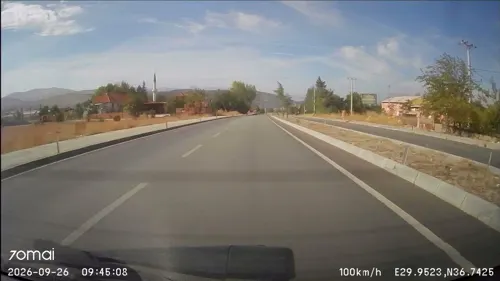
- Street-level photo, doriel, CC BY-SA 4.0
Page built November 8, 2026. Spotted a mistake? Tell us or suggest a place.