


Loading the weather...
Population3,925
GeoNames
RegionHatay
Elevation172 m
564 ft
Time zoneEurope/Istanbul
Nearest airportHatay Airport (HTY)
27 km
Why visit Gümüşgöze
Townapedia lists 1 museum or landmark, 1 park or trail, 10 places to eat, 3 places to stay and 1 attraction in and around town.
Weather in Gümüşgöze
Forecast from MET Norway (CC BY 4.0). Full forecast
Things to do1

Museums and landmarks1

Parks, trails and playgrounds1

Advertisement
Restaurants and cafes10
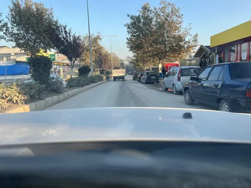
Oasis Garden
Cafe · Burger, Pizza, Chicken, Coffee Shop, Sandwich, Kebab, Ice Cream · 2.2 km
24 Harbiye Bulvarı, Hatay
24/7
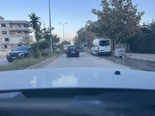

Mirioğlu Kasap Fırın Restaurant Yeşilpınar
Restaurant · Turkish · 1.5 km
2 Yeşilyurt Caddesi, Hatay


Where to stay3
Churches and places of worship2
Advertisement
Shopping2
Gas and EV charging2
Schools, colleges and libraries1
Advertisement
Healthcare23
Map of Gümüşgöze
46 places. The map loads OpenStreetMap tiles when you open it.
Getting there and nearby towns
Hatay Airport (HTY) is the nearest airport with scheduled flights listed in OpenStreetMap, 27 km away.
- Samankaya 0 km northwest, about 1 min by car
- Dursunlu 3 km northeast, about 3 min by car
- Antakya 7 km north, about 7 min by car
- Hıdırbey 7 km north, about 7 min by car
- Samandağ 16 km southwest, about 16 min by car
- Belen 38 km north, about 38 min by car
- Kırıkhan 44 km northeast, about 44 min by car
- İskenderun 49 km north, about 49 min by car
- Yumurtalık 76 km northwest, about 1 h 15 min by car
- Dörtyol 77 km north, about 1 h 15 min by car
Drive times are estimates from straight-line distance, not routes.
Local news
Headlines from INDB.
Reviews, tips and questions
Loading what members have shared...
Sources and licences
- GeoNames (CC BY 4.0): population, coordinates, regions and time zone
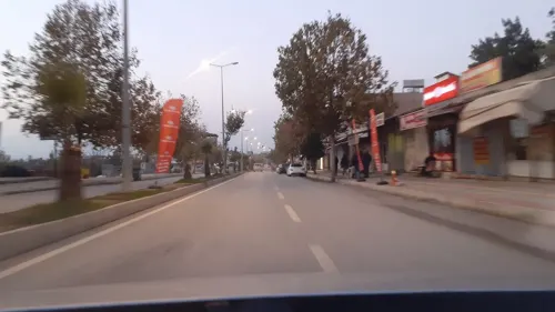
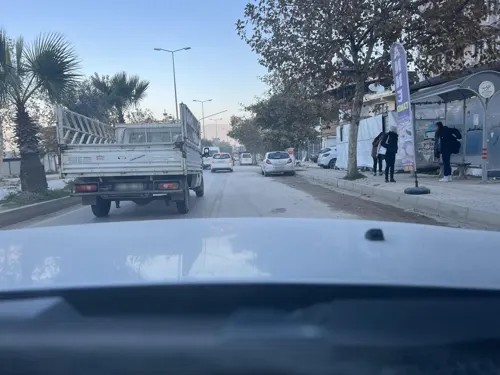
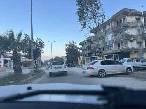
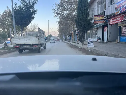
- Mapillary (see each image): photos
- OpenStreetMap contributors (ODbL 1.0): places, airports, map data
- Wikidata (CC0 1.0): elevation, founding date, time zone, website
- Wikimedia Commons (see each image): photos
Photo credits
- HARBİYE ŞELALE - panoramio, uğur baysan, CC BY-SA 3.0
- Harbiye water-falls - panoramio (2), Ahmet KAYNARPUNAR, CC BY-SA 3.0
- Harbiye water-falls - panoramio, Ahmet KAYNARPUNAR, CC BY-SA 3.0
- Harbiye water-falls - panoramio (3), Ahmet KAYNARPUNAR, CC BY-SA 3.0
- Harbiye water-falls - panoramio (1), Ahmet KAYNARPUNAR, CC BY-SA 3.0
- Bozlu-Antakya-Hatay, Turkey - panoramio (3), Ben Bender, CC BY-SA 3.0
- Bozlu-Antakya-Hatay, Turkey - panoramio, Ben Bender, CC BY-SA 3.0
- Bozlu-Antakya-Hatay, Turkey - panoramio (1), Ben Bender, CC BY-SA 3.0
- Harbiye waterfalls - panoramio, Ahmet KAYNARPUNAR, CC BY-SA 3.0
- Bozlu-Antakya-Hatay, Turkey - panoramio (6), Ben Bender, CC BY-SA 3.0
- Bozlu-Antakya-Hatay, Turkey - panoramio (4), Ben Bender, CC BY-SA 3.0
- Bozlu-Antakya-Hatay, Turkey - panoramio (2), Ben Bender, CC BY-SA 3.0
- Bozlu-Antakya-Hatay, Turkey - panoramio (5), Ben Bender, CC BY-SA 3.0
- Harbiye waterfalls 1 - panoramio, Ahmet KAYNARPUNAR, CC BY-SA 3.0
- Harbiye waterfalls 2 - panoramio, Ahmet KAYNARPUNAR, CC BY-SA 3.0
- Harbiye waterfalls last - panoramio, Ahmet KAYNARPUNAR, CC BY-SA 3.0
- Antakya - panoramio (2), greeeen2008, CC BY 3.0
- Harbiye waterfalls 0 - panoramio, Ahmet KAYNARPUNAR, CC BY-SA 3.0
- Street-level photo, Beritank, CC BY-SA 4.0
- Street-level photo, Beritank, CC BY-SA 4.0
- Street-level photo, ahmettsafaa, CC BY-SA 4.0
- Street-level photo, Beritank, CC BY-SA 4.0
- Street-level photo, ahmettsafaa, CC BY-SA 4.0
- Street-level photo, Beritank, CC BY-SA 4.0
- Street-level photo, Beritank, CC BY-SA 4.0
- Street-level photo, Beritank, CC BY-SA 4.0
- Street-level photo, Beritank, CC BY-SA 4.0
- Street-level photo, Beritank, CC BY-SA 4.0
- Street-level photo, Beritank, CC BY-SA 4.0


Page built November 8, 2026. Spotted a mistake? Tell us or suggest a place.