


Why visit Ilgaz
Townapedia lists 2 museums and landmarks, 2 places to eat and 2 places to stay in and around town.
Highlights include Candara and Salman Höyük.
Weather in Ilgaz
Forecast from MET Norway (CC BY 4.0). Full forecast
About Ilgaz
Ilgaz (Turkish pronunciation: [ɯɫˈɡaz]), formerly Koçhisar, is a town in Çankırı Province in the Central Anatolia region of Turkey. It is the seat of Ilgaz District. Its population is 7,825 (2021). It lies at the southern foot of the Ilgaz Mountains, that extend between Çankırı and Kastamonu provinces.
From the Wikipedia article Ilgaz (this version), under CC BY-SA 4.0.
Museums and landmarks2

Candara
Monument and historic site · 2.1 km
Ancient city of Paphlagonia in modern-day Turkey
Restaurants and cafes2

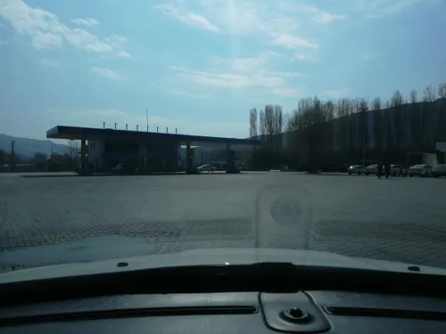
Where to stay2

Gas and EV charging4
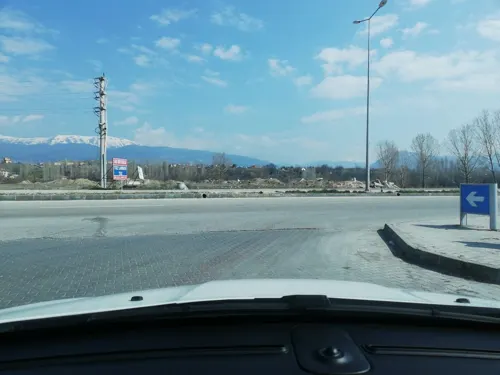

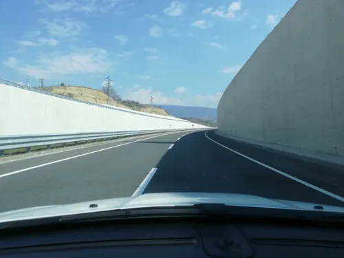


Schools, colleges and libraries1
Ilgaz Emel - Oktay Türkoğlu Mesleki ve Teknik Anadolu Lisesi
School · 1.7 km
103 Hafız Ahmet Efendi Caddesi, Çankırı
Healthcare5
Map of Ilgaz
16 places. The map loads OpenStreetMap tiles when you open it.
Getting there and nearby towns
Kastamonu Airport (KFS) is the nearest airport with scheduled flights listed in OpenStreetMap, 46 km away.
- Yapraklı 23 km southeast, about 23 min by car
- Korgun 23 km southwest, about 23 min by car
- Kurşunlu 32 km west, about 32 min by car
- İhsangazi 32 km north, about 32 min by car
- Çankırı 36 km south, about 36 min by car
- Tosya 36 km east, about 36 min by car
- Kastamonu 52 km north, about 52 min by car
- İskilip 74 km east, about 1 h 15 min by car
- Safranbolu 86 km northwest, about 1 h 30 min by car
- Karabük 89 km west, about 1 h 30 min by car
Drive times are estimates from straight-line distance, not routes.
Local news
Headlines from INDB.
Reviews, tips and questions
Loading what members have shared...
Sources and licences
- GeoNames (CC BY 4.0): population, coordinates, regions and time zone
- Mapillary (see each image): photos
- OpenStreetMap contributors (ODbL 1.0): places, airports, map data
- Wikidata (CC0 1.0): elevation, founding date, time zone, website, landmarks and historic places
- Wikimedia Commons (see each image): photos
- Wikipedia (CC BY-SA 4.0): overview and history text
Photo credits
- HilmiAyhanPoppyFieldsMountIlgazCankiriTurkey, Hilmi Ayhan, CC BY 2.5
- 18400 Ilgaz-Çankırı, Turkey - panoramio, ilhan turun, CC BY 3.0
- Street-level photo, sefaonur, CC BY-SA 4.0
- Street-level photo, sefaonur, CC BY-SA 4.0
- Street-level photo, sefaonur, CC BY-SA 4.0
Page built November 8, 2026. Spotted a mistake? Tell us or suggest a place.