


Why visit Karacabey
Townapedia lists 2 museums and landmarks, 5 parks and trails, 6 places to eat and 3 places to stay in and around town.
Highlights include Miletopolis.
Weather in Karacabey
Forecast from MET Norway (CC BY 4.0). Full forecast
About Karacabey
Karacabey is a municipality and district of Bursa Province, Turkey. Its area is 1,158 km2, and its population is 84,907 (2022). It is located just west of the Simav River near its confluence with the Adirnaz River. The district of Karacabey borders the districts of Mudanya and Nilüfer from east, Mustafakemalpaşa and Susurluk from south, Manyas from southwest and Bandırma from west.
From the Wikipedia article Karacabey (this version), under CC BY-SA 4.0.
Museums and landmarks2

Miletopolis
Monument and historic site
Ancient city of Mysia in modern-day Turkey

Parks, trails and playgrounds5




Restaurants and cafes6



Where to stay3

History
The town is named after a local Turkish chieftain during the Ottoman era named Karaca Bey. The former name of the town was Mihalich (Turkish: Mihaliç), after which a cheese was named, while its ancient name was Miletopolis (Greek: Μιλητόπολις). Miletopolis was apparently the chief settlement of a group of people called the Milatæ, whose name was hellenized to suggest a Milesian colony. Its people colonized Gargara.
Miletopolis was a suffragan of Cyzicus until the 12th or 13th century. Around the end of the twelfth century, it was united with Lopadium as an archbishopric. There are two historical mosques in Karacabey, one being from the 14th century.
From 1867 until 1922, Mihaliç was part of Hüdavendigâr vilayet.
From the History section of Karacabey on Wikipedia, under CC BY-SA 4.0.
Churches and places of worship15
Shopping7
Gas and EV charging7
Schools, colleges and libraries16
Uludağ Üniversitesi Karacabey Yerleşkesi
School · 1.4 km
6 225 Sk., Karacabey/Bursa
Healthcare30
Map of Karacabey
91 places. The map loads OpenStreetMap tiles when you open it.
Getting there and nearby towns
6. Ana Jet Üs Komutanlığı (BDM) is the nearest airport with scheduled flights listed in OpenStreetMap, 35 km away.
- Ormankadı 11 km southeast, about 11 min by car
- Kumkadı 11 km southeast, about 11 min by car
- Subaşı 16 km east, about 16 min by car
- Mustafakemalpaşa 20 km south, about 20 min by car
- Susurluk 38 km southwest, about 38 min by car
- Nilüfer 47 km east, about 47 min by car
- Mudanya 48 km east, about 48 min by car
- Bursa 59 km east, about 59 min by car
- Balıkesir 75 km southwest, about 1 h 15 min by car
- Beylikdüzü 89 km north, about 1 h 30 min by car
Drive times are estimates from straight-line distance, not routes.
Local news
Headlines from INDB.
Reviews, tips and questions
Loading what members have shared...
Sources and licences
- GeoNames (CC BY 4.0): population, coordinates, regions and time zone
- Mapillary (see each image): photos
- OpenStreetMap contributors (ODbL 1.0): places, airports, map data
- Wikidata (CC0 1.0): elevation, founding date, time zone, website, landmarks and historic places
- Wikimedia Commons (see each image): photos
- Wikipedia (CC BY-SA 4.0): overview and history text
Photo credits
- Karacabey Meydanı, Kızıldeniz, CC BY-SA 4.0
- Miletopolis Jewellery, Jononmac46, CC BY-SA 4.0
- Oscar Tarım, OscarTarim, CC BY-SA 4.0
- Sehir girişi - panoramio, sadanorg, CC BY 3.0
- Öğretmen evi - panoramio, sadanorg, CC BY 3.0
- Okul - panoramio, sadanorg, CC BY 3.0
- Panoramik - panoramio, sadanorg, CC BY 3.0
- Garaj - panoramio, sadanorg, CC BY 3.0
- Hastane - panoramio, sadanorg, CC BY 3.0
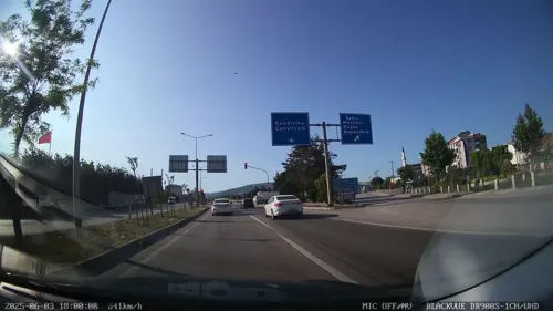
- Street-level photo, Zafer, CC BY-SA 4.0
- Street-level photo, Zafer, CC BY-SA 4.0
- Street-level photo, Zafer, CC BY-SA 4.0
- Street-level photo, Zafer, CC BY-SA 4.0
- Street-level photo, Zafer, CC BY-SA 4.0
- Street-level photo, 58zarali, CC BY-SA 4.0


Page built November 8, 2026. Spotted a mistake? Tell us or suggest a place.