
Weather in Kindirip
Forecast from MET Norway (CC BY 4.0). Full forecast
About Kindirip
Söğütlü (Arabic: کندیریب, romanized: Kəndērīb; Syriac: ܟܢܕܝܪܝܒ, romanized: Kandirib) is a neighbourhood of the municipality and district of Midyat, Mardin Province, Turkey. Its population is 2,208 (2022). Before the 2013 reorganisation, it was a town (belde). The village is populated by Kurds of the Kercoz and Omerkan tribes and by the Mhallami.
From the Wikipedia article Söğütlü, Midyat (this version), under CC BY-SA 4.0.
Churches and places of worship5


Gas and EV charging1

History
Kandirib (today called Söğütlü) was historically inhabited by Syriac Christians. The calligrapher Daniel of Kandirib is mentioned in the Life of Mar Simeon of the Olives (d. 734). In c. 1583, the Christian population of Bēth Muḥallam, including the village of Kandirib, converted to Islam to escape persecution. From the 1910s onwards, many Mhallamis from the village migrated to Lebanon for economic reasons, while some Mhallami and Kurdish families settled in the village afterwards. The Kurdish families came from Kerboran and neighbouring villages.
From the History section of Söğütlü, Midyat on Wikipedia, under CC BY-SA 4.0.
Map of Kindirip
6 places. The map loads OpenStreetMap tiles when you open it.
Getting there and nearby towns
14. İnsansız Uçak Sistemleri Üs Komutanlığı Askeri Havaalanı (BAL) is the nearest airport with scheduled flights listed in OpenStreetMap, 54 km away.
- Şenköy 3 km northwest, about 3 min by car
- Gelinkaya 5 km southeast, about 5 min by car
- Çavuşlu 7 km northeast, about 7 min by car
- Midyat 11 km east, about 11 min by car
- Nusaybin 42 km south, about 42 min by car
- Mardin 45 km west, about 45 min by car
- Batman 50 km north, about 50 min by car
- Kızıltepe 64 km southwest, about 1 h by car
- Siirt 83 km northeast, about 1 h 30 min by car
- Cizre 86 km east, about 1 h 30 min by car
Drive times are estimates from straight-line distance, not routes.
Local news
Headlines from INDB.
Reviews, tips and questions
Loading what members have shared...
Sources and licences
- GeoNames (CC BY 4.0): population, coordinates, regions and time zone
- Mapillary (see each image): photos
- OpenStreetMap contributors (ODbL 1.0): places, airports, map data
- Wikidata (CC0 1.0): elevation, founding date, time zone, website
- Wikipedia (CC BY-SA 4.0): overview and history text
Photo credits
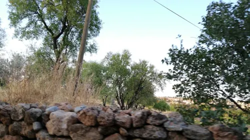
- Street-level photo, aygur, CC BY-SA 4.0
- Street-level photo, aygur, CC BY-SA 4.0
Page built November 8, 2026. Spotted a mistake? Tell us or suggest a place.