


Why visit Kızkalesi
Townapedia lists 18 museums and landmarks, 4 places to eat and 15 places to stay in and around town.
Highlights include Kızkalesi and Adamkayalar.
Weather in Kızkalesi
Forecast from MET Norway (CC BY 4.0). Full forecast
About Kızkalesi
Kızkalesi (English: Maiden's castle) is a neighbourhood in the municipality and district of Erdemli, Mersin Province, Turkey. Its population is 1,781 (2022). Before the 2013 reorganisation, it was a town (belde). The town, known in Antiquity as Corycus or Korykos (Greek: Κώρυκος), is named after the ancient castle built on a small island just facing the town.
From the Wikipedia article Kızkalesi (this version), under CC BY-SA 4.0.
Museums and landmarks18


Adamkayalar
Monument and historic site · 3.0 km
Roman archaeological site in Turkey

Arima
Monument and historic site · 3.4 km
Ancient city of Cilicia in modern-day Turkey

Cennet and Cehennem
Monument and historic site · 3.4 km
Two sinkholes in Mersin Province; Turkey

Corycus
Monument and historic site · 1.2 km
Archeological site in Turkey

Elaiussa Sebaste
Monument and historic site · 3.7 km
Human settlement


Tower of Gömeç
Monument and historic site · 3.2 km
Ancient tower in Turkey
6 more on the map.
Restaurants and cafes4

Chaplin Cafe & Restoran
Restaurant · Pizza, Coffee Shop, Burger, Fish, Tea, Kebab, Breakfast
70A sahilyolu caddesi, MERSİN

Where to stay15

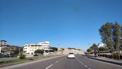
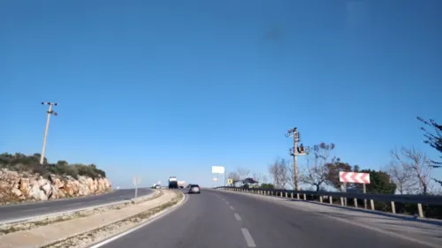
3 more on the map.
Churches and places of worship2

Hasanaliler Church
Church · 5.0 km
Church building in Silifke, Mersin Province, Turkey
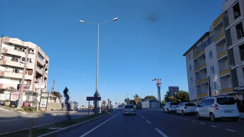


Shopping4
Map of Kızkalesi
43 places. The map loads OpenStreetMap tiles when you open it.
Getting there and nearby towns
Çukurova International Airport (COV) is the nearest airport with scheduled flights listed in OpenStreetMap, 95 km away.
- Ayaş 4 km northeast, about 4 min by car
- Limonlu 15 km northeast, about 15 min by car
- Silifke 21 km southwest, about 21 min by car
- Erdemli 22 km northeast, about 22 min by car
- Tosmurlu 23 km west, about 23 min by car
- Arpaçbahşiş 28 km northeast, about 28 min by car
- Tece 38 km northeast, about 38 min by car
- Mersin 59 km northeast, about 59 min by car
- Aydıncık 82 km southwest, about 1 h 15 min by car
- Tarsus 84 km northeast, about 1 h 30 min by car
Drive times are estimates from straight-line distance, not routes.
Local news
Headlines from INDB.
Reviews, tips and questions
Loading what members have shared...
Sources and licences
- GeoNames (CC BY 4.0): population, coordinates, regions and time zone
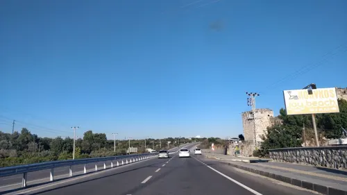
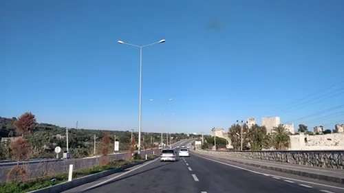
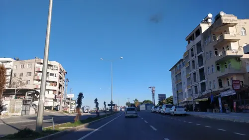
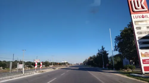
- Mapillary (see each image): photos
- OpenStreetMap contributors (ODbL 1.0): places, airports, map data
- Wikidata (CC0 1.0): elevation, founding date, time zone, website, landmarks and historic places
- Wikimedia Commons (see each image): photos
- Wikipedia (CC BY-SA 4.0): overview and history text
Photo credits
- Kizkalesi, Erdemli.IMG 3491, YG01, CC BY 4.0
- Kızkalesi off season view 1080, Dosseman, CC BY-SA 4.0
- Kızkalesi off season view 1081, Dosseman, CC BY-SA 4.0
- Kızkalesi off season view 1082, Dosseman, CC BY-SA 4.0
- Kızkalesi - Korykos 02, Zeynel Cebeci, CC BY-SA 4.0
- Kızkalesi off season view Sea Castle1083, Dosseman, CC BY-SA 4.0
- Kızkalesi off season view 1084, Dosseman, CC BY-SA 4.0
- Kızkalesi off season view in 2015, Dosseman, CC BY-SA 4.0
- Kızkalesi off season view 1085, Dosseman, CC BY-SA 4.0
- Kızkalesi and Kızkalesi Beach, Erdemli, Mersin, YG01, CC BY 4.0
- Kızkalesi and Kızkalesi Beach, Erdemli, Mersin (cropped), YG01, CC BY 4.0
- Kızkalesi off season view 1087, Dosseman, CC BY-SA 4.0
- Kızkalesi off season view 1093, Dosseman, CC BY-SA 4.0
- Kızkalesi off season view 1086, Dosseman, CC BY-SA 4.0
- Kızkalesi off season view 1088, Dosseman, CC BY-SA 4.0
- Kızkalesi 2025-06-15, Seyfettin33, CC BY-SA 4.0
- Kızkalesi - Korykos 05, Zeynel Cebeci, CC BY-SA 4.0
- Kızkalesi off season view 1089, Dosseman, CC BY-SA 4.0
- Kızkalesi off season view 1090, Dosseman, CC BY-SA 4.0
- Kızkalesi off season view 1091, Dosseman, CC BY-SA 4.0
- Kızkalesi off season view 1092, Dosseman, CC BY-SA 4.0
- Kızkalesi to Ayas inland walk - Necropolis I soldier relief 1195, Dosseman, CC BY-SA 4.0
- Kızkalesi to Ayas inland walk - Necropolis I soldier relief 1194, Dosseman, CC BY-SA 4.0
- Korykos - Kızkalesi 01 (cropped), Zeynel Cebeci, CC BY-SA 4.0
- Adamkayalar1, Klaus-Peter Simon, CC BY 3.0
- 023 Cennetobrugu.07.2006 resize, Gothika, CC BY-SA 3.0
- Elaiussa Sebaste, Cilicia, Turkey (39344774672), Carole Raddato from FRANKFURT, Germany, CC BY-SA 2.0
- Narlıkuyu Mozaik Müzesi, Cobija, CC BY-SA 4.0
- Paşa Türbesi, Nedim Ardoğa, CC BY-SA 3.0
- Gömec1, Klaus-Peter Simon, CC BY-SA 3.0
- Hasanaliler1, Klaus-Peter Simon, CC BY-SA 3.0
- Fortressarmenians5, The original uploader was Artaxiad at English Wikipedia ., CC BY-SA 3.0
- Korykos Land Castle 6961, Dosseman, CC BY-SA 4.0
- Kizkalesi, Erdemli.IMG 3440, YG01, CC BY 4.0
- Korykos land castle view from west 6944, Dosseman, CC BY-SA 4.0
- قلعة الفتاة, Navar Mecbur, CC BY-SA 4.0
- Kizkalesi, Erdemli.IMG 3490, YG01, CC BY 4.0
- Kizkalesi, Erdemli.IMG 3493, YG01, CC BY 4.0
- Turabi Çamkıran, Mehmet Çamkıran, CC BY 3.0
- Turabi Çamkıran (cropped), Mehmet Çamkıran, CC BY 3.0
- Street-level photo, kasar, CC BY-SA 4.0
- Street-level photo, kasar, CC BY-SA 4.0
- Street-level photo, kasar, CC BY-SA 4.0
- Street-level photo, kasar, CC BY-SA 4.0
- Street-level photo, kasar, CC BY-SA 4.0
- Street-level photo, kasar, CC BY-SA 4.0
- Street-level photo, kasar, CC BY-SA 4.0
- Street-level photo, kasar, CC BY-SA 4.0
- Street-level photo, kasar, CC BY-SA 4.0


Page built November 8, 2026. Spotted a mistake? Tell us or suggest a place.