


Why visit Kurttepe
Townapedia lists 2 museums and landmarks, 58 parks and trails, 60 places to eat, 2 places to stay and 1 attraction in and around town.
Highlights include Çatalan Bridge, Mustafa Kemal Atatürk, Gaziler Parkı and Şehit Piyade Er Muhammet Osman Akagündüz Çocuk ve Dinlenme Parkı.
Weather in Kurttepe
Forecast from MET Norway (CC BY 4.0). Full forecast
About Kurttepe
Kurttepe is a neighbourhood in the municipality and district of Çukurova, Adana Province, Turkey. Its population is 6,978 (2022). Before 2008, it was part of the district of Seyhan. The neighborhood is located at north end of the city, at the shores of Seyhan Lake.
From the Wikipedia article Kurttepe (this version), under CC BY-SA 4.0.
Things to do1
Museums and landmarks2


Parks, trails and playgrounds58


Çukurova Belediyesi Su Parkı
Sports field and stadium · 1.8 km
"Yaz aylarında, öğlen saatlerinde."
46 more on the map.
Restaurants and cafes60
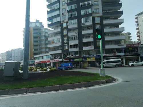
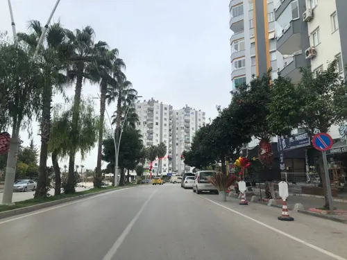
Lagos Balık Restaurant
Restaurant · Seafood, Fish · 1.8 km
4/A Süleyman Demirel Bulvarı, Adana
Mo-Su 11:00-01:30
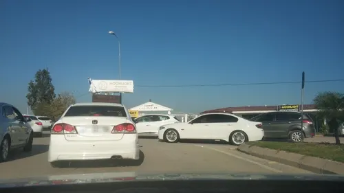
Hugo'ss Cafe Restaurant
Restaurant · Burger, Grill, Friture, Breakfast, Fish And Chips, Fish, Pasta, Tea, Coffee Shop, Turkish, Curry, Pancake, Chicken, Sausage, Steak House, Sandwich, Seafood, Mediterranean, Hot Dog, Kebab, Ice Cream · 1.7 km
24/7

Tadım Cafe
Restaurant · Doner · 2.0 km
22 84206 Sokak, Adana
Mo-Sa 09:00-20:00
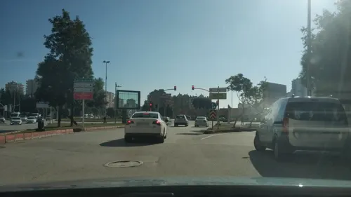
Master Hasan Kebap
Restaurant · Turkish · 0.8 km
Mo-Sa 08:00-3:00
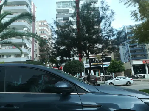
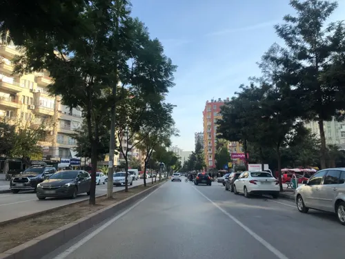
Sultan Simit Dünyası
Bakery · 2.3 km
95 Şehitler Bulvarı, Adana
24/7
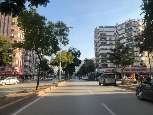
Mersin Et Tantuni
Restaurant · Turkish · 2.5 km
87 Şehitler Bulvarı, Adana
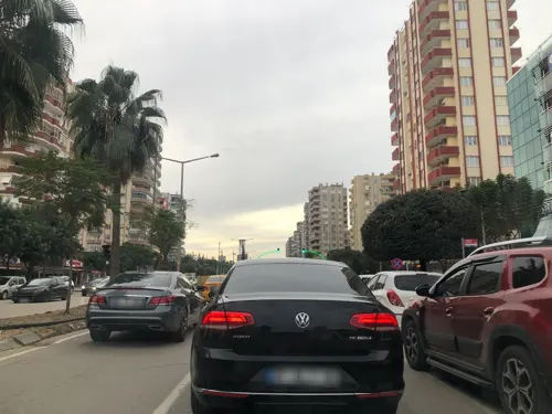
65A Yağlar Kasap/Lokanta
Restaurant · Turkish, Kebab · 2.1 km
65A Ali Sepici Caddesi, Adana


48 more on the map.
Where to stay2
Adana Öğretmen Evi
Motel and hotel · 1.8 km
2 205 Süleyman Demirel Bulvarı, Adana
Churches and places of worship24
Shopping51
Gas and EV charging8
Schools, colleges and libraries31
Kurttepe Şehit Ali Öztaş Mesleki ve Teknik Anadolu Lisesi
School · 0.8 km
1 Türkmenbaşı Bulvarı, Adana
İbrahim Atalı Ticaret Mesleki ve Teknik Anadolu Lisesi
School
2 Mustafa Sağyaşar Caddesi, Adana
Healthcare109
Dr Zeki Otan DALYAN Estetik & Lazer Klinik
Clinic and pharmacy · 1.7 km
128 Turgut Özal Bulvarı, Güzelyalı Mahallesi
Map of Kurttepe
250 places. The map loads OpenStreetMap tiles when you open it.
Getting there and nearby towns
Adana Şakirpaşa Havalimanı (ADA) is the nearest airport with scheduled flights listed in OpenStreetMap, 8 km away.
- Kireçocağı 4 km west, about 4 min by car
- Adana 9 km southeast, about 9 min by car
- Bolatlı 35 km west, about 35 min by car
- Tarsus 37 km southwest, about 37 min by car
- Ceyhan 48 km east, about 48 min by car
- Pozantı 55 km northwest, about 55 min by car
- Yumurtalık 56 km southeast, about 56 min by car
- Mersin 63 km southwest, about 1 h by car
- Kozan 65 km northeast, about 1 h by car
- Kadirli 81 km northeast, about 1 h 15 min by car
Drive times are estimates from straight-line distance, not routes.
Local news
Headlines from INDB.
Reviews, tips and questions
Loading what members have shared...
Sources and licences
- GeoNames (CC BY 4.0): population, coordinates, regions and time zone
- Mapillary (see each image): photos
- OpenStreetMap contributors (ODbL 1.0): places, airports, map data
- Wikidata (CC0 1.0): elevation, founding date, time zone, website, landmarks and historic places
- Wikimedia Commons (see each image): photos
- Wikipedia (CC BY-SA 4.0): overview and history text
Photo credits
- Adana1, Anatolianpride, Public domain
- Adana Seyhan Barajı - panoramio, reyhan_kahraman@hotm…, CC BY 3.0
- Ramazanoğlu Cami 03, Viktor Lazić, CC BY-SA 4.0
- Çatalan Bridge Adana 2010-12-02, [email protected]…, CC BY 3.0
- 1 - panoramio (3), [email protected]…, CC BY 3.0
- Huzurevleri Kapali Semt Pazari and around (Earthquake) 03, Viktor Lazić, CC BY-SA 4.0
- Huzurevleri Kapali Semt Pazari and around (Earthquake) 04, Viktor Lazić, CC BY-SA 4.0
- 15 Temmuz Şehidi Halil Kantarcı, Fatih Renkligil, CC0
- Efe Oktay Akay Muay Thai Match A, Efos02, CC BY-SA 4.0
- Huzurevleri Kapali Semt Pazari and around (Earthquake) 01, Viktor Lazić, CC BY-SA 4.0
- Huzurevleri Kapali Semt Pazari and around (Earthquake) 02, Viktor Lazić, CC BY-SA 4.0
- Huzurevleri Kapali Semt Pazari and around (Earthquake) 06, Viktor Lazić, CC BY-SA 4.0
- Huzurevleri Kapali Semt Pazari and around (Earthquake) 07, Viktor Lazić, CC BY-SA 4.0
- Huzurevleri Kapali Semt Pazari and around (Earthquake) 05, Viktor Lazić, CC BY-SA 4.0
- 1 - panoramio (4), [email protected]…, CC BY 3.0
- TURKEY - panoramio (11), [email protected]…, CC BY 3.0
- Ramazanoğlu Cami 02, Viktor Lazić, CC BY-SA 4.0
- Ramazanoğlu Cami 04, Viktor Lazić, CC BY-SA 4.0
- Ramazanoğlu Cami 18, Viktor Lazić, CC BY-SA 4.0
- Ramazanoğlu Cami 08, Viktor Lazić, CC BY-SA 4.0
- Ramazanoğlu Cami 06, Viktor Lazić, CC BY-SA 4.0
- Ramazanoğlu Cami 05, Viktor Lazić, CC BY-SA 4.0
- Ramazanoğlu Cami 07, Viktor Lazić, CC BY-SA 4.0
- Ramazanoğlu Cami 01, Viktor Lazić, CC BY-SA 4.0
- Ramazanoğlu Cami 09, Viktor Lazić, CC BY-SA 4.0
- Ramazanoğlu Cami 10, Viktor Lazić, CC BY-SA 4.0
- Ramazanoğlu Cami 13, Viktor Lazić, CC BY-SA 4.0
- Ramazanoğlu Cami 12, Viktor Lazić, CC BY-SA 4.0
- Ramazanoğlu Cami 11, Viktor Lazić, CC BY-SA 4.0
- Ramazanoğlu Cami 14, Viktor Lazić, CC BY-SA 4.0
- Adana, Reşatbey Mh., Seyhan-Adana, Turkey - panoramio (45), hakan kozan, CC BY 3.0
- Ramazanoğlu Cami 17, Viktor Lazić, CC BY-SA 4.0
- Ramazanoğlu Cami 15, Viktor Lazić, CC BY-SA 4.0
- Ramazanoğlu Cami 16, Viktor Lazić, CC BY-SA 4.0
- Adana - panoramio, reyhan_kahraman@hotm…, CC BY 3.0
- Evening at Seyhan Dam, Adana 12, Zeynel Cebeci, CC BY-SA 4.0
- A vandalised playground equipment in Adana, Fatih Renkligil, CC BY-SA 4.0
- Çukurova Belediyesi 04, Kzie45, CC0
- Çukurova Belediyesi 03, Kzie45, CC0
- Çukurova Belediyesi 01, Kzie45, CC0
- Street-level photo, kerim10, CC BY-SA 4.0
- Street-level photo, samil, CC BY-SA 4.0
- Street-level photo, kdrsrsln, CC BY-SA 4.0
- Street-level photo, kdrsrsln, CC BY-SA 4.0
- Street-level photo, samil, CC BY-SA 4.0
- Street-level photo, csariaslan, CC BY-SA 4.0
- Street-level photo, kerim10, CC BY-SA 4.0
- Street-level photo, kerim10, CC BY-SA 4.0
- Street-level photo, kerim10, CC BY-SA 4.0
- Street-level photo, samil, CC BY-SA 4.0
- Street-level photo, kerim10, CC BY-SA 4.0
- Street-level photo, samil, CC BY-SA 4.0
- Street-level photo, samil, CC BY-SA 4.0
- Street-level photo, kerim10, CC BY-SA 4.0
- Street-level photo, kerim10, CC BY-SA 4.0
- Street-level photo, samil, CC BY-SA 4.0
- Street-level photo, samil, CC BY-SA 4.0
- Street-level photo, gozde, CC BY-SA 4.0
- Street-level photo, samil, CC BY-SA 4.0
- Street-level photo, samil, CC BY-SA 4.0
- Street-level photo, samil, CC BY-SA 4.0
- Street-level photo, kerim10, CC BY-SA 4.0


Page built November 8, 2026. Spotted a mistake? Tell us or suggest a place.