


Why visit Mudurnu
Townapedia lists 2 places to eat in and around town.
Weather in Mudurnu
Forecast from MET Norway (CC BY 4.0). Full forecast
About Mudurnu
Mudurnu is a small town in Bolu Province in the Black Sea region of Turkey, 52 km south-west of the city of Bolu. It is the seat of Mudurnu District. Its population is 5,379 (2021). The mayor is Necdet Türker (MHP), elected in 2019.
From the Wikipedia article Mudurnu (this version), under CC BY-SA 4.0.
Restaurants and cafes2


Churches and places of worship4


Shopping4

Gas and EV charging3



History
The town has a long history and the name Mudurnu comes from the Byzantine princess Modrene (Μωδρηνή in Byzantine Greek), and the ruins of the Byzantine castle can still be seen above the town. In the 8th century AD, the forces of the Byzantine usurper Artabasdos, commanded by his son Niketas, were defeated at or near this location by the army of the legitimate emperor Constantine V, before being defeated again at Chrysopolis, the same location where Constantine the Great defeated his Eastern rival Licinius.
In the late 19th and early 20th century, Mudurnu was part of the Kastamonu Vilayet of the Ottoman Empire.
This is an attractive district of forest and mountain. Mudurnu itself is a historical town with a number of well-preserved Ottoman Empire period houses. A portion of the centre of town has been declared an Historic Preservation District ("Kentsel Sit Alanı").
In 1920, during the Nationalists' push to gain control over the country, İbrahim Çolak with the Kuva-yi Milliye besieged forces loyal to the Porte for three days, May 13 to 15, before taking the town.
From the History section of Mudurnu on Wikipedia, under CC BY-SA 4.0.
Healthcare4
Map of Mudurnu
17 places. The map loads OpenStreetMap tiles when you open it.
Getting there and nearby towns
1. Ana Jet Üs Komutanlığı (ESK) is the nearest airport with scheduled flights listed in OpenStreetMap, 93 km away.
- Düzce 41 km north, about 41 min by car
- Bolu 45 km northeast, about 45 min by car
- Akçakoca 69 km north, about 1 h 15 min by car
- Beypazarı 69 km southeast, about 1 h 15 min by car
- Kocaali 71 km northwest, about 1 h 15 min by car
- Adapazarı 76 km northwest, about 1 h 15 min by car
- Geyve 77 km west, about 1 h 15 min by car
- Ferizli 80 km northwest, about 1 h 15 min by car
- Karasu 82 km northwest, about 1 h 15 min by car
- Sapanca 83 km west, about 1 h 30 min by car
Drive times are estimates from straight-line distance, not routes.
Local news
Headlines from INDB.
Reviews, tips and questions
Loading what members have shared...
Sources and licences
- GeoNames (CC BY 4.0): population, coordinates, regions and time zone
- Mapillary (see each image): photos
- OpenStreetMap contributors (ODbL 1.0): places, airports, map data
- Wikidata (CC0 1.0): elevation, founding date, time zone, website
- Wikimedia Commons (see each image): photos
- Wikipedia (CC BY-SA 4.0): overview and history text
Photo credits
- Mudurnu june 2019 2825 panorama, Dosseman, CC BY-SA 4.0
- Mudurnu Yildirim Beyazid Mosque in 2019 2865, Dosseman, CC BY-SA 4.0
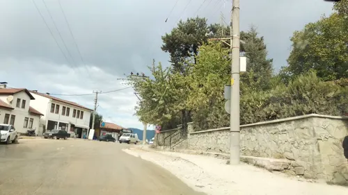
- Street-level photo, boracasli, CC BY-SA 4.0
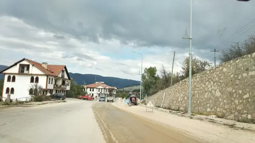
- Street-level photo, boracasli, CC BY-SA 4.0
- Street-level photo, boracasli, CC BY-SA 4.0
Page built November 8, 2026. Spotted a mistake? Tell us or suggest a place.