


Why visit Yenişakran
Townapedia lists 2 museums and landmarks, 8 places to eat, 2 places to stay and 2 attractions in and around town.
Highlights include Achaion Limen and Gryneion.
Weather in Yenişakran
Forecast from MET Norway (CC BY 4.0). Full forecast
About Yenişakran
Yenişakran is a neighbourhood in the municipality and district of Aliağa, İzmir Province, Turkey. Its population is 5,766 (2022). Before the 2013 reorganisation, it was a town (belde). It is situated at a bay of the Aegean Sea.
From the Wikipedia article Yenişakran (this version), under CC BY-SA 4.0.
Things to do2

Museums and landmarks2

Achaion Limen
Monument and historic site · 3.9 km
Port town of ancient Aeolis

Gryneion
Monument and historic site · 1.3 km
Ancient Greek settlement in Turkey
Restaurants and cafes8



Where to stay2


History
Although Yenişakran is founded only recently the vicinity of the town is rich in historical ruins. There are at least three sites of ancient settlements to the south of yenişakran, Ancient Kyme is in Aliağa. Another site Myrina which was founded by Tezeus in the 11th century BC is to on the way connecting Yenişakran to Aliağa and Gryneion is just at the south of Yenişakran. The ruins to the north of the town may even be more ancient. At the north of the town there are ruins which were believed to belong to Elaia.The famous Pergamon is in Bergama about 30 kilometres (19 mi) north of Yenişakran. However, in contrast to historical ruins Yenişakran is relatively a recent town. The very first settlement began in 1949 and Yenişakran gained the status of village in 1955. After the rapid growth in population in 1982 Yenişakran was declared a township.
From the History section of Yenişakran on Wikipedia, under CC BY-SA 4.0.
Churches and places of worship2
Shopping1
Gas and EV charging3
Map of Yenişakran
20 places. The map loads OpenStreetMap tiles when you open it.
Getting there and nearby towns
Çiğli 2. Ana Jet Üssü (IGL) is the nearest airport with scheduled flights listed in OpenStreetMap, 42 km away.
- Aliağa 13 km southwest, about 13 min by car
- Dikili 26 km northwest, about 26 min by car
- Bergama 28 km north, about 28 min by car
- Menemen 31 km south, about 31 min by car
- Foça 36 km southwest, about 36 min by car
- Manisa 44 km southeast, about 44 min by car
- Bornova 48 km south, about 48 min by car
- Karşıyaka 48 km south, about 48 min by car
- İzmir 53 km south, about 53 min by car
- Konak 54 km south, about 54 min by car
Drive times are estimates from straight-line distance, not routes.
Local news
Headlines from INDB.
Reviews, tips and questions
Loading what members have shared...
Sources and licences
- GeoNames (CC BY 4.0): population, coordinates, regions and time zone
- Mapillary (see each image): photos
- OpenStreetMap contributors (ODbL 1.0): places, airports, map data
- Wikidata (CC0 1.0): elevation, founding date, time zone, website, landmarks and historic places
- Wikimedia Commons (see each image): photos
- Wikipedia (CC BY-SA 4.0): overview and history text
Photo credits
- Gryneion Antik Kenti, Ferit BAYCUMAN, CC BY-SA 4.0
- Yengeç Örümceği, Gryneion, Ferit BAYCUMAN, CC BY-SA 4.0
- Gryneion Antik Kenti, Kutsal Alanı, Ferit BAYCUMAN, CC BY-SA 4.0
- Yenisakran - panoramio, gary4now, CC BY 3.0
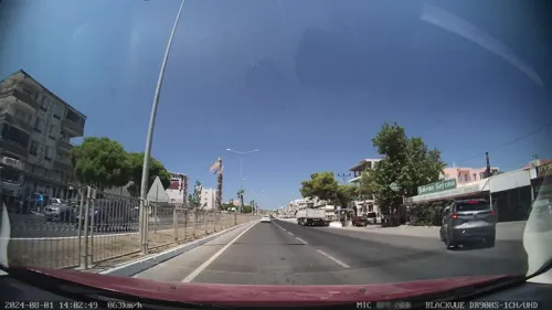
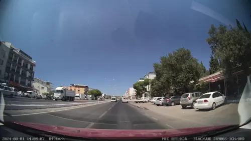
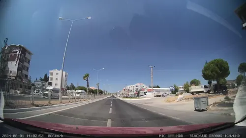
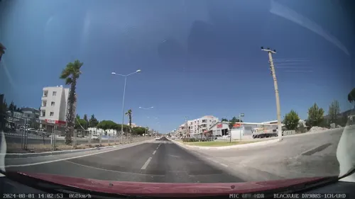
- Street-level photo, unen, CC BY-SA 4.0
- Street-level photo, unen, CC BY-SA 4.0
- Street-level photo, unen, CC BY-SA 4.0
- Street-level photo, unen, CC BY-SA 4.0
- Street-level photo, unen, CC BY-SA 4.0
- Street-level photo, unen, CC BY-SA 4.0
- Street-level photo, unen, CC BY-SA 4.0
- Street-level photo, unen, CC BY-SA 4.0
- Street-level photo, unen, CC BY-SA 4.0
Page built November 8, 2026. Spotted a mistake? Tell us or suggest a place.