
Why visit Yolağzı
Townapedia lists 1 place to eat and 1 place to stay in and around town.
Weather in Yolağzı
Forecast from MET Norway (CC BY 4.0). Full forecast
About Yolağzı
Gercüş (Kurdish: Kercoz; Syriac: Kfar-Gawze) is a town and seat of the Gercüş District of Batman Province in Turkey. The town is populated by Kurds of the Kercoz tribe and had a population of 6,064 in 2021. The town is divided into the neighbourhoods of Bağlarbaşı, Çukurçeşme, Pınarbaşı and Yolağzı.
From the Wikipedia article Gercüş (this version), under CC BY-SA 4.0.
Restaurants and cafes1
Where to stay1

History
According to the Life of Jacob of Ṣalaḥ, Kfar-Gawze (today called Gercüş) was founded by a wealthy Roman soldier named Gawson prior to Jacob's death in 421 AD. Gawson had been forced to leave Ṣalaḥ after it was discovered that his daughter had committed adultery with his servant Decius. The village is also mentioned in the Life of Theodotus of Amida (d. 698). In the Syriac Orthodox patriarchal register of dues of 1870, it was recorded that Kfar-Gawze had sixteen households, who paid twenty-nine dues, and did not have a church or priest.
In 1914, Kfar-Gawze was inhabited by 150 Syriacs, according to the list presented to the Paris Peace Conference by the Assyro-Chaldean delegation. It was located in the kaza of Midyat. It was populated by Syriac Orthodox Christians, Chaldean Catholics, and Muslims. Amidst the Sayfo, at the end of July 1915, despite initially having promised to help and protect the Syriacs, the local Kurdish agha Yusuf Hasan Shamdin took some men from Kfar-Gawze to a place called Zaghore, where they were robbed and killed, and their bodies were thrown into a river. The remaining Syriacs were made to do forced labour and many fled to Midyat. The Mhallami Şeyh Fethullah forced the release of the captive Syriac women and children.
In 1960, the population was 2354. There were 90 Kurdish-speaking Christians in twelve families at Kfar-Gawze in 1966.
From the History section of Gercüş on Wikipedia, under CC BY-SA 4.0.
Map of Yolağzı
2 places. The map loads OpenStreetMap tiles when you open it.
Getting there and nearby towns
14. İnsansız Uçak Sistemleri Üs Komutanlığı Askeri Havaalanı (BAL) is the nearest airport with scheduled flights listed in OpenStreetMap, 49 km away.
- Gercüş 5 km northeast, about 5 min by car
- Barıştepe 6 km southeast, about 6 min by car
- Kırkat 6 km northwest, about 6 min by car
- Midyat 12 km south, about 12 min by car
- Batman 45 km northwest, about 45 min by car
- Nusaybin 52 km south, about 52 min by car
- Mardin 59 km southwest, about 59 min by car
- Siirt 69 km northeast, about 1 h 15 min by car
- Cizre 77 km east, about 1 h 15 min by car
- Kızıltepe 78 km southwest, about 1 h 15 min by car
Drive times are estimates from straight-line distance, not routes.
Local news
Headlines from INDB.
Reviews, tips and questions
Loading what members have shared...
Sources and licences
- GeoNames (CC BY 4.0): population, coordinates, regions and time zone
- Mapillary (see each image): photos
- OpenStreetMap contributors (ODbL 1.0): places, airports, map data
- Wikidata (CC0 1.0): elevation, founding date, time zone, website
- Wikipedia (CC BY-SA 4.0): overview and history text
Photo credits
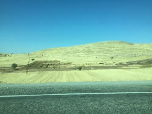
- Street-level photo, sessiznotalar, CC BY-SA 4.0
Page built November 8, 2026. Spotted a mistake? Tell us or suggest a place.