


Why visit Longido
Townapedia lists 2 museums and landmarks, 1 place to eat and 1 place to stay in and around town.
Weather in Longido
Forecast from MET Norway (CC BY 4.0). Full forecast
About Longido
Longido or Longido Town (Kata na Mji wa Lingido in Swahili) is an administrative ward and district capital located in the Longido District of the Arusha Region of Tanzania. The ward is bordered to the south on three sides by Orbomba ward and to the north by Kimokouwa ward. It is the administrative seat for Longido District. According to the 2012 census, the ward has a total population of 2,241.
From the Wikipedia article Longido, Longido District (this version), under CC BY-SA 4.0.
Photos of Longido


Museums and landmarks2
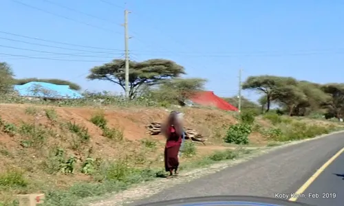
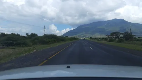
Restaurants and cafes1
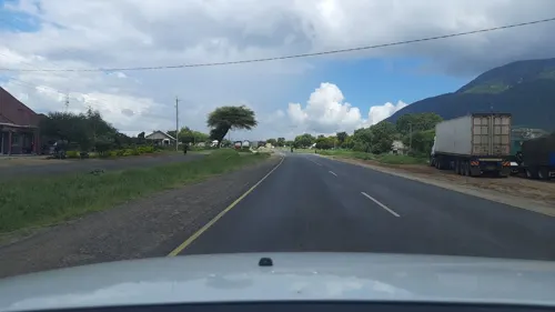
Where to stay1

Churches and places of worship1

History
On 3 November 1914, German forces defeated a British Expeditionary Force near Longido at the Battle of Kilimanjaro.
A 1928 ascent of Mount Longido was described in Vivienne de Watteville's book Speak to the Earth (1935). Anyolite was first discovered at the Mundarara Mine near Longido in 1954.In 2007, Longido became the capital of Longido District, which was formed out of part of Monduli District.
From the History section of Longido, Longido District on Wikipedia, under CC BY-SA 4.0.
Gas and EV charging1
Schools, colleges and libraries4
Map of Longido
10 places. The map loads OpenStreetMap tiles when you open it.
Getting there and nearby towns
Arusha airport (ARK) is the nearest airport with scheduled flights listed in OpenStreetMap, 71 km away.
- Namanga 22 km northeast, about 22 min by car
- Kingori 69 km southeast, about 1 h 15 min by car
- Nkoaranga 69 km south, about 1 h 15 min by car
- Monduli 69 km southwest, about 1 h 15 min by car
- Arusha 70 km south, about 1 h 15 min by car
- Poli 71 km south, about 1 h 15 min by car
- Usa River 72 km south, about 1 h 15 min by car
- Boma la Ngombe 84 km southeast, about 1 h 30 min by car
Drive times are estimates from straight-line distance, not routes.
Towns near Longido


Keep exploring
Local news
Headlines from INDB.
Reviews, tips and questions
Loading what members have shared...
Sources and licences
- GeoNames (CC BY 4.0): population, coordinates, regions and time zone
- Mapillary (see each image): photos
- OpenStreetMap contributors (ODbL 1.0): places, airports, map data
- Wikidata (CC0 1.0): elevation, founding date, time zone, website
- Wikimedia Commons (see each image): photos
- Wikipedia (CC BY-SA 4.0): overview and history text
Photo credits
- Longido town, Stebu2007 at English Wikipedia, Public domain
- Longido town view, Mnazini, CC BY 4.0
- Path on Moutn Longido, Mnazini, CC BY 4.0
- Clouds on Mount Longido, Arusha Region, Mnazini, CC BY 4.0
- Forest on Mount Longido, Arusha Region, Mnazini, CC BY 4.0
- Strangler fig on Mount Longido, Arusha Region, Mnazini, CC BY 4.0
- Tanzania 2007-08-14 (1468955151), Guillaume Baviere from Uppsala, Sweden, CC BY 2.0
- Tanzania 2007-08-14 (1469809048), Guillaume Baviere from Uppsala, Sweden, CC BY 2.0
- Tanzania 2007-08-14 (1468954947), Guillaume Baviere from Uppsala, Sweden, CC BY 2.0
- Street-level photo, calista2019, CC BY-SA 4.0
- Street-level photo, calista2019, CC BY-SA 4.0
- Street-level photo, kobykarin, CC BY-SA 4.0
- Street-level photo, calista2019, CC BY-SA 4.0
Page built November 10, 2026. Spotted a mistake? Tell us or suggest a place.