


Why visit Khánh Hải
Townapedia lists 7 places to eat and 10 places to stay in and around town.
Weather in Khánh Hải
Forecast from MET Norway (CC BY 4.0). Full forecast
About Khánh Hải
Khánh Hưng is a commune in the Cà Mau province, Vietnam. As of 2007 the commune had a population of 18,874 and covers an area of 63.37 square kilometers.
From the Wikipedia article Khánh Hưng, Cà Mau (this version), under CC BY-SA 4.0.
Restaurants and cafes7


Where to stay10


Ninh Chu Bay Beach Club
Campground · 1.9 km
The beach club is now a lost place. But you can still put up a tent near the beach.


Churches and places of worship2

Shopping1

Gas and EV charging1
Schools, colleges and libraries9
Phân hiệu Trường Đại học Nông Lâm Thành phố Hồ Chí Minh tại Ninh Thuận
School · 1.3 km
8 Yên Ninh
Healthcare1
Map of Khánh Hải
31 places. The map loads OpenStreetMap tiles when you open it.
Getting there and nearby towns
Phan Rang Air Base (PHA) is the nearest airport with scheduled flights listed in OpenStreetMap, 12 km away.
- Phan Rang-Tháp Chàm 6 km southwest, about 6 min by car
- Cam Ranh 39 km north, about 39 min by car
- Nha Trang 75 km north, about 1 h 15 min by car
- Đưc Trọng 74 km west, about 1 h 15 min by car
- Ðà Lạt 76 km northwest, about 1 h 15 min by car
- Đinh Văn 90 km west, about 1 h 30 min by car
Drive times are estimates from straight-line distance, not routes.
Local news
Headlines from INDB.
Reviews, tips and questions
Loading what members have shared...
Sources and licences
- GeoNames (CC BY 4.0): population, coordinates, regions and time zone
- Mapillary (see each image): photos
- OpenStreetMap contributors (ODbL 1.0): places, airports, map data
- Wikidata (CC0 1.0): elevation, founding date, time zone, website
- Wikimedia Commons (see each image): photos
- Wikipedia (CC BY-SA 4.0): overview and history text
Photo credits
- Khánh Hải, Phan Rang–Tháp Chàm, Ninh Thuan Province, Vietnam - panoramio, Lam Tr Th, CC BY-SA 3.0
- Cung đường ven biển Phan Rang Cam Ranh - panoramio (25), Lam Tr Th, CC BY-SA 3.0
- Cung đường ven biển Phan Rang Cam Ranh - panoramio (26), Lam Tr Th, CC BY-SA 3.0
- Cung đường ven biển Phan Rang Cam Ranh - panoramio (28), Lam Tr Th, CC BY-SA 3.0
- Phan Rang–Tháp Chàm banner landscape, [Tycho] talk , http://shansov.net, CC BY-SA 3.0
- Ninh Hải District, Ninh Thuan Province, Vietnam - panoramio, Lam Tr Th, CC BY-SA 3.0
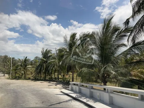
- Ninh Chu Beach (Bãi biển ninh chữ Ninh Thuận ) - panoramio (6), Lam Tr Th, CC BY-SA 3.0
- Ninh Chu Beach (Bãi biển ninh chữ Ninh Thuận ) - panoramio (8), Lam Tr Th, CC BY-SA 3.0
- Ninh Chu Beach (Bãi biển ninh chữ Ninh Thuận ) - panoramio (7), Lam Tr Th, CC BY-SA 3.0
- Ninh Chu Beach (Bãi biển ninh chữ Ninh Thuận ) - panoramio (5), Lam Tr Th, CC BY-SA 3.0
- Ninh Chu Beach (Bãi biển ninh chữ Ninh Thuận ) - panoramio (1), Lam Tr Th, CC BY-SA 3.0
- Ninh Chu Beach (Bãi biển ninh chữ Ninh Thuận ) - panoramio (3), Lam Tr Th, CC BY-SA 3.0
- Ninh Chu Beach (Bãi biển ninh chữ Ninh Thuận ) - panoramio (4), Lam Tr Th, CC BY-SA 3.0
- Ninh Chu Beach (Bãi biển ninh chữ Ninh Thuận ) - panoramio (2), Lam Tr Th, CC BY-SA 3.0
- Ninh Chu Beach (Bãi biển ninh chữ Ninh Thuận ) - panoramio, Lam Tr Th, CC BY-SA 3.0
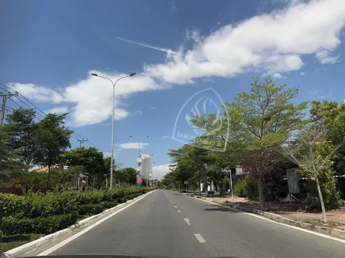
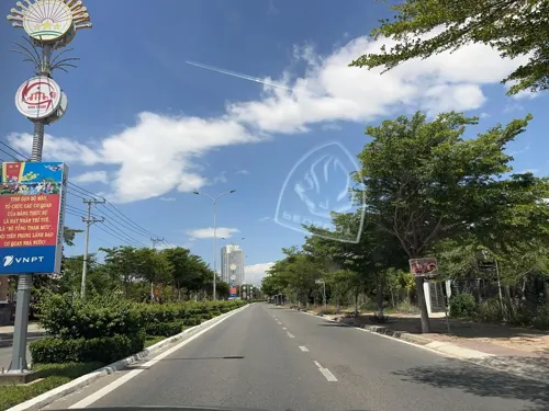
- Street-level photo, DriveWithHoang, CC BY-SA 4.0
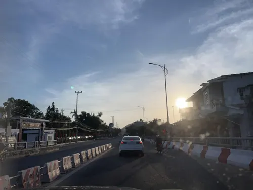
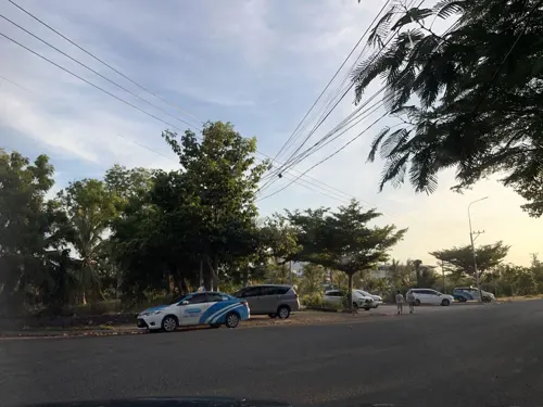
- Street-level photo, DriveWithHoang, CC BY-SA 4.0
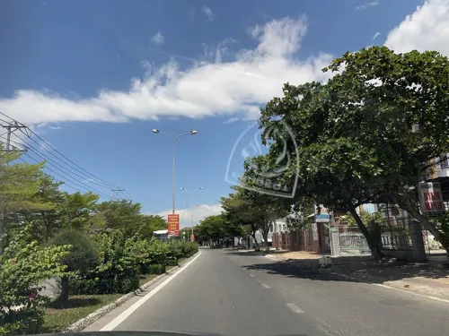
- Street-level photo, DriveWithHoang, CC BY-SA 4.0
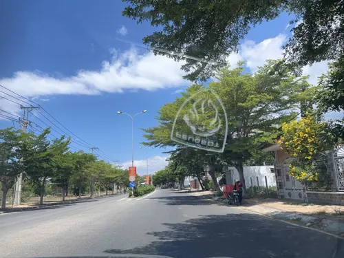
- Street-level photo, DriveWithHoang, CC BY-SA 4.0
- Street-level photo, DriveWithHoang, CC BY-SA 4.0
- Street-level photo, DriveWithHoang, CC BY-SA 4.0
- Street-level photo, DriveWithHoang, CC BY-SA 4.0
- Street-level photo, DriveWithHoang, CC BY-SA 4.0
- Street-level photo, DriveWithHoang, CC BY-SA 4.0
- Street-level photo, DriveWithHoang, CC BY-SA 4.0
- Street-level photo, DriveWithHoang, CC BY-SA 4.0
- Street-level photo, DriveWithHoang, CC BY-SA 4.0


Page built November 8, 2026. Spotted a mistake? Tell us or suggest a place.