


Why visit Phủ Lý
Townapedia lists 4 museums and landmarks, 5 parks and trails, 6 places to eat and 7 places to stay in and around town.
Weather in Phủ Lý
Forecast from MET Norway (CC BY 4.0). Full forecast
About Phủ Lý
Phủ Lý was formerly the capital city of former Hà Nam Province of Vietnam 60 km south of Hanoi on the river Đáy.
From the Wikipedia article Phủ Lý (city) (this version), under CC BY-SA 4.0.
Museums and landmarks4


Parks, trails and playgrounds5


Restaurants and cafes6


Chay Tuệ Giác Hà Nam
Restaurant · Ice Cream, Coffee Shop, Fine Dining, Breakfast, Diner
54F Trần Phú
Mo-Su 07:00-21:00
Ngoc Son Restaurant
Restaurant · 0.9 km
255 Đường Lý Thường Kiệt
Mo-Su 09:30-21:30
Where to stay7

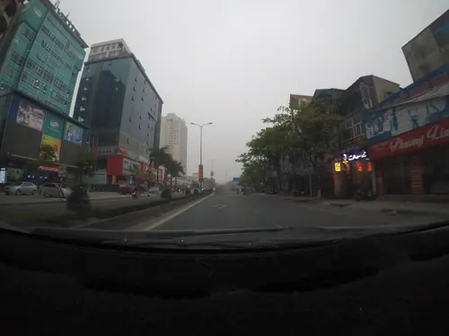


History
Phủ Lý was taken by the French canonnière l'Espingole and 28 men captained by Adrien-Paul Balny d'Avricourt on October 26 1873, shortly before Balny's death together with Francis Garnier at Hanoi's West Gate.
In the aftermath of World War II, Phủ Lý was where a significant number of VNQDĐ leaders were captured by the Việt Minh in 1946. The city was attacked by retreating French forces on June 30 1954, shortly before the country was liberated.
It was almost completely destroyed by the Americans in five days of bombing between July 14 and November 5, 1966.
Michael Maclear writes of the area afterwards as 'a wasteland without life':
"The inhabitants would have had no warning of the rain of bombs. Squadrons of B-52s flying six miles high, unseen and unheard, would systematically obliterate sections of their target, day after day. Unlike Hanoi, which was ringed with Soviet SAM missiles, here in the rural areas there was no adequate defense."
From the History section of Phủ Lý (city) on Wikipedia, under CC BY-SA 4.0.
Churches and places of worship2
Shopping2
Gas and EV charging10
Schools, colleges and libraries29
Healthcare11
Map of Phủ Lý
76 places. The map loads OpenStreetMap tiles when you open it.
Getting there and nearby towns
Noi Bai International Airport (HAN) is the nearest airport with scheduled flights listed in OpenStreetMap, 76 km away.
- Thanh Nguyên 15 km south, about 15 min by car
- Hưng Yên 18 km northeast, about 18 min by car
- Lương Bằng 27 km northeast, about 27 min by car
- Nam Định 30 km southeast, about 30 min by car
- Hanoi 54 km north, about 54 min by car
- Long Bien 54 km north, about 54 min by car
- Thuận Thanh 58 km north, about 58 min by car
- Sơn Tây 78 km northwest, about 1 h 15 min by car
- Thanh Hóa 84 km south, about 1 h 30 min by car
- Haiphong 88 km northeast, about 1 h 30 min by car
Drive times are estimates from straight-line distance, not routes.
Local news
Headlines from INDB.
Reviews, tips and questions
Loading what members have shared...
Sources and licences
- GeoNames (CC BY 4.0): population, coordinates, regions and time zone
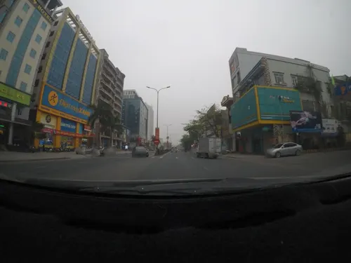
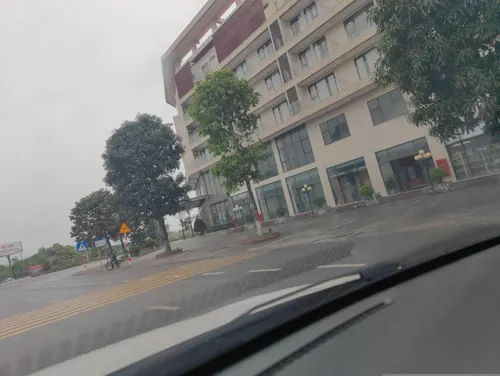
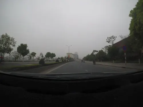
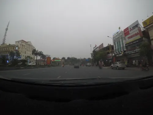
- Mapillary (see each image): photos
- OpenStreetMap contributors (ODbL 1.0): places, airports, map data
- Wikidata (CC0 1.0): elevation, founding date, time zone, website
- Wikimedia Commons (see each image): photos
- Wikipedia (CC BY-SA 4.0): overview and history text
Photo credits
- Phủ Lý, sông Đáy, Nguyễn Thanh Quang, CC BY-SA 3.0
- Thắng Lợi, tp. Phủ Lý, Hà Nam Province, Vietnam - panoramio (17), ngocchat1014, CC BY 3.0
- Thắng Lợi, tp. Phủ Lý, Hà Nam Province, Vietnam - panoramio (18), ngocchat1014, CC BY 3.0
- Thắng Lợi, tp. Phủ Lý, Hà Nam Province, Vietnam - panoramio (19), ngocchat1014, CC BY 3.0
- Thắng Lợi, tp. Phủ Lý, Hà Nam Province, Vietnam - panoramio (20), ngocchat1014, CC BY 3.0
- Thắng Lợi, tp. Phủ Lý, Hà Nam Province, Vietnam - panoramio (22), ngocchat1014, CC BY 3.0
- Thắng Lợi, tp. Phủ Lý, Hà Nam Province, Vietnam - panoramio (21), ngocchat1014, CC BY 3.0
- Thắng Lợi, tp. Phủ Lý, Hà Nam Province, Vietnam - panoramio (15), ngocchat1014, CC BY 3.0
- Thắng Lợi, tp. Phủ Lý, Hà Nam Province, Vietnam - panoramio (11), ngocchat1014, CC BY 3.0
- Thắng Lợi, tp. Phủ Lý, Hà Nam Province, Vietnam - panoramio (1), ngocchat1014, CC BY 3.0
- Thắng Lợi, tp. Phủ Lý, Hà Nam Province, Vietnam - panoramio (7), ngocchat1014, CC BY 3.0
- Thắng Lợi, tp. Phủ Lý, Hà Nam Province, Vietnam - panoramio (8), ngocchat1014, CC BY 3.0
- Thắng Lợi, tp. Phủ Lý, Hà Nam Province, Vietnam - panoramio (3), ngocchat1014, CC BY 3.0
- Thắng Lợi, tp. Phủ Lý, Hà Nam Province, Vietnam - panoramio (2), ngocchat1014, CC BY 3.0
- Thắng Lợi, tp. Phủ Lý, Hà Nam Province, Vietnam - panoramio (4), ngocchat1014, CC BY 3.0
- Thắng Lợi, tp. Phủ Lý, Hà Nam Province, Vietnam - panoramio (6), ngocchat1014, CC BY 3.0
- Thắng Lợi, tp. Phủ Lý, Hà Nam Province, Vietnam - panoramio (10), ngocchat1014, CC BY 3.0
- Thắng Lợi, tp. Phủ Lý, Hà Nam Province, Vietnam - panoramio (14), ngocchat1014, CC BY 3.0
- Thắng Lợi, tp. Phủ Lý, Hà Nam Province, Vietnam - panoramio (12), ngocchat1014, CC BY 3.0
- Thắng Lợi, tp. Phủ Lý, Hà Nam Province, Vietnam - panoramio (9), ngocchat1014, CC BY 3.0
- Thắng Lợi, tp. Phủ Lý, Hà Nam Province, Vietnam - panoramio (13), ngocchat1014, CC BY 3.0
- Thắng Lợi, tp. Phủ Lý, Hà Nam Province, Vietnam - panoramio, ngocchat1014, CC BY 3.0
- Thắng Lợi, tp. Phủ Lý, Hà Nam Province, Vietnam - panoramio (5), ngocchat1014, CC BY 3.0
- Thắng Lợi, tp. Phủ Lý, Hà Nam Province, Vietnam - panoramio (16), ngocchat1014, CC BY 3.0
- Những ngôi nhà ống - Phủ lý - 19-2-2009 - panoramio, ngocchat1014, CC BY 3.0
- Đêm Phủ Lý (năm 2008) - panoramio, ngocchat1014, CC BY 3.0
- Chùa Bầu - Phủ Lý - panoramio, ngocchat1014, CC BY 3.0
- Ngõ 175, Đường Trường Chinh (nhìn ra đường Trường Chinh) - 13-2-2009 - panoramio, ngocchat1014, CC BY 3.0
- Ngõ 175 - Đường Trường Chinh (nhìn từ đường Trường Chinh vào) - 19-2-2009 - panoramio, ngocchat1014, CC BY 3.0
- Temple 府里 - panoramio, JtWang, CC BY-SA 3.0
- Tháp truyền hình soi bóng hồ chùa Bầu - panoramio, ngocchat1014, CC BY 3.0
- Residents in Vietnam's Tien Ngoai Commune, Duy Tien District, Ha Nam Province, discuss ways to prevent and control avian and pandemic influenza. (5753786889), USAID Vietnam, Public domain
- Residents in Vietnam's Tien Ngoai Commune, Duy Tien District, Ha Nam Province, discuss ways to prevent and control avian and pandemic influenza. (5640109624), USAID Vietnam, Public domain
- Hồ chùa bầu - panoramio, ngocchat1014, CC BY 3.0
- USAID fights infection and the spread of animal and pandemic influenza in Vietnam. (5071427622), USAID Vietnam, Public domain
- Nymphaea sp. (32261363030), Le Anh Tuan, Public domain
- Night Blooming Cereus (34851977943), Le Anh Tuan, Public domain
- Handover Ceremony Hoa Mac Market Ha Nam (8127278686), USAID Vietnam, Public domain
- Handover Ceremony Hoa Mac Market, Ha Nam (8127269357), USAID Vietnam, Public domain
- Street-level photo, 24dakenlo, CC BY-SA 4.0
- Street-level photo, hn_right_2, CC BY-SA 4.0
- Street-level photo, 24dakenlo, CC BY-SA 4.0
- Street-level photo, 24dakenlo, CC BY-SA 4.0
- Street-level photo, 24dakenlo, CC BY-SA 4.0
- Street-level photo, 24dakenlo, CC BY-SA 4.0
- Street-level photo, 24dakenlo, CC BY-SA 4.0


Page built November 8, 2026. Spotted a mistake? Tell us or suggest a place.