

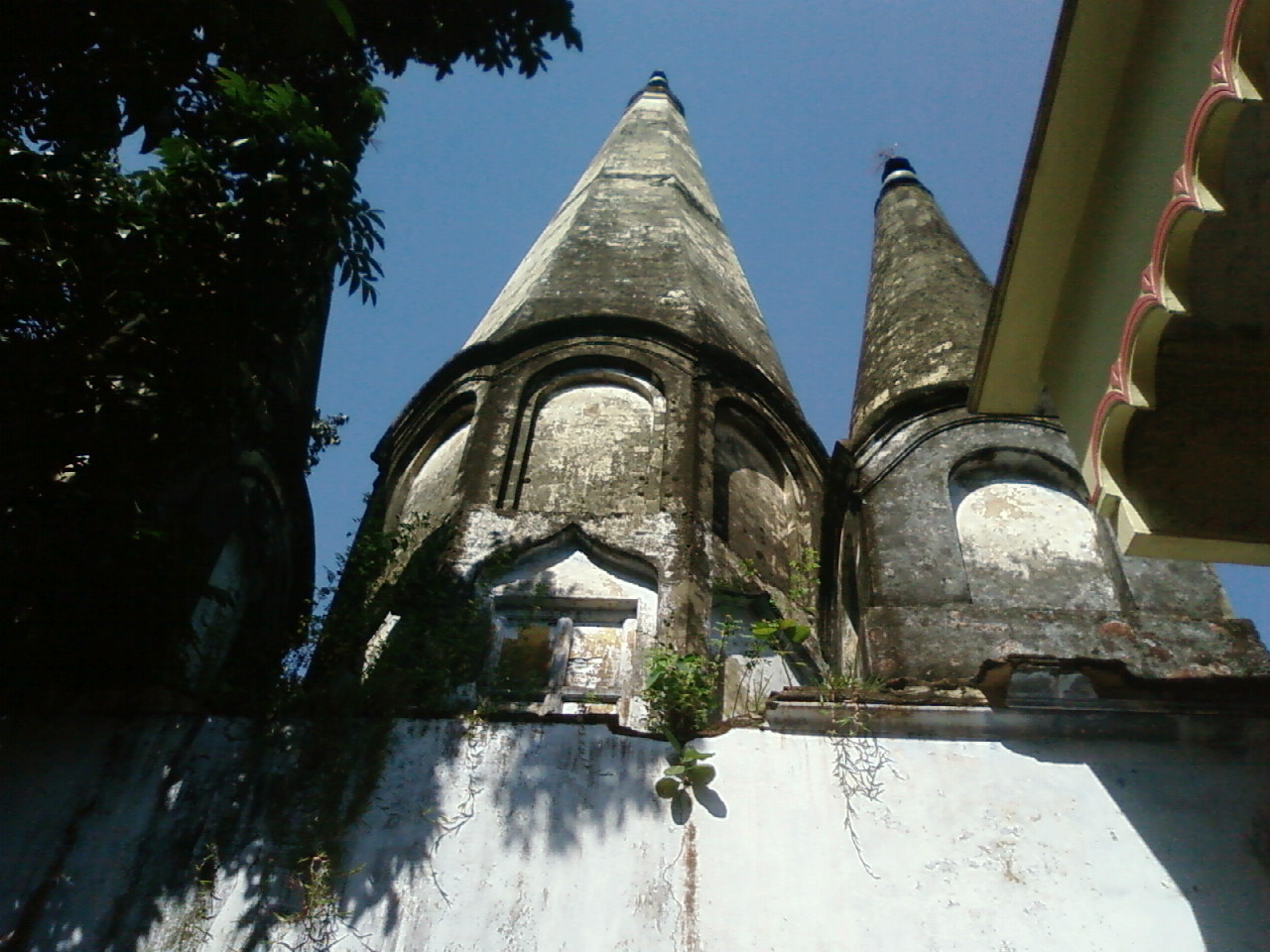


Brāhmanbāria, Bangladesh
ব্রাহ্মণবাড়িয়া জেলা
Brāhmanbāria is a town of 279,485 people in Chittagong, Bangladesh.
Why visit Brāhmanbāria
Townapedia lists 3 parks and trails, 4 places to eat and 1 attraction in and around town.
Highlights include Jamia Islamia Yunusia.
Weather in Brāhmanbāria
Forecast from MET Norway (CC BY 4.0). Full forecast
About Brāhmanbāria
Brahmanbaria District (Bengali: ব্রাহ্মণবাড়িয়া জেলা, romanized: Brammôṇbaṛiya) is a district in eastern Bangladesh located in the Chittagong Division. Geographically, it is mostly farmland and is topographically part of the Gangetic Plain. It is bounded by the districts of Kishoreganj and Habiganj to the north, Narsingdi District and Narayanganj to the west, Comilla to the south, and the Indian state of Tripura to the east. It was a part of Comilla District until 15 February 1984.
From the Wikipedia article Brahmanbaria District (this version), under CC BY-SA 4.0.
Travel tips from other travellers: Brāhmanbāria on Wikivoyage (CC BY-SA 4.0).
Things to do1

Parks, trails and playgrounds3




Restaurants and cafes4

Be Mezban
Restaurant · Indian, Pizza, Burger, Italian, Chinese, Sandwich, Mexican, Thai, American, Seafood, Ice Cream, Regional, Fish And Chips
"Brahmanbaria's First Multi-Cuisine Restaurant. We Provide Bengali, Mughlai, Continental, Italian, Indian(North & South), and Fast Food...
Kalibarirmor, T A Road, Brahmanbaria
24/7
মেজবান
Restaurant · Pizza, Regional, Coffee Shop, Burger, Italian, Chinese, Sandwich, Chicken, Kebab, Indian, Asian, French, Seafood, Ice Cream, Fish And Chips
T A Road, Brahmanbaria
24/7
Churches and places of worship4

History
Brahmanbaria was a part of Samatata region of ancient Bengal. Before the reign of Alauddin Husain Shah, the sultan of Bengal, Brahmanbaria was part of Tripura. In 1513, Husain Shah defeated the king of Tripura, Dhanya Manikya, in battle, and succeeded to annex at least some portion of the territory of Tripura, which included modern Brahmanbaria. He also established the fort of Kaliagarh in Tripuri territory (which later became the modern town of Kasba, Brahmanbaria). The area Syed Mahmud resided in was named Kazipara (Kazi being a variant of Qadi) after him, and his mazar (mausoleum) remains there.
The leader of the Baro-Bhuiyan zamindars, Isa Khan, had his first and temporary capital situated in Sarail. Brahmanbaria was made part of the Sylhet Sarkar. During the Mughal era, Brahmanbaria was famous for producing quality cloth muslin.
From the History section of Brahmanbaria District on Wikipedia, under CC BY-SA 4.0.
Shopping2
Gas and EV charging1
Titas Gas Field Location A
Gas station · 2.4 km
Cumilla-Sylhet Highway, Brahmanbaria
Schools, colleges and libraries5
Healthcare3
Map of Brāhmanbāria
23 places. The map loads OpenStreetMap tiles when you open it.
Getting there and nearby towns
Maharaja Bir Bikram Airport (IXA) is the nearest airport with scheduled flights listed in OpenStreetMap, 16 km away.
- Agartala 23 km southeast, about 23 min by car
- Narsingdi 41 km west, about 41 min by car
- Comilla 57 km south, about 57 min by car
- Gazipur 70 km west, about 1 h 15 min by car
- Tungi 73 km west, about 1 h 15 min by car
- Narayanganj 74 km southwest, about 1 h 15 min by car
- Motijheel 76 km west, about 1 h 15 min by car
- Paltan 76 km west, about 1 h 15 min by car
- Dhaka 77 km west, about 1 h 15 min by car
- Savar 89 km west, about 1 h 30 min by car
Drive times are estimates from straight-line distance, not routes.
Local news
Headlines from INDB.
Reviews, tips and questions
Loading what members have shared...
Sources and licences
- GeoNames (CC BY 4.0): population, coordinates, regions and time zone
- OpenStreetMap contributors (ODbL 1.0): places, airports, map data
- Wikidata (CC0 1.0): elevation, founding date, time zone, website, landmarks and historic places
- Wikimedia Commons (see each image): photos
- Wikipedia (CC BY-SA 4.0): overview and history text
Photo credits
- Kal Bhairab in Brahmanbaria, Bangladesh-2, Subrata Roy, CC BY-SA 3.0
- Kal Bhairab in Brahmanbaria, Bangladesh-5, Subrata Roy, CC BY-SA 3.0
- সাবেরা, Saifulislam09, CC0
- Brahmanbaria Niaz Mohammad Stadium, Faysal Bin Darul, CC0
Page built November 4, 2026. Spotted a mistake? Tell us or suggest a place.