



Bloomingdale, New Jersey
Bloomingdale is a borough of 7,716 people in Passaic County, New Jersey, founded in February 23, 1918.
Why visit Bloomingdale
Townapedia lists 12 museums and landmarks, 17 parks and trails, 39 places to eat, 5 places to stay and 15 attractions in and around town.
Highlights include Federal Hill, Torne Mountain, Butler and Demarest House.
July is the warmest month, with average highs of 84°F; January lows average 20°F.
Weather in Bloomingdale
Forecast from the National Weather Service. Full forecast
About Bloomingdale
Bloomingdale is a borough in Passaic County, in the U.S. state of New Jersey. As of the 2020 United States census, the borough's population was 7,777, an increase of 121 (+1.6%) from the 2010 census count of 7,656, which in turn reflected an increase of 46 (+0.6%) from the 7,610 counted in the 2000 census.
From the Wikipedia article Bloomingdale, New Jersey (this version), under CC BY-SA 4.0.
Things to do15


3 more on the map.
Museums and landmarks12

Butler
Monument and historic site · National Register of Historic Places · 2.2 mi
NYS&W station


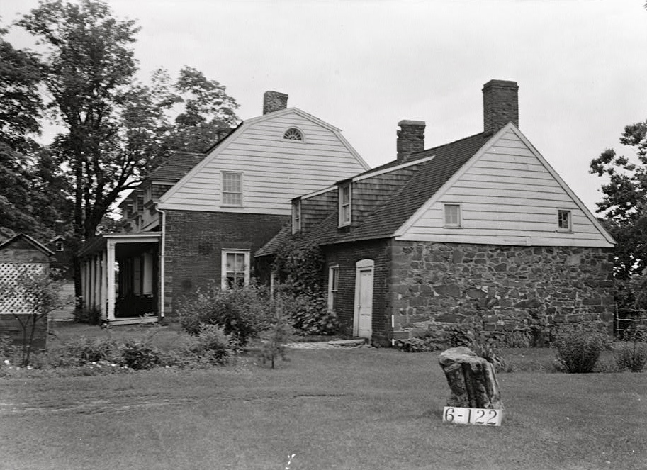
Demarest House
Monument and historic site · National Register of Historic Places · 4.6 mi
Historic house in Oakland, New Jersey, USA
Schuyler-Colfax House
Monument and historic site · National Register of Historic Places · 4.4 mi
Historic house in New Jersey, United States


Parks, trails and playgrounds17

Friendship Park
Park · 1.8 mi
Park in New Jersey, United States of America

5 more on the map.
Restaurants and cafes39


Cinco De Mayo Grill
Restaurant · Mexican · 2.0 mi
125 Paterson-Hamburg Turnpike, Bloomingdale
Mo-Su 11:00-22:00
Outback Steakhouse
Restaurant · American, Steak · 2.4 mi
1538 Route 23, Butler
Mo-Th,Su 11:00-21:30; Fr,Sa 11:00-23:00

Macopin Pizza
Restaurant · Pizza · 2.5 mi
707 Macopin Rd, West Milford

27 more on the map.
History
Bloomingdale's Federal Hill was the site of the 1781 Pompton Mutiny, a winter revolt of Continental Army troops that was crushed by General Robert Howe on direct orders of General George Washington.
Growth in Bloomingdale was driven by the development in the late 1860s of a rubber mill and other factories in neighboring Butler. The New Jersey Midland Railroad, later known as the New York, Susquehanna and Western Railway, laid tracks adjacent to the settlement, with a Bloomingdale station located in what today is Riverdale. The northern section of Riverdale and most of Butler were known as East Bloomingdale and West Bloomingdale respectively during most of the 19th century. Despite crossing a county border, they also shared a school district and residents considered the whole area as "Bloomingdale" until about 1881 when a Post Office named Butler was designated. This began a period of rivalry which caused a schism between the residents of Butler and Bloomingdale resulting in separate schools, churches and even town bands.
From the History section of Bloomingdale, New Jersey on Wikipedia, under CC BY-SA 4.0.
Where to stay5
Churches and places of worship8
The Journey Within (Spiritualists' National Union Church)
Place of worship · 2.7 mi
Shopping10
Gas and EV charging11
Schools, colleges and libraries40
Healthcare4
Map of Bloomingdale
161 places. The map loads OpenStreetMap tiles when you open it.
Climate by month
Monthly table
| Month | High | Low | Rain |
|---|---|---|---|
| Jan | 38°F | 20°F | 3.4 in |
| Feb | 40°F | 20°F | 2.7 in |
| Mar | 48°F | 29°F | 3.9 in |
| Apr | 60°F | 39°F | 4.2 in |
| May | 71°F | 50°F | 3.6 in |
| Jun | 79°F | 58°F | 5.1 in |
| Jul | 84°F | 64°F | 4.7 in |
| Aug | 83°F | 63°F | 4.6 in |
| Sep | 76°F | 56°F | 4.0 in |
| Oct | 64°F | 43°F | 4.4 in |
| Nov | 53°F | 35°F | 3.8 in |
| Dec | 43°F | 27°F | 4.0 in |
U.S. Climate Normals 1991-2020 for Wanaque Raymond Dam (2 mi away), NOAA NCEI.
People and cost of living
American Community Survey 5-year estimates, 2020-2024, U.S. Census Bureau. Estimates have margins of error, larger for small towns.
Disaster history
Passaic County has had 20 federal disaster declarations since 2000, most often for hurricanes.
- 2021-09-05: Remnants Of Hurricane Ida (Hurricane)
- 2021-09-02: Remnants Of Hurricane Ida (Hurricane)
- 2020-03-25: Covid-19 Pandemic (Biological)
- 2020-03-13: Covid-19 (Biological)
- 2018-06-08: Severe Winter Storm And Snowstorm (Severe Storm)
- 2012-10-30: Hurricane Sandy (Hurricane)
OpenFEMA disaster declarations summaries.
Getting there and nearby towns
Essex County Airport (CDW) is the nearest airport with scheduled flights listed in OpenStreetMap, 12 miles away.
- Wanaque 2 mi east, about 4 min by car
- Pompton Lakes 3 mi southeast, about 5 min by car
- Kinnelon 5 mi southwest, about 7 min by car
- Oakland 5 mi east, about 8 min by car
- Pompton Plains 5 mi south, about 8 min by car
- Newfoundland 5 mi west, about 8 min by car
- Ringwood 6 mi northeast, about 9 min by car
- Franklin Lakes 7 mi east, about 11 min by car
- Lincoln Park 8 mi south, about 13 min by car
- Preakness 9 mi southeast, about 14 min by car
Drive times are estimates from straight-line distance, not routes.
Local news
Headlines from INDB, the NEMICO news database.
Reviews, tips and questions
Loading what members have shared...
Sources and licences
- NCES EDGE (Public domain): public schools
- NOAA NCEI U.S. Climate Normals 1991-2020 (Public domain): climate by month
- OpenFEMA (Public domain): disaster declarations
- OpenStreetMap contributors (ODbL 1.0): places, airports, map data
- U.S. Census Bureau (Public domain): population, income, housing, education, commute
- Wikidata (CC0 1.0): elevation, founding date, time zone, website, landmarks and historic places
- Wikimedia Commons (see each image): photos
- Wikipedia (CC BY-SA 4.0): overview and history text
Photo credits
- 2018-07-25 14 51 59 View north along Interstate 287 between Exit 53 and Exit 55 in Bloomingdale, Passaic County, New Jersey, Famartin, CC BY-SA 4.0
- Schuyler-Colfax House, Nathaniel R. Ewan, Public domain
- Butler station - August 2011, Adam Moss, CC BY-SA 2.0
- Demarest House, Oakland, Bergen County, NJ, JERRYE & ROY KLOTZ M.D., CC BY-SA 4.0
Page built October 30, 2026. Spotted a mistake? Tell us or suggest a place.