


Why visit Amöneburg
Townapedia lists 163 museums and landmarks, 21 parks and trails, 56 places to eat, 4 places to stay and 7 attractions in and around town.
Highlights include Warte, Burg Amöneburg, Burg Hunsgeweide and Amöneburg.
Weather in Amöneburg
Forecast from MET Norway (CC BY 4.0). Full forecast
About Amöneburg
Amöneburg (German pronunciation: [aˈmøːnəbʊʁk] ) is a town in the Marburg-Biedenkopf district in Hesse, Germany. It lies on a mountain and is built around the castle of the same name, Burg Amöneburg.
From the Wikipedia article Amöneburg (this version), under CC BY-SA 4.0.
Things to do7


SB-Bio-Scheune
Farm and orchard · 4.3 km
Mo-Fr 08:00-18:00; Sa 08:00-18:00; Su off
Museums and landmarks163


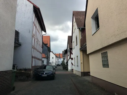
Heimatmuseum Amöneburg
Museum
2 Schulgasse, Amöneburg
Mo-Th 08:00-12:00,14:00-16:00, Fr 08:00-12:00, Su[1,3] 14:00-18:00


Burg Schweinsberg
Monument and historic site · 4.1 km
1 Burg, Stadtallendorf

Schloß Rauischholzhausen
Monument and historic site · 5.3 km
1 Schloßpark, Ebsdorfergrund



151 more on the map.
Parks, trails and playgrounds21



Freibad Kirchhain
Sports field and stadium · 3.7 km
30 Am Schwimmbad, Kirchhain
"In der Freibadsaison von 10:00 - 20:00 Uhr"



Schutzgebiet für Bedrohte Arten Arzbach
Hiking and trails · 5.7 km
NABU-Schutzgebiet


9 more on the map.
Restaurants and cafes56

Brücker Mühle
Restaurant · Regional · 1.0 km
6 Am Friedenstein, Amöneburg
We-Sa 12:00-18:00; Su,PH 12:00-17:00
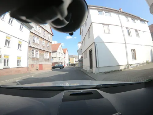
Café Noll
Cafe · German, Regional, Ice Cream, Breakfast, Cake, Salad, Pastry, Fries · 2.8 km
Warme Speisen von 11-14:30 Uhr und ab 17:00 Uhr
15 Brießelstraße
Mo off; Tu-Sa 09:00-19:00; Su,PH 11:00-19:00

Zum Stern
Restaurant · German · 5.0 km
4 Zimmerplatz, Ebsdorfergrund
Mo-Su 17:30-21:00 "nur Hotelgäste"
Ristorante Pizzeria Delizia
Restaurant · Italian · 3.0 km
16 Steinweg, Kirchhain
Mo-Su 11:30-14:00,17:00-22:30; Tu off

Bauernhofcafé Storchennest
Cafe · Regional, Cake, Breakfast · 4.8 km
8 Am Rülfbach, Ebsdorfergrund
Fr 18:00-23:00; Sa 14:00-22:00; Su 12:00-20:00; Mo 14:00-17:00; PH...
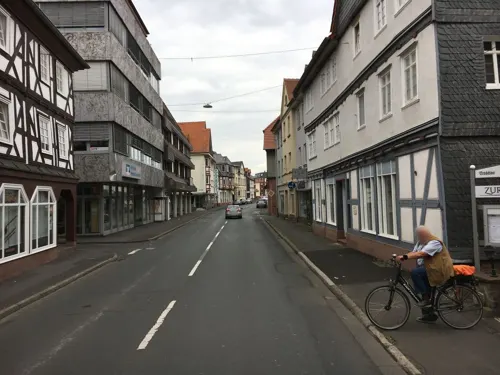
Gasthaus Zur Sonne
Restaurant · German · 2.8 km
Mo,Sa 16:30-24:00; Tu-Fr 11:00-14:00,16:30-24:00; Su 10:00-14:30
Pizzeria Adria
Restaurant · Italian · 2.8 km
Su 11:30-14:00,17:30-24:00, Tu-Fr 11:30-14:00,17:30-24:00; Sa 17:30-24:00
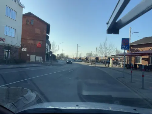
Schäfers Backstuben
Bakery · 3.1 km
9 Am Bahnhof, Kirchhain
Mo-Fr 05:30-17:00; Sa 07:00-13:00; Su 07:30-12:00
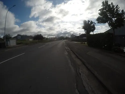
Schäfers Backstuben
Bakery · 3.3 km
47 Niederrheinische Straße, Kirchhain
Mo-Fr 05:30-18:00; Sa 05:30-16:00
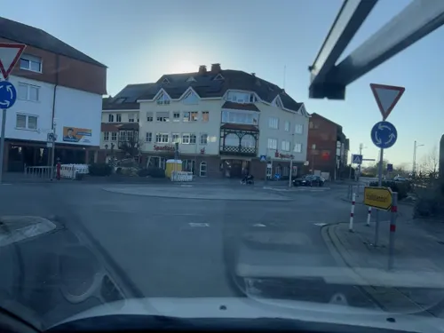


Unikat / Jasmin
Restaurant · Syrian, German, Burger, Oriental, Fries, Middle Eastern, Pasta, Dessert · 3.1 km
9 Am Bahnhof, Kirchhain
Mo-Sa 12:00-22:00; Tu,Th 17:00-22:00; We off; Su 10:00-22:00
Vu's Kitchen
Restaurant · Vietnamese · 3.0 km
13 Bahnhofstraße, Kirchhain
Tu-Fr 11:00-21:00; Sa,Su 12:00-21:00; Mo off
44 more on the map.
History
Findings from digs have suggested that the area was already settled in the New Stone Age. It is supposed that in Celtic times there was a town (or oppidum) here. In 721, Saint Boniface built a small monastery and a church below the castle.
At the beginning of the 12th century, much of Hesse belonged to Thuringia. The Thuringian lands, however, were so widely scattered that quite often they were interspersed with estates belonging to the Archbishopric of Mainz and its vassals. The parish of Amöneburg belonged to the archbishopric until 1803.
Amöneburg's rectangular market square was laid out in this shape in the 18th century. Also worth seeing is the Mainzer Hof with its barn and manor house at the Lindauer Tor (gate).
The adjoining church is a neo-Gothic basilica. On its north side stands the 14th-century church tower with its Baroque cupola.
Around the knoll that forms the townsite runs the town wall, still preserved to a great extent. A loop road offers good views of the surrounding countryside.
At the southeastern foot of the crags on which the town is built lies the Brückermühle, and old mill, with an old stone bridge (Ohmbrücke) across the river Ohm, which was an historically important crossing. It is known from the Hessians' and Brunswickers' fight against the French in 1762, recalled nowadays by a Baroque obelisk in the yard outside the Brückerwirtshaus (inn).
From the History section of Amöneburg on Wikipedia, under CC BY-SA 4.0.
Where to stay4
Churches and places of worship18
Stadtkirche
Church · Lutheran · 2.7 km
41 Hinterm Kirchhof, Kirchhain
Mariä Geburt und Johannes der Täufer
Church · Catholic · 3.6 km
4 Kirchstraße, Amöneburg
Shopping16
Gas and EV charging6
Schools, colleges and libraries17
Berufliche Schulen des Landkreises Marburg-Biedenkopf in Kirchhain
School · 4.0 km
18 Dresdener Straße, Kirchhain
Grundschule Rauischholzhausen
School · 5.1 km
2 Ferdinand-von-Stumm-Straße, Ebsdorfergrund
Healthcare8
Schloß-Apotheke
Clinic and pharmacy · 4.9 km
1 Wittelsberger Straße, Ebsdorfergrund
Abronsius-Apotheke
Clinic and pharmacy · 5.1 km
10a Schönbacher Straße, Kirchhain
Gesundheitszentrum Kirchhain
Clinic and pharmacy · 2.7 km
11 Mühlgasse, Kirchhain
Map of Amöneburg
250 places. The map loads OpenStreetMap tiles when you open it.
Getting there and nearby towns
Fritzlar Air Base (FRZ) is the nearest airport with scheduled flights listed in OpenStreetMap, 44 km away.
- Kirchhain 3 km north, about 3 min by car
- Stadtallendorf 7 km northeast, about 7 min by car
- Marburg an der Lahn 11 km west, about 11 min by car
- Cölbe 12 km northwest, about 12 min by car
- Wehrda 13 km west, about 13 min by car
- Neustadt (Hessen) 15 km northeast, about 15 min by car
- Wetter 18 km northwest, about 18 min by car
- Fronhausen 19 km southwest, about 19 min by car
- Staufenberg 20 km southwest, about 20 min by car
- Willingshausen 20 km east, about 20 min by car
Drive times are estimates from straight-line distance, not routes.
Local news
Headlines from INDB.
Reviews, tips and questions
Loading what members have shared...
Sources and licences
- GeoNames (CC BY 4.0): population, coordinates, regions and time zone
- Mapillary (see each image): photos
- OpenStreetMap contributors (ODbL 1.0): places, airports, map data
- Wikidata (CC0 1.0): elevation, founding date, time zone, website
- Wikimedia Commons (see each image): photos
- Wikipedia (CC BY-SA 4.0): overview and history text
Photo credits
- Blick von Amöneburg Richtung Südosten (2), Heinrich Stürzl, CC BY-SA 4.0
- Blick von Amöneburg Richtung Südosten pano, Heinrich Stürzl, CC BY-SA 4.0
- Blick von Amöneburg Richtung Südosten (1), Heinrich Stürzl, CC BY-SA 4.0
- Basaltmassiv, Amöneburg (2), Flight89, CC BY-SA 3.0
- Wickenberg 21, Amöneburg, Flight89, CC BY-SA 3.0
- Basaltmassiv, Amöneburg (3), Flight89, CC BY-SA 3.0
- Basaltmassiv, Amöneburg, Flight89, CC BY-SA 3.0
- Amöneburg Turm (2), Hydro, CC BY-SA 4.0
- Brücker Tor, Amöneburg (1), Flight89, CC BY-SA 3.0
- Basaltmassiv, Amöneburg (1), Flight89, CC BY-SA 3.0
- Brücker Tor, Amöneburg, Flight89, CC BY-SA 3.0
- Kirche Amöneburg 1, Hydro, CC BY-SA 4.0
- Stiftskirche, Amöneburg (2), Flight89, CC BY-SA 3.0
- St. Johannes Amöneburg (5), Hydro, CC BY-SA 3.0
- Kreuz Schafe Amöneburg, Hydro, CC BY-SA 4.0
- Kirche Amöneburg 2, Hydro, CC BY-SA 4.0
- Wickenberg 17, Amöneburg, Flight89, CC BY-SA 3.0
- Stiftskirche, Amöneburg (3), Flight89, CC BY-SA 3.0
- Brücker Tor, Amöneburg (2), Flight89, CC BY-SA 3.0
- Brücker Tor, Amöneburg (3), Flight89, CC BY-SA 3.0
- Statue Amöneburg, Hydro, CC BY-SA 4.0
- Schlossruine, Amöneburg (7), Flight89, CC BY-SA 3.0
- Amöneburg Turm, Hydro, CC BY-SA 3.0
- Stiftskirche, Amöneburg, Flight89, CC BY-SA 3.0
- Schlossruine, Amöneburg (8), Flight89, CC BY-SA 3.0
- Schlossruine, Amöneburg (6), Flight89, CC BY-SA 3.0
- Stadtmauer, Amöneburg, Flight89, CC BY-SA 3.0
- Amöneburg Friedhofstor, Hydro, CC BY-SA 4.0
- Friedhof, Amöneburg (2), Flight89, CC BY-SA 3.0
- Schlossruine, Amöneburg (2), Flight89, CC BY-SA 3.0
- Auf der Mauer, Amöneburg, Flight89, CC BY-SA 3.0
- Brückerstrasse 10, Amöneburg (1), Flight89, CC BY-SA 3.0
- St. Johannes Amöneburg (2), Hydro, CC BY-SA 3.0
- Amöneburg Burgkeller, Hydro, CC BY-SA 4.0
- Friedhof, Amöneburg (1), Flight89, CC BY-SA 3.0
- Stiftskirche, Amöneburg (1), Flight89, CC BY-SA 3.0
- Friedhof, Amöneburg, Flight89, CC BY-SA 3.0
- Am Friedensstein 2, Amöneburg, Flight89, CC BY-SA 3.0
- SchlossAmoeneburgwiki, Peter Voeth, CC BY-SA 3.0
- Schweinsberg (Stadtallendorf) (05), Hydro, CC BY-SA 4.0
- Menhir Langenstein2, Andreas Trepte, CC BY-SA 2.5
- Schloss Rauischholzhausen, 3, Rainer Lippert, CC BY-SA 3.0
- St. Johannes Amöneburg (4), Hydro, CC BY-SA 3.0
- Wenigenburg2wiki, Peter Voeth, Die silberlocke at de.wikipedia, CC BY-SA 3.0
- Amöneburg Lindaukapelle von SW, Heinrich Stürzl, CC BY-SA 4.0
- Stephanskirche Schweinsberg (Stadtallendorf) 1, Hydro, CC BY-SA 4.0
- Kirche Stausebach 1, Hydro, CC BY-SA 4.0
- Kirche Kleinseelheim 2, Hydro, CC BY-SA 4.0
- Falk Oberdorf Schweinsberger Moor 3, Falk Oberdorf, Osterstr. 8, 32312 Lübbecke, CC BY-SA 3.0 de
- Naturschutzgebiet Saurasen Feldhase, Miosta, CC BY 4.0
- Basalt-2378, Hessen, Amöneburg, NSG 1534001, Erikottodamm, CC BY-SA 4.0
- Kirchhainer Erlensee (2) 2024-02-01 (Elop), User:Elop, CC BY-SA 3.0
- Kirche Großseelheim 1, Hydro, CC BY-SA 4.0
- Rossdorf church II, Andreas Trepte, CC BY-SA 2.5
- Kirche Rüdigheim (Amöneburg) 3, Hydro, CC BY-SA 4.0
- Kirchhain church St Elisabeth, Andreas Trepte, CC BY-SA 2.5
- Erfurtshausen church, Andreas Trepte, CC BY-SA 2.5
- Mardorf Hessen Church, Andreas Trepte, CC BY-SA 2.5
- Lidar Burg Hunsgeweide und Umgebung, Commander-pirx, CC BY-SA 4.0
- Stiftsschule St. Johann 2, Hydro, CC BY-SA 4.0
- Kirchhain Annapark Tempelchen (2), Hydro, CC BY-SA 4.0
- Street-level photo, chuck, CC BY-SA 4.0
- Street-level photo, bahnpirat, CC BY-SA 4.0
- Street-level photo, robffm, CC BY-SA 4.0
- Street-level photo, mfa, CC BY-SA 4.0
- Street-level photo, tim3003, CC BY-SA 4.0
- Street-level photo, poxonline, CC BY-SA 4.0
- Street-level photo, chuck, CC BY-SA 4.0
- Street-level photo, mfa, CC BY-SA 4.0
- Street-level photo, bahnpirat, CC BY-SA 4.0
- Street-level photo, robffm, CC BY-SA 4.0
- Street-level photo, mfa, CC BY-SA 4.0
- Street-level photo, robffm, CC BY-SA 4.0
- Street-level photo, chuck, CC BY-SA 4.0
- Street-level photo, chuck, CC BY-SA 4.0
- Street-level photo, chuck, CC BY-SA 4.0
- Street-level photo, bahnpirat, CC BY-SA 4.0
- Street-level photo, mfa, CC BY-SA 4.0
- Street-level photo, chuck, CC BY-SA 4.0
- Street-level photo, bahnpirat, CC BY-SA 4.0


Page built November 9, 2026. Spotted a mistake? Tell us or suggest a place.