


Marburg an der Lahn, Germany
Marburg
Marburg an der Lahn is a town of 78,895 people in Hesse, Germany, founded in 1140.
Why visit Marburg an der Lahn
Townapedia lists 86 museums and landmarks, 23 parks and trails, 203 places to eat, 20 places to stay and 15 attractions in and around town.
Highlights include Cineplex Marburg, Freilichtbühne im Schlosspark, Kaiser-Wilhelm-Turm and Bismarcksäule Marburg.
Weather in Marburg an der Lahn
Forecast from MET Norway (CC BY 4.0). Full forecast
About Marburg an der Lahn
Marburg (; German: [ˈmaːɐ̯bʊʁk] or [ˈmaʁbʊʁk] ) is a university town in the German state (Land) of Hesse and the capital of the Marburg-Biedenkopf district (Landkreis). The town area spreads along the valley of the river Lahn and has a population of approximately 76,000.
From the Wikipedia article Marburg (this version), under CC BY-SA 4.0.
Travel tips from other travellers: Marburg an der Lahn on Wikivoyage (CC BY-SA 4.0).
Photos of Marburg an der Lahn


Things to do15

Cineplex Marburg
Cinema and theater
1 Biegenstraße, Marburg
"Täglich spätestens 45 Minuten vor Beginn der erstem Vorstellung."




Marburger MusikerInnen Verein
Cinema and theater · 1.3 km
11 Afföllerwiesen, Marburg
3 more on the map.
Museums and landmarks86

Kaiser-Wilhelm-Turm
Monument and historic site · 1.5 km
2 Hermann-Bauer-Weg, Marburg
Mo-Sa 13:00-19:00; Su 11:00-19:00


Marburger Kunstverein
Museum
5 Gerhard-Jahn-Platz, Marburg
Tu-Sa 11:00-17:00, We 11:00-20:00


Mittelalterliche Synagoge
Monument and historic site
Unter Glaskubus sichtbar, nur mittels Führung zugänglich


74 more on the map.
Parks, trails and playgrounds23



11 more on the map.
Restaurants and cafes203
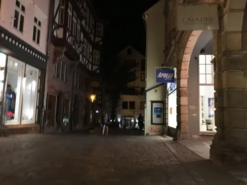
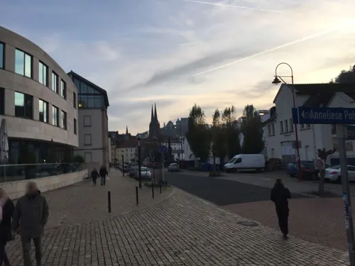
MIZU
Restaurant · Asian, Japanese, Korean · 1.1 km
2 Anneliese-Pohl-Allee, Marburg
Su, We-Th 18:00-22:00; Fr-Sa 18:00-23:00
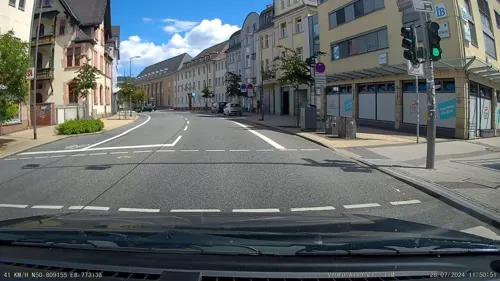
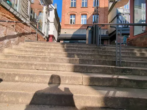
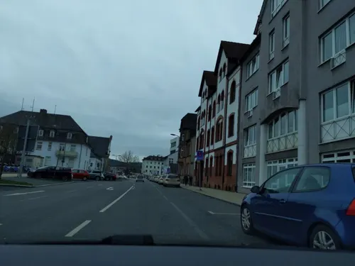
Asia Bistro "Mai Tai"
Restaurant · Asian, Chinese, Vietnamese, Thai · 1.3 km
4 Neue Kasseler Straße, Marburg
Mo off; Tu-Fr 11:00-15:00, 17:00-22:00; Sa-Su 12:00-22:00; PH 12:00-22:00
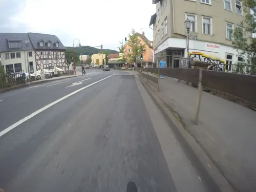
Blé Noir
Restaurant · Crepe, French, Seafood
10 Lingelgasse, Marburg
Fr-Su 12:00-22:30; Mo-Th 17:00-22:30
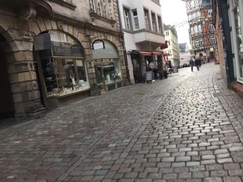
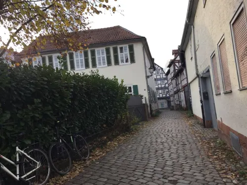
Café Q
Cafe · Regional, German, International
Cafe / Restaurant / Concerts
Mo-Fr 08:00-22:30; Sa-Su 10:00-22:30


Aroma Bistro & Eisbar
Cafe · Ice Cream, Regional · 1.0 km
1 Anneliese-Pohl-Allee, Marburg
Mo-Su,PH 11:00-18:00

Cafe Barfuß
Bar and pub · Regional, Breakfast, Casserole, Tarte Flambee, Pasta, Salad, Baguette
33 Barfüßerstraße, Marburg
PH,Su-Th 10:00-24:00; Fr,Sa 10:00-01:00
191 more on the map.
History
Like many settlements, Marburg developed at the crossroads of two important early medieval highways: the trade route linking Cologne and Prague and the trade route from the North Sea to the Alps and on to Italy, the former crossing the river Lahn here. A first mention of the settlement dates from 822 in the Reinhardsbrunner Chronik. The settlement was protected and customs were raised by a small castle built during the ninth or tenth century by the Giso. Marburg has been a town since 1140, as proven by coins. From the Gisos, it fell around that time to the Landgraves of Thuringia, residing on the Wartburg above Eisenach.
In 1228, the widowed princess-landgravine of Thuringia, Elizabeth of Hungary, chose Marburg as her dowager seat, as she did not get along well with her brother-in-law, the new landgrave. The countess dedicated her life to the sick and would become after her early death in 1231, aged 24, one of the most prominent female saints of the era. She was canonized in 1235.
Read more of the history
In 1264, St Elizabeth's daughter Sophie of Brabant, succeeded in winning the Landgraviate of Hessen, hitherto connected to Thuringia, for her son Henry. Marburg (alongside Kassel) was one of the capitals of Hessen from that time until about 1540. Following the first division of the landgraviate, it was the capital of Hessen-Marburg from 1485 to 1500 and again between 1567 and 1605. Hessen was one of the more powerful second-tier principalities in Germany. Its "old enemy" was the Archbishopric of Mainz, the seat of one of the prince-electors, who competed with Hessen in many wars and conflicts for coveted territory, stretching over several centuries.
After 1605, Marburg became just another provincial town, known mostly for the University of Marburg. It became a virtual backwater for two centuries after the Thirty Years' War (1618–48), when it was fought over by Hessen-Darmstadt and Hesse-Kassel. The Hessian territory around Marburg lost more than two-thirds of its population, which was more than in any later wars (including World War I and World War II) combined.
Marburg is the seat of the oldest existing Protestant-founded university in the world, the University of Marburg (Philipps-Universität-Marburg), founded in 1527. It is one of the smaller "university towns" in Germany. These include Greifswald, Erlangen, Jena, and Tübingen, as well as the city of Gießen, which is located 30 km south of Marburg.
In 1529, Philipp I of Hesse arranged the Marburg Colloquy, to propitiate Martin Luther and Huldrych Zwingli.
Owing to its neglect during the entire 18th century, Marburg – like Rye or Chartres – survived as a relatively intact Gothic town, simply because there was no money spent on any new architecture or expansion. When Romanticism became the dominant cultural and artistic paradigm in Germany, Marburg became a centre of activities once again, and many of the leaders of the movement lived, taught, or studied in Marburg. They formed a circle of friends that was of great importance, especially in literature, philology, folklore, and law.
The group included Friedrich Carl von Savigny, the most important jurist of his day and father of the Roman Law adaptation in Germany, as well as the poets, writers, and social activists Achim von Arnim, Clemens Brentano, and especially Bettina von Arnim, Clemens Brentano's sister, who became Achim von Arnim's wife. Most famous internationally, however, were the Brothers Grimm, who collected many of their fairy tales here. The best-known illustrations for the fairy tale editions are by the painter Otto Ubbelohde, who also lived in and near Marburg. The original building inspiring his drawing Rapunzel's Tower stands in Amönau near Marburg. Across the Lahn hills, in the area called Schwalm, the costumes of little girls included a red hood.
In the Austro-Prussian War of 1866, the Prince-elector of Hessen had backed Austria. Prussia won and took the opportunity to invade and annex the Electorate of Hessen (as well as Hanover, the city of Frankfurt, and other territories) north of the Main River. However, the pro-Austrian Hesse-Darmstadt remained independent. For Marburg, this turn of events was very positive, because Prussia decided to make Marburg its main administrative centre in this part of the new province Hessen-Nassau and to turn the University of Marburg into the regional academic centre. Thus, Marburg's rise as an administrative and university city began. As the Prussian university system was one of the best in the world at the time, Marburg attracted many respected scholars. However, there was hardly any industry to speak of, so students, professors, and civil servants – who generally had enough but not much money and paid very little in taxes – dominated the town.
Franz von Papen, vice-chancellor of Germany in 1934, delivered an anti-Nazi speech at the University of Marburg on 17 June.
During World War II, Marburg suffered much less compared to its neighbours Giessen, Siegen and Frankfurt. The city was not seen as a target of opportunity by the Allies and lacked any important industrial sites. Nonetheless, it was still bombed 13 times, mainly by the United States Army Air Forces, during the bombing of Marburg. From 1942 to 1945, the entire city of Marburg was turned into a hospital, with schools and government buildings turned into wards to augment the existing hospitals. By the spring of 1945, there were over 20,000 patients – mostly wounded German soldiers. The most significant damage happened at the north side of the city and along the marshalling yards, but the inner city was largely spared, meaning that it survived the war largely intact.
From the History section of Marburg on Wikipedia, under CC BY-SA 4.0.
More about Marburg an der Lahn
Geography
Marburg lies on the river Lahn, 25 km north of Gießen. The federal road Bundesstraße 3 connects it with Gießen and Kassel. It is served by Marburg (Lahn) station (long-distance and local trains) and Marburg Süd station (local trains).
The city is divided into the following 25 boroughs (Ortsbezirke):
From the Wikipedia article Marburg, under CC BY-SA 4.0.
Notable people from Marburg an der Lahn
 Hans-Georg GadamerGerman philosopher (1900–2002)Photo: Leena Ruuskanen, CC BY 3.0
 Philip I of HesseLandgrave of HessePhoto: Creator:Hans Krell (?), Public domain
 Ludwig SchickGerman Roman Catholic archbishopPhoto: T. E. Ryen, CC BY-SA 3.0
 Lena GerckeGerman modelPhoto: Sven Mandel, CC BY-SA 4.0
 Henry I, Landgrave of Hessefirst Landgrave of HessePhoto: Frank Vincentz, CC BY-SA 3.0
 Margot KäßmannGerman theologist and writerPhoto: Photo Claude TRUONG-NGOC, CC BY-SA 3.0
 Agnes of HesseGerman noblewoman, by marriage Electress consort of SaxonyPhoto: Lucas Cranach the Younger, Public domain
 Karl KniesGerman economist and university lecturer (1821-1898)Photo: Ed. Schultze Hofphotograph..., CC BY-SA 4.0
- Sophie of Thuringia, Duchess of BrabantGerman noble (1224-1275)Photo: Frank Vincentz, CC BY-SA 3.0
 Philip II, Landgrave of Hesse-RheinfelsGerman noblePhoto: Rolf Kranz, CC BY-SA 4.0
- Ernst-Günther SchenckGerman SS surgeon; Inspector for troop food supply in OKH and SS; Police Food Inspector in Nazi Germany (1904–1998)
- Adolf von HildebrandGerman sculptor (1847–1921)
Born in Marburg an der Lahn, according to Wikidata (CC0). Each name links to its Wikipedia article.
Where to stay20
Churches and places of worship30
St. Michaelskapelle
Church · Protestant · 0.7 km
3 Friedrich-Siebert-Weg, Marburg
Shopping48
Gas and EV charging3
Schools, colleges and libraries126
Bibliothek der Klinik für Psychiatrie und Psychotherapie
Library · 1.2 km
8 Rudolf-Bultmann-Straße, Marburg
Bibliothek des Instituts für Anatomie und Zellbiologie
Library · 0.8 km
6 Robert-Koch-Straße, Marburg
Healthcare14
Klinik für Kinder- und Jugendpsychiatrie, Psychosomatik und Psychotherapie
Hospital · 1.2 km
45 Schützenstraße, Marburg
Map of Marburg an der Lahn
250 places. The map loads OpenStreetMap tiles when you open it.
Getting there and nearby towns
Fritzlar Air Base (FRZ) is the nearest airport with scheduled flights listed in OpenStreetMap, 50 km away.
- Wehrda 3 km north, about 3 min by car
- Cölbe 5 km north, about 5 min by car
- Kirchhain 11 km east, about 11 min by car
- Wetter 11 km north, about 11 min by car
- Amöneburg 11 km east, about 11 min by car
- Lohra 13 km southwest, about 13 min by car
- Fronhausen 13 km south, about 13 min by car
- Gladenbach 14 km west, about 14 min by car
- Rabenau 16 km southeast, about 16 min by car
- Stadtallendorf 17 km east, about 17 min by car
Drive times are estimates from straight-line distance, not routes.
Towns near Marburg an der Lahn


Keep exploring
Local news
Headlines from INDB.
Reviews, tips and questions
Loading what members have shared...
Sources and licences
- GeoNames (CC BY 4.0): population, coordinates, regions and time zone
- Mapillary (see each image): photos
- OpenStreetMap contributors (ODbL 1.0): places, airports, map data
- Wikidata (CC0 1.0): elevation, founding date, time zone, website, landmarks and historic places
- Wikimedia Commons (see each image): photos
- Wikipedia (CC BY-SA 4.0): overview and history text
Photo credits
- Marburg Oberstadt von SO (cropped), Heinrich Stürzl, CC BY-SA 4.0
- Marburger Kunstverein BoogyBoogy 2008, BoogyBoogy 08:08, 15. Jan. 2010 (CET), CC BY-SA 3.0
- Kugelkirche 1, Hydro, CC BY-SA 4.0
- Marburg Schuhmarkt 4 Kilian von O, Heinrich Stürzl, CC BY-SA 4.0
- Marburg Portal Landgraf-Philipp-Straße 4, Heinrich Stürzl, CC BY-SA 3.0
- Marburg UB Neubau Eingang Alter Botanischer Garten von OSO, Heinrich Stürzl, CC BY-SA 4.0
- St.Peter und Paul (Marburg), Außenansicht von Osten, Helmut1954, CC BY-SA 4.0
- Kapelle St. Jost Marburg 1, Hydro, CC BY-SA 4.0
- St.Michaelskapelle Marburg von SO, Heinrich Stürzl, CC BY-SA 3.0
- Auferstehungskirche (Marburg) (01), Chris06, CC BY-SA 4.0
- Dammelsberg von Süden, Hydro, CC BY-SA 4.0
- Marburg Bettinaturm vom Kalbstor von S, Heinrich Stürzl, CC BY-SA 4.0
- Bismarckturm Marburg (5), Hydro, CC BY-SA 4.0
- Marburg-Open Air-Kino (2003), Manfred&Barbara Aulbach, CC BY-SA 3.0
- Pauluskirche Marburg, Hydro, CC BY-SA 4.0
- Cineplex Kino Marburg, Hydro, CC BY-SA 4.0
- Spiegelslustturm frontal, Hydro, CC BY-SA 4.0
- Marburg Schuhmarkt 4 Kilian von SW, Heinrich Stürzl, CC BY-SA 4.0
- Lutherische Pfarrkirche vom Marburger Schloss 3, Hydro, CC BY-SA 3.0
- Kugelkirche 2, Hydro, CC BY-SA 4.0
- Markt 11, 1, Marburg, Landkreis Marburg-Biedenkopf, GeorgDerReisende, CC BY-SA 4.0
- Markt 12, 1, Marburg, Landkreis Marburg-Biedenkopf, GeorgDerReisende, CC BY-SA 4.0
- Marburg Marktplatz von S Sommer 02, Heinrich Stürzl, CC BY-SA 4.0
- Marburg Marktplatz von S Sommer 03, Heinrich Stürzl, CC BY-SA 4.0
- Markt 8, 1, Marburg, Landkreis Marburg-Biedenkopf, GeorgDerReisende, CC BY-SA 4.0
- Aulgasse, 1, Marburg, Landkreis Marburg-Biedenkopf, GeorgDerReisende, CC BY-SA 4.0
- Markt 13, 1, Marburg, Landkreis Marburg-Biedenkopf, GeorgDerReisende, CC BY-SA 4.0
- Bushaltestelle Oberstadt Markt, 1, Marburg, Landkreis Marburg-Biedenkopf, GeorgDerReisende, CC BY-SA 4.0
- Rathaus, Markt 1, 1, Marburg, Landkreis Marburg-Biedenkopf, GeorgDerReisende, CC BY-SA 4.0
- Marburg Markt 11 Ludwig Bickell 1883, Ludwig Bickell, Public domain
- Rathaus Marburg 2, Hydro, CC BY-SA 4.0
- Marburg Marktplatz von S Sommer 01, Heinrich Stürzl, CC BY-SA 4.0
- MARBURG - panoramio - jean melis (2), jean melis, CC BY 3.0
- Rathaus Marburg 1, Hydro, CC BY-SA 4.0
- Markt 15, 1, Marburg, Landkreis Marburg-Biedenkopf, GeorgDerReisende, CC BY-SA 4.0
- Markt 10, 1, Marburg, Landkreis Marburg-Biedenkopf, GeorgDerReisende, CC BY-SA 4.0
- Markt 3, 1, Marburg, Landkreis Marburg-Biedenkopf, GeorgDerReisende, CC BY-SA 4.0
- Brunnen am Marktplatz in Marburg - geo.hlipp.de - 39225, Uwe Seibert on geo.hlipp.de, CC BY-SA 2.0
- Markt 2, 1, Marburg, Landkreis Marburg-Biedenkopf, GeorgDerReisende, CC BY-SA 4.0
- Markt Marburg fm810383, Ludwig Bickell, Public domain
- Kinos Studio Cinema Edison Capitol Marburg (3), Hydro, CC BY-SA 4.0
- Marburg (DE), Landgrafenschloss -- 2014 -- 7755, Anil Öztas, CC BY-SA 4.0
- Marburg Markt 23 Brüder-Grimm-Stube von W, Heinrich Stürzl, CC BY-SA 4.0
- Marburg Mittelalterliche Synagoge Glaskubus von NW, Heinrich Stürzl, CC BY-SA 4.0
- Chemikum Marburg Entrance by jn, Justus Nussbaum, CC BY-SA 3.0
- Street-level photo, troher15, CC BY-SA 4.0
- Street-level photo, miguel_andrade, CC BY-SA 4.0
- Street-level photo, chuck, CC BY-SA 4.0
- Street-level photo, kutz, CC BY-SA 4.0
- Street-level photo, troher15, CC BY-SA 4.0
- Street-level photo, tim3003, CC BY-SA 4.0
- Street-level photo, miguel_andrade, CC BY-SA 4.0
- Street-level photo, chuck, CC BY-SA 4.0
- Street-level photo, troher15, CC BY-SA 4.0
- Street-level photo, troher15, CC BY-SA 4.0
- Street-level photo, kutz, CC BY-SA 4.0
- Street-level photo, troher15, CC BY-SA 4.0
- Street-level photo, troher15, CC BY-SA 4.0
- Street-level photo, miguel_andrade, CC BY-SA 4.0
- Street-level photo, troher15, CC BY-SA 4.0
- Street-level photo, purado, CC BY-SA 4.0
- Street-level photo, grinninghamster, CC BY-SA 4.0
- Street-level photo, troher15, CC BY-SA 4.0
- Street-level photo, troher15, CC BY-SA 4.0
- Street-level photo, troher15, CC BY-SA 4.0
- Street-level photo, troher15, CC BY-SA 4.0
- Street-level photo, tim3003, CC BY-SA 4.0
- Street-level photo, lllooommm, CC BY-SA 4.0
- Street-level photo, tim3003, CC BY-SA 4.0
- Street-level photo, miguel_andrade, CC BY-SA 4.0
- Street-level photo, troher15, CC BY-SA 4.0
- Street-level photo, amenophis, CC BY-SA 4.0
- Street-level photo, tim3003, CC BY-SA 4.0
- Street-level photo, miguel_andrade, CC BY-SA 4.0
- Street-level photo, hejbjarne, CC BY-SA 4.0


Page built November 9, 2026. Spotted a mistake? Tell us or suggest a place.