


Why visit Apen
Townapedia lists 23 museums and landmarks, 23 parks and trails, 44 places to eat, 8 places to stay and 5 attractions in and around town.
Highlights include Männeken-Theater & Annes Bühne, Schinkenmuseum, Hengstforder Mühle and Aper Tief.
Weather in Apen
Forecast from MET Norway (CC BY 4.0). Full forecast
About Apen
Apen (German pronunciation: [ˈaːpn̩]; Low German: Aap) is a municipality in the district of Ammerland, in Lower Saxony, Germany.
From the Wikipedia article Apen (this version), under CC BY-SA 4.0.
Things to do5


Museums and landmarks23


Hengstforder Mühle
Monument and historic site · 1.6 km
Reetgedeckter Gallerieholländer auf Backstein-Achteck mit Windrose. Besichtigung nach Absprache möglich.
308 Hauptstraße, Apen

Freialtar
Monument and historic site · 7.0 km
Freialtar auf dem Burgplatz Mansingen
Westersteder Straße, Westerstede
Augustfehner Puddelöfen
Monument and historic site · 3.2 km
Geschmiedete 300 kg Stahlklumpen auf Stelen
11 more on the map.
Parks, trails and playgrounds23



Reit- und Fahrstall Jelden GbR
Sports field and stadium · 6.2 km
11A Kürvenweg, Uplengen

11 more on the map.
Restaurants and cafes44
Müller & Egerer Filiale Ocholt
Bakery · 5.5 km
157 Westersteder Straße, Westerstede
Mo-Fr 06:00-19:00, Sa 06:30-17:00, Su 08:00-17:00, PH 08:00-17:00
Eisenhütte Augustfehn - Café-Restaurant-Kultur
Restaurant · Regional · 3.2 km
17B Stahlwerkstraße, Apen
Tu-Su 09:00-24:00
Mama CC
Restaurant · Vietnamese · 7.3 km
18 Auf dem Zetel, Barßel
Th-Sa 11:30-15:00,17:00-22:00; Su, PH 11:30-22:00
Restaurant Saloniki
Restaurant · Greek
2 Am Viehmarktplatz, Apen
Mo-Sa 17:30-23:00; Su,PH 12:00-14:30,17:30-23:00
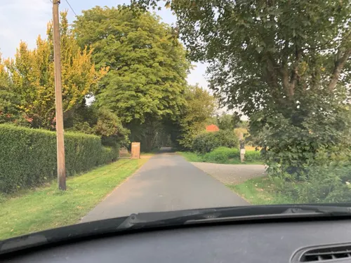
Weindiele® M.K. Weinhandel UG (haftungsbeschränkt)
Brewery and winery · 3.5 km
Biowein Fachhandel, Bioland und Demeter zertifiziert, Ab Hof Verkauf, Einzelhandel und Großhandel
10 Lange Wischen, Westerstede
Mo-Fr 09:00-17:00, Th 09:00-19:00, Sa 09:00-13:00
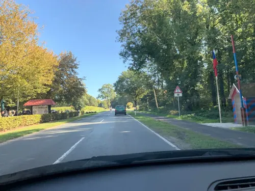
Zur Schanze - Restaurant und Hotel
Restaurant · German · 6.4 km
717 Hauptstraße, Apen
Tu-Fr 12:00-21:00; Sa-Su 10:00-21:00
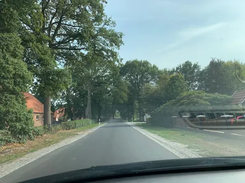
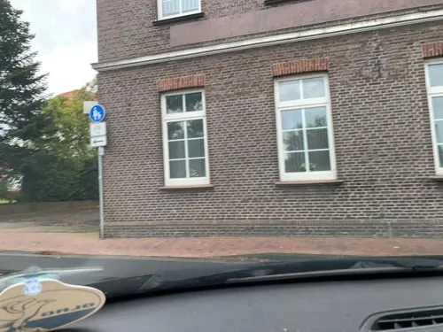
Bistro Cappuccino
Restaurant
50 Streichenstraße, Apen
Mo,We,Th 16:00-18:00+; Fr,Sa 12:00-14:00,16:00-18:00+; Su,PH 12:00-18:00+


Kleine Pause bei Moritz
Restaurant · Ice Cream, Wine · 3.5 km
Fahrrad Rastplatz mit Weinausschank und Verkauf. Weingarten, Rastmöglichkeit, Toiletten, Picknick Tische
10 Lange Wischen, Westerstede

32 more on the map.
History
The first historical mentions of Apen date to around 1230, when the Knights of Apen provided military service to the Count of Oldenburg. At that time, it was an important border town on the water and land route to East Frisia. The St. Nikolai Church was built around this time. The first windmill in the Ammerland region was built in Apen in 1340. Apen was the most important fortress town in the Ammerland region against the East Frisian "foreigners" for centuries.
In 1457, Apen was destroyed in a feud between the East Frisians and Oldenburgers. In the following years, there were repeated fires in Apen, for example in 1465, 1468, and 1473. The fortress of Apen was captured by the Prince Bishop of Münster in 1538. In 1582, Count Johann von Oldenburg established two markets in Apen. The traditional autumn market is still celebrated every year. The fortress of Apen, built around 1515, was expanded into a fort between 1710 and 1730, and was demolished between 1773 and 1780. Only the former moat of the fortress still exists today.
In 1850, the newly founded Augustfehn I-III peat colonies experienced significant industrial development and contributed significantly to the industrialization of the Oldenburg region in the 19th century. The Augustfehn ironworks played a particularly important role in this development.
From the History section of Apen on Wikipedia, under CC BY-SA 4.0.
Where to stay8
Churches and places of worship10
Friedhofsvereinigung Ocholt-Howiek e.V.
Place of worship · 5.1 km
47 Godensholter Straße, Westerstede
Evangelisch-Freikirchliche Gemeinde Augustfehn
Church · 3.0 km
62 Osterkamp, Apen
Shopping12
Gas and EV charging10
Schools, colleges and libraries7
Healthcare4
Map of Apen
146 places. The map loads OpenStreetMap tiles when you open it.
Getting there and nearby towns
JadeWeserAirport (WVN) is the nearest airport with scheduled flights listed in OpenStreetMap, 35 km away.
- Barßel 7 km southwest, about 7 min by car
- Westerstede 9 km northeast, about 9 min by car
- Detern 10 km west, about 10 min by car
- Bad Zwischenahn 14 km east, about 14 min by car
- Ostrhauderfehn 16 km southwest, about 16 min by car
- Friedeburg 26 km north, about 26 min by car
- Oldenburg 28 km east, about 28 min by car
- Emstek 49 km southeast, about 49 min by car
- Bremerhaven 63 km northeast, about 1 h by car
- Bremen 68 km east, about 1 h 15 min by car
Drive times are estimates from straight-line distance, not routes.
Local news
Headlines from INDB.
Reviews, tips and questions
Loading what members have shared...
Sources and licences
- GeoNames (CC BY 4.0): population, coordinates, regions and time zone
- Mapillary (see each image): photos
- OpenStreetMap contributors (ODbL 1.0): places, airports, map data
- Wikidata (CC0 1.0): elevation, founding date, time zone, website
- Wikimedia Commons (see each image): photos
- Wikipedia (CC BY-SA 4.0): overview and history text
Photo credits
- Rathausmarkt in Apen mit Rathaus, Kirche & Glockenturm, JoachimKohler-HB, CC BY-SA 4.0
- Schinken Museum in Apen (Hauptstr. 212), JoachimKohler-HB, CC BY-SA 4.0
- Hauptstr. 114 in Apen, JoachimKohler-HB, CC BY-SA 4.0
- E-Bike Station in Apen (2022), JoachimKohler-HB, CC BY-SA 4.0
- Schulen in Apen (2022), JoachimKohler-HB, CC BY-SA 4.0
- In der Nikolaikirche in Apen (2022), JoachimKohler-HB, CC BY-SA 4.0
- Glockenturm und St. Nikolai-Kirche in Apen, JoachimKohler-HB, CC BY-SA 4.0
- Glockenturm von St. Nikolai in Apen, JoachimKohler-HB, CC BY-SA 4.0
- Glockenturm & Alter Friedhof in Apen, JoachimKohler-HB, CC BY-SA 4.0
- Rathaus Apen Eingangsbereich (2022), JoachimKohler-HB, CC BY-SA 4.0
- Rathausmarkt und Schulen in Apen (2022), JoachimKohler-HB, CC BY-SA 4.0
- Rathaus Gemeinde Apen (Landkreis Ammerland), JoachimKohler-HB, CC BY-SA 4.0
- Orgel der Nikolaikirche in Apen, JoachimKohler-HB, CC BY-SA 4.0
- Grabplatte von 1699 im Durchgang des Glockenturms Apen (2022), JoachimKohler-HB, CC BY-SA 4.0
- Grabplatte im Durchgang des Glockenturms Apen (2022), JoachimKohler-HB, CC BY-SA 4.0
- Altar & Kanzel Nikolaikirche Apen, JoachimKohler-HB, CC BY-SA 4.0
- Alter Friedhof & Nikolaikirche in Apen, JoachimKohler-HB, CC BY-SA 4.0
- Nikolaikirche & Alter Friedhof in Apen (2022), JoachimKohler-HB, CC BY-SA 4.0
- Wohnhaus Hauptstr. 246 in Apen (Baudenkmal ID 35626632), JoachimKohler-HB, CC BY-SA 4.0
- Wohnhaus Hauptstr. 246 in Apen, erbaut 1908, JoachimKohler-HB, CC BY-SA 4.0
- Osterende 37 in Apen (2022), JoachimKohler-HB, CC BY-SA 4.0
- Wohnhaus Hauptstr. 246 in Apen (Haustür), JoachimKohler-HB, CC BY-SA 4.0
- Projekt Storchennest des Ortsbürgerverein Apen e.V. (2023), JoachimKohler-HB, CC BY-SA 4.0
- Hengstforder Mühle in Apen (2024), JoachimKohler-HB, CC BY-SA 4.0
- Apen, kerk foto2 2010-05-15 15.53, Michielverbeek, CC BY-SA 3.0
- Kapelle in Vreschen-Bokel, Helmut Behrends, Freesenweg 41, D-26131 Oldenburg, CC BY-SA 3.0 de
- Ocholt Kirche (2), Reise Reise, CC BY-SA 3.0
- Barßel - Hafenstraße - Cosmas und Damian 02 ies, Frank Vincentz, CC BY-SA 3.0
- Ocholt Grundschule (1), Reise Reise, CC BY-SA 3.0
- Aper Brückenbauer, Gemeinde Apen, CC BY-SA 4.0
- Große Süderbäke (Apermarsch, 2022), JoachimKohler-HB, CC BY-SA 4.0
- Massey Ferguson MF 158 Traktor (2023), JoachimKohler-HB, CC BY-SA 4.0
- Case IH Puma 160 CVX Traktor (2023), JoachimKohler-HB, CC BY-SA 4.0
- Case IH Puma 165 Multicontroller Traktor (2023), JoachimKohler-HB, CC BY-SA 4.0
- Case IH Puma 175 CVXDrive, JoachimKohler-HB, CC BY-SA 4.0
- 4E826 Aper Storchnachwuchs 2023, JoachimKohler-HB, CC BY-SA 4.0
- Street-level photo, deleted_user, CC BY-SA 4.0
- Street-level photo, deleted_user, CC BY-SA 4.0
- Street-level photo, deleted_user, CC BY-SA 4.0
- Street-level photo, deleted_user, CC BY-SA 4.0
- Street-level photo, deleted_user, CC BY-SA 4.0
- Street-level photo, hotteliene, CC BY-SA 4.0
- Street-level photo, deleted_user, CC BY-SA 4.0
- Street-level photo, deleted_user, CC BY-SA 4.0
- Street-level photo, deleted_user, CC BY-SA 4.0
- Street-level photo, deleted_user, CC BY-SA 4.0
- Street-level photo, deleted_user, CC BY-SA 4.0
- Street-level photo, deleted_user, CC BY-SA 4.0
- Street-level photo, deleted_user, CC BY-SA 4.0
- Street-level photo, hotteliene, CC BY-SA 4.0
- Street-level photo, hotteliene, CC BY-SA 4.0
- Street-level photo, deleted_user, CC BY-SA 4.0
- Street-level photo, deleted_user, CC BY-SA 4.0
- Street-level photo, deleted_user, CC BY-SA 4.0
- Street-level photo, deleted_user, CC BY-SA 4.0
- Street-level photo, hendel, CC BY-SA 4.0
- Street-level photo, hotteliene, CC BY-SA 4.0
- Street-level photo, deleted_user, CC BY-SA 4.0
- Street-level photo, deleted_user, CC BY-SA 4.0
- Street-level photo, deleted_user, CC BY-SA 4.0
- Street-level photo, deleted_user, CC BY-SA 4.0
- Street-level photo, deleted_user, CC BY-SA 4.0
- Street-level photo, deleted_user, CC BY-SA 4.0
- Street-level photo, deleted_user, CC BY-SA 4.0
- Street-level photo, deleted_user, CC BY-SA 4.0
- Street-level photo, hendel, CC BY-SA 4.0


Page built November 8, 2026. Spotted a mistake? Tell us or suggest a place.