


Why visit Bakum
Townapedia lists 22 museums and landmarks, 23 parks and trails, 110 places to eat, 14 places to stay and 11 attractions in and around town.
Highlights include Arche Wilhelminenhof, Hofladen im Ferienhof Repke, Borgerdings Mühle and Museum im Zeughaus.
Weather in Bakum
Forecast from MET Norway (CC BY 4.0). Full forecast
About Bakum
Bakum is a municipality in the district of Vechta, in Lower Saxony, Germany. It is situated in the Vechta district in western Lower Saxony. Bakum lies on the A1 freeway between Bremen and Osnabrück.
From the Wikipedia article Bakum (this version), under CC BY-SA 4.0.
Things to do11

Arche Wilhelminenhof
Farm and orchard · 2.6 km
2 Große Heide, Bakum
Mo-Fr 14:00-19:00; Sa 10:00-16:00; Su,PH off
Hofladen im Ferienhof Repke
Farm and orchard · 6.1 km
4 Zum Moorfeld, Emstek
Sa-Su 14:00-18:00, Mo 15:00-18:00

Der Dorf- & Hofladen
Farm and orchard · 4.5 km
Hofladen mit Verkauf von Getränken, Eiern, Eis
24/7
Hof Gisela
Farm and orchard · 6.1 km
10 Stoppelmarkt, Vechta
Mo-Su 09:00-12:00, 14:00-18:00
Hofladen Ellmamn
Farm and orchard · 6.4 km
Hofladen mit Verkauf regionaler Produkte, u.a. Getränke, Kartoffeln, Eis
24/7
Bauernhof-Eis Kalkhoff
Farm and orchard · 1.8 km
Apr-Sep: Fr-Su 13:00-19:00; Oct-Mar: We-Fr 13:00-18:00; Oct-Mar:...


Museums and landmarks22

Borgerdings Mühle
Monument and historic site · 4.8 km
19a Zur Spredaer Mühle, Vechta
Th-Fr 14:00-18:00, Sa-Su 13:00-18:00

Museum im Zeughaus
Museum · 5.8 km
15 Zitadelle, Vechta
Tu-Su 14:00-18:00; PH unknown



Gedenkstätte für die Menschenwürde
Monument and historic site · 7.5 km
10 more on the map.
Parks, trails and playgrounds23

Hallenwellen- und Freibad Vechta
Sports field and stadium · 6.7 km
45 Dornbusch, Vechta
Mo,Tu,Th,Fr 06:30-08:00,15:00-21:00; We 06:30-08:00; Sa,Su...

RASTA Dome
Sports field and stadium · 4.4 km
8 Pariser Straße, Vechta



11 more on the map.
Restaurants and cafes110
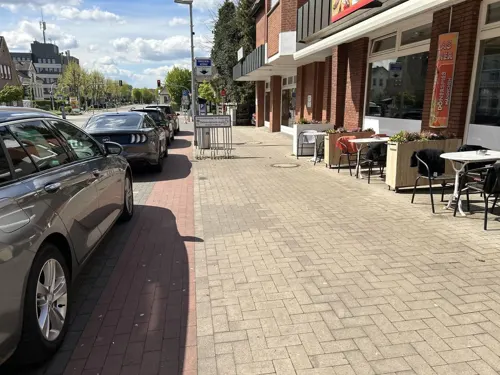
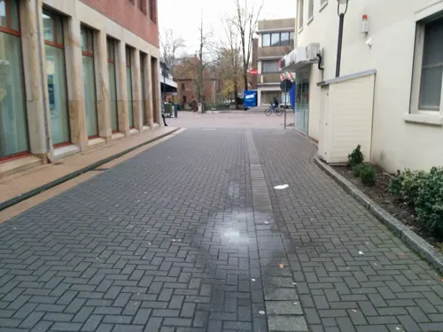
Melchers 1715
Restaurant · International · 6.2 km
2 Markt, Vechta
Mo-Su 09:30-11:30,12:00-14:30,17:30-22:00
Ali Baba
Restaurant · Pizza, Turkish, Kebab · 6.6 km
47 Münsterstraße
Mo-Tu 15:00-23:00; We-Fr 11:00-22:30; Sa-Su 12:00-22:30

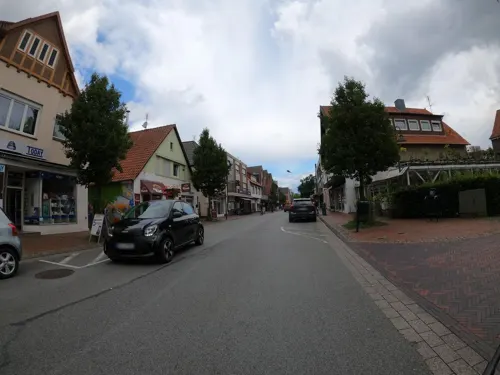
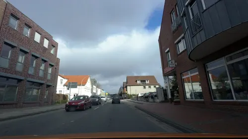
Jade Garden
Restaurant · Chinese · 6.4 km
4 Oldenburger Straße, Vechta
Tu-Th,Su 11:30-14:30, 17:30-22:30; Fr,Sa 11:30-14:30, 17:30-23:00; Mo off

Mühlencafé & Restaurant Borgerding
Cafe · Coffee Shop, Regional, Breakfast, German, Cake, Tea, Pastry, Brunch · 4.8 km
19a Zur Spredaer Mühle, Vechta
Th-Fr 14:00-18:00, Sa-Su 13:00-18:00, "Montag-Mittwoch nach Vereinbarung"
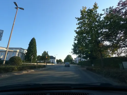
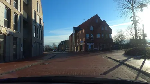
Sefis
Restaurant · Regional, German, Burger
13 Kirchstraße, Bakum
Mo-Tu off; We-Sa 09:00-12:00,18:00-22:00; Su 09:00-21:00
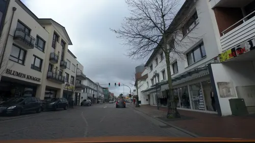


Tor11
Restaurant · Asian, Sushi · 6.4 km
11 Bremer Tor, Vechta
Mo,We,Th 11:00-22:00; Fr,Sa 11:00-23:00; Su 12:00-22:00
98 more on the map.
Where to stay14
Churches and places of worship21
Baitul Qadir Mosque
Place of worship · Ahmadiyya · 5.6 km
9 Gutenbergstraße, Vechta
Shopping28
Gas and EV charging14
International Diesel Service Q8
Gas station · 2.1 km
1 Rudolf-Diesel-Straße, Bakum
Schools, colleges and libraries39
Private Hochschule für Wirtschaft und Technik Vechta/Diepholz/Oldenburg
School · 6.0 km
40 Rombergstraße, Vechta
Kolleg St. Thomas der Dominikaner
School · 7.3 km
45 Dominikanerweg, Vechta
Healthcare10
Map of Bakum
250 places. The map loads OpenStreetMap tiles when you open it.
Getting there and nearby towns
Flugplatz Varrelbusch (VAC) is the nearest airport with scheduled flights listed in OpenStreetMap, 21 km away.
- Vechta 6 km east, about 6 min by car
- Lohne 9 km south, about 9 min by car
- Cappeln 9 km northwest, about 9 min by car
- Dinklage 10 km southwest, about 10 min by car
- Emstek 11 km north, about 11 min by car
- Visbek 13 km northeast, about 13 min by car
- Cloppenburg 15 km northwest, about 15 min by car
- Goldenstedt 17 km east, about 17 min by car
- Steinfeld 17 km south, about 17 min by car
- Essen 18 km west, about 18 min by car
Drive times are estimates from straight-line distance, not routes.
Local news
Headlines from INDB.
Reviews, tips and questions
Loading what members have shared...
Sources and licences
- GeoNames (CC BY 4.0): population, coordinates, regions and time zone
- Mapillary (see each image): photos
- OpenStreetMap contributors (ODbL 1.0): places, airports, map data
- Wikidata (CC0 1.0): elevation, founding date, time zone, website, landmarks and historic places
- Wikimedia Commons (see each image): photos
- Wikipedia (CC BY-SA 4.0): overview and history text
Photo credits
- Bakum Voss-Epitaph, Corradox, CC BY-SA 3.0
- Bakum St. Johannes Baptist 2, Corradox, CC BY-SA 4.0
- Bakum Ehrenmal, Path2018, CC BY-SA 4.0
- Katholische Kirche Bakum, Willi Lohmann, CC BY-SA 4.0
- Orgel St. Johannes Baptist Bakum, Benutzername246, CC BY-SA 4.0
- Baudenkmal Bakum Grotte, Path2018, CC BY-SA 4.0
- Dorfpark Bakum 4, Corradox, CC BY 4.0
- Bakum Gethsemane-Kirche 2, Corradox, CC BY-SA 4.0
- Bakum Gethsemane-Kirche, Corradox, CC BY-SA 4.0
- Dorfpark Bakum 1, Corradox, CC BY 4.0
- Dorfpark Bakum 3, Corradox, CC BY 4.0
- Bakum Gethsemane-Kirche 3, Corradox, CC BY-SA 4.0
- Bakum Ostergarten 2, Corradox, CC BY-SA 4.0
- Langförden St. Laurentius 2, Langförden_St._Laurentius.JPG : Corradox derivative work: Rabanus Flavus ( talk ), CC BY-SA 3.0
- RASTA-Homep, SN394, CC BY-SA 4.0
- Kolleg St Thomas der Dominikaner Altbau, Kony, CC BY-SA 4.0
- Vechta Propsteikirche St Georg, Hans A. Rosbach (Alterations by Rabanus Flavus, CC BY-SA 3.0
- St. Vitus, Vestrup, Sichi77, CC BY-SA 4.0
- Schwichteler Christinenhof 1, Corradox, CC BY-SA 4.0
- Vechta Auferstehungskirche, Corradox, CC BY-SA 4.0
- Die Ludgerus-Schule in Vechta von Süden, Mr2187, CC BY-SA 4.0
- Altarraum St. Johannes Evangelist Kirche in Bakum-Carum, Ludger Sunder-Plassmann, CC BY-SA 4.0
- Hörsaalgebäude "Q", S-M-D aV, CC BY-SA 4.0
- Zitadelle Vechta 1697 Vogelschau, P. B. von Smidts, Public domain
- Hagen (Vechta) Gedächtnisstätte 1, Corradox, CC BY 4.0
- D̴̼͉̺̝̙͎̙̩͍͈͈͇̼̲͙̈́̒̇͋̃͆̑̂̏͝b, Patryka17, CC BY-SA 4.0
- FRCM (Fiber Reinforced Cementitius Matrix), Wang, Fayu, CC BY 4.0
- Vechta Museum im Zeughaus, Corradox, CC BY-SA 3.0
- Vechta Castrum Vechtense Burgbelebung 4, Corradox, CC BY 4.0
- Street-level photo, hendel, CC BY-SA 4.0
- Street-level photo, Schmarvis, CC BY-SA 4.0
- Street-level photo, Thorsten_69, CC BY-SA 4.0
- Street-level photo, cfbolz, CC BY-SA 4.0
- Street-level photo, jmsbert, CC BY-SA 4.0
- Street-level photo, cfbolz, CC BY-SA 4.0
- Street-level photo, VIA_KK, CC BY-SA 4.0
- Street-level photo, cfbolz, CC BY-SA 4.0
- Street-level photo, moenk, CC BY-SA 4.0
- Street-level photo, moenk, CC BY-SA 4.0
- Street-level photo, camdrive2000, CC BY-SA 4.0
- Street-level photo, camdrive2000, CC BY-SA 4.0
- Street-level photo, Schnakel76, CC BY-SA 4.0
- Street-level photo, VIA_KK, CC BY-SA 4.0
- Street-level photo, VIA_KK, CC BY-SA 4.0
- Street-level photo, VIA_KK, CC BY-SA 4.0
- Street-level photo, camdrive2000, CC BY-SA 4.0
- Street-level photo, moenk, CC BY-SA 4.0
- Street-level photo, VIA_KK, CC BY-SA 4.0
- Street-level photo, Thorsten_69, CC BY-SA 4.0
- Street-level photo, hendel, CC BY-SA 4.0
- Street-level photo, moenk, CC BY-SA 4.0
- Street-level photo, moenk, CC BY-SA 4.0
- Street-level photo, Thorsten_69, CC BY-SA 4.0
- Street-level photo, VIA_KK, CC BY-SA 4.0


Page built November 9, 2026. Spotted a mistake? Tell us or suggest a place.