


Why visit Cloppenburg
Townapedia lists 70 museums and landmarks, 44 parks and trails, 127 places to eat, 13 places to stay and 6 attractions in and around town.
Highlights include CineCenter Cloppenburg, Hofladen Lüske, Burg Cloppenburg and Cloppenburg Museum Village.
Weather in Cloppenburg
Forecast from MET Norway (CC BY 4.0). Full forecast
About Cloppenburg
Cloppenburg (German: [ˈklɔpm̩ˌbʊʁk] ; Low German: Cloppenborg; Saterland Frisian: Kloppenbuurich [ˈklɔpənˌbuːrɪx]) is a town in Lower Saxony, in north-western Germany, capital of Cloppenburg District and part of Oldenburg Münsterland. It lies 38 km south-south-west of Oldenburg in the Weser-Ems region between Bremen and the Dutch border. Cloppenburg is not far from the A1, the major motorway connecting the Ruhr area to Bremen and Hamburg. Another major road is the federal highway B213 being the shortest link from the Netherlands to the A1 and thus to Bremen and Hamburg.
From the Wikipedia article Cloppenburg (this version), under CC BY-SA 4.0.
Photos of Cloppenburg


Things to do6


Lütge Schapp
Farm and orchard · 3.3 km
Direktvermarktung (Fruchtaufstrich, Kompott, eingekochtes Gemüse, Frischgemüse, Obst), Nordische Sachen / Holzkunst
50 Huntestraße, Cloppenburg
Wild- und Tannenhof Giese
Farm and orchard · 4.0 km
77 Ahlhorner Straße, Cloppenburg
Museums and landmarks70


Cloppenburg Museum Village
Museum
Open-air-museum in Cloppenburg, Lower Saxony, Germany (1934-)



Kulturbahnhof Cloppenburg
Museum · 0.7 km
82 Bahnhofstraße, Cloppenburg
We 15:00-18:00; Su 11:00-18:00
KunstHalle im Kulturbahnhof
Museum · 0.6 km
82 Bahnhofstraße, Cloppenburg
We 15:00-18:00; Su 11:00-18:00
58 more on the map.
Parks, trails and playgrounds44
Museumsdorf Cloppenburg
Sports field and stadium
6 Bether Straße, Cloppenburg
Mar-Oct Mo-Su,PH 10:00-18:00; Nov-Feb Mo-Su,PH 10:00-16:30; Dec...

Soestebad Cloppenburg
Sports field and stadium
28 Hagenstraße, Cloppenburg
Mo 15:00-20:00; Tu 06:30-08:00,15:00-21:00; We 15:00-21:00; Th...


Wetterschutzhütte
Park · 6.3 km
Picknickplatz und Schutzhütte
Grüner Weg, Varrelbusch
32 more on the map.
Restaurants and cafes127
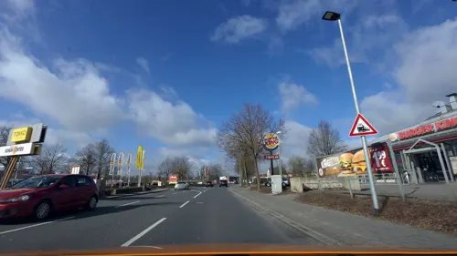
GS Café
Cafe · 0.7 km
43 Emsteker Straße, Cloppenburg
Mo-Sa 06:00-22:00; Su 07:00-22:00; Dec 24 07:00-16:00; Dec...
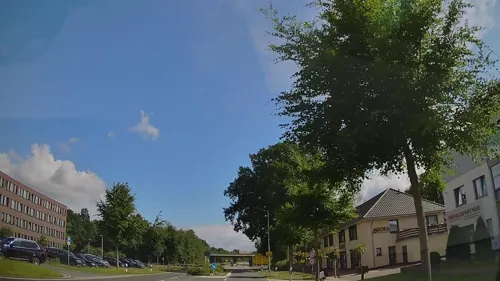
Agora
Restaurant · Greek, Italian, Mediterranean, Pasta, Pizza · 1.5 km
66 Bether Straße, Cloppenburg
Mo-Sa 17:30-24:00; Su,PH 12:00-15:00,17:30-23:00
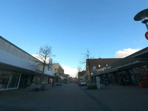
Aladin
Restaurant · Turkish
8-12 Bahnhofstraße, Cloppenburg
Mo-Tu,Th-Sa 11:00-22:00; We off; Su 12:00-22:00
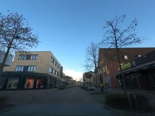
Franzmann
Restaurant · Sandwich
8-12 Bahnhofstraße, Cloppenburg
Tu-Sa 10:00-22:00; Su 12:00-21:00; Mo off
Saisonal
Restaurant
So können wir traditionelle Hausmannskost, aber auch außergewöhnliche Speisen Ihnen zu einem fairen Preis servieren.
1-3 Auf dem Hook, Cloppenburg
Mo-Sa 17:30-22:00; Su 11:30-14:30; We off

Bernay's
Bar and pub
Café; bar; pub; liveclub
20 - 22 Mühlenstraße, Cloppenburg
Mo-Fr 11:00-18:00+; Sa 10:00-18:00+; Su 14:00-18:00+

Imbiss Meyer
Restaurant · German · 1.1 km
26 Löninger Straße, Cloppenburg
Tu-Sa 11:00-21:00; Su,PH 16:00-21:00; Mo off
Pizzeria Da Capo
Restaurant · Pizza
20-22 Mühlenstraße, Cloppenburg
Mo,We-Sa 12:00-22:00; Su 15:00-22:00; Tu off
Restaurant & Bauern CAFE Döpke
Restaurant · Regional · 4.7 km
1 Friesoyther Straße, Garrel
Mo off; Tu,We 09:00+; Th-Su,PH 09:00+
115 more on the map.
History
Under Nazi Germany, it was the location of a forced labour subcamp of the prison in Vechta and a camp for Sinti and Romani people (see Romani Holocaust).
The town had strong cultural links with St Munchins Parish in Limerick, Ireland from the 1970s to the 1990s. During this period many groups of teens/young adults from both areas visited and were hosted by families from the other area.
From the History section of Cloppenburg on Wikipedia, under CC BY-SA 4.0.
More about Cloppenburg
Economy
The town is a centre for the largely agricultural region of southern Oldenburg. It is the administrative centre of the district and there are many schools.
However, there is also some industry in town: e.g. Lumberg (connector systems) and Derby Cycle (bikes).
Arts and culture
One of Cloppenburg's main tourist attractions is the Cloppenburg Museum Village, an open-air museum containing a collection of old buildings from the region that were dismantled and reassembled in the museum.
From the Wikipedia article Cloppenburg, under CC BY-SA 4.0.
Notable people from Cloppenburg
- Werner BaumbachGerman bomber pilot (1916–1953)
- Fanny MoranGerman singer and opera singer (1855–1905)
- Laurenz BergesGerman artist (born 1966)
- Laurentius SiemerGerman priest (1888-1956)
Born in Cloppenburg, according to Wikidata (CC0). Each name links to its Wikipedia article.
Where to stay13
Jugendzeltplatz am Dorfgemeinschaftshaus Resthausen/Stalförden
Campground · 6.0 km
Churches and places of worship22
St. Peter und Paul
Church · Catholic · 6.0 km
28 Große Straße, Cappeln (Oldenburg)
Shopping46
Gas and EV charging15
Schools, colleges and libraries31
Healthcare12
Ambulantes Dialysezentrum - St. Josefs-Hospital Cloppenburg
Clinic and pharmacy · 0.7 km
Map of Cloppenburg
250 places. The map loads OpenStreetMap tiles when you open it.
Getting there and nearby towns
Flugplatz Varrelbusch (VAC) is the nearest airport with scheduled flights listed in OpenStreetMap, 7 km away.
- Cappeln 6 km southeast, about 6 min by car
- Emstek 8 km east, about 8 min by car
- Molbergen 8 km west, about 8 min by car
- Garrel 12 km north, about 12 min by car
- Lastrup 13 km southwest, about 13 min by car
- Essen 16 km southwest, about 16 min by car
- Bakum 15 km southeast, about 15 min by car
- Großenkneten 17 km northeast, about 17 min by car
- Visbek 18 km east, about 18 min by car
- Bösel 19 km north, about 19 min by car
Drive times are estimates from straight-line distance, not routes.
Towns near Cloppenburg


Keep exploring
Local news
Headlines from INDB.
Reviews, tips and questions
Loading what members have shared...
Sources and licences
- GeoNames (CC BY 4.0): population, coordinates, regions and time zone
- Mapillary (see each image): photos
- OpenStreetMap contributors (ODbL 1.0): places, airports, map data
- Wikidata (CC0 1.0): elevation, founding date, time zone, website, landmarks and historic places
- Wikimedia Commons (see each image): photos
- Wikipedia (CC BY-SA 4.0): overview and history text
Photo credits
- Museumsdorf Cloppenburg (2), Krzysztof Golik, CC BY-SA 4.0
- Museumsdorf Cloppenburg (3), Krzysztof Golik, CC BY-SA 4.0
- Museumsdorf Cloppenburg (1), Krzysztof Golik, CC BY-SA 4.0
- Altes Amtshaus in Cloppenburg (5), Krzysztof Golik, CC BY-SA 4.0
- Altes Amtshaus in Cloppenburg (4), Krzysztof Golik, CC BY-SA 4.0
- Altes Amtshaus in Cloppenburg (3), Krzysztof Golik, CC BY-SA 4.0
- Altes Amtshaus in Cloppenburg (2), Krzysztof Golik, CC BY-SA 4.0
- Altes Amtshaus in Cloppenburg (1), Krzysztof Golik, CC BY-SA 4.0
- Courthouse in Cloppenburg (1), Krzysztof Golik, CC BY-SA 4.0
- Courthouse in Cloppenburg (2), Krzysztof Golik, CC BY-SA 4.0
- Courthouse in Cloppenburg (6), Krzysztof Golik, CC BY-SA 4.0
- Courthouse in Cloppenburg (3), Krzysztof Golik, CC BY-SA 4.0
- Amtsgericht Cloppenburg Gebäude 2, Allie_Caulfield from Germany, CC BY 2.0
- Amtsgericht Cloppenburg Gebäude 1, Allie_Caulfield from Germany, CC BY 2.0
- Remains of the Cloppenburg Castle (1), Krzysztof Golik, CC BY-SA 4.0
- Remains of the Cloppenburg Castle (3), Krzysztof Golik, CC BY-SA 4.0
- Remains of the Cloppenburg Castle (2), Krzysztof Golik, CC BY-SA 4.0
- Courthouse in Cloppenburg (4), Krzysztof Golik, CC BY-SA 4.0
- Courthouse in Cloppenburg (5), Krzysztof Golik, CC BY-SA 4.0
- Freilichtmuseum Cloppenburg Schusterwerkstatt 17RM3582, Ermell, CC BY-SA 4.0
- Rhododendron cultivar, Cloppenburg (DE) P6244302, Roman Köhler, Public domain
- Kniphofia, Cloppenburg (DE) P6244250, Roman Köhler, Public domain
- Sempervivum, Cloppenburg (DE)P6033550, Roman Köhler, Public domain
- Lavatera olbia, Cloppenburg (DE)P6244307, Roman Köhler, Public domain
- Sisyrinchium bellum, Cloppenburg (DE)P5303462, Roman Köhler, Public domain
- Papaver somniferum, Cloppenburg (DE)P6244221, Roman Köhler, Public domain
- Cloppenburg Museumsdorf Arkenstede, Corradox, CC BY-SA 3.0
- Cloppenburg castle, Carsten Niehaus ( Lumbar ), CC BY-SA 1.0
- Cloppenburg cag oldbuilding, Carsten Niehaus ( Lumbar ), Public domain
- Innenansicht der Kirche St. Aloysius in der Weihnachtszeit, Volker.Ramsloh, CC BY-SA 4.0
- Bethen Wallfahrtsbasilika, Rabanus Flavus, Public domain
- St. Augustinus Cloppenburg 1, Gerd Fahrenhorst, CC BY 4.0
- St. Peter und Paul, Cappeln, Sichi77, CC BY-SA 4.0
- Saint Joseph church in Cloppenburg (1), Krzysztof Golik, CC BY-SA 4.0
- Cloppenburg Museumsdorf Wehlburg, Corradox, CC BY-SA 3.0
- Vechta landkreis Elsten Quatmann Hof 1885 mainhouse IMG 7676 cloppenburg museumsdorf, Bjoertvedt, CC BY-SA 4.0
- Stapelfeld Heilig-Kreuz-Kirche, Corradox, CC BY-SA 4.0
- Stolperstein Cloppenburg Garreler Weg 12 Günther Frank, Gmbo 2013, CC0
- Stolperstein Cloppenburg Auf dem Hook 2 Hannelore Sotoloff, Gmbo 2013, CC0
- Stolperstein Cloppenburg Auf dem Hook 2 Hans Willner, Gmbo 2013, CC0
- Sevelter-Kirche-2, Christian Eckhardt, Public domain
- Street-level photo, moenk, CC BY-SA 4.0
- Street-level photo, moenk, CC BY-SA 4.0
- Street-level photo, lumbar, CC BY-SA 4.0
- Street-level photo, moenk, CC BY-SA 4.0
- Street-level photo, jmsbert, CC BY-SA 4.0
- Street-level photo, camdrive2000, CC BY-SA 4.0
- Street-level photo, lumbar, CC BY-SA 4.0
- Street-level photo, jmsbert, CC BY-SA 4.0
- Street-level photo, lumbar, CC BY-SA 4.0
- Street-level photo, hendel, CC BY-SA 4.0
- Street-level photo, jmsbert, CC BY-SA 4.0
- Street-level photo, jmsbert, CC BY-SA 4.0
- Street-level photo, jmsbert, CC BY-SA 4.0
- Street-level photo, jmsbert, CC BY-SA 4.0
- Street-level photo, camdrive2000, CC BY-SA 4.0


Page built November 9, 2026. Spotted a mistake? Tell us or suggest a place.