


Why visit Goldenstedt
Townapedia lists 26 museums and landmarks, 26 parks and trails, 28 places to eat, 4 places to stay and 4 attractions in and around town.
Highlights include Feldhaus, Hof Kock, Bredemeyers Hof and Arkeburg.
Weather in Goldenstedt
Forecast from MET Norway (CC BY 4.0). Full forecast
About Goldenstedt
Goldenstedt is a municipality in the district of Vechta, in Lower Saxony, Germany. It is situated on the river Hunte, approximately 12 km northeast of Vechta.
From the Wikipedia article Goldenstedt (this version), under CC BY-SA 4.0.
Things to do4

Feldhaus
Farm and orchard · 2.1 km
Geflügelspezialitäten,Salate, Suppen und Eintöpfe
12b Bruchweidenstraße
Fr 10:00-18:00


Museums and landmarks26



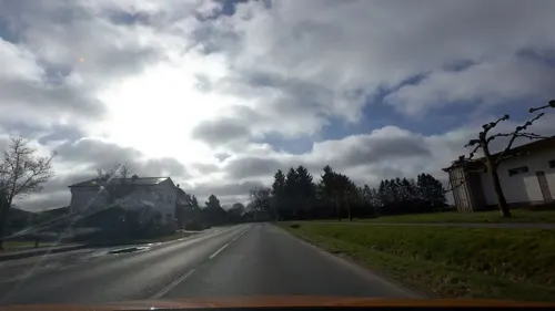
Ostdeutsche Heimat- und Trachtenstuben
Museum · 1.4 km
12 Wildeshauser Straße, Goldenstedt
"Nach Vereinbarung"

14 more on the map.
Parks, trails and playgrounds26



14 more on the map.
Restaurants and cafes28


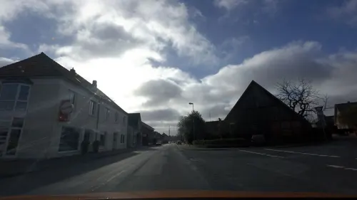
Landbäckerei Diekhaus
Bakery
59 Hauptstraße, Goldenstedt
Mo-Fr 05:30-18:00; Su 07:30-12:00; Sa 05:30-16:30
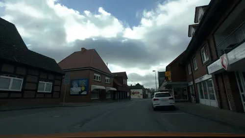
Bäckerei Heitmann
Cafe · 6.7 km
1 Am Tunnel, Visbek
Mo-Th 05:00-12:30,14:30-18:00; Fr,Sa 05:00-12:30; Su 07:00-11:00
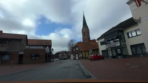
Eiscafe Cortina
Cafe · Ice Cream
23 Hauptstraße, Goldenstedt
11:00-21:00
Pizzeria Bronto
Restaurant · Pizza, Kebab · 6.7 km
12 Große Straße, Goldenstedt
Mo off; Tu-Sa 11:30-21:30; Su,PH 14:00-21:30
Schützenhof Rechterfeld kleines deutsches Haus
Restaurant · German · 6.5 km
Restaurant, Kneipe, Biergarten, Saalbetrieb, Kegelbahn, Schiesssportanlage
24 Dorfstraße, Visbek
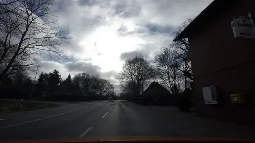
Gasthaus Wübbeler
Restaurant · Regional · 1.2 km
91 Hauptstraße, Goldenstedt

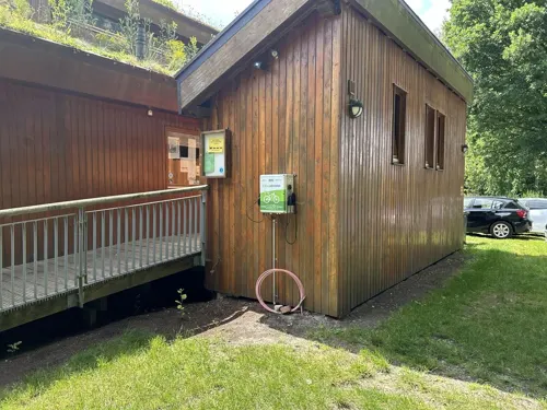


Naturschutzzentrum «Haus im Moor»
Cafe · 7.3 km
22 Arkeburger Straße, Goldenstedt
Dec-Feb closed; Mar Su 13:00-18:00; Nov Su 13:00-18:00; Apr-Oct Sa...
16 more on the map.
Where to stay4
Churches and places of worship10
St. Marien Kirche Colnrade
Church · Lutheran · 4.8 km
5 Kirchstraße, Colnrade
St. Heinrich Kirche
Church · Catholic · 3.2 km
4a Ellenstedter Straße, Goldenstedt
Shopping9
Lorenz Snackworld Fabrikverkauf
Shopping center · 0.7 km
3 Barnstorfer Straße, Goldenstedt
Gas and EV charging8
Schools, colleges and libraries6
Healthcare3
Map of Goldenstedt
124 places. The map loads OpenStreetMap tiles when you open it.
Getting there and nearby towns
Flugplatz Varrelbusch (VAC) is the nearest airport with scheduled flights listed in OpenStreetMap, 29 km away.
- Visbek 10 km northwest, about 10 min by car
- Vechta 12 km southwest, about 12 min by car
- Wildeshausen 12 km north, about 12 min by car
- Twistringen 14 km east, about 14 min by car
- Lohne 19 km southwest, about 19 min by car
- Emstek 19 km west, about 19 min by car
- Diepholz 21 km south, about 21 min by car
- Bassum 21 km east, about 21 min by car
- Großenkneten 21 km northwest, about 21 min by car
- Dinklage 25 km southwest, about 25 min by car
Drive times are estimates from straight-line distance, not routes.
Local news
Headlines from INDB.
Reviews, tips and questions
Loading what members have shared...
Sources and licences
- GeoNames (CC BY 4.0): population, coordinates, regions and time zone
- Mapillary (see each image): photos
- OpenStreetMap contributors (ODbL 1.0): places, airports, map data
- Wikidata (CC0 1.0): elevation, founding date, time zone, website
- Wikimedia Commons (see each image): photos
- Wikipedia (CC BY-SA 4.0): overview and history text
Photo credits
- Goldenstedt - Hügelgräberfeld im Wald, XenonX3, CC0
- Goldenstedt Bredemeyers Hof 6, Corradox, CC BY 4.0
- Goldenstedt Bredemeyers Hof 5, Corradox, CC BY 4.0
- Goldenstedt Bredemeyers Hof 3, Corradox, CC0
- Goldenstedt St. Gorgonius 1, Corradox, CC BY-SA 3.0
- 1531579676446.1a8aeb91-9b0f-46f1-b6c7-5666fce9731f, W.w.winkel, CC BY-SA 4.0
- Lutten St. Jacobus Kirche1, Path2018, CC BY-SA 4.0
- 90377 Colnrade Marienkirche, Ulamm ( talk ), CC BY-SA 4.0
- Rechterfeld Kirche, Path2018, CC BY-SA 4.0
- Kirche Colnrade, Kiwi05, CC BY-SA 4.0
- Lutten St. Jacobus Kirche2, Path2018, CC BY-SA 4.0
- Gorgonius, Cosmo3null, CC BY-SA 4.0
- Arkeburg Sachsenhaus Reetdach, Path2018, CC BY-SA 4.0
- Street-level photo, moenk, CC BY-SA 4.0
- Street-level photo, moenk, CC BY-SA 4.0
- Street-level photo, moenk, CC BY-SA 4.0
- Street-level photo, Schnakel76, CC BY-SA 4.0
- Street-level photo, changchun1, CC BY-SA 4.0
- Street-level photo, moenk, CC BY-SA 4.0
- Street-level photo, moenk, CC BY-SA 4.0
- Street-level photo, moenk, CC BY-SA 4.0
- Street-level photo, moenk, CC BY-SA 4.0
- Street-level photo, moenk, CC BY-SA 4.0
- Street-level photo, moenk, CC BY-SA 4.0
- Street-level photo, moenk, CC BY-SA 4.0
- Street-level photo, Thorsten_69, CC BY-SA 4.0
- Street-level photo, moenk, CC BY-SA 4.0


Page built November 9, 2026. Spotted a mistake? Tell us or suggest a place.