


Why visit Bretzfeld
Townapedia lists 35 museums and landmarks, 26 parks and trails, 137 places to eat, 14 places to stay and 17 attractions in and around town.
Highlights include Holi, Scala, motormuseum-oehringen and Schloss Pfedelbach.
Weather in Bretzfeld
Forecast from MET Norway (CC BY 4.0). Full forecast
About Bretzfeld
Bretzfeld (German pronunciation: [ˈbʁɛt͡sˌfɛlt] ) is a municipality in the Hohenlohe district, in Baden-Württemberg, Germany. It is located 17 km (11 mi) east of Heilbronn. There is an exit (Nr. 39) with the same name at the A6 motorway.
From the Wikipedia article Bretzfeld (this version), under CC BY-SA 4.0.
Things to do17
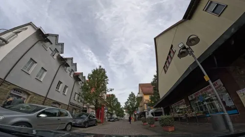
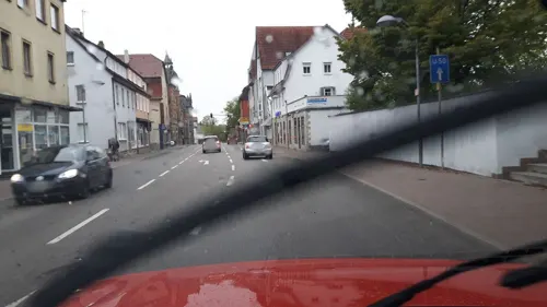

Hofladen Fischer GbR
Farm and orchard · 2.2 km
6, Pfedelbach
We 09:00-13:00; Fr 09:00-18:00; Sa 08:00-14:00




5 more on the map.
Museums and landmarks35
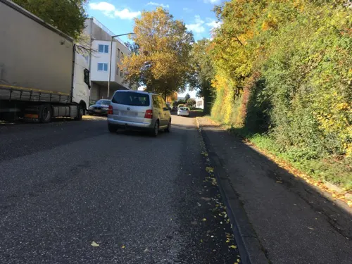

Schloss Pfedelbach
Monument and historic site · 4.8 km
5 Schloßstraße, Pfedelbach


Schloss Affaltrach
Monument and historic site · 6.3 km
15 Am Ordensschloß, Obersulm

Schloss Eschenau
Monument and historic site · 5.3 km
1 Schloßstraße, Obersulm



23 more on the map.
Parks, trails and playgrounds26



14 more on the map.
Restaurants and cafes137


Crazy Loon
Restaurant · Burger · 4.4 km
19 Frühlingsweg
We-Fr 16:00-22:00; Su 11:30-21:00; Sa 14:00-22:00
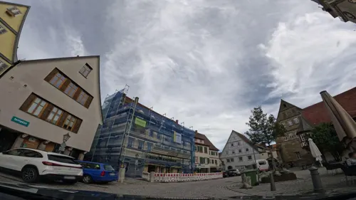
Da Luana
Restaurant · Pizza · 5.2 km
23 Marktstraße
11:30-14:00,17:00-22:00; Tu off; PH 11:30-14:00,17:00-22:00
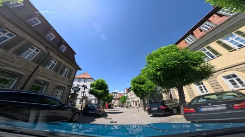
Da Vinci
Restaurant · Italian · 5.4 km
97 Poststraße, Öhringen
Tu-Fr 11:30-13:30,17:00-21:00; Sa 17:00-21:00; Su...
Di Martino
Restaurant · Italian · 4.5 km
4/1 Brunnenfeldstraße, Pfedelbach
Tu-Fr 11:30-14:00,17:30-22:30; Sa 17:30-22:30; Su 11:30-14:30,17:30-22:00
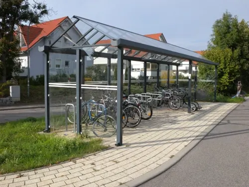
Hotel Restaurant Bahnhof Busch
Restaurant · Regional · 0.7 km
23 Bahnhofstraße, Bretzfeld
Mo-Su 07:30-10:30; Tu-Sa 17:30-21:30

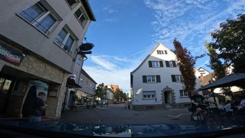
Lo Spuntino
Restaurant · Italian · 5.3 km
5 Bismarckstraße, Öhringen
Mo off; Tu-Sa 10:30-14:00,17:00-22:00; Su,PH 16:00-22:00
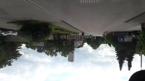
Mediterraneo
Restaurant · Mediterranean · 5.6 km
44 Pfaffenmühlweg
Mo-Su 11:30-14:00,17:30-22:30; Tu off; We 17:30-22:30
Namaste India
Restaurant · Indian · 5.2 km
49 Münzstraße, Öhringen
Mo 17:00-22:00; Tu-Su 11:30-14:30,17:00-22:00


Pizzeria Burim´Os
Restaurant · Italian, Pizza · 5.6 km
27 Karlsvorstadt, Öhringen
Tu-Fr 10:30-14:00,17:00-22:00; Sa 16:00-22:00; Su,PH 16:00-21:00
125 more on the map.
History
Bretzfeld was first documented in the year 1037 as "Bretesfeld". During the years of the stem duchies, Bretzfeld was under control of the Duchy of Franconia. The territory was governed in two halves, one ruled by the canons' monastery of Öhringen and the other ruled by the Lords of Weinsberg, which exercised high justice. In 1423, Bretzfeld, along with other places formerly belonging to Weinsberg, came under the rule of the Electoral Palatinate. After the War of the Succession of Landshut, Bretzfeld came under the rule of Württemberg in 1504 and was incorporated into the Superior Office of Weinsberg.
In 1973, the districts of Heilbronn and Hohenlohe of today were established. All villages, except for Brettach, were included in the Hohenlohe district and were later merged into Bretzfeld in 1975, thus losing their status as completely independent municipalities. The exception Brettach was part of the Heilbronn district until 1977 but became part of the Heilbronn district when it was - for histocultural connections - also incorporated into Bretzfeld.
From the History section of Bretzfeld on Wikipedia, under CC BY-SA 4.0.
Where to stay14
Churches and places of worship34
Evangelische Kirche Baumerlenbach
Church · Protestant · 6.8 km
25 Kirchsteige, Öhringen
Kilianskirche
Church · Protestant · 2.8 km
2 Pfarrer-Hermann-Weg, Bretzfeld
Shopping37
Gas and EV charging10
Schools, colleges and libraries22
Healthcare9
Map of Bretzfeld
250 places. The map loads OpenStreetMap tiles when you open it.
Getting there and nearby towns
Manfred Rommel Airport Stuttgart (STR) is the nearest airport with scheduled flights listed in OpenStreetMap, 57 km away.
- Öhringen 5 km northeast, about 5 min by car
- Weinsberg 11 km west, about 11 min by car
- Heilbronn 16 km west, about 16 min by car
- Neckarsulm 16 km west, about 16 min by car
- Bad Friedrichshall 17 km west, about 17 min by car
- Künzelsau 21 km northeast, about 21 min by car
- Schwäbisch Hall 23 km east, about 23 min by car
- Murrhardt 24 km southeast, about 24 min by car
- Lauffen am Neckar 24 km southwest, about 24 min by car
- Steinheim an der Murr 26 km southwest, about 26 min by car
Drive times are estimates from straight-line distance, not routes.
Local news
Headlines from INDB.
Reviews, tips and questions
Loading what members have shared...
Sources and licences
- GeoNames (CC BY 4.0): population, coordinates, regions and time zone
- Mapillary (see each image): photos
- OpenStreetMap contributors (ODbL 1.0): places, airports, map data
- Wikidata (CC0 1.0): elevation, founding date, time zone, website
- Wikimedia Commons (see each image): photos
- Wikipedia (CC BY-SA 4.0): overview and history text
Photo credits
- Bretzfeld Evangelische Kirche 20100807, Rudolf Stricker, Attribution
- Bretzfeld Rathaus 20100807, Rudolf Stricker, Attribution
- Langenbrettach-kirche2009b, Peter Schmelzle, CC BY-SA 3.0
- Eschenau-kirche-2008, p.schmelzle, CC BY-SA 3.0
- Waldbach-bretzfeld-kirche, Peter Schmelzle, CC BY 3.0
- Affaltrach-evkirche2009, Peter Schmelzle, CC BY-SA 3.0
- Landappbw 267831 1818 Schloss Affaltrach, Martin Hahn, CC0
- Obersulm Eschenau Schloss 1 20061126, Rosenzweig, CC BY-SA 3.0
- Öhringen Spitalkirche, Markus Hassler, CC BY 3.0
- Öhringen Stiftskirche 20100911, Rudolf Stricker, Attribution
- Pfedelbach-Buchhorn-Wasserturm, Pfedelbacher, CC BY-SA 3.0 de
- Baumerlenbach-kirche3, Peter Schmelzle, CC BY-SA 3.0
- Stadtbücherei Öhringen Außenansicht, KleineLesemaus, CC BY-SA 4.0
- Weygang-Museum 03, Florian Hoffmann, CC BY-SA 3.0 de
- 198810Oehringen16, AnRo0002, CC0
- Adolzfurt evangelische Kirche 20110417, Rudolf Stricker, Attribution
- Betzfeld-kirche, Peter Schmelzle, CC BY-SA 3.0
- Pfedelbach-Schloss, Pfedelbacher at German Wikipedia ( Original text: Pfedelbacher ), CC BY-SA 3.0
- Schneiderstein Bretzfeld-Waldbach Vorderseite 20110129, User:Rosenzweig, CC BY-SA 3.0
- Marktplatz 21 Öhringen 20180913 001, Tilman2007, CC BY-SA 4.0
- Markptplatz 20, Stiftskirche Öhringen 20180914 006, Tilman2007, CC BY-SA 4.0
- Pfedelbach-Evangelische-Kirche, Pfedelbacher at German Wikipedia ( Original text: Pfedelbacher ), CC BY-SA 3.0
- Affaltrach-kathkirche, Peter Schmelzle, CC BY-SA 3.0
- Baumerlenbach-kirche, Peter Schmelzle, CC BY-SA 3.0
- Waldbach-bretzfeld-kirche2, Peter Schmelzle, CC BY 3.0
- Öhringen stiftskirche-schloss, Markus Hassler, CC BY-SA 3.0
- Wasserturm Buchhorn, Muck, CC BY-SA 4.0
- Pfedelbach-Schloss-Lageplan, Pfedelbacher, CC BY-SA 3.0
- Obersulm Eschenau Schloss 20070330, Rudolf Stricker, Public domain
- Bretzfeld Evangelische Kirche 20070330, Rudolf Stricker, Public domain
- Flight from Zurich to San Francisco (27180303543), Thomas Woodtli from Zürich, Switzerland, CC BY-SA 2.0
- Maserati Biturbo 420i Dashboard 20120405, R. Stricker, Attribution
- Limes Blick Öhringen-03-Aussicht Süd, Muck, CC BY-SA 4.0
- Street-level photo, nvbwseifert, CC BY-SA 4.0
- Street-level photo, fx7, CC BY-SA 4.0
- Street-level photo, changchun1, CC BY-SA 4.0
- Street-level photo, fx7, CC BY-SA 4.0
- Street-level photo, fx7, CC BY-SA 4.0
- Street-level photo, fx7, CC BY-SA 4.0
- Street-level photo, fx7, CC BY-SA 4.0
- Street-level photo, changchun1, CC BY-SA 4.0
- Street-level photo, dns_vlpt, CC BY-SA 4.0
- Street-level photo, changchun1, CC BY-SA 4.0
- Street-level photo, fx7, CC BY-SA 4.0
- Street-level photo, joachim_mueller, CC BY-SA 4.0
- Street-level photo, soulcover, CC BY-SA 4.0
- Street-level photo, changchun1, CC BY-SA 4.0
- Street-level photo, teddy73, CC BY-SA 4.0
- Street-level photo, Felix23, CC BY-SA 4.0
- Street-level photo, changchun1, CC BY-SA 4.0
- Street-level photo, fx7, CC BY-SA 4.0
- Street-level photo, fx7, CC BY-SA 4.0
- Street-level photo, fx7, CC BY-SA 4.0
- Street-level photo, changchun1, CC BY-SA 4.0
- Street-level photo, fx7, CC BY-SA 4.0


Page built November 8, 2026. Spotted a mistake? Tell us or suggest a place.