


Why visit Bürstadt
Townapedia lists 41 museums and landmarks, 28 parks and trails, 105 places to eat, 6 places to stay and 5 attractions in and around town.
Highlights include Rhine Bridge (Worms), Spargelhof Bärli, Abbey and Altenmünster of Lorsch and Jüdisches Museum Worms.
Weather in Bürstadt
Forecast from MET Norway (CC BY 4.0). Full forecast
About Bürstadt
Bürstadt (German pronunciation: [ˈbyːɐ̯ˌʃtat] ) is a town in the Bergstraße district in southern Hesse, Germany, 7 km east of Worms, and 17 km north of Mannheim. In 1981, the town hosted the 21st Hessentag state festival.
From the Wikipedia article Bürstadt (this version), under CC BY-SA 4.0.
Things to do5



Museums and landmarks41

Abbey and Altenmünster of Lorsch
Museum · 8.0 km
UNESCO World Heritage Abbey of Lorsch in Germany

Jüdisches Museum Worms
Museum · 6.8 km
Historical building in Worms, Germany

Luther monument Worms
Monument and historic site · 7.2 km
Large group monument for Martin Luther in Worms, often copied




29 more on the map.
Parks, trails and playgrounds28





16 more on the map.
Restaurants and cafes105

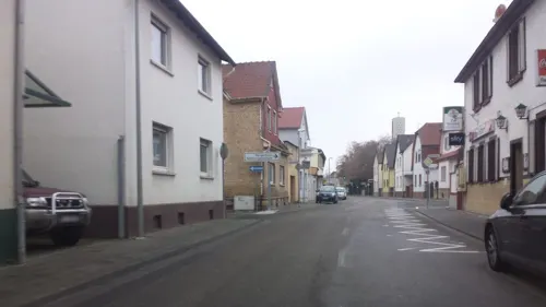
Zur Vorstadt
Restaurant · Regional · 3.7 km
38 Bahnhofstraße, Lampertheim
We-Fr 17:00-22:00; Sa 17:00-22:30; Su 11:45-14:00,17:00-22:00
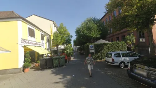
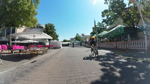
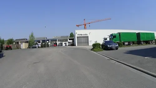
Biergarten Zur Schwarzen Tränke
Bar and pub · 5.3 km
13 Industriestraße, Lampertheim
Mo-Th 17:00-23:00;Fr-Su 15:00-23:00

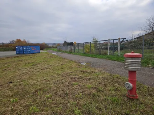
Bäcker Görtz
Bakery · 1.2 km
129 Mainstraße, Bürstadt
Mo-Fr 05:30-19:00; Sa 06:00-19:00; Su 07:30-17:00
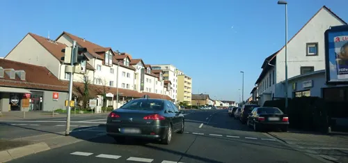
Bäcker Görtz
Cafe · 4.6 km
2 Andreasstraße, Lampertheim
Mo-Fr 05:30-18:00; Sa 06:00-17:00; Su 07:30-17:00
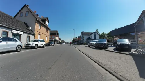
Bäcker Görtz
Cafe · 5.1 km
75 Darmstädter Straße, Biblis
Mo-Fr 05:30-18:00; Sa 06:30-18:00; Su 07:30-12:00

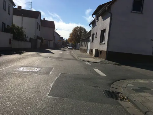


Bäckerei Konditorei Scheubeck
Bakery · 3.9 km
1 Neugasse, Lampertheim
Mo-Sa 05:30-20:00; Su 08:00-11:00
93 more on the map.
History
The name Bürstadt comes from Bisos Stätte (“Biso’s Stead”). Biso was a Frankish prince who had holdings in the area.
Bürstadt lies in one of the most culture- and history-laden of Germany's old domains. Conditioned by the Rhine rift's fertile soil and wealth in wildlife and biodiversity, the Rhine's upper bank was already settled very early on.
A 1.35 m-high monolith that stands in Bürstadt's municipal area, the so-called Sackstein (49°39′19″N 8°26′4″E), is probably a menhir from the late New Stone Age. Barrows in the Bürstadt woods have yielded some finds that can be dated to Hallstatt times. Also worthy of note are a number of finds from early La Tène times, for example a beaker shaped by hand with finger impressions dating from about 500 BC. Moreover, remains of an extensive Roman settlement can be found on the edge of the Bürstadt woods. For the traveller, Bürstadt, where there was once a Carolingian royal court, lay halfway between the Nibelungenstadt (city connected with the Nibelungenlied) of Worms, founded by Celts, and the former Lorsch Abbey.
From the History section of Bürstadt on Wikipedia, under CC BY-SA 4.0.
Where to stay6
Churches and places of worship21
Evangelische Kirche Bobstadt
Church · Protestant · 2.6 km
4 Holländerstraße, Bürstadt
Shopping23
Gas and EV charging7
Schools, colleges and libraries14
Healthcare10
Map of Bürstadt
250 places. The map loads OpenStreetMap tiles when you open it.
Getting there and nearby towns
City-Airport Mannheim (MHG) is the nearest airport with scheduled flights listed in OpenStreetMap, 19 km away.
- Lorsch 8 km east, about 8 min by car
- Gernsheim 12 km north, about 12 min by car
- Hemsbach 15 km southeast, about 15 min by car
- Mannheim 17 km south, about 17 min by car
- Ludwigshafen am Rhein 18 km south, about 18 min by car
- Weinheim 18 km southeast, about 18 min by car
- Heddesheim 18 km southeast, about 18 min by car
- Mörlenbach 20 km east, about 20 min by car
- Ladenburg 22 km southeast, about 22 min by car
- Edingen-Neckarhausen 23 km southeast, about 23 min by car
Drive times are estimates from straight-line distance, not routes.
Local news
Headlines from INDB.
Reviews, tips and questions
Loading what members have shared...
Sources and licences
- GeoNames (CC BY 4.0): population, coordinates, regions and time zone
- Mapillary (see each image): photos
- OpenStreetMap contributors (ODbL 1.0): places, airports, map data
- Wikidata (CC0 1.0): elevation, founding date, time zone, website, landmarks and historic places
- Wikimedia Commons (see each image): photos
- Wikipedia (CC BY-SA 4.0): overview and history text
Photo credits
- DorfplatzRiedrode, No machine-readable author provided. Ferroprussiat assumed (based on copyright claims)., CC BY 2.5
- Bürstadt, Evangelische Kirche, Muck, CC BY-SA 4.0
- S-Bahn S9 Haltepunkt Bürstadt Riedbahn 2024, Tohma ( talk ), CC BY-SA 4.0
- Bücherregal, 1, Wilhelminenstraße, Bürstadt, Landkreis Bergstraße, GeorgDerReisende, CC BY-SA 4.0
- Bürstadt, Alte Schillerschule, Muck, CC BY-SA 4.0
- Bahnhof Bürstadt 2024, Tohma ( talk ), CC BY-SA 4.0
- Bürstadt, Bildstock Am Bildstock, Muck, CC BY-SA 4.0
- Bürstadt Bahnhof Gleis 2unten 2026, RSchreg, CC BY 4.0
- Bürstadt, Nibelungenstraße 51, Muck, CC BY-SA 4.0
- Bürstadt, Bahnhof Deutschland Dec 27, 2024 01-27-32 PM, RSchreg, CC BY-SA 4.0
- Bürstadt, Peterstraße 22, Muck, CC BY-SA 4.0
- Bürstadt, Peterstraße 18, Muck, CC BY-SA 4.0
- Bürstadt, Peterstraße 24, Muck, CC BY-SA 4.0
- Bürstadt, Peterstraße 38, Muck, CC BY-SA 4.0
- Bürstadt, Peterstraße 40, Muck, CC BY-SA 4.0
- Bürstadt, Peterstraße 16, Muck, CC BY-SA 4.0
- Bürstadt, Kirchhofmauer St. Michael, Muck, CC BY-SA 4.0
- Bürstadt, Kanalstraße 27, Muck, CC BY-SA 4.0
- Bürstadt, toren van de Pfarrkirche Sankt Michael Dm136049 IMG 1184 2024-05-22 14.05, Michielverbeek, CC BY 4.0
- Haus Brückmann (Bürstadt)-02, Muck, CC BY-SA 4.0
- Haus Brückmann (Bürstadt)-03, Muck, CC BY-SA 4.0
- Haus Brückmann (Bürstadt)-01, Muck, CC BY-SA 4.0
- Friedhof, 2, Bürstadt, Landkreis Bergstraße, GeorgDerReisende, CC BY-SA 4.0
- Bürstadt, Friedhof, Friedhofskreuz, Muck, CC BY-SA 4.0
- Friedhof, 1, Bürstadt, Landkreis Bergstraße, GeorgDerReisende, CC BY-SA 4.0
- Naturdenkmal Maulbeerbaum Friedhof Bürstadt 1, Alfrejg, CC BY-SA 4.0
- Naturdenkmal Maulbeerbaum Friedhof Bürstadt 3, Alfrejg, CC BY-SA 4.0
- Naturdenkmal Maulbeerbaum Friedhof Bürstadt 2, Alfrejg, CC BY-SA 4.0
- Bürstadt, St. Peter-02, Muck, CC BY-SA 4.0
- Worms Bruecke 02, Armin Kübelbeck -- Kuebi 16:55, 27 May 2007 (UTC), CC BY-SA 3.0
- Lorsch, Elswhs at Dutch Wikipedia ( Original text: Els Slots ), CC BY-SA 3.0
- Raschi-Haus, Buercky, CC BY-SA 3.0
- Lutherdenkmal Worms 01, Immanuel Giel, Public domain
- St. Andreas Worms 4, Altera levatur, CC BY-SA 4.0
- Worms sarcophagi, Fourdee at English Wikipedia, Public domain
- Worms Magnuskirche1, Chris06, Public domain
- Worms-Dreifaltigkeitskirche, Immanuel Giel, Public domain
- Worms Dom Ostfassade Vierung2005-05-27a, Unknown author, CC BY-SA 3.0
- 20120512 NSG Lampertheimer Altrhein - Biedensand - Blumenwiese, Aquatoney, CC BY-SA 4.0
- Biblis katholische Kirche, Jürgen Lange, CC BY 3.0
- Buerstadt-St-Michael-04, Immanuel Giel, CC BY-SA 3.0
- Menhir of Bürstadt, Kurt Althoff, CC BY-SA 4.0
- Protestantische Kirche - panoramio (42), Immanuel Giel, CC BY 3.0
- Bobstadt, St. Josef (Außenansicht) (3), Cmcmcm1, CC BY-SA 4.0
- KircheHofheimRiedStMichael, Roland Hahn, Public domain
- Stolperstein Bürstadt Luisen-7 Blondina Mann, Alfrejg, CC BY-SA 4.0
- Tankstelle Hafenstraße Lampertheim, Emilius123, CC BY 4.0
- Die Nibelungen-Museum in Worms (The Nibelungen Museum, just inside the city walls of Worms) - geo.hlipp.de - 21377, eirian evans on geo.hlipp.de, CC BY-SA 2.0
- Street-level photo, wegavision, CC BY-SA 4.0
- Street-level photo, wegavision, CC BY-SA 4.0
- Street-level photo, ramap, CC BY-SA 4.0
- Street-level photo, chuck, CC BY-SA 4.0
- Street-level photo, wegavision, CC BY-SA 4.0
- Street-level photo, wegavision, CC BY-SA 4.0
- Street-level photo, bigbug21, CC BY-SA 4.0
- Street-level photo, wegavision, CC BY-SA 4.0
- Street-level photo, changchun1, CC BY-SA 4.0
- Street-level photo, wegavision, CC BY-SA 4.0
- Street-level photo, teddy73, CC BY-SA 4.0
- Street-level photo, wegavision, CC BY-SA 4.0
- Street-level photo, teddy73, CC BY-SA 4.0
- Street-level photo, wegavision, CC BY-SA 4.0
- Street-level photo, ramap, CC BY-SA 4.0
- Street-level photo, changchun1, CC BY-SA 4.0
- Street-level photo, wegavision, CC BY-SA 4.0
- Street-level photo, schulf, CC BY-SA 4.0
- Street-level photo, schulf, CC BY-SA 4.0
- Street-level photo, wegavision, CC BY-SA 4.0
- Street-level photo, teddy73, CC BY-SA 4.0
- Street-level photo, ramap, CC BY-SA 4.0
- Street-level photo, wegavision, CC BY-SA 4.0
- Street-level photo, wegatest, CC BY-SA 4.0


Page built November 8, 2026. Spotted a mistake? Tell us or suggest a place.