


Why visit Flöha
Townapedia lists 39 museums and landmarks, 13 parks and trails, 51 places to eat, 10 places to stay and 31 attractions in and around town.
Highlights include Bienes Hofladen, Butterberg, Viadukt Braunsdorf and Historische Schauweberei Braunsdorf.
Weather in Flöha
Forecast from MET Norway (CC BY 4.0). Full forecast
About Flöha
Flöha (German pronunciation: [ˈfløːa] ) is a town in the district of Mittelsachsen, in Saxony, Germany. Flöha is situated on the confluence of the rivers Zschopau and Flöha, 10 km (6.21 mi) east of Chemnitz.
From the Wikipedia article Flöha (this version), under CC BY-SA 4.0.
Things to do31


Hofladen Blockhauscafé
Farm and orchard · 4.2 km
17 Rittergasse, Augustusburg
We,Th 14:00-21:00; Fr 14:00-22:00; Sa 11:00-22:00; Su 11:00-17:00
Landwirtschaftsbetrieb Schönherr
Farm and orchard · 3.9 km
Käseverkauf ab Hof; bitte klingeln
19 more on the map.
Museums and landmarks39

Viadukt Braunsdorf
Monument and historic site · 4.4 km
Eisenbahnviadukt der Strecke Roßwein – Niederwiesa über die Zschopau, Braunsdorf 36a in Niederwiesa OT Braunsdorf.

Historische Schauweberei Braunsdorf
Museum · 3.9 km
16 Inselsteig, Niederwiesa
Sa-Su 10:00-16:00; Fr "nach Vereinbarung"

Königlich sächsischer Meilenstein
Monument and historic site · 4.5 km
Königlich-Sächsischer Halbmeilenstein, restauriert, mit nachgebildeter Krone, an der Chemnitzer Straße in Niederwiesa

Kursächsische Postmeilensäule
Monument and historic site · 2.3 km
Kursächsische Postmeilensäule-Viertelmeilenstein, restauriert

Kursächsische Postmeilensäule
Monument and historic site · 3.7 km
Kursächsische Ganzmeilensäule Nr. 28 (Kopie) am Rathausplatz in Niederwiesa
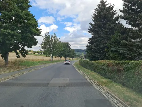


Schloss Erdmannsdorf
Monument and historic site · 4.3 km
9 Rathausstraße, Augustusburg



Oesterheltbücke
Monument and historic site · 4.5 km
Oesterheltbrücke, Straßenbrücke über die Zschopau; zweibogige Steinbrücke in Niederwiesa OT Braunsdorf. Benannt nach Richard Oesterhelt,...
Wasserturm Braunsdorf
Monument and historic site · 4.8 km
Wasserturm, Am Wasserturm in Niederwiesa OT Braunsdorf
27 more on the map.
Parks, trails and playgrounds13

Lehr- und Therapieschwimmbecken
Sports field and stadium
12,5 x 7m Becken für Schulsport und Kursangebote


1 more on the map.
Restaurants and cafes51

Blockhauscafe
Restaurant · Regional · 4.2 km
17 Rittergasse, Augustusburg
We,Th 14:00+; Fr 14:00-22:00; Sa 11:00-22:00; Su,PH 11:00-17:00;...

Café Design&Stil Madame Olga
Cafe · Russian · 2.6 km
14d Plauer Straße, Flöha
Mo-We,Fr 09:00-18:00; Sa,Su,PH off
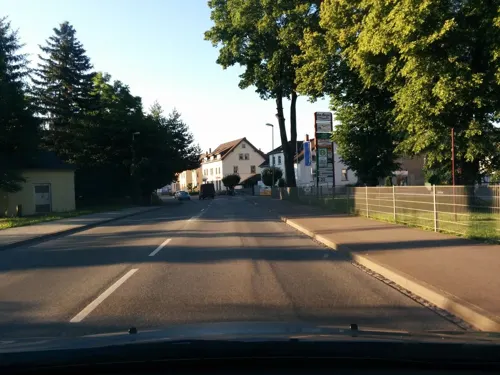
Griechisches Restaurant "Athos"
Restaurant · Greek · 0.7 km
21 Augustusburger Straße, Flöha
Mo 17:30-22:00, We,Th,Su 11:30-14:00, We,Th 17:30-22:00, Fr,Sa...
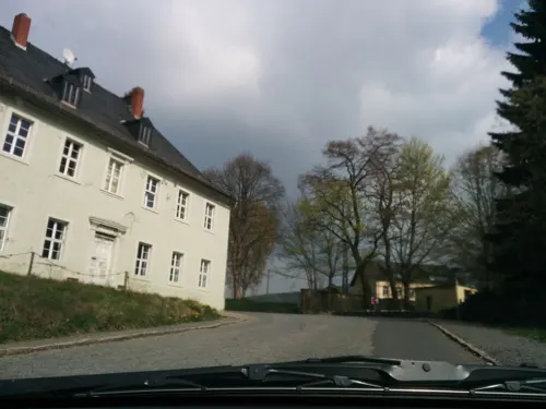
Landgasthof Erbgericht
Restaurant · German · 4.2 km
2 Kunnersdorfer Straße, Augustusburg
We-Su 11:00-20:00+
Landgaststätte Finkenmühle
Restaurant · German · 2.9 km
4 Zur Finkenmühle, Flöha
24/7 off "Betriebsruhe"
Schwalbennest
Restaurant · International, Regional · 4.3 km
4 Eubaer Straße, Niederwiesa
Mo,Th,Fr 11:00-22:00; Sa 11:00-22:00; Su,PH 11:00-21:00
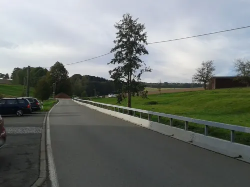
Bäckerei Meseg
Bakery · 3.7 km
40A Alte Dorfstraße, Frankenberg/Sa.
Tu,Fr 05:00-17:00; Th 05:00-12:00; Sa 05:00-11:00; Su 05:00-09:00;...



Hotel und Restaurant "Zur Falkenhöhe"
Restaurant · 2.5 km
74 Dresdner Straße, Flöha
Mo,Tu,Fr 11:30-22:00; We,Th 17:00-22:00; Sa 11:00-23:00; Su 11:00-20:00
39 more on the map.
History
During World War II, a subcamp of Flossenbürg concentration camp was located in Flöha. Flöha absorbed the former municipality Falkenau in 2011.
From the History section of Flöha on Wikipedia, under CC BY-SA 4.0.
Where to stay10
Sportunterkunft des Fördervereins für Nachwuchssport e.V.
Motel and hotel · 0.8 km
8 Turnerstraße, Flöha
Churches and places of worship9
Evangelische Pfarrkirche Falkenau
Church · Protestant · 2.9 km
3 Straße der Einheit, Flöha
Römisch-Katholische Kirche "Heiliger Maximilian Kolbe"
Church · Catholic · 4.5 km
1 Maximilian-Kolbe-Straße, Augustusburg
Shopping14
Gas and EV charging4
Schools, colleges and libraries10
Healthcare5
Map of Flöha
186 places. The map loads OpenStreetMap tiles when you open it.
Getting there and nearby towns
Leipzig-Altenburg Airport (AOC) is the nearest airport with scheduled flights listed in OpenStreetMap, 42 km away.
- Chemnitz 10 km west, about 10 min by car
- Zschopau 12 km south, about 12 min by car
- Stollberg 26 km southwest, about 26 min by car
- Penig 27 km west, about 27 min by car
- Olbernhau 29 km southeast, about 29 min by car
- Zwönitz 31 km southwest, about 31 min by car
- Lichtenstein 33 km west, about 33 min by car
- Lößnitz 35 km southwest, about 35 min by car
- Mülsen 38 km west, about 38 min by car
- Dresden 51 km northeast, about 51 min by car
Drive times are estimates from straight-line distance, not routes.
Local news
Headlines from INDB.
Reviews, tips and questions
Loading what members have shared...
Sources and licences
- GeoNames (CC BY 4.0): population, coordinates, regions and time zone
- Mapillary (see each image): photos
- OpenStreetMap contributors (ODbL 1.0): places, airports, map data
- Wikidata (CC0 1.0): elevation, founding date, time zone, website
- Wikimedia Commons (see each image): photos
- Wikipedia (CC BY-SA 4.0): overview and history text
Photo credits
- Flöha - the town as seen from the pomselberg (aka), André Karwath aka Aka, CC BY-SA 2.5
- Flöha - bus station (aka), André Karwath aka Aka, CC BY-SA 2.5
- 18.01.94 Flöha 202.152 (33338456026), Phil Richards from London, UK, CC BY-SA 2.0
- Flöha - train station 2 (aka), André Karwath aka Aka, CC BY-SA 2.5
- Flöha - train station 1 (aka), André Karwath aka Aka, CC BY-SA 2.5
- Ärztehaus FLÖha - panoramio, © CANONIER, CC BY-SA 3.0
- Flöha Augustusburger51, Tomukas, CC BY-SA 3.0
- Flöha Augustusburger53, Tomukas, CC BY-SA 3.0
- 06286-Flöha-1905-Bismarckstraße-Brück & Sohn Kunstverlag, Brück & Sohn Kunstverlag Meißen, CC0
- 04630-Flöha-1903-Blick auf die Kirche-Brück & Sohn Kunstverlag, Brück & Sohn Kunstverlag Meißen, CC0
- 06283-Flöha-1905-König Albertstraße-Brück & Sohn Kunstverlag, Brück & Sohn Kunstverlag Meißen, CC0
- 22885-Flöha-1924-Blick auf Flöha-Brück & Sohn Kunstverlag, Brück & Sohn Kunstverlag Meißen, CC BY-SA 3.0
- 04878-Flöha-1903-Blick über die Stadt-Brück & Sohn Kunstverlag, Brück & Sohn Kunstverlag Meißen, CC0
- 22804-Flöha-1924-König-Georg-Brücke-Brück & Sohn Kunstverlag, Brück & Sohn Kunstverlag Meißen, CC BY-SA 3.0
- 16251-Flöha-1913-Blick nach der Kirche-Brück & Sohn Kunstverlag, Brück & Sohn Kunstverlag Meißen, CC0
- 12084-Flöha-1910-Bahnhofstraße-Brück & Sohn Kunstverlag, Brück & Sohn Kunstverlag Meißen, CC0
- 11575-Flöha-1910-König Albert Straße mit neuer Schule-Brück & Sohn Kunstverlag, Brück & Sohn Kunstverlag Meißen, CC0
- 09899-Flöha-1908-50 jährige Jubiläum Militärverein 1908-Brück & Sohn Kunstverlag, Brück & Sohn Kunstverlag Meißen, CC0
- 04645-Flöha-1903-Blick auf Flöha-Brück & Sohn Kunstverlag, Brück & Sohn Kunstverlag Meißen, CC0
- 16253-Flöha-1913-Kirche und Schule-Brück & Sohn Kunstverlag, Brück & Sohn Kunstverlag Meißen, CC0
- 12136-Flöha-1910-Blick auf Flöha-Brück & Sohn Kunstverlag, Brück & Sohn Kunstverlag Meißen, CC0
- 04879-Flöha-1903-Blick über die Stadt-Brück & Sohn Kunstverlag, Brück & Sohn Kunstverlag Meißen, CC0
- 06285-Flöha-1905-Bismarckstraße-Brück & Sohn Kunstverlag, Brück & Sohn Kunstverlag Meißen, CC0
- 22805-Flöha-1924-Blick auf Flöha-Brück & Sohn Kunstverlag, Brück & Sohn Kunstverlag Meißen, CC BY-SA 3.0
- 15951-Flöha-1913-Blick auf Flöha-Brück & Sohn Kunstverlag, Brück & Sohn Kunstverlag Meißen, CC0
- 04644-Flöha-1903-König-Albert-Straße-Brück & Sohn Kunstverlag, Brück & Sohn Kunstverlag Meißen, CC0
- 06282-Flöha-1905-Blick auf Flöha-Brück & Sohn Kunstverlag, Brück & Sohn Kunstverlag Meißen, CC0
- 16255-Flöha-1913-Eisenbahnbrücke über die Zschopau-Brück & Sohn Kunstverlag, Brück & Sohn Kunstverlag Meißen, CC0
- 12134-Flöha in Sachsen-1910-Blick auf Flöha-Brück & Sohn Kunstverlag, Brück & Sohn Kunstverlag Meißen, CC0
- 06288-Flöha-1905-Plaue - Dorfstraße-Brück & Sohn Kunstverlag, Brück & Sohn Kunstverlag Meißen, CC0
- 23209-Flöha-1925-Carolastraße-Brück & Sohn Kunstverlag, Brück & Sohn Kunstverlag Meißen, CC BY-SA 3.0
- 15954-Flöha-1913-König Georg Brücke-Brück & Sohn Kunstverlag, Brück & Sohn Kunstverlag Meißen, CC0
- 11574-Flöha-1910-Blick auf Flöha-Brück & Sohn Kunstverlag, Brück & Sohn Kunstverlag Meißen, CC0
- 02690-Flöha i. Sachsen-1902-Hotel Stadt Dresden-Brück & Sohn Kunstverlag, Brück & Sohn Kunstverlag Meißen, CC0
- Dresden Gaensedieb Brunnen, MatthiasKabel, CC BY-SA 3.0
- Schloss Erdmannsdorf, Ernst Wilhelm Knippel, Public domain
- Kirche Chemnitz-Euba, Regi51, CC BY-SA 3.0
- Viadukt Braunsdorf 2, Brücke-Osteuropa, CC0
- Niederwiesa Kgl Saechs MS-03, Radler59 ( talk ), CC BY-SA 4.0
- GMSNiederwiesa140408FotosAKaiser, Foto André Kaiser, CC BY-SA 3.0 de
- St Petri-Kirche Augustusburg 3, Brücke-Osteuropa, CC0
- Erdmannsdorf church, Unukorno, CC BY-SA 3.0
- Anton Günther Gedenkstein Chemnitz- Euba, Dor Jörsch, CC BY-SA 4.0
- Falkenau VM-Stein (2) 2006-05-04, Norbert Kaiser, CC BY-SA 2.5
- Evangelisch-lutherische Georgenkirche Flöha, Aagnverglaser, CC BY-SA 4.0
- 2020-06-20 Historische Schauweberei Braunsdorf 017, Stefan Kühn, CC0
- Street-level photo, floe, CC BY-SA 4.0
- Street-level photo, floe, CC BY-SA 4.0
- Street-level photo, floe, CC BY-SA 4.0
- Street-level photo, floe, CC BY-SA 4.0
- Street-level photo, floe, CC BY-SA 4.0
- Street-level photo, mappinggeek, CC BY-SA 4.0
- Street-level photo, malenki, CC BY-SA 4.0
- Street-level photo, thomas, CC BY-SA 4.0
- Street-level photo, canislupus, CC BY-SA 4.0
- Street-level photo, floe, CC BY-SA 4.0
- Street-level photo, floe, CC BY-SA 4.0
- Street-level photo, floe, CC BY-SA 4.0
- Street-level photo, canislupus, CC BY-SA 4.0
- Street-level photo, floe, CC BY-SA 4.0
- Street-level photo, malenki, CC BY-SA 4.0


Page built November 8, 2026. Spotted a mistake? Tell us or suggest a place.