


Why visit Gersheim
Townapedia lists 56 museums and landmarks, 15 parks and trails, 41 places to eat, 5 places to stay and 19 attractions in and around town.
Highlights include Naturbühne Gräfinthal, Homerich hill, Museum für dörfliche Alltagskunde und Museum des Saarländischen Aberglaubens and Zollmuseum Habkirchen.
Weather in Gersheim
Forecast from MET Norway (CC BY 4.0). Full forecast
About Gersheim
Gersheim (German pronunciation: [ˈɡɛʁshaɪm]) is a municipality in the Saarpfalz district, in Saarland, Germany. In its southwest it borders the French region Grand Est. Gersheim is located approximately 15 km southwest of Zweibrücken, and 20 km southeast of Saarbrücken.
From the Wikipedia article Gersheim (this version), under CC BY-SA 4.0.
Photos of Gersheim


Things to do19




7 more on the map.
Museums and landmarks56

Museum für dörfliche Alltagskunde und Museum des Saarländischen Aberglaubens
Museum · 2.7 km
3 Erfweiler Straße, Gersheim
Su[3] 14:00-18:00

Zollmuseum Habkirchen
Museum · 5.3 km
2a Blieskasteler Straße, Mandelbachtal
Su[3] 14:00-17:00; "oder nach Vereinbarung"


Bliesbruck Baths
Monument and historic site · 3.1 km
Thermae in France

Europäischer Kulturpark Bliesbruck-Reinheim
Monument and historic site · 2.3 km
European Archaeological Park of Bliesbruck-Reinheim
Monument and historic site · 2.4 km
Archaeological park
Parc archéologique européen de Bliesbruck-Reinheim
Monument and historic site · 2.7 km
Dincher
Monument and historic site · Catholic · 5.3 km
Helles Steinkreuz mit Kruzifix auf Steinsockel

Haus Wulfinghoff
Monument and historic site · 6.0 km
Ehem. Pferdeschwemme
10, Mandelbachtal
44 more on the map.
Parks, trails and playgrounds15






3 more on the map.
Restaurants and cafes41
Historischer Bahnhof Gersheim
Restaurant · Regional · 0.7 km
3 Bahnhofstraße
Mo,Tu closed; We-Sa 11:30-15:00,17:00-22:00; PH,Su 11:30-21:00
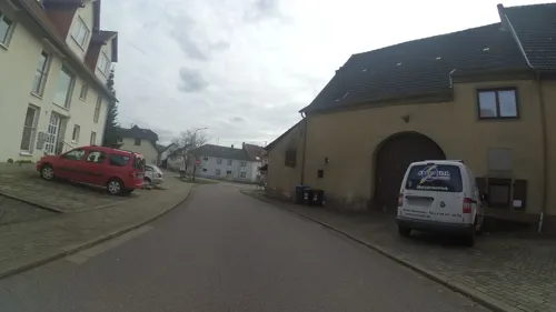
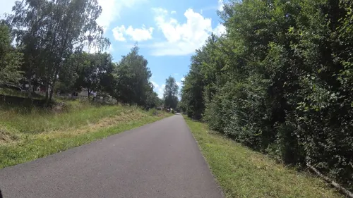
Schillerallee Nr. 5
Cafe · 2.6 km
5 Schillerallee, Gersheim
Jul-Dec: Sa[3] 14:00-19:00, Su[3] 13:00-18:00
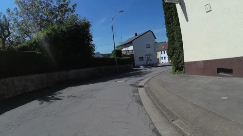
Zum Römerturm
Restaurant · 5.2 km
9 Straße am Römerturm, Mandelbachtal
Fr, Sa 17:00-22:00; Su 11:30-14:00, 17:00-22:00
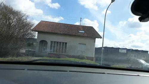
Dorfbäckerei Ackermann
Bakery · 6.1 km
Tu,Th,Fr 06:00-12:30,14:00-18:15; We 06:00-12:30; Sa 06:00-13:00

Gräfinthaler Hof
Restaurant · 5.9 km
Ehem. Kelter- u Gesindehaus mit Gewölbekeller mittags 12:00-13:45 Uhr letzte Bestellung abends 18:00-21:00 Uhr letzte Bestellung
6, Mandelbachtal
We-Su 12:00-15:00; We-Sa 18:00-23:00
Lavelle
Restaurant · Mediterranean · 5.9 km
3, Mandelbachtal
Mo-Tu, Th-Sa 12:00-14:00, 18:00-22:00; Su 12:00-18:00


29 more on the map.
History
The oldest known traces of human settlement are Celtic tumuli on several hilltops.
The gaulic tribe of the Mediomatrici had its main settlement in this region at the site of modern town of Metz. Notable mediomatrician findings can be seen at the European Archaeological Park of Bliesbruck-Reinheim.
After the fall of the empire in the Migration Period, the area was occupied by Germanic tribes who eventually formed a frankish kingdom. The ending 'heim' and 'weiler' of most of the village names in the region hints that they might be founded in the early medivian, Merovingian era.
Under changing local noble rulers the villages became part of Lotharingia, Burgundy and the Spanish Netherlands over the medieval centuries.
The devastation of the Thirty Years' War almost completely depopulated the whole region, so new settlers from the alpine countries were relocated to the North. This led to long lasting bonds like the annual fair 'Kleintiroler Weiherfest' (see Tirol) in Rubenheim.
With the French Revolutionary Wars the area became part of the French Empire. With the Congress of Vienna the villages were handed over to the Bavarian Kingdom and as part of the Rhenish Palatinate they became the very western border of Bavaria until the year 1946.
Read more of the history
After World War II the region was occupied by France and kept as semi-independent Saar Protectorate until, after a referendum, it became a state of West Germany in 1957.
The village of Gersheim itself was first mentioned officially under the name 'Geroldesheim' in the year 1150.
The municipality Gemeinde Gersheim was founded by dissolving and reorganising several neighboring communities as part of an administrative reform in 1974.
From the History section of Gersheim on Wikipedia, under CC BY-SA 4.0.
More about Gersheim
Geography
The municipality has a size of 57,4 square kilometer. The area consists of low hills up to 400m above sea level. Most of the ground is Muschelkalk aside of a small sandstone area east of Bliesdalheim.
Gersheim borders the municipalities Mandelbachtal in the northwest and Blieskastel in the northeast and east.
On the French side the Gemeinde Gersheim borders the communes Blies-Ébersing, Bliesbruck, Obergailbach, Erching and Ormersviller of the Arrondissement of Sarreguemines in the Departement de Moselle.
Parts of the area are restricted in use or access for environmental reasons as Gersheim became part of the UNESCO Biosphere Reserve Bliesgau in 2009.
Economy
Gersheim is mostly a Bedroom community. This has some tradition as many men from the villages over the last centuries travelled to the industrial centres of the Saarland on a daily basis to work mainly as coal miners (Kumpel) or steel workers.
Business in Gersheim decreased noticeably since the 1980s as e. g. the number of farmers reduced and industrial enterprises like chalk mining and cement production ended. The local railway line 'Bliestalbahn' closed end of the 1990s.
This unfortunately led to an accumulation of public credits, leading to the Gemeinde Gersheim holding the 'first place' of having the highest debt of the municipalities over many years.
Gersheim approaches soft tourism to counter this, using the status within the UNESCO biosphere area. Around the Gersheim village itself, guided tours to see rare orchids are offered.
From the Wikipedia article Gersheim, under CC BY-SA 4.0.
Where to stay5
Churches and places of worship31
Protestantische Kirche
Church · Protestant · 2.4 km
Pirminiusstraße, Gersheim-Walsheim
Protestantische Kirche Breitfurt
Church · Protestant · 6.1 km
85 Bliesdalheimer Straße, Blieskastel
Shopping5
Gas and EV charging2
Schools, colleges and libraries9
Healthcare2
Map of Gersheim
185 places. The map loads OpenStreetMap tiles when you open it.
Getting there and nearby towns
Saarbrücken Airport (SCN) is the nearest airport with scheduled flights listed in OpenStreetMap, 10 km away.
- Blieskastel 11 km northeast, about 11 min by car
- Kleinblittersdorf 12 km west, about 12 min by car
- Kirkel 15 km north, about 15 min by car
- Saarbrücken 17 km northwest, about 17 min by car
- Sankt Ingbert 15 km northwest, about 15 min by car
- Zweibrücken 16 km northeast, about 16 min by car
- Spiesen-Elversberg 19 km north, about 19 min by car
- Sulzbach 20 km northwest, about 20 min by car
- Neunkirchen 22 km north, about 22 min by car
- Homburg 22 km northeast, about 22 min by car
Drive times are estimates from straight-line distance, not routes.
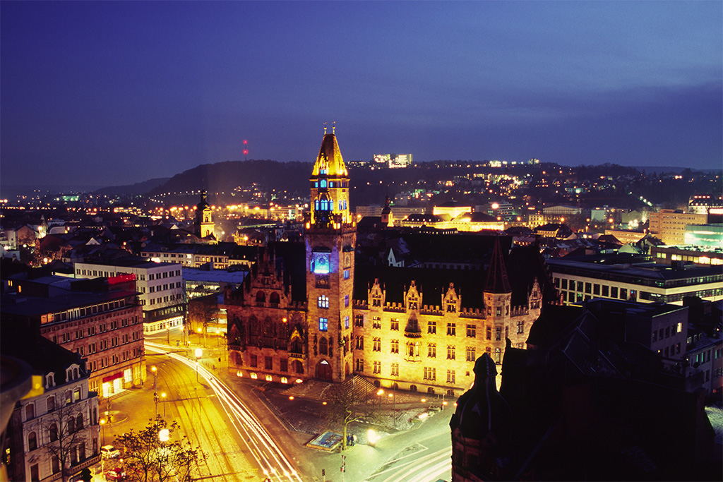
Towns near Gersheim




Local news
Headlines from INDB.
Reviews, tips and questions
Loading what members have shared...
Sources and licences
- GeoNames (CC BY 4.0): population, coordinates, regions and time zone
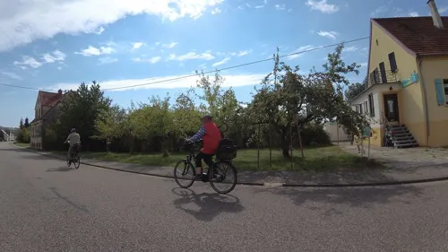
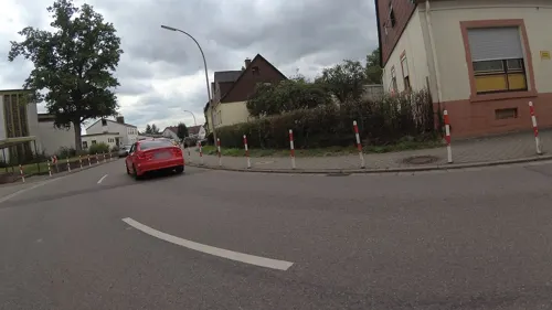
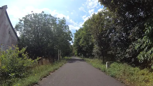
- Mapillary (see each image): photos
- OpenStreetMap contributors (ODbL 1.0): places, airports, map data
- Wikidata (CC0 1.0): elevation, founding date, time zone, website, landmarks and historic places
- Wikimedia Commons (see each image): photos
- Wikipedia (CC BY-SA 4.0): overview and history text
Photo credits
- Gersheim Pfarrkirche St. Alban 03, atreyu, CC BY-SA 3.0
- WLE2021 Orchideengebiet Gersheim Saarland 003, Cpt.Cook.Saar, CC BY-SA 4.0
- 20250511Orchideenpfad Gersheim1, AnRo0002, CC0
- 20250511Orchideenpfad Gersheim2, AnRo0002, CC0
- WLE2021 Orchideengebiet Gersheim Saarland Hummelragwurz 003, Cpt.Cook.Saar, CC BY-SA 4.0
- 20250511Orchideenpfad Gersheim3, AnRo0002, CC0
- WLE2021 Orchideengebiet Gersheim Saarland Knabenkraut (3), Cpt.Cook.Saar, CC BY-SA 4.0
- WLE2021 Orchideengebiet Gersheim Saarland 002, Cpt.Cook.Saar, CC BY-SA 4.0
- WLE2021 Orchideengebiet Gersheim Saarland Knabenkraut (6), Cpt.Cook.Saar, CC BY-SA 4.0
- WLE2021 Orchideengebiet Gersheim Saarland Hummelragwurz 002, Cpt.Cook.Saar, CC BY-SA 4.0
- WLE2021 Orchideengebiet Gersheim Saarland 004, Cpt.Cook.Saar, CC BY-SA 4.0
- WLE2021 Orchideengebiet Gersheim Saarland Knabenkraut (2), Cpt.Cook.Saar, CC BY-SA 4.0
- WLE2021 Orchideengebiet Gersheim Saarland Hummelragwurz 001, Cpt.Cook.Saar, CC BY-SA 4.0
- 20250511Kalkquellsumpf Gersheim, AnRo0002, CC0
- Römische Thermen Europäischer Kulturpark Bliesbruck-Reinheim, Amber16, CC BY-SA 4.0
- Parc archéologique Bliesbruck 2012 pradigue 13, Pradigue, CC BY-SA 3.0
- Rubenheim Museum für dörfliche Alltagskultur 01, atreyu, CC BY-SA 3.0
- Habkirchen Zollmuseum, EPei, CC BY-SA 3.0
- Bliesdalheim Katholische Kirche 01, Fotoman2012, CC BY-SA 3.0
- Walsheim Protestantische Kirche, Fotoman2012, CC BY-SA 3.0
- 20210829 Haus Lochfeld 02, Flocci Nivis, CC BY 4.0
- Breitfurt Protestantische Kirche 05, atreyu, CC BY-SA 3.0
- Naturbühne Gräfinthal IMG 7415, Folkby, CC BY-SA 3.0
- Wolfersheim Protestantische Kirche 03, atreyu, CC BY-SA 3.0
- Reinheim St.Markus 6, EPei at de.wikipedia, CC BY-SA 3.0
- Ormesheim Katholische Kirche 02, Fotoman2012, CC BY-SA 3.0
- Alexanderturm (Großer Kahlenberg), Pascal Dihé, CC BY-SA 4.0
- Blies-Ébersing - Église Saint-Hubert, atreyu, CC BY-SA 3.0
- Frauenberg Église Saint-Jacques-le-Majeur, Aimelaime, CC BY-SA 4.0
- 20210627 Gymnadenia conopsea 03, Flocci Nivis, CC BY 4.0
- Erfweiler-Ehlingen Josefkapelle 02, Fotoman2012, CC BY-SA 3.0
- 20210627 Homerich Gersheim, Flocci Nivis, CC BY 4.0
- 20210829 Kreuzkirche Ormesheim 02, Flocci Nivis, CC BY 4.0
- Frauenberg Burgruine, EPei ., CC BY-SA 3.0
- Rubenheim Katholische Pfarrkirche St. Mauritius, atreyu, CC BY-SA 3.0
- Reinheim Ausgrabungen 2, EPei, CC BY-SA 3.0
- Naturbühne Gräfinthal 2016, Energiekuchen, CC BY-SA 4.0
- 20210627 Orchideenpfad Gersheim 01, Flocci Nivis, CC BY 4.0
- Rubenheim Museum Alltagskultur 3.1, EPei at de.wikipedia, CC BY-SA 3.0
- Stolperstein Karl Wust, Engimat, CC BY-SA 4.0
- Street-level photo, teddy73, CC BY-SA 4.0
- Street-level photo, teddy73, CC BY-SA 4.0
- Street-level photo, teddy73, CC BY-SA 4.0
- Street-level photo, teddy73, CC BY-SA 4.0
- Street-level photo, glglgl, CC BY-SA 4.0
- Street-level photo, teddy73, CC BY-SA 4.0
- Street-level photo, glglgl, CC BY-SA 4.0
- Street-level photo, glglgl, CC BY-SA 4.0
- Street-level photo, teddy73, CC BY-SA 4.0
- Street-level photo, teddy73, CC BY-SA 4.0
- Street-level photo, teddy73, CC BY-SA 4.0
- Street-level photo, teddy73, CC BY-SA 4.0
- Street-level photo, teddy73, CC BY-SA 4.0
- Street-level photo, teddy73, CC BY-SA 4.0
- Street-level photo, teddy73, CC BY-SA 4.0
- Street-level photo, teddy73, CC BY-SA 4.0
- Street-level photo, ramap, CC BY-SA 4.0
- Street-level photo, elton4711, CC BY-SA 4.0
- Street-level photo, teddy73, CC BY-SA 4.0
- Street-level photo, teddy73, CC BY-SA 4.0
- Street-level photo, mattti, CC BY-SA 4.0
- Street-level photo, teddy73, CC BY-SA 4.0
- Street-level photo, teddy73, CC BY-SA 4.0
- Street-level photo, teddy73, CC BY-SA 4.0


Page built November 9, 2026. Spotted a mistake? Tell us or suggest a place.