


Gerstetten, Germany
Gerstetten is a town of 12,086 people in Baden-Wurttemberg, Germany.
Why visit Gerstetten
Townapedia lists 36 museums and landmarks, 11 parks and trails, 44 places to eat, 3 places to stay and 24 attractions in and around town.
Highlights include Hofladen Junginger, Hochberg, Meteorkratermuseum and Museum im Ursula-Stift.
Weather in Gerstetten
Forecast from MET Norway (CC BY 4.0). Full forecast
About Gerstetten
Gerstetten (German pronunciation: [ˈɡɛʁʃtɛtn̩]) is a municipality in the district of Heidenheim in Baden-Württemberg in southern Germany.
From the Wikipedia article Gerstetten (this version), under CC BY-SA 4.0.
Things to do24
Hofladen Junginger
Farm and orchard · 7.1 km
4 Steinheimer Straße, Steinheim am Albuch
Mo 08:00-18:00; We-Fr 08:00-18:00; Sa 08:00-14:00



Ihle Vieh-/Landhandel
Farm and orchard
16 Friedrichstraße, Gerstetten

Wasserturm Gerstetten
Scenic view · 1.0 km
May-Oct: Su 13:30-16:30; May-Oct: PH 13:30-16:30
12 more on the map.
Museums and landmarks36

Meteorkratermuseum
Museum · 7.1 km
5 Hochfeldweg, Steinheim am Albuch
Mar-Oct Th,Fr 13:00-17:00; Mar-Oct Sa,Su,PH 10:00-18:00

Heldenfinger Krippe
Museum · 4.1 km
Weihnachts- und Passionskrippe, geöffnet vom 3. Advent bis zum Sonntag nach Lichtmess und vom Palmsonntag bis zum dritten Sonntag nach Ostern



Alter Kronekeller
Monument and historic site · 4.4 km
Öffnung des ehemaligen Kellers des mittlerweile abgerissenen Gasthaus Krone
Römische Villa rustica
Monument and historic site · 5.8 km
Grundmauern einer römischen Villa rustica mit Umfassungsmauer
24 more on the map.
Parks, trails and playgrounds11


Kutschenberg-Heuschlaufenberg-Stürzelberg
Hiking and trails · 6.8 km


Restaurants and cafes44
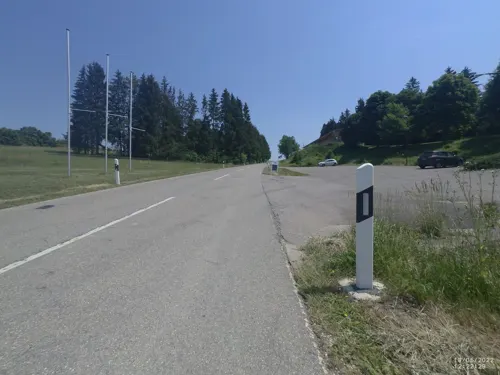
Clubhaus MSC Gerstetten
Restaurant · Regional · 1.6 km
2 Vogelsberg, Gerstetten
Tu,Fr,Sa 17:00+; Su,PH 10:00+

Gasthaus zum Bahnhöfle
Restaurant · Regional · 7.9 km
19 Bräunisheimer Straße, Amstetten
Mo,Tu off; We-Su 11:30-14:00,17:00-23:00
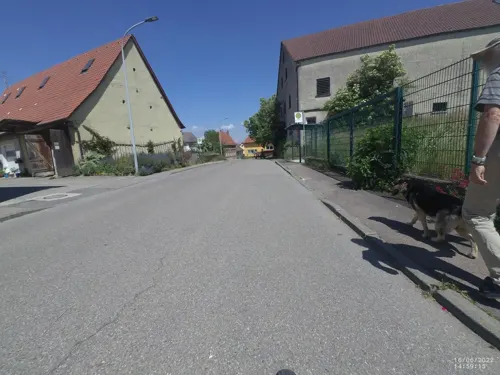
Landgasthof Ochsen
Restaurant · Regional · 3.9 km
7 Molkereistraße, Gerstetten
Mo-Tu 09:00-23:00, We 09:00-14:00, Th-Su 09:00-23:00
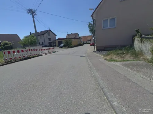

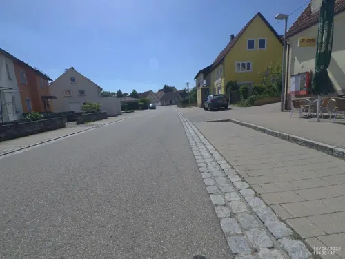
Bäckerei Banzhaf
Bakery · 4.0 km
21 Rüblinger Straße, Heldenfingen
Mo-Th 05:30-12:00; Fr 05:30-12:00,14:00-18:00; Sa 05:30-12:00

Albbäck
Bakery · 0.8 km
51 Forststraße, Gerstetten
Mo,Th,Fr 07:00-12:30,14:00-18:00; Tu,We 07:00-12:30; Sa...


32 more on the map.
Where to stay3
Sontheimer Wirtshäusle
Motel and hotel · 6.7 km
1 Sontheimer Wirtshäusle, Steinheim am Albuch
Churches and places of worship24
Evangelische Maria-Magdalena-Kirche - Altheim
Church · Protestant · 4.4 km
10 Zähringen, Altheim (Alb)
Michaelskirche
Church · Protestant · 5.0 km
6 Kirchstraße, Gerstetten
Marienkirche
Church · Protestant · 4.5 km
33 Kirchstraße, Altheim (Alb)
Shopping11
Gas and EV charging2
Schools, colleges and libraries9
Seebergschule Söhnstetten Grund- und Werkrealschule
School · 6.1 km
1 Turnstraße, Steinheim am Albuch
Healthcare3
Map of Gerstetten
167 places. The map loads OpenStreetMap tiles when you open it.
Getting there and nearby towns
Manfred Rommel Airport Stuttgart (STR) is the nearest airport with scheduled flights listed in OpenStreetMap, 59 km away.
- Heidenheim an der Brenz 11 km northeast, about 11 min by car
- Herbrechtingen 11 km east, about 11 min by car
- Langenau 16 km southeast, about 16 min by car
- Giengen an der Brenz 16 km east, about 16 min by car
- Heubach 20 km north, about 20 min by car
- Süßen 20 km west, about 20 min by car
- Ulm 25 km south, about 25 min by car
- Schwäbisch Gmünd 26 km northwest, about 26 min by car
- Göppingen 28 km west, about 28 min by car
- Laichingen 29 km southwest, about 29 min by car
Drive times are estimates from straight-line distance, not routes.
Local news
Headlines from INDB.
Reviews, tips and questions
Loading what members have shared...
Sources and licences
- GeoNames (CC BY 4.0): population, coordinates, regions and time zone
- Mapillary (see each image): photos
- OpenStreetMap contributors (ODbL 1.0): places, airports, map data
- Wikidata (CC0 1.0): elevation, founding date, time zone, website
- Wikimedia Commons (see each image): photos
- Wikipedia (CC BY-SA 4.0): overview and history text
Photo credits
- Gerstetten, St. Petrus und Paulus (01), Subbass1, CC BY-SA 4.0
- Gerstetten, St. Petrus und Paulus (08), Subbass1, CC BY-SA 4.0
- Gerstetten, St. Petrus und Paulus (11), Subbass1, CC BY-SA 4.0
- Gerstetten, St. Petrus und Paulus (07), Subbass1, CC BY-SA 4.0
- Gerstetten, St. Petrus und Paulus (10), Subbass1, CC BY-SA 4.0
- Ehemaliges Postamt - Gerstetten, Reutlingendorf, CC BY-SA 4.0
- Bundesadler - ehemaliges Postamt - Gerstetten, Reutlingendorf, CC BY-SA 4.0
- 07.06.26 Gerstetten 626141, Phil Richards, CC BY-SA 4.0
- Gerstetten, St. Petrus und Paulus (04), Subbass1, CC BY-SA 4.0
- Gerstetten, St. Petrus und Paulus (12), Subbass1, CC BY-SA 4.0
- Gerstetten, St. Petrus und Paulus (03), Subbass1, CC BY-SA 4.0
- Gerstetten, St. Petrus und Paulus (02), Subbass1, CC BY-SA 4.0
- Gerstetten, St. Petrus und Paulus (06), Subbass1, CC BY-SA 4.0
- Gerstetten, St. Petrus und Paulus (09), Subbass1, CC BY-SA 4.0
- Gerstetten, St. Petrus und Paulus (05), Subbass1, CC BY-SA 4.0
- Steinheimer Krater, Koolpin Gorge, CC BY-SA 3.0
- Steinhirt von Süden, Stefano.baechle, CC BY-SA 3.0
- Meteorkratermuseum Steinheim am Albuch, Dr. Eugen Lehle, CC BY-SA 3.0
- Lokalbahn-Wifo, KorbinianFleischer, CC BY-SA 4.0
- Hungerbrunnen, Ustill, CC BY-SA 2.0 de
- Heuschlaufenberg, Geprei, CC BY-SA 4.0
- Naturschutzgebiet Bullenberg-Dudelberg-Stockhau (2022)-0004, Jautaealis, CC BY-SA 4.0
- Altheim (Alb) Kirche 2, Franzpaul, CC BY-SA 3.0
- Heldenfingen, Heilig-Kreuz-Kirche (2021) (cropped), Jautaealis, CC BY-SA 4.0
- Gerstetten-Sontbergen, Jakobuskirche (10) ShiftN, Photograph: Subbass1 Derivative work: TeKaBe, CC BY-SA 4.0
- Steinheim am Albuch - Söhnstetten - Martinskirche von Osten, Roman Eisele, CC BY-SA 4.0
- Michaels-Kirche Gerstetten, 2015-11-11 IMGP6715 (cropped), Georg Schabel, CC BY-SA 4.0
- Gussenstadt, Michaelskirche (29), Georg Schabel, CC BY-SA 4.0
- Gerstetten, Nikolauskirche (07), Georg Schabel, CC BY-SA 4.0
- Zähringen (Altheim), Maria-Magdalena-Kirche (04), Subbass1, CC BY-SA 4.0
- Wasserturm Gerstetten, Haldenheimer, CC0
- Sontbergen, Jakobuskirche (02), Subbass1, CC BY-SA 4.0
- Sontbergen, Jakobuskirche (04), Subbass1, CC BY-SA 4.0
- Sontbergen, Jakobuskirche (03), Subbass1, CC BY-SA 4.0
- Sontbergen, Jakobuskirche (01), Subbass1, CC BY-SA 4.0
- Sontbergen, Jakobuskirche (20), Subbass1, CC BY-SA 4.0
- Sontbergen, Jakobuskirche (05), Subbass1, CC BY-SA 4.0
- Sontbergen, Jakobuskirche (12), Subbass1, CC BY-SA 4.0
- Street-level photo, VIA_CH, CC BY-SA 4.0
- Street-level photo, VIA_CH, CC BY-SA 4.0
- Street-level photo, VIA_CH, CC BY-SA 4.0
- Street-level photo, VIA_CH, CC BY-SA 4.0
- Street-level photo, VIA_CH, CC BY-SA 4.0
- Street-level photo, VIA_CH, CC BY-SA 4.0
- Street-level photo, msdess, CC BY-SA 4.0
- Street-level photo, VIA_CH, CC BY-SA 4.0
- Street-level photo, VIA_CH, CC BY-SA 4.0
- Street-level photo, VIA_CH, CC BY-SA 4.0
- Street-level photo, VIA_CH, CC BY-SA 4.0
- Street-level photo, soulcover, CC BY-SA 4.0
- Street-level photo, VIA_CH, CC BY-SA 4.0
- Street-level photo, VIA_CH, CC BY-SA 4.0
- Street-level photo, VIA_CH, CC BY-SA 4.0
- Street-level photo, ray66, CC BY-SA 4.0
- Street-level photo, mfa, CC BY-SA 4.0
- Street-level photo, mfa, CC BY-SA 4.0
- Street-level photo, soulcover, CC BY-SA 4.0
- Street-level photo, VIA_CH, CC BY-SA 4.0
- Street-level photo, ray66, CC BY-SA 4.0
- Street-level photo, VIA_CH, CC BY-SA 4.0
- Street-level photo, gpsvid, CC BY-SA 4.0
- Street-level photo, ray66, CC BY-SA 4.0
- Street-level photo, VIA_CH, CC BY-SA 4.0
- Street-level photo, gpsvid, CC BY-SA 4.0
- Street-level photo, VIA_CH, CC BY-SA 4.0
- Street-level photo, VIA_CH, CC BY-SA 4.0
- Street-level photo, ray66, CC BY-SA 4.0
- Street-level photo, ray66, CC BY-SA 4.0
- Street-level photo, gpsvid, CC BY-SA 4.0


Page built November 8, 2026. Spotted a mistake? Tell us or suggest a place.