


Why visit Langenau
Townapedia lists 28 museums and landmarks, 22 parks and trails, 68 places to eat, 17 places to stay and 8 attractions in and around town.
Highlights include Galler-Hof, Vogelherd cave, Hohlenstein-Stadel and Bocksteinhöhle.
Weather in Langenau
Forecast from MET Norway (CC BY 4.0). Full forecast
About Langenau
Langenau (German pronunciation: [ˈlaŋənaʊ] ) is a town in the district of Alb-Donau in Baden-Württemberg in Germany. It is situated 14 km northeast of Ulm.
From the Wikipedia article Langenau (this version), under CC BY-SA 4.0.
Things to do8


Vogelherd cave
Monument and historic site · 8.9 km
Cave in Niederstotzingen, Germany
Gutmanns Hofladen
Farm and orchard · 7.3 km
Tu-Fr 07:30-10:00, 16:00-19:00; Sa 07:30-12:00

Museums and landmarks28

Hohlenstein-Stadel
Monument and historic site · 7.1 km
Fundort des "Löwenmenschen". 15 m begehbar bis zum Gitter


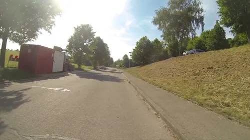

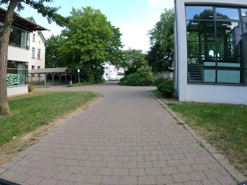


16 more on the map.
Parks, trails and playgrounds22

Mittleres Lonetal
Hiking and trails · 4.7 km
Für die Schwäbische Alb typische Landschaftsform mit besonders schönen Talauen im Lonetal, Wiesentäler, Baumgruppen, Waldlagen,...





10 more on the map.
Restaurants and cafes68

Gasthof Zahn
Restaurant · German · 4.2 km
35 Hauptstraße, Elchingen
Mo-Sa 17:00-23:00; We off; Su 11:00-14:00
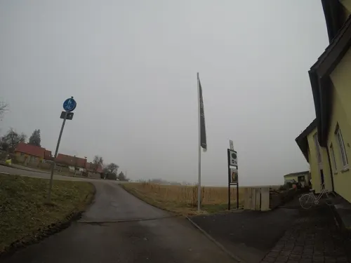
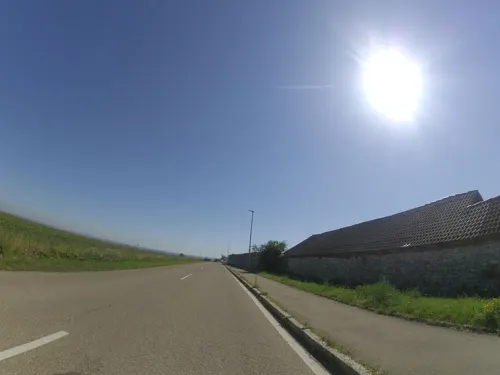
Back
Brewery and winery · 6.5 km
35 Herwigstraße, Langenau
Tu 09:30-12:00,15:00-17:30; We 09:30-12:00; Th-Fr...

Brauereigaststätte Pflug
Restaurant · German, Regional · 6.8 km
7 Wirtsgasse, Langenau
Mo-Tu 11:00-22:00; We off; Th-Fr 11:00-22:00; Sa 10:00-13:30; Su...
Mimino Khachapuri und Wein
Restaurant · Georgian · 4.4 km
2 Dorfäckerstraße, Rammingen
Tu-Fr 11:30-14:30,17:30-23:00; Sa 12:00-24:00; Su 11:30-23:00

Pizzeria Amalfi
Restaurant · Italian · 0.6 km
39 Angertorstraße, Langenau
Mo, We-Sa 17:00-22:30; Su 11:30-22:30



56 more on the map.
History
Today's Langenau was created in 1972 by merging the historical villages of Albeck, Göttingen and Hövelsingen into the village of Langenau. Today, the four villages function as the town's Ortsteile.
From the History section of Langenau on Wikipedia, under CC BY-SA 4.0.
Where to stay17
Churches and places of worship27
Pfarrkirche St. Ambrosius
Church · Lutheran · 6.5 km
22 Langenauer Straße, Leipheim
St. Michael
Church · Roman Catholic · 4.1 km
61 Hauptstraße, Elchingen
Bartholomäuskirche
Church · Protestant · 4.9 km
6 Kirchstraße, Setzingen
Shopping17
Gas and EV charging6
Schools, colleges and libraries17
Healthcare7
Map of Langenau
217 places. The map loads OpenStreetMap tiles when you open it.
Getting there and nearby towns
Memmingen Airport (FMM) is the nearest airport with scheduled flights listed in OpenStreetMap, 57 km away.
- Ulm 14 km southwest, about 14 min by car
- Laichingen 32 km west, about 32 min by car
- Süßen 34 km northwest, about 34 min by car
- Laupheim 35 km southwest, about 35 min by car
- Schwäbisch Gmünd 41 km northwest, about 41 min by car
- Uhingen 46 km northwest, about 46 min by car
- Lorch 46 km northwest, about 46 min by car
- Münsingen 47 km west, about 47 min by car
- Schorndorf 55 km northwest, about 55 min by car
- Augsburg 59 km east, about 59 min by car
Drive times are estimates from straight-line distance, not routes.
Local news
Headlines from INDB.
Reviews, tips and questions
Loading what members have shared...
Sources and licences
- GeoNames (CC BY 4.0): population, coordinates, regions and time zone
- Mapillary (see each image): photos
- OpenStreetMap contributors (ODbL 1.0): places, airports, map data
- Wikidata (CC0 1.0): elevation, founding date, time zone, website, landmarks and historic places
- Wikimedia Commons (see each image): photos
- Wikipedia (CC BY-SA 4.0): overview and history text
Photo credits
- Das Langenauer Rathaus - panoramio, der_psycho_78, CC BY 3.0
- Langenau in Württemberg - Steigerhaus, Bj. 1527, einst Sitz des Oberamtmannes 2011-09-24 - panoramio, der_psycho_78, CC BY 3.0
- Gedenktafel Francis Bioret - Marktplatz Langenau (Württ.), Reutlingendorf, CC BY-SA 4.0
- Gedenkplatz mit Gedenktafel für Francis Bioret in Langenau, Maimaid, CC BY-SA 4.0
- Gedenktafel Francis Bioret Langenau, Maimaid, CC BY-SA 4.0
- Vereine in Langenau, looniverse, CC BY-SA 4.0
- Bahnhof Langenau (Württ), Looniverse, CC BY-SA 4.0
- Bahnhof Langenau (Württ) 2, Looniverse, CC BY-SA 4.0
- Vogelherdhoehle innen, Thilo Parg, CC BY-SA 3.0
- Höhle Hohlenstein Hohlensteinstadel, Thilo Parg, CC BY-SA 3.0
- Blick aus der Bocksteinhöhle ins Lonetal, Klausrohwer, CC BY-SA 4.0
- Pflugbrauerei Hoervelsingen I, Heini Woldschläger, CC BY 3.0
- Battle of Elchingen in 1805 (J. L. Rugendas II), Johann Lorenz Rugendas, Public domain
- Martinskirche1 (cropped), Checker1234, CC BY-SA 3.0
- Albeck (Langenau), Schloß, Dr. Eugen Lehle, CC BY-SA 3.0
- Elchingen Kloster Kirche Sts. Peter & Paul 3, Zairon, CC BY-SA 3.0
- 2016-05-18-Laushalde-81, Barockspot, CC BY-SA 4.0
- Riedheim Ambrosiuskirche 001 (cropped), Tilman2007, CC BY-SA 3.0
- Friedhof mit Kriegerdenkmal, Oberelchingen, Siegfried Epp, CC BY-SA 4.0
- Elchingen Martinstor, Unknown author, Public domain
- Bahnhof Unterelchingen, Empfangsgebäude -2, Siegfried Epp, CC BY-SA 4.0
- Unterelchingen, Hauptstraße 35-001, Tilman2007, CC BY-SA 3.0
- Nersingen, St. Nikolaus-001, Tilman2007, CC BY-SA 3.0
- St. Vitus und Leonhard (Leibi) 1, Looniverse, CC BY-SA 4.0
- Lonetal Lone 04+, Michael Fiegle, CC BY-SA 3.0
- Ballendorf Kirche, Franzpaul, CC BY-SA 3.0
- Langenau St. Leonhard 005, Tilman2007, CC BY 3.0
- Langenau St. Peter-002, Tilman2007, CC BY 3.0
- Bartholomäuskirche Setzingen, Maimaid, CC BY-SA 4.0
- Pantaleonskirche Asselfingen Alb-Donau-Kreis, Buchbibliothek, CC0
- Ochsenbeschlagstelle Riedheim(Leipheim) 2, Lutz Lange ( talk ), CC BY-SA 4.0
- Leipheimer Moos, Bayern, PICTURE 4, Dede454, CC BY-SA 4.0
- Riedheim Ambrosiuskirche 001, Tilman2007, CC BY-SA 3.0
- Kirche St.Michael, Unterelchingen, Siegfried Epp, CC BY-SA 4.0
- Fachmarktzentrum Nersinger Straße 194213, Trop86, CC BY-SA 4.0
- Bohlenweg Riedheimer Moos, Fotografie-Herrmann, CC BY-SA 4.0
- Lang lang ist´s her - panoramio, der_psycho_78, CC BY 3.0
- Geblendet oder erleuchtet - panoramio, der_psycho_78, CC BY 3.0
- Lauschiges Plätzchen - panoramio, der_psycho_78, CC BY 3.0
- Lithografie-Koch-Lindenau, Juergen.Maehnss, CC BY-SA 3.0
- Street-level photo, ray66, CC BY-SA 4.0
- Street-level photo, ray66, CC BY-SA 4.0
- Street-level photo, looniverse, CC BY-SA 4.0
- Street-level photo, tasmaniadevil, CC BY-SA 4.0
- Street-level photo, changchun1, CC BY-SA 4.0
- Street-level photo, maturion, CC BY-SA 4.0
- Street-level photo, changchun1, CC BY-SA 4.0
- Street-level photo, ray66, CC BY-SA 4.0
- Street-level photo, looniverse, CC BY-SA 4.0
- Street-level photo, looniverse, CC BY-SA 4.0
- Street-level photo, ray66, CC BY-SA 4.0
- Street-level photo, looniverse, CC BY-SA 4.0
- Street-level photo, looniverse, CC BY-SA 4.0
- Street-level photo, ray66, CC BY-SA 4.0
- Street-level photo, ray66, CC BY-SA 4.0
- Street-level photo, ray66, CC BY-SA 4.0
- Street-level photo, mfa, CC BY-SA 4.0
- Street-level photo, tasmaniadevil, CC BY-SA 4.0
- Street-level photo, looniverse, CC BY-SA 4.0
- Street-level photo, looniverse, CC BY-SA 4.0
- Street-level photo, ray66, CC BY-SA 4.0
- Street-level photo, ray66, CC BY-SA 4.0
- Street-level photo, gpsvid, CC BY-SA 4.0
- Street-level photo, looniverse, CC BY-SA 4.0


Page built November 8, 2026. Spotted a mistake? Tell us or suggest a place.