


Why visit Großräschen
Townapedia lists 54 museums and landmarks, 7 parks and trails, 60 places to eat, 14 places to stay and 5 attractions in and around town.
Highlights include Neue Bühne Senftenberg, IBA-Terrassen, Kursächsische Postmeilensäule and Steinkreuz Altdöbern.
Weather in Großräschen
Forecast from MET Norway (CC BY 4.0). Full forecast
About Großräschen
Großräschen (German pronunciation: [ˌɡʁoːsˈʁɛʃn̩] ; Lower Sorbian: Rań) is a town in Lower Lusatia, in Germany. Administratively, it is part of the district of Oberspreewald-Lausitz, in the state of Brandenburg.
From the Wikipedia article Großräschen (this version), under CC BY-SA 4.0.
Things to do5





Museums and landmarks54


Steinkreuz Altdöbern
Monument and historic site · 7.4 km
Steinkreuz im Gutshof vom Schloss in Altdöbern, an der Ecke eines Stallgebäudes

Sühnekreuz
Monument and historic site · 7.6 km
In der Südostecke der Friedhofsmauer, Einmündung der August-Bebel-Straße - Ernst-Thälmann-Straße

Gedenkstätte für abgebaggerte Orte
Monument and historic site · 5.0 km
Gedenkstätte für die abgebaggerten Orte Anna-Mathilde, Birkenhain, Bückgen, Großräschen-Süd, Rauno, Reppist und Sauo
Brikettpresse
Monument and historic site · 6.1 km
Liegende Einzylindermaschine. Die Brikettpresse entstammt der am 24.06.1978 durch eine Kohlenstaubverpuffung zerstörten Brikettfabrik...

Ernst Sauer
Monument and historic site · 7.5 km
Betonstele mit einem Metallrelief des Gesichts des Bildhauers und einer Informations-/Gedenktafel darunter
Heinz Klevenow
Monument and historic site · 7.1 km
In Erinnerung an den Schauspieler, Regisseur, Intendanten Heinz Klevenow. 28.08.1940 - 04.03.2021
42 more on the map.
Parks, trails and playgrounds7





Restaurants and cafes60
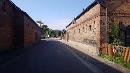
Café Scheune im Mühlenhof
Cafe · Coffee, Cake · 5.2 km
Das Team besteht ausschließlich aus Familie und Freunden. Dieses Gefühl von Zuhause gibt die Café-Scheune weiter und es spiegelt sich in...
12 Sedlitzer Bahnhofstraße, Senftenberg
Sa, Su 13:00-18:00
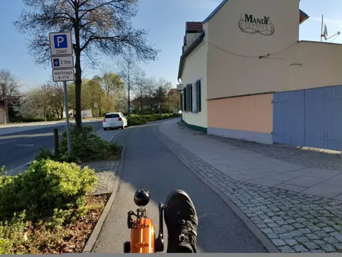
Die Drogerie
Restaurant · 7.6 km
Küvhenschluss 21:30
2 Jüttendorfer Anger, Senftenberg
Mo-Sa 09:00-23:00; Su 10:00-16:00
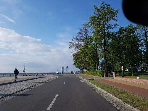
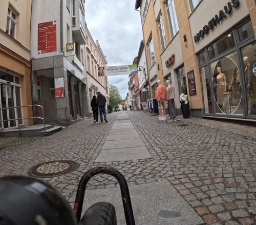
Yakisoba Sushi
Restaurant · Sushi · 7.5 km
1 Steindamm, Senftenberg
Mo-Fr 10:30-14:00,16:00-19:00; Sa 16:00-19:00; Su,PH off


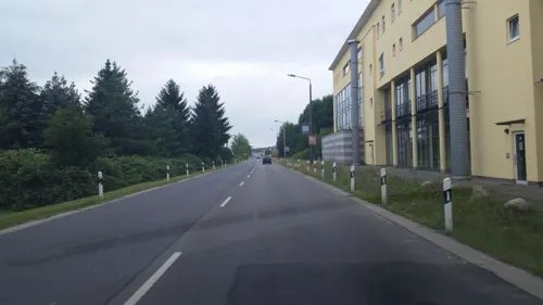
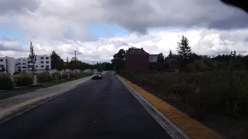
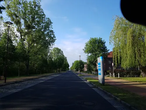
Haus der Jugend Mensa und Saal
Restaurant · Regional · 0.7 km
56 Seestraße, Großräschen
Mo-Fr 11:00-14:00
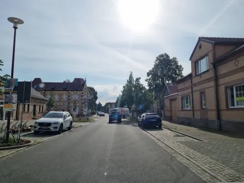
City Pizza Pizza Express
Restaurant · Pizza, Pasta, Salad, Indian
11 Rudolf-Breitscheid-Straße, Großräschen
Mo-Sa 11:00-14:00,17:00-23:00; Su,PH 11:00-14:00,17:00-22:00


Gasthof Gropp
Restaurant · Regional · 6.0 km
9 Saalhausener Dorfstraße, Großräschen
We-Sa 17:00-23:00; Su 11:00-14:00,17:00-23:00
48 more on the map.
History
Both Großräschen and Kleinräschen were first mentioned in an official document in 1370. The form of settlement and the name suggest that Kleinräschen is older than Großräschen. The villages developed slowly; the Wendish population depended almost entirely on agriculture. From the middle of the 19th century onwards, heavy industry developed, and the villages grew rapidly. From 1815 to 1947, they were part of the Prussian Province of Brandenburg. In 1965, they were granted the status of a town, having been incorporated into one community in 1925. From 1952 to 1990, Großräschen was part of the Bezirk Cottbus of East Germany. The 1980s brought the destruction of Bückgen, whose 4000 inhabitants had to leave their homes and were moved into blocks of flats. After the fall of the Berlin Wall, the industrial decline (glass manufacturing, brick production, mining and agriculture used to appear in the town's coat of arms) caused heavy unemployment. The completion of the Grossraschen lake instigated a tourism industry with lakeside hotels, town marina harbor, rental holiday homes, and a lakeside winery.
From the History section of Großräschen on Wikipedia, under CC BY-SA 4.0.
Where to stay14
Pension am Lausitzring
Motel and hotel · 6.8 km
23 Freienhufener Straße, Schipkau
Ferienhaus zwischen den Seen
Motel and hotel · 5.2 km
14a Sedlitzer Schulstraße, Senftenberg
Ferienwohnung Brösel - FeWo Brösel
Motel and hotel · 5.4 km
9 Alte Senftenberger Straße, Senftenberg
Churches and places of worship6
Shopping18
Gas and EV charging8
Schools, colleges and libraries15
Brandenburgische Technische Universität Cottbus-Senftenberg
School · 7.5 km
1 Universitätsplatz, Senftenberg
Brandenburg University of Technology Cottbus-Senftenberg
School · 7.3 km
Healthcare7
Medizinische Einrichtungsgesellschaft
Clinic and pharmacy · 6.7 km
2 a Dr.-Dorothea-Erxleben-Straße, Senftenberg
Sonnen-Apotheke
Clinic and pharmacy · 1.1 km
22a Wilhelm-Pieck-Straße, Großräschen
Map of Großräschen
194 places. The map loads OpenStreetMap tiles when you open it.
Getting there and nearby towns
Dresden Airport (DRS) is the nearest airport with scheduled flights listed in OpenStreetMap, 53 km away.
- Senftenberg 7 km south, about 7 min by car
- Lauchhammer 20 km southwest, about 20 min by car
- Kolkwitz 24 km northeast, about 24 min by car
- Lubnjow 31 km north, about 31 min by car
- Luckau 36 km northwest, about 36 min by car
- Lubin 40 km north, about 40 min by car
- Dresden 63 km south, about 1 h by car
- Guben 63 km northeast, about 1 h by car
- Jüterbog 79 km northwest, about 1 h 15 min by car
- Luckenwalde 81 km northwest, about 1 h 15 min by car
Drive times are estimates from straight-line distance, not routes.
Local news
Headlines from INDB.
Reviews, tips and questions
Loading what members have shared...
Sources and licences
- GeoNames (CC BY 4.0): population, coordinates, regions and time zone
- Mapillary (see each image): photos
- OpenStreetMap contributors (ODbL 1.0): places, airports, map data
- Wikidata (CC0 1.0): elevation, founding date, time zone, website, landmarks and historic places
- Wikimedia Commons (see each image): photos
- Wikipedia (CC BY-SA 4.0): overview and history text
Photo credits
- Großräschen Luftbild 2005, Jörg Friebe, www.Lausitz-Bild.de, CC BY-SA 3.0
- Großräschen, Haus Seestraße 1, Dguendel, CC BY 4.0
- GroßräschenRudolfBreitscheid10, Global Fish, CC BY-SA 4.0
- GroßräschenBahnhofstr1, Global Fish, CC BY-SA 4.0
- GroßräschenGartenstr1, Global Fish, CC BY-SA 4.0
- Großräschen, Säule vor der Stadtpfarrkirche, Dguendel, CC BY 4.0
- Großräschen, Haus Calauer Straße 13 - Karl-Liebknecht-Straße 1, Dguendel, CC BY 4.0
- GroßräschenrudolfBreitscheidKandelaber, Global Fish, CC BY-SA 4.0
- GroßräschenNeueStr10, Global Fish, CC BY-SA 4.0
- GroßräschenAlteLindenstr27, Global Fish, CC BY-SA 4.0
- BfGroßräschen, Global Fish, CC BY-SA 3.0
- 29420-Großräschen-1957-Rudolf-Breitscheid-Straße-Brück & Sohn Kunstverlag, Brück & Sohn Kunstverlag Meißen, CC BY-SA 3.0
- 29280-Großräschen-1956-Katholische Kirche-Brück & Sohn Kunstverlag, Brück & Sohn Kunstverlag Meißen, CC BY-SA 3.0
- 29431-Großräschen-1957-Volkshaus-Brück & Sohn Kunstverlag, Brück & Sohn Kunstverlag Meißen, CC BY-SA 3.0
- 29429-Großräschen-1957-Evangelische Kirche-Brück & Sohn Kunstverlag, Brück & Sohn Kunstverlag Meißen, CC BY-SA 3.0
- 29279-Großräschen-1956-Platz der Einheit-Brück & Sohn Kunstverlag, Brück & Sohn Kunstverlag Meißen, CC BY-SA 3.0
- 29477-Großräschen-1957-Kirche-Brück & Sohn Kunstverlag, Brück & Sohn Kunstverlag Meißen, CC BY-SA 3.0
- 29430-Großräschen-1957-Betriebspolikklinik-Brück & Sohn Kunstverlag, Brück & Sohn Kunstverlag Meißen, CC BY-SA 3.0
- GroßräschenSeestr40, Global Fish, CC BY-SA 4.0
- Großräschen, Allee der Steine, Stein-Installation 4, Nordostansicht, 01, Wilhelm Zimmerling PAR, CC BY-SA 4.0
- Großräschen, Allee der Steine, Stein-Installation 2, Nordostansicht, 01, Wilhelm Zimmerling PAR, CC BY-SA 4.0
- Großräschen, Allee der Steine, Stein-Installation 1, Nordansicht, 01, Wilhelm Zimmerling PAR, CC BY-SA 4.0
- Großräschen, Allee der Steine, Stein-Installation 3, Westansicht, 01, Wilhelm Zimmerling PAR, CC BY-SA 4.0
- Großräschen, Allee der Steine, Stein-Installation 4, Ostansicht, 02, Wilhelm Zimmerling PAR, CC BY-SA 4.0
- Großräschen, Allee der Steine, Stein-Installation 4, Ostansicht, 01, Wilhelm Zimmerling PAR, CC BY-SA 4.0
- Großräschen, Seestraße, Geländeplan am Zugang zur Allee der Steine, 01, Wilhelm Zimmerling PAR, CC BY-SA 4.0
- Großräschen, Seestraße, Information am Zugang zur Allee der Steine, 01, Wilhelm Zimmerling PAR, CC BY-SA 4.0
- Großräschen, Seestraße, Gewaltopfer-Denkmal, Ostansicht, 01, Wilhelm Zimmerling PAR, CC BY-SA 4.0
- Großräschen, Seestraße, Gewaltopfer-Denkmal, Ostansicht, 02, Wilhelm Zimmerling PAR, CC BY-SA 4.0
- Großräschen, Seestraße, Gewaltopfer-Denkmal und Allee der Steine, Ostansicht, 01, Wilhelm Zimmerling PAR, CC BY-SA 4.0
- Großräschen, Seestraße, Wegeschild Allee der Steine, 01, Wilhelm Zimmerling PAR, CC BY-SA 4.0
- Großräschen, Allee der Steine, Stein-Installation 5, Ostansicht, 03, Wilhelm Zimmerling PAR, CC BY-SA 4.0
- Großräschen, Allee der Steine, Stein-Installation 5, Ostansicht, 01, Wilhelm Zimmerling PAR, CC BY-SA 4.0
- Altdoebern Postmeilensaeule-01, Radler59, CC BY-SA 4.0
- Grossraeschen antoniuskirche3, Z thomas, CC BY 3.0
- Senftenberg Neue Bühne 1, Photo: Andreas Praefcke, CC BY 3.0
- Altdoebern castle, Doris Antony , Berlin, CC BY-SA 3.0
- Bibliothek senftenberg 2018-09-29 (1), Z thomas, CC BY-SA 4.0
- Großräschener See (13), Biberbaer, CC BY-SA 4.0
- Senftenberg walterrathenauschule, Z thomas, CC BY 3.0
- Grossraeschen zieglerschule4, Z thomas, CC BY 3.0
- Kath Kirche Altdoebern 3, burts, CC BY-SA 4.0
- Senftenberg Steinkreuz I, Radler59, CC BY-SA 3.0
- Niederlausitz Senftenberg 07-2015 img3 Peter-Paul-Kirche, A.Savin, CC BY-SA 3.0
- Sfb kathkirche seite, Z thomas, CC BY 3.0
- Catholic church Großräschen 2016 SE, Hans G. Oberlack, CC BY-SA 4.0
- Großräschener See, Westansicht von der Aussichtsplattform Victoriahöhe, 01, Wilhelm Zimmerling PAR, CC BY-SA 4.0
- Gedenkstein Ernst-Sauer-Platz (Senftenberg) Ernst Sauer&&2014, OTFW , Berlin, CC BY-SA 3.0
- Senftenberg Alter Friedhof lub 2023-08-21 img03, Lukas Beck, CC BY-SA 4.0
- Street-level photo, dsmm, CC BY-SA 4.0
- Street-level photo, dsmm, CC BY-SA 4.0
- Street-level photo, dsmm, CC BY-SA 4.0
- Street-level photo, dsmm, CC BY-SA 4.0
- Street-level photo, britiger, CC BY-SA 4.0
- Street-level photo, Birken_Liege, CC BY-SA 4.0
- Street-level photo, dsmm, CC BY-SA 4.0
- Street-level photo, dsmm, CC BY-SA 4.0
- Street-level photo, sp8962de, CC BY-SA 4.0
- Street-level photo, dsmm, CC BY-SA 4.0
- Street-level photo, dsmm, CC BY-SA 4.0
- Street-level photo, dsmm, CC BY-SA 4.0
- Street-level photo, dsmm, CC BY-SA 4.0
- Street-level photo, dsmm, CC BY-SA 4.0
- Street-level photo, dsmm, CC BY-SA 4.0
- Street-level photo, dsmm, CC BY-SA 4.0
- Street-level photo, dsmm, CC BY-SA 4.0
- Street-level photo, sp8962de, CC BY-SA 4.0
- Street-level photo, dsmm, CC BY-SA 4.0
- Street-level photo, dsmm, CC BY-SA 4.0
- Street-level photo, dsmm, CC BY-SA 4.0
- Street-level photo, dsmm, CC BY-SA 4.0
- Street-level photo, dsmm, CC BY-SA 4.0
- Street-level photo, dsmm, CC BY-SA 4.0
- Street-level photo, soulcover, CC BY-SA 4.0
- Street-level photo, Birken_Liege, CC BY-SA 4.0
- Street-level photo, dsmm, CC BY-SA 4.0


Page built November 8, 2026. Spotted a mistake? Tell us or suggest a place.