


Why visit Luckenwalde
Townapedia lists 31 museums and landmarks, 9 parks and trails, 61 places to eat, 6 places to stay and 5 attractions in and around town.
Highlights include Tierpark Luckenwalde, Union Filmtheater, Heimatmuseum and Katholisches Pfarrhaus Luckenwalde.
Weather in Luckenwalde
Forecast from MET Norway (CC BY 4.0). Full forecast
About Luckenwalde
Luckenwalde (German: [ˌlʊkn̩ˈvaldə] ; Upper and Lower Sorbian: Łukowc, Upper Sorbian: [ˈwukɔfts], Lower Sorbian: [ˈwukɔwts]) is the capital of the Teltow-Fläming district in the state of Brandenburg in eastern Germany. It is situated on the Nuthe river north of the Fläming Heath, at the eastern rim of the Nuthe-Nieplitz Nature Park, about 50 km (31 mi) south of Berlin. The town area includes the villages of Frankenfelde and Kolzenburg.
From the Wikipedia article Luckenwalde (this version), under CC BY-SA 4.0.
Things to do5




Stadttheater Luckenwalde
Cinema and theater · 0.7 km
14 Grünstraße, Luckenwalde

Museums and landmarks31

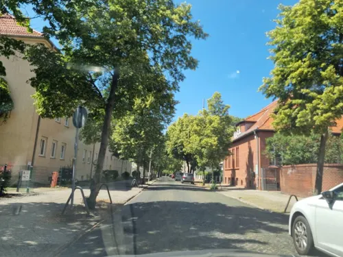
Katholisches Pfarrhaus Luckenwalde
Monument and historic site
3 Lindenallee, Luckenwalde
Tu 15:00-18:00, Th 10:00-12:00; PH off

Ehemalige Hutfabrik
Monument and historic site · 1.5 km
1c Industriestraße, Luckenwalde
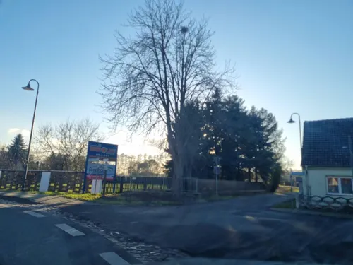

Villa Lindenberg
Monument and historic site · 3.1 km
1 Chausseestraße, Luckenwalde


Gefallenendenkmal (1848 & 1864)
Monument and historic site
Denkmal für die Gefallenen der Schleswig-Holsteinischen Kriege 1848 und 1864

Gefallenendenkmal (1866 & 1870/71)
Monument and historic site
Denkmal für die Gefallenen der Kriege 1866 und 1870/71

Schlauchturm
Monument and historic site
Schlauchturm des Feuerwehrhauses, Markt in Luckenwalde

Wasserturm
Monument and historic site · 1.1 km
Wasserturm des denkmalgeschützten Stadtbades in Luckenwalde


19 more on the map.
Parks, trails and playgrounds9




Restaurants and cafes61
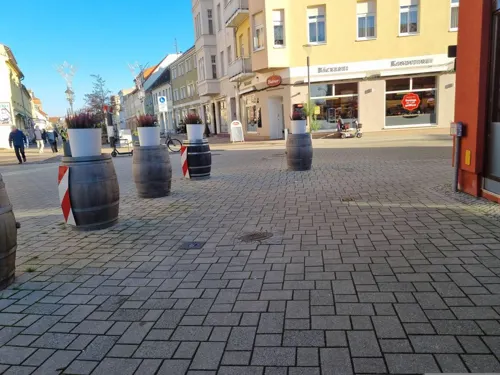

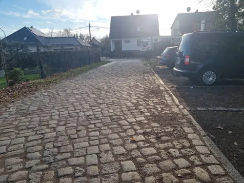
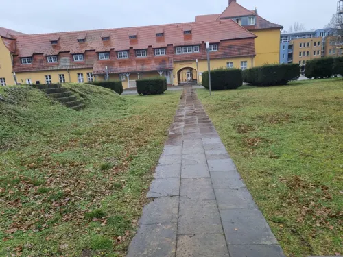
Restaurant Hotel Vierseithof
Restaurant · German
20 Haag, Luckenwalde
Mo-Sa 06:30-09:30; Su 07:30-10:30
Royal Mahal
Restaurant · Italian, Indian
16 Breite Straße, Luckenwalde
Tu-Su 11:30-14:00, Tu-Su 17:30-22:30
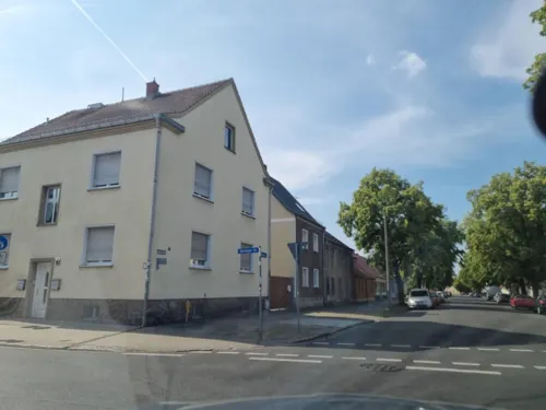
Taverna Periklis
Restaurant · Greek · 0.8 km
42 Jüterboger Straße, Luckenwalde
Tu-Fr 11:30-14:00,17:00-23:00; Sa-Su 11:30-23:00; PH 11:30-23:00
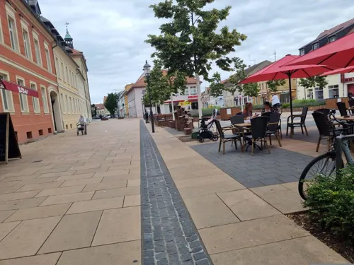
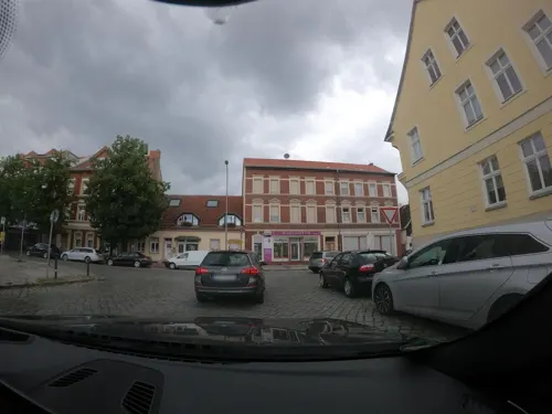
Linden Café-Restaurant
Restaurant
38 Zinnaer Straße, Luckenwalde
Mo-Fr 08:00-22:00; Sa 14:00-22:00; Su 09:30-22:00


49 more on the map.
Where to stay6
Churches and places of worship13
Dorfkirche Frankenfelde
Church · Protestant · 4.6 km
Dorfstraße, Luckenwalde
Dorfkirche Jänickendorf
Church · Protestant · 5.7 km
42a Alte Hauptstraße, Nuthe-Urstromtal
Dorfkirche Ruhlsdorf
Church · Protestant · 4.0 km
2a Kirchplatz, Nuthe-Urstromtal
Shopping14
Gas and EV charging4
Schools, colleges and libraries11
Allgemeine Förderschule „Johann Heinrich Pestalozzi“
School · 0.7 km
2a Pestalozzistraße, Luckenwalde
Healthcare8
Map of Luckenwalde
162 places. The map loads OpenStreetMap tiles when you open it.
Getting there and nearby towns
Berlin Brandenburg Airport "Willy Brandt" (BER) is the nearest airport with scheduled flights listed in OpenStreetMap, 38 km away.
- Zossen 24 km northeast, about 24 min by car
- Ludwigsfelde 24 km north, about 24 min by car
- Michendorf 27 km north, about 27 min by car
- Stahnsdorf 33 km north, about 33 min by car
- Potsdam 35 km north, about 35 min by car
- Teltow 35 km north, about 35 min by car
- Schönefeld 40 km northeast, about 40 min by car
- Zeuthen 42 km northeast, about 42 min by car
- Berlin 51 km north, about 51 min by car
- Nauen 61 km north, about 1 h by car
Drive times are estimates from straight-line distance, not routes.
Local news
Headlines from INDB.
Reviews, tips and questions
Loading what members have shared...
Sources and licences
- GeoNames (CC BY 4.0): population, coordinates, regions and time zone
- Mapillary (see each image): photos
- OpenStreetMap contributors (ODbL 1.0): places, airports, map data
- Wikidata (CC0 1.0): elevation, founding date, time zone, website
- Wikimedia Commons (see each image): photos
- Wikipedia (CC BY-SA 4.0): overview and history text
Photo credits
- Denkmal Schlwig Gefallene Luckenwalde, Clemensfranz, CC BY-SA 3.0
- Gefallenen Krieg 1866 1870 1871 Luckenwalde, Clemensfranz, CC BY-SA 3.0
- Luckenwalde Markt Schlauchturm, Radler59 ( talk ), CC BY-SA 4.0
- Puschkinstraße 36 Luckenwalde, Clemensfranz, CC BY-SA 3.0
- Lindenallee 3 5 kath Kirche Luckenwalde, Clemensfranz, CC BY-SA 3.0
- Poststraße 25 Luckenwalde, Clemensfranz, CC BY-SA 3.0
- Puschkinstraße 18 Luckenwalde, Clemensfranz, CC BY-SA 3.0
- Puschkinstraße 19 Luckenwalde, Clemensfranz, CC BY-SA 3.0
- Puschkinstraße 22 Luckenwalde, Clemensfranz, CC BY-SA 3.0
- Poststraße 21 Luckenwalde, Clemensfranz, CC BY-SA 3.0
- Luckenwalde, Puschkinstraße 21, Plasmarelais, CC BY-SA 3.0
- Lindenallee 16 Amtsgericht Luckenwalde, Clemensfranz, CC BY-SA 3.0
- Poststraße 19 Post Luckenwalde, Clemensfranz, CC BY-SA 3.0
- Poststraße 30a, 31 Luckenwalde, Plasmarelais, CC BY-SA 3.0
- Puschkinstraße 38 Luckenwalde, Clemensfranz, CC BY-SA 3.0
- Puschkinstraße 28 Luckenwalde, Clemensfranz, CC BY-SA 3.0
- Vierseithof 2013 Luckenwalde, Clemensfranz, CC BY-SA 3.0
- Denkmal Schlacht 1867 in Luckenwalde - panoramio, Löwe 48, CC BY-SA 3.0
- Denkmal 1871 in Luckenwalde - panoramio, Löwe 48, CC BY-SA 3.0
- Denkmal für die Gefallenen der Kriege 1866 und 1870-1871 Luckenwalde, Clemensfranz, CC BY-SA 3.0
- Denkmal für die Gefallenen der Schleswig-Holsteinischen Kriege 1848 und 1864 Luckenwalde, Clemensfranz, CC BY-SA 3.0
- Luckenwalde-Poststr-Post, Global Fish, CC BY-SA 3.0
- Luckenwalde Markt Schlauchturm-01, Radler59 ( talk ), CC BY-SA 4.0
- Käthe-Kollwitz-Straße 17 Luckenwalde, Clemensfranz, CC BY-SA 4.0
- Lindenallee 13-15 Luckenwalde, Clemensfranz, CC BY-SA 3.0
- Vierseithof Luckenwalde, Clemensfranz, CC BY-SA 3.0
- Luckenwalde, Stadtkirche Sankt Johannis Dm09105414 en de Marktturm Dm09105415 IMG 1530 2026-05-17 16.44, Michielverbeek, CC BY 4.0
- Trafostation - Luckenwalde - panoramio, Löwe 48, CC BY-SA 3.0
- Freiwillige Feuerwehr 'Ernst Kloß' Luckenwalde, Plasmarelais, CC BY-SA 3.0
- Markt Schlauchturm Luckenwalde, Clemensfranz, CC BY-SA 3.0
- Haag 27 Luckenwalde, Clemensfranz, CC BY-SA 3.0
- Stall Brauerei Luckenwalde, Clemensfranz, CC BY-SA 3.0
- Markt 11 Luckenwalde, Clemensfranz, CC BY-SA 3.0
- Markt 12a Luckenwalde, Clemensfranz, CC BY-SA 3.0
- Haag 12 Luckenwalde, Plasmarelais, CC BY-SA 3.0
- Goethestraße 7 Luckenwalde, Clemensfranz, CC BY-SA 3.0
- Kirche Luckenwalde Innen 2022CF 15, Clemensfranz, CC BY-SA 4.0
- Luckenwalde tower church, Doris Antony , Berlin, CC BY-SA 3.0
- Ehemalige Kommandanturgebäude des Stalag III A, Max-78, CC BY-SA 3.0
- Hutfabrik Friedrich Steinberg Herrmann & Co, Lumu ( talk ), CC BY-SA 3.0 de
- Salzgitter Luckenwalde, Trümmer Lümmler, CC BY-SA 4.0
- Luckenwalde Marktturm-01, Radler59 ( talk ), CC BY-SA 4.0
- KolzenburgChaussee1, Global Fish, CC BY-SA 4.0
- Luckenwalde - Stalag IIIa - panoramio (5), Löwe 48, CC BY-SA 3.0
- Luckenwalde Stadtbad Wasserturm, Oberlausitzerin64, CC BY-SA 4.0
- Dorfkirche Frankenfelde Denkmal Weltkriege Vorderseite, Assenmacher, CC BY-SA 4.0
- Dorfkirche NU-Jänickendorf Gefallenendenkmal, Assenmacher, CC BY-SA 4.0
- Josephskirche Luckenwalde 2017 WNW, Hans G. Oberlack, CC BY 4.0
- Jakobikirche (Luckenwalde) - Total, Plasmarelais, CC BY-SA 3.0
- Luckenwalde St. Johanniskirche-01, Radler59 ( talk ), CC BY-SA 4.0
- Frankenstraße 10 Luckenwalde, Plasmarelais, CC BY-SA 3.0
- Dorfkirche NU-Woltersdorf Südwestansicht, Assenmacher, CC BY-SA 4.0
- Dorfkirche Frankenfelde Nordansicht, Assenmacher, CC BY-SA 4.0
- Dorfkirche NU-Jänickendorf Südansicht, Assenmacher, CC BY-SA 4.0
- Kirche Neuhof Jüterbog, Clemensfranz, CC BY-SA 3.0
- Dorfkirche Ruhlsdorf Nordostansicht, Assenmacher, CC BY-SA 4.0
- Stadttheater Luckenwalde, Clemensfranz, CC BY-SA 3.0
- Stadtpark Luckenwalde, Clemensfranz, CC BY-SA 3.0
- Street-level photo, dsmm, CC BY-SA 4.0
- Street-level photo, dsmm, CC BY-SA 4.0
- Street-level photo, dsmm, CC BY-SA 4.0
- Street-level photo, dsmm, CC BY-SA 4.0
- Street-level photo, dsmm, CC BY-SA 4.0
- Street-level photo, moenk, CC BY-SA 4.0
- Street-level photo, dsmm, CC BY-SA 4.0
- Street-level photo, dsmm, CC BY-SA 4.0
- Street-level photo, dsmm, CC BY-SA 4.0
- Street-level photo, dsmm, CC BY-SA 4.0
- Street-level photo, jenki, CC BY-SA 4.0
- Street-level photo, bahnpirat, CC BY-SA 4.0
- Street-level photo, britiger, CC BY-SA 4.0
- Street-level photo, dsmm, CC BY-SA 4.0
- Street-level photo, dsmm, CC BY-SA 4.0
- Street-level photo, dsmm, CC BY-SA 4.0
- Street-level photo, bahnpirat, CC BY-SA 4.0
- Street-level photo, dsmm, CC BY-SA 4.0
- Street-level photo, dsmm, CC BY-SA 4.0
- Street-level photo, dsmm, CC BY-SA 4.0
- Street-level photo, dsmm, CC BY-SA 4.0


Page built November 8, 2026. Spotted a mistake? Tell us or suggest a place.