


Lubnjow, Germany
Lübbenau/Spreewald
Lubnjow is a town of 15,778 people in Brandenburg, Germany.
Why visit Lubnjow
Townapedia lists 61 museums and landmarks, 43 parks and trails, 129 places to eat, 59 places to stay and 12 attractions in and around town.
Highlights include Spreewald Müller, Alpaca Finca, Spreewald-Museum Lübbenau and Freilandmuseum Lehde.
Weather in Lubnjow
Forecast from MET Norway (CC BY 4.0). Full forecast
About Lubnjow
Lübbenau (German pronunciation: [lʏbəˈnaʊ] , Lower Sorbian: Lubnjow [ˈlubnʲɔw]; officially Lübbenau/Spreewald, L.S. Lubnjow/Błota [ˈbwɔta] (meaning Lübbenau/Spree Forest) is a town in the Upper Spree Forest-Lusatia District of Brandenburg, Germany. It is located in the bilingual German/Sorbian region of (Lower) Lusatia, on the river Spree, where this forms a large inland delta surrounded by woodland, called "Spree Forest", about 82 km (51 mi) southeast of Berlin. The town is best known through the incorporated villages of Lehde/Lědy and Leipe/Lipje, villages where there just exist anabranches of the Spree River instead of streets.
From the Wikipedia article Lübbenau (this version), under CC BY-SA 4.0.
Things to do12
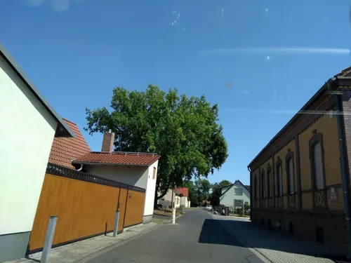



Spreewälder Hofladen
Farm and orchard · 7.9 km
Th-Su,Mo 10:00-17:00
Spreewaldladen
Farm and orchard · 7.7 km
Mo-Fr 07:30-09:30,16:30-19:00; Sa 07:30-11:00,16:00-19:00; Su 09:00-11:00
Angerhof Bischdorf
Farm and orchard · 7.3 km
14a Bischdorfer Dorfstraße, Lübbenau/Spreewald



Museums and landmarks61

Spreewald-Museum Lübbenau
Museum · 1.2 km
Gerichtsgebäude (heute Spreewaldmuseum), Topfmarkt 12 in Lübbenau/Spreewald
12 Topfmarkt, Lübbenau/Spreewald
Apr-Oct Tu-Su 10:00-17:30; Nov-Mar Tu-Su 11:00-16:00


Slawenburg Raddusch - Słowjański gród w Radušu
Museum · 8.4 km
1 Zur Slawenburg, Vetschau/Spreewald
We 10:00-18:00

Museum Schloss Lübben
Museum · 9.4 km
14 Ernst-von-Houwald-Damm, Lübben (Spreewald)
PH,We-Su 11:00-17:00


Schloß Neuhaus
Monument and historic site · 8.4 km
7 Am Neuhaus, Lübben (Spreewald)

Boots- und Zweiradverleih Gebauer
Monument and historic site · 9.3 km
18 Lindenstraße, Lübben (Spreewald)
Mo-Fr 09:00-18:00



Kreuzstein
Monument and historic site · 2.5 km
Kreuzstein vor dem Gebäude Grundschänke Nr. 1 in Lübbenau/Spreewald OT Krimnitz. Bodendenkmalnummer 80362

49 more on the map.
Parks, trails and playgrounds43

Spreewelten Bad
Sports field and stadium · 0.6 km
13 Alte Huttung, Lübbenau/Spreewald
Fr-Sa 10:00-23:00; Su-Th 10:00-22:00





Delphin-Hallenbad
Sports field and stadium · 1.0 km
11b Werner-Seelenbinder-Straße, Lübbenau/Spreewald


31 more on the map.
Restaurants and cafes129

Zum grünen Strand der Spree
Restaurant · German · 1.5 km
77 Dammstraße, Lübbenau/Spreewald
Sa,Su 11:00-21:00; Mo 11:00-20:00; We-Fr 11:00-20:00

Kaupen No.6
Restaurant · Regional · 2.1 km
6 Kaupen, Lübbenau/Spreewald
May-Aug Tu-We 11:00-17:00, Th-Su 12:00-21:00; Oct We 11:00-17:00,...


Brauhaus & Pension Babben
Bar and pub · Regional, Snack · 1.4 km
2 Brauhausgasse, Lübbenau/Spreewald
Apr-Oct Mo-Su 16:00-22:00
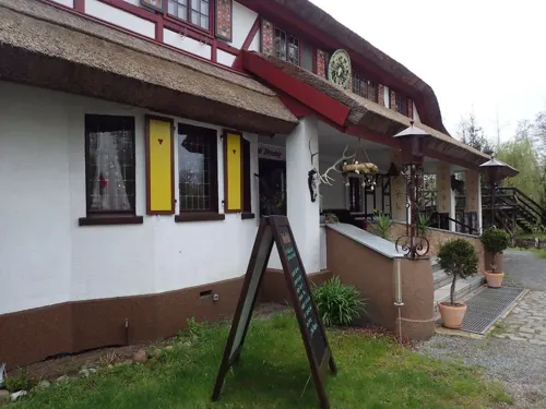

Die Suppeninsel
Cafe · German
22 Straße des Friedens, Lübbenau/Spreewald
Mo-Fr 11:00-17:00; Sa 12:00-17:00
Gasthaus Froschkönig
Restaurant · German, Regional · 6.3 km
17 Leiper Dorfstraße, Lübbenau/Spreewald
We-Su,PH 11:30-17:00; Mo,Tu off
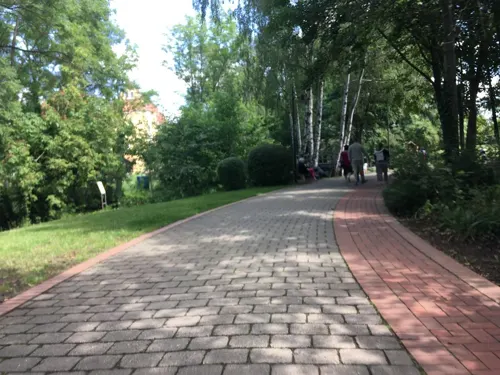
Im alten Gärtnerhaus
Restaurant · Regional, Mediterranean · 9.4 km
6 Ernst-von-Houwald-Damm, Lübben (Spreewald)
Tu-Fr 14:00-22:00; Sa-Su 12:00-22:00
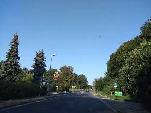
Landwarenhaus Gross Beuchow
Restaurant · 3.4 km
Local food restaurant and grocery store
10 Beuchower Hauptstraße, Lübbenau/Spreewald
Mo, Tu 08:00-11:00; We, Th, Su 08:00-18:00; Fr, Sa 08:00-20:00
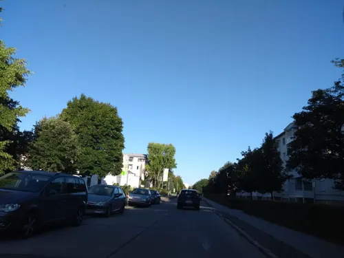
Megas Alexandros
Restaurant · Greek
20b Straße der Einheit, Lübbenau/Spreewald
Tu-Fr 11:30-14:30, Tu-Th 17:00-23:00, Fr 17:00-24:00; Sa-Su 11:30-24:00
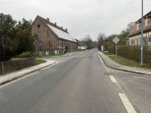


Restaurant Alte Kirche
Restaurant · German · 3.6 km
18 Beuchower Hauptstraße, Lübbenau/Spreewald
Th-Sa 15:00-22:00; Su 10:00-15:00
117 more on the map.
History
Lübbenau was first mentioned in a sales document in 1315 but is believed to be much older due to excavations below the castle that show settlement from the 8th or 9th century.
From 1364 to 1635, Lübbenau was part of the Kingdom of Bohemia, and then until 1815 Lübbenau was a part of the Electorate of Saxony. From 1815 to 1947, Lübbenau was part of the Prussian Province of Brandenburg. From 1952 to 1990, it was part of the Bezirk Cottbus of East Germany.
From the History section of Lübbenau on Wikipedia, under CC BY-SA 4.0.
Where to stay59
Strandhaus - Boutique Resort & Spa
Motel and hotel · 9.3 km
16 Ernst-von-Houwald-Damm, Lübben (Spreewald)
Churches and places of worship10
Sankt-Pankratius-Kirche
Church · Protestant · 8.4 km
26 Steinkirchener Dorfstraße, Lübben (Spreewald)
Dorfkirche
Church · Protestant · 1.5 km
14 Hauptstraße, Lübbenau/Spreewald
Dorfkirche
Church · Protestant · 7.0 km
8 Hindenberger Dorfstraße, Lübbenau/Spreewald
Shopping28
Gas and EV charging14
TotalEnergies
Gas station · 2.2 km
2c Boblitzer Chausseestraße, Lübbenau/Spreewald
Schools, colleges and libraries8
Oberschule "Ehm Welk"
School
42 Alexander-von-Humboldt-Straße, Lübbenau/Spreewald
Traugott-Hirschberger-Grundschule
School · 0.7 km
29b Poststraße, Lübbenau/Spreewald
Werner-Seelenbinder-Grundschule
School · 0.9 km
10 Otto-Grotewohl-Straße, Lübbenau/Spreewald
Healthcare8
Medizinisches Zentrum Lübbenau
Clinic and pharmacy · 0.9 km
42 Robert-Koch-Straße, Lübbenau/Spreewald
Map of Lubnjow
250 places. The map loads OpenStreetMap tiles when you open it.
Getting there and nearby towns
Berlin Brandenburg Airport "Willy Brandt" (BER) is the nearest airport with scheduled flights listed in OpenStreetMap, 64 km away.
- Senftenberg 38 km south, about 38 min by car
- Zossen 52 km northwest, about 52 min by car
- Zeuthen 59 km northwest, about 59 min by car
- Luckenwalde 59 km northwest, about 59 min by car
- Schönefeld 66 km northwest, about 1 h by car
- Ludwigsfelde 68 km northwest, about 1 h 15 min by car
- Teltow 75 km northwest, about 1 h 15 min by car
- Strausberg 80 km north, about 1 h 15 min by car
- Berlin 82 km northwest, about 1 h 15 min by car
- Potsdam 85 km northwest, about 1 h 30 min by car
Drive times are estimates from straight-line distance, not routes.
Local news
Headlines from INDB.
Reviews, tips and questions
Loading what members have shared...
Sources and licences
- GeoNames (CC BY 4.0): population, coordinates, regions and time zone
- Mapillary (see each image): photos
- OpenStreetMap contributors (ODbL 1.0): places, airports, map data
- Wikidata (CC0 1.0): elevation, founding date, time zone, website, landmarks and historic places
- Wikimedia Commons (see each image): photos
- Wikipedia (CC BY-SA 4.0): overview and history text
Photo credits
- Vetschau - Wendisch-Deutsche Doppelkirche 0002, Stefan Fussan, CC BY-SA 3.0
- Slawenburg Raddusch (Raduš) 01, Pudelek (Marcin Szala), CC BY-SA 3.0
- Lübbenau Schloss, Uwe Barghaan, CC BY 3.0
- Postmeilensäule Lübbenau, Gabriele Delhey, CC BY-SA 3.0
- Dorfkirche Steinkirchen Nordseite, Olaf Meister, CC BY-SA 3.0
- Spreewaldmuseum, Olaf Meister, CC BY-SA 3.0
- Lübbenau katholische Kirche, Olaf Meister, CC BY-SA 3.0
- Asklepios Fachklinikum Luebben 01, J.-H. Janßen, CC BY-SA 3.0
- NSG Innerer Oberspreewald Nordfliess 015, Jan-Herm Janßen, CC BY 4.0
- Willmersdorf Stoebritz Dorfkirche 05, Jan-Herm Janßen, CC BY-SA 4.0
- Terpt Evangelische Dorfkirche 02, J.-H. Janßen, CC BY-SA 4.0
- Luebben Naturschutzgebiet Birkenwald 01, J.-H. Janßen, CC BY-SA 4.0
- Bukoitza 01, J.-H. Janßen, CC BY-SA 3.0
- Naturschutzgebiet Ellerborn 02, Jan-Herm Janßen, CC BY-SA 4.0
- Ragow Luebben Ribocka 01, Jan-Herm Janßen, CC BY-SA 4.0
- Museum Schloss Lübben, MC Krueger, CC BY-SA 4.0
- Dammstraße 18 Lübbenau, Clemensfranz, CC BY-SA 3.0
- Luebbenau Dammstrasse 77 Zum gruenen Strand der Spree 01, Jan-Herm Janßen, CC BY-SA 4.0
- Paul-Fahlisch-Gymnasium Lübbenau 2022 (1), Rheinlausitzer, CC BY-SA 4.0
- Alt Zauche Kriegerdenkmal 01, J.-H. Janßen, CC BY-SA 3.0
- Aussichtsturm Kockrowsberg, Lübben, Zemský okres Dahme-Sprévský les, spolková země Braniborsko, Fry72, CC BY-SA 4.0
- Luebbenau Gerichtsgeb Spreewaldmuseum, Radler59 ( talk ), CC BY-SA 4.0
- RadduschTrafohaus, Global Fish, CC BY-SA 4.0
- Luebben Gut Neuhaus, Doris Antony , Berlin, CC BY-SA 3.0
- Krimnitz Kreuzstein, Radler59 ( talk ), CC BY-SA 4.0
- 0x-kursaechs-luebbenau-2, Oxensepp ( talk ), CC BY-SA 3.0
- 20250207 xl 1605-Hotel Spreewaldeck, Molgreen, CC BY-SA 4.0
- Dorfkirche Hindenberg SO 2022, Rheinlausitzer, CC BY-SA 4.0
- Zerkwitz Dorfkirche 04, Jan-Herm Janßen, CC BY-SA 4.0
- Luebbenau Schloss-02, Radler59 ( talk ), CC BY-SA 4.0
- Luebbenau Postmeilensauele-02, Radler59 ( talk ), CC BY-SA 4.0
- Aussichtsturm Barzlin-03-Panorama, Muck, CC BY-SA 4.0
- Freilandmuseum Lehde (Lehde Open Air Museum) - geo.hlipp.de - 41118, Colin Smith on geo.hlipp.de, CC BY-SA 2.0
- Großer Spreewaldhafen Lübbenau 20250727 3, Z thomas, CC BY 4.0
- Street-level photo, ber319, CC BY-SA 4.0
- Street-level photo, thetornado76, CC BY-SA 4.0
- Street-level photo, lea27784, CC BY-SA 4.0
- Street-level photo, thetornado76, CC BY-SA 4.0
- Street-level photo, markers86, CC BY-SA 4.0
- Street-level photo, ber319, CC BY-SA 4.0
- Street-level photo, thetornado76, CC BY-SA 4.0
- Street-level photo, lea27784, CC BY-SA 4.0
- Street-level photo, carlheinz, CC BY-SA 4.0
- Street-level photo, thetornado76, CC BY-SA 4.0
- Street-level photo, thetornado76, CC BY-SA 4.0
- Street-level photo, dsmm, CC BY-SA 4.0
- Street-level photo, thetornado76, CC BY-SA 4.0
- Street-level photo, thetornado76, CC BY-SA 4.0
- Street-level photo, thetornado76, CC BY-SA 4.0
- Street-level photo, thetornado76, CC BY-SA 4.0
- Street-level photo, carlheinz, CC BY-SA 4.0
- Street-level photo, pmueller, CC BY-SA 4.0
- Street-level photo, thetornado76, CC BY-SA 4.0
- Street-level photo, thetornado76, CC BY-SA 4.0
- Street-level photo, thetornado76, CC BY-SA 4.0


Page built November 8, 2026. Spotted a mistake? Tell us or suggest a place.