


Halstenbek, Germany
Halstenbek is a town of 16,212 people in Schleswig-Holstein, Germany.
Why visit Halstenbek
Townapedia lists 9 museums and landmarks, 20 parks and trails, 80 places to eat, 11 places to stay and 4 attractions in and around town.
Highlights include Brandener Hof, Halstenbeker Hofladen, Deutsches Baumschulmuseum and Nicolai Tuschkin.
Weather in Halstenbek
Forecast from MET Norway (CC BY 4.0). Full forecast
About Halstenbek
Halstenbek (German pronunciation: [ˈhalstn̩beːk]) is a free municipality in the district of Pinneberg, in Schleswig-Holstein, Germany. It is situated on the north-western border of the city of Hamburg and approximately 5 km southeast of Pinneberg.
From the Wikipedia article Halstenbek (this version), under CC BY-SA 4.0.
Things to do4
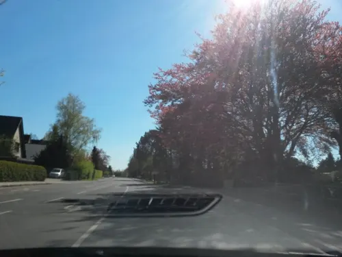
Brandener Hof
Farm and orchard · 2.2 km
198 Dockenhudener Chaussee
Mo-Fr 08:30-18:00; Sa 08:30-15:00; Su,PH off

Halstenbeker Hofladen
Farm and orchard · 1.9 km
6 Heideweg
Mo-Fr 10:00-17:00, Sa 10:00-16:00, Su 10:00-15:00
Rellinger Hofladen
Farm and orchard · 2.1 km
38 Pinneberger Straße, Rellingen
Mo-Fr 09:00-18:00; Sa 09:00-13:00

Museums and landmarks9

Deutsches Baumschulmuseum
Museum · 1.6 km
29 Halstenbeker Straße, Pinneberg
Tu 16:00-19:00; May-Oct: Su 14:00-18:00; "appointment"




Parks, trails and playgrounds20



Abenteuerspielplatz Eidelstedt-Nord
Playground · 3.4 km
Kinderfreizeitstätte, Bauspielplatz, Offene Kinder- und Jugendarbeit, OKJA
Halstenbeker Straße, Hamburg



8 more on the map.
Restaurants and cafes80

Montana
Restaurant · Burger, Fish, Salad, Steak House, Pasta · 2.1 km
Burger Steak und Fisch
188 Dockenhudener Chaussee
Mo off; Tu-Sa 17:00-22:00; Su 12:00-22:00
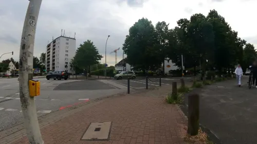
Baris Grill-Haus
Restaurant · Turkish, Kebab, Burger · 2.7 km
8 Lindenallee, Schenefeld
Mo off; Tu-Su 11:00-22:00
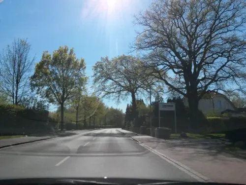
Bäckerei Schlüter
Cafe · Bakery With Café · 0.8 km
48 Dockenhudener Chaussee, Halstenbek
Mo-Fr 05:00-18:00; Sa 05:00-16:30; Su 07:30-16:30
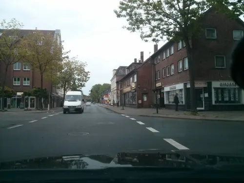
Coppers Bar & Kitchen
Restaurant · Burger, Steak House · 2.7 km
1 Friedrich-Ebert-Allee, Schenefeld
Mo-Th,Su 12:00-22:00; Fr-Sa 12:00-23:00
Dolce Vita
Restaurant · Italian, Pizza
3 Poststraße, Halstenbek
Mo-Fr 12:00-15:00,17:00-23:00; Sa 17:00-23:00; Su 12:00-22:00
Lust auf Sizilien
Restaurant · Italian · 3.5 km
12 Voßbarg, Pinneberg
Mo-Sa 17:00-22:00; Su 15:00-22:00
Marathon Grill
Restaurant · Greek · 1.2 km
55 Hallstraße, Rellingen
Mo off; Tu-Th 11:00-14:30,17:00-20:00; Fr-Sa 11:00-20:00; Su,PH 12:00-20:00
Okyaku
Restaurant · Sushi, Asian
12 Schulstraße, Halstenbek
Tu-Fr 12:00-15:00,17:00-22:00; Sa-Su,PH 14:00-22:00; Mo off
Restaurant Dubrovnik Pinneberg
Restaurant · Balkan · 3.3 km
7 An der Raa, Pinneberg
Tu-Th 16:00-22:00; Fr,Sa 16:00-23:00; PH,Su 12:00-21:00; Mo off


68 more on the map.
History
Occasional archaeological finds of flint blades, stone axes and stone core evidences early human presence in the Stone Ages. The earliest secure evidence of settlements has been excavated in the 1920s and 1930s, where cremation cemeteries from the Stone Age, Bronze Age and Iron Ages and some bog iron refining places of the 12th century has been found. The earliest record of Halstenbek dates to 15 May 1296 where a Hamburg citizen was mentioned having borrowed some 30 marks from a man named Hartwicus located in Halstenbeke. At that time Halstenbek has already been a small village. The next written record comes from a 1309 will of Marquard Potekouwe. The form of the name Halstenbeke appears repeatedly in later records. The village of Halstenbek was under the administration of the County of Holstein-Pinneberg which was annexed to Holstein-Glückstadt in 1640, ruled in personal union with the Kingdom of Denmark.
From the History section of Halstenbek on Wikipedia, under CC BY-SA 4.0.
Where to stay11
Liga für freie Lebensgestaltung e.V. (FKK-Gelände)
Campground · 3.2 km
3 Eidelstedter Weg, Schenefeld
Churches and places of worship11
Evangelisch-lutherische Kirchengemeinde Arche Noah
Church · Lutheran · 2.3 km
37 Haselweg, Halstenbek
Josua Gemeinde Schenefeld
Church · Baptist · 3.1 km
10 Achter de Weiden, Schenefeld
Shopping31
Gas and EV charging11
Schools, colleges and libraries25
Healthcare12
Map of Halstenbek
214 places. The map loads OpenStreetMap tiles when you open it.
Getting there and nearby towns
Hamburg Airport (HAM) is the nearest airport with scheduled flights listed in OpenStreetMap, 9 km away.
- Rellingen 2 km north, about 2 min by car
- Pinneberg 4 km northwest, about 4 min by car
- Wedel 11 km southwest, about 11 min by car
- Tornesch 11 km northwest, about 11 min by car
- Quickborn 12 km northeast, about 12 min by car
- Hamburg 14 km southeast, about 14 min by car
- Norderstedt 13 km northeast, about 13 min by car
- Uetersen 13 km northwest, about 13 min by car
- Jork 15 km southwest, about 15 min by car
- Neu Wulmstorf 19 km south, about 19 min by car
Drive times are estimates from straight-line distance, not routes.
Local news
Headlines from INDB.
Reviews, tips and questions
Loading what members have shared...
Sources and licences
- GeoNames (CC BY 4.0): population, coordinates, regions and time zone
- Mapillary (see each image): photos
- OpenStreetMap contributors (ODbL 1.0): places, airports, map data
- Wikidata (CC0 1.0): elevation, founding date, time zone, website, landmarks and historic places
- Wikimedia Commons (see each image): photos
- Wikipedia (CC BY-SA 4.0): overview and history text
Photo credits
- Rathaus Halstenbek, flamenc, CC BY-SA 3.0
- Schleswig-Holstein, Halstenbek, Naturdenkmal 09-08 NIK 3161, Nightflyer ( talk ) 19:37, 11 May 2015 (UTC), CC BY 3.0
- Schleswig-Holstein, Halstenbek, Naturdenkmal 09-02 NIK 3156, Nightflyer ( talk ) 20:08, 8 May 2015 (UTC), CC BY 3.0
- Schleswig-Holstein, Halstenbek, Naturdenkmal 09-02 NIK 3158, Nightflyer ( talk ) 20:11, 8 May 2015 (UTC), CC BY 3.0
- Schleswig-Holstein, Halstenbek, Naturdenkmal 09-08 NIK 3182, Nightflyer ( talk ) 19:41, 11 May 2015 (UTC), CC BY 3.0
- Schleswig-Holstein, Halstenbek, Naturdenkmal 09-08 NIK 3166, Nightflyer ( talk ) 19:39, 11 May 2015 (UTC), CC BY 3.0
- Schleswig-Holstein, Halstenbek, Naturdenkmal 09-05 NIK 3179, Nightflyer ( talk ) 19:18, 11 May 2015 (UTC), CC BY 3.0
- Schleswig-Holstein, Halstenbek, Naturdenkmal 09-06 NIK 3173, Nightflyer ( talk ) 20:03, 11 May 2015 (UTC), CC BY 3.0
- Bornpark (2) in HH-Osdorf, Pauli-Pirat, CC BY-SA 4.0
- MFG 0749-Schnaakenmoor, Malte, CC BY 3.0
- Baumschulmuseum, Caspar Voght, CC BY-SA 4.0
- Rellingen, PodracerHH 17:46, 21 August 2006 (UTC), CC BY-SA 3.0
- Nicolai Tuschkin - Pinneberger Chaussee 155 (Hamburg-Eidelstedt).Stolperstein.nnw, NordNordWest, CC BY-SA 3.0 de
- Rellinger Kirche, Turm, PodracerHH 17:48, 21 August 2006 (UTC), CC BY-SA 3.0
- Bismarckdenkmal Elisenhöhe, Unknown author Unknown author, Public domain
- EOSR IMG 0710 W, DrFliege, CC BY-SA 4.0
- Ballerbeek Iesenboohn.jgp, flamenc, CC BY-SA 3.0
- Ballerbeekdiek, flamenc, CC BY-SA 3.0
- Ballerbeek, flamenc, CC BY-SA 3.0
- Eisenbahnbrücke über die Düpenau in Thesdorf, Stadt Pinneberg, flamenc, CC BY-SA 3.0
- Düpenau in Thesdorf, Stadt Pinneberg, flamenc, CC BY-SA 3.0
- Schleswig-Holstein, Rellingen, Friedhof NIK 8341, Nightflyer, CC BY 4.0
- Schleswig-Holstein, Rellingen, Friedhof NIK 8343, Nightflyer, CC BY 4.0
- Schleswig-Holstein, Rellingen, Friedhof NIK 8340, Nightflyer, CC BY 4.0
- Street-level photo, mcschrader, CC BY-SA 4.0
- Street-level photo, mcschrader, CC BY-SA 4.0
- Street-level photo, mcschrader, CC BY-SA 4.0
- Street-level photo, rausk, CC BY-SA 4.0
- Street-level photo, kevinq, CC BY-SA 4.0
- Street-level photo, TKrz, CC BY-SA 4.0
- Street-level photo, kevinq, CC BY-SA 4.0
- Street-level photo, kevinq, CC BY-SA 4.0
- Street-level photo, kevinq, CC BY-SA 4.0
- Street-level photo, veloroute_hamburg, CC BY-SA 4.0
- Street-level photo, kevinq, CC BY-SA 4.0
- Street-level photo, katzenstreu, CC BY-SA 4.0
- Street-level photo, rausk, CC BY-SA 4.0
- Street-level photo, veloroute_hamburg, CC BY-SA 4.0
- Street-level photo, mcschrader, CC BY-SA 4.0
- Street-level photo, mcschrader, CC BY-SA 4.0
- Street-level photo, mcschrader, CC BY-SA 4.0
- Street-level photo, mcschrader, CC BY-SA 4.0
- Street-level photo, kevinq, CC BY-SA 4.0
- Street-level photo, kevinq, CC BY-SA 4.0
- Street-level photo, veloroute_hamburg, CC BY-SA 4.0
- Street-level photo, kevinq, CC BY-SA 4.0
- Street-level photo, kevinq, CC BY-SA 4.0


Page built November 8, 2026. Spotted a mistake? Tell us or suggest a place.