


Why visit Tornesch
Townapedia lists 36 museums and landmarks, 29 parks and trails, 75 places to eat, 3 places to stay and 3 attractions in and around town.
Highlights include Inga's Obstpark, Kustul Mursel türk. Obst u. Gemüse, Stadtgeschichtliches Heimatmuseum and Green Gables.
Weather in Tornesch
Forecast from MET Norway (CC BY 4.0). Full forecast
About Tornesch
Tornesch (German pronunciation: [ˈtɔʁnɛʃ] ; Low German: Torneesch) is a town in the district of Pinneberg, in Schleswig-Holstein, Germany. It is situated approximately 7 km (4 mi) southeast of Elmshorn, and 25 km (16 mi) northwest of Hamburg. Tornesch is also the home of the Klaus-Groth-Schule, named after the German poet Klaus Groth. It is also home to the Fritz-Reuter-Schule, named after German writer Fritz Reuter.
From the Wikipedia article Tornesch (this version), under CC BY-SA 4.0.
Things to do3

Inga's Obstpark
Farm and orchard · 2.1 km
Inga's Obstgarten (vormals Inga's Hofmolkerei) mit allen heimischen Obstsorten zum Selberpflücken.
33 Kanaldamm
Apr-Sep: Mo-Su,PH 00:00-00:00
Kustul Mursel türk. Obst u. Gemüse
Farm and orchard · 3.9 km
9 Großer Wulfhagen
Mo-Fr 08:00-19:00; Sa 08:00-14:00
Museums and landmarks36
Stadtgeschichtliches Heimatmuseum
Museum · 4.2 km
1c Parkstraße, Uetersen
Feb-Dec: Su[1], Su[3] 14:00-17:00 || "nach Vereinbarung"

Green Gables
Museum · 4.2 km
Galerie Hubertus und Gisela Lehner / Antiquariat
32 Sandberg, Heidgraben
"Wenn jemand da ist, ist geöffnet"

Uetersener Wasserturm
Monument and historic site · 2.6 km
Ehemaliger Wasserturm, Birkenallee in Uetersen
28 Birkenallee, Uetersen


Museumsscheune Langes Tannen
Museum · 2.9 km
Heidgrabener Straße, Uetersen
"verschieden"

Denkmal Ahrenlohe
Monument and historic site · 1.3 km
Obelisk mit Namen, Sterbedaten und Einheiten von Gefallenen der Schleswig-Holsteinischen Erhebung, des Deutsch-Französischen Krieges und...

24 more on the map.
Parks, trails and playgrounds29







17 more on the map.
Restaurants and cafes75

Birkenhain
Restaurant · German · 1.3 km
87 Heimstättenstraße, Tornesch
Tu-Sa 17:00-22:00; Su 11:00-21:00; Mo off
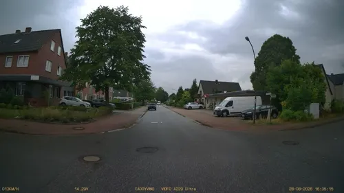

Hofcafé Almthof
Cafe · Cake, Ice Cream, Pizza, Sandwich · 4.0 km
37 Almtweg, Appen
Sa 13:00-18:00; Su 10:00-18:00
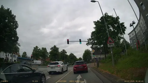
Kleiner Friedrich
Restaurant · Regional, German
2-4 Friedrichstraße, Tornesch
Mo-Fr 08:00-17:00; Sa-Su 11:00-17:00 || "nach Vereinbarung"
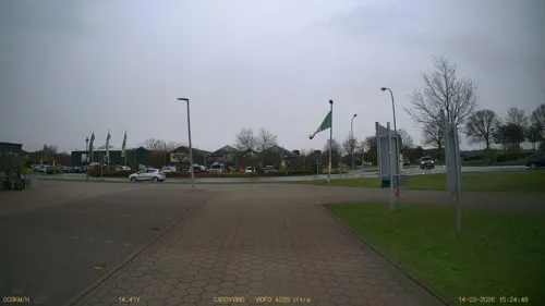
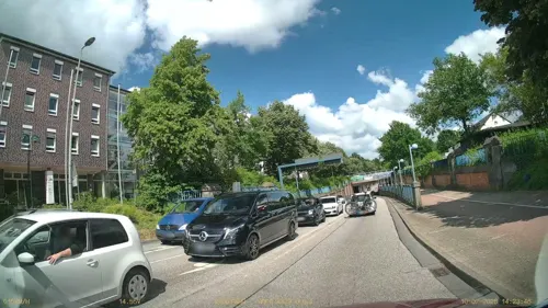
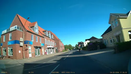

Bäckerei Veloso
Bakery · 0.8 km
76 Lindenweg, Tornesch
Mo-Fr 05:00-14:00; Sa 06:30-12:00; Su 07:00-12:00

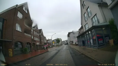
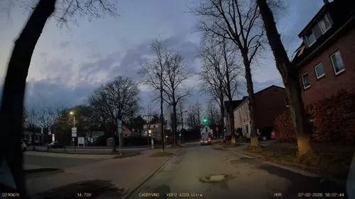


63 more on the map.
History
Tornesch has a place in biochemical history from the wood saccharification process developed by Scholler, also known at the Scholler-Tornesch process. The first factory to use the process was built in Tornesch. This early work was part of the development of biofuel such as cellulosic ethanol.
From the History section of Tornesch on Wikipedia, under CC BY-SA 4.0.
Where to stay3
Churches and places of worship11
Shopping25
Gas and EV charging15
Schools, colleges and libraries16
Healthcare10
easyApotheke Uetersen
Clinic and pharmacy · 3.5 km
14 - 16 Gerberstraße, Uetersen
Map of Tornesch
223 places. The map loads OpenStreetMap tiles when you open it.
Getting there and nearby towns
Hamburg Airport (HAM) is the nearest airport with scheduled flights listed in OpenStreetMap, 19 km away.
- Uetersen 4 km west, about 4 min by car
- Wedel 13 km south, about 13 min by car
- Hansestadt Stade 20 km southwest, about 20 min by car
- Jork 19 km south, about 19 min by car
- Drochtersen 22 km west, about 22 min by car
- Hamburg 25 km southeast, about 25 min by car
- Buxtehude 26 km south, about 26 min by car
- Neu Wulmstorf 26 km south, about 26 min by car
- Harsefeld 31 km southwest, about 31 min by car
- Seevetal 37 km southeast, about 37 min by car
Drive times are estimates from straight-line distance, not routes.
Local news
Headlines from INDB.
Reviews, tips and questions
Loading what members have shared...
Sources and licences
- GeoNames (CC BY 4.0): population, coordinates, regions and time zone
- Mapillary (see each image): photos
- OpenStreetMap contributors (ODbL 1.0): places, airports, map data
- Wikidata (CC0 1.0): elevation, founding date, time zone, website, landmarks and historic places
- Wikimedia Commons (see each image): photos
- Wikipedia (CC BY-SA 4.0): overview and history text
Photo credits
- Tornesch Friedrichstraße, Uwe Barghaan, CC BY-SA 3.0
- Spiegelfoyer Nordakademie, Daniel Purrucker, CC BY-SA 3.0
- Bleeker Park Blick, Huhu at German Wikipedia, Public domain
- Uetersen F.EbertSchule, Huhu Uet, CC BY-SA 3.0
- Uetersen Stadtwerkehaus, Uwe Barghaan, CC BY 2.5
- Tornesch Kirche, Uwe Barghaan, CC BY-SA 3.0
- Uetersen Christkönigskirche 2005, Huhu Uet, CC BY 3.0
- Klein Nordende ZG, Uwe Barghaan, CC BY 3.0
- Uetersen Wasserturm, Radler59 ( talk ), CC BY-SA 4.0
- Schleswig-Holstein, Tornesch, Naturdenkmal 12-01 NIK 2221, -- Nightflyer ( talk ) 19:44, 1 May 2015 (UTC), CC BY 3.0
- Liether Kalkgrube 140506 4, Big GI612, CC BY-SA 3.0
- Uetersen Mühlenstumpf, Uwe Barghaan, CC BY 2.5
- Uetersen Wasserwerk, Uwe Barghaan, CC BY 3.0
- Hügelgrab Appen 02, Huhu Uet, CC BY-SA 3.0
- Liekedeler - Bert Biehl – Rosenpavillon Rosarium Uetersen 02, Frank Schwichtenberg, CC BY-SA 3.0
- Street-level photo, DruideBizeps, CC BY-SA 4.0
- Street-level photo, DruideBizeps, CC BY-SA 4.0
- Street-level photo, DruideBizeps, CC BY-SA 4.0
- Street-level photo, DruideBizeps, CC BY-SA 4.0
- Street-level photo, robffm, CC BY-SA 4.0
- Street-level photo, DruideBizeps, CC BY-SA 4.0
- Street-level photo, DruideBizeps, CC BY-SA 4.0
- Street-level photo, DruideBizeps, CC BY-SA 4.0
- Street-level photo, robffm, CC BY-SA 4.0
- Street-level photo, DruideBizeps, CC BY-SA 4.0
- Street-level photo, DruideBizeps, CC BY-SA 4.0
- Street-level photo, DruideBizeps, CC BY-SA 4.0
- Street-level photo, DruideBizeps, CC BY-SA 4.0
- Street-level photo, DruideBizeps, CC BY-SA 4.0
- Street-level photo, DruideBizeps, CC BY-SA 4.0
- Street-level photo, DruideBizeps, CC BY-SA 4.0
- Street-level photo, DruideBizeps, CC BY-SA 4.0
- Street-level photo, veloroute_hamburg, CC BY-SA 4.0
- Street-level photo, DruideBizeps, CC BY-SA 4.0
- Street-level photo, zugnomade, CC BY-SA 4.0
- Street-level photo, DruideBizeps, CC BY-SA 4.0


Page built November 8, 2026. Spotted a mistake? Tell us or suggest a place.