


Why visit Heide
Townapedia lists 39 museums and landmarks, 9 parks and trails, 83 places to eat, 5 places to stay and 5 attractions in and around town.
Highlights include Heider Stadttheater, Kartoffeln Bremer, Brahmshaus and Klaus-Groth-Museum.
Weather in Heide
Forecast from MET Norway (CC BY 4.0). Full forecast
About Heide
Heide (German pronunciation: [ˈhaɪdə] ; Holsatian: Heid) is a town in Schleswig-Holstein, Germany. It is the capital of the Kreis (district) Dithmarschen. Population: 22,000.
From the Wikipedia article Heide (this version), under CC BY-SA 4.0.
Travel tips from other travellers: Heide on Wikivoyage (CC BY-SA 4.0).
Things to do5


Kartoffeln Bremer
Farm and orchard · 1.6 km
6 Bruno-Nielsen-Ring, Lohe-Rickelshof
Mo-Fr 08:00-12:00,14:00-18:00; Sa 09:00-12:30;PH off

Museums and landmarks39

Brahmshaus
Museum
Stammhaus der Familie des Komponisten Johannes Brahms * 1833 Hamburg +1897 Wien
34 Lüttenheid, Heide
Apr-Oct:Tu-Fr 11:30-15:30; We off; Sa 11:30-13:30

Klaus-Groth-Museum
Monument and historic site
Gehört zur Museumsinsel Lüttenheid
48 Lüttenheid, Heide
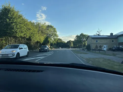

Dreetörn-Hus
Monument and historic site
Das älteste erhaltene Wohnhaus in Heide
2 Süderstraße, Heide


Großsteingrab Weddingstedt
Monument and historic site · 3.4 km
Hünengrab

Marktplatz
Monument and historic site
Größter unbebauter Marktplatz Deutschlands




27 more on the map.
Parks, trails and playgrounds9

Dithmarscher Wasserwelt
Sports field and stadium · 1.4 km
61 Landvogt-Johannsen-Straße, Heide
Tu,Th-Fr 06:30-21:00; We 15:00-21:00; Sa-Su 09:00-19:00; Jan...

Freibad Hemmingstedt
Sports field and stadium · 4.6 km
27 Neue Anlage, Hemmingstedt
Mo 09:30-17:15; Tu-Su 09:30-19:00



Restaurants and cafes83


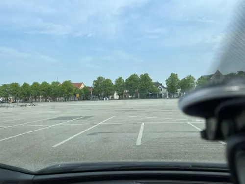
Rodizio Brasil
Restaurant · Brazilian · 0.8 km
34 Meldorfer Straße, Heide
Mo,We,Th,Su 11:30-14:00,17:30-22:00; Fr,Sa 11:30-14:00,17:30-22:30
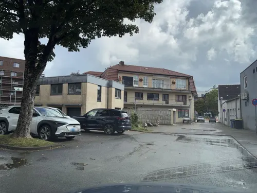

Balzers Bistro
Cafe · 1.2 km
80 Meldorfer Straße, Heide
Mo-Fr 06:00-18:00; Sa 06:00-13:00; Su 07:00-11:30

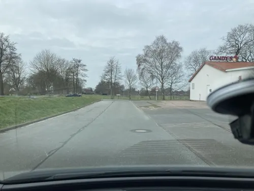


Gandy's
Bar and pub · 1.6 km
4 Am Ruthenstrom, Wesseln
Mo 18:00-24:00; Tu-Fr 00:00-01:00,18:00-24:00; Sa,Su...
71 more on the map.
Where to stay5
Churches and places of worship13
Königreichssaal von Jehovas Zeugen
Church · Jehovahs Witness · 1.0 km
6 Halligweg, Heide
Islamische Gemeinschaft Al Batul e.V.
Place of worship · Shia · 3.2 km
22 Rendsburger Straße, Heide
Kirche Jesu Christi der Heiligen der Letzten Tage
Church · Mormon · 0.9 km
26a Doktor-Lammers-Straße, Heide
Shopping27
Gas and EV charging9
Schools, colleges and libraries21
Healthcare6
Map of Heide
217 places. The map loads OpenStreetMap tiles when you open it.
Getting there and nearby towns
Flugplatz Heide-Büsum (HEI) is the nearest airport with scheduled flights listed in OpenStreetMap, 14 km away.
- Husum 32 km north, about 32 min by car
- Rendsburg 39 km east, about 39 min by car
- Itzehoe 41 km southeast, about 41 min by car
- Cuxhaven 45 km southwest, about 45 min by car
- Schleswig 47 km northeast, about 47 min by car
- Drochtersen 57 km south, about 57 min by car
- Neumünster 59 km east, about 59 min by car
- Uetersen 67 km southeast, about 1 h by car
- Kiel 69 km east, about 1 h 15 min by car
- Hansestadt Stade 71 km south, about 1 h 15 min by car
Drive times are estimates from straight-line distance, not routes.
Local news
Headlines from INDB.
Reviews, tips and questions
Loading what members have shared...
Sources and licences
- GeoNames (CC BY 4.0): population, coordinates, regions and time zone
- Mapillary (see each image): photos
- OpenStreetMap contributors (ODbL 1.0): places, airports, map data
- Wikidata (CC0 1.0): elevation, founding date, time zone, website
- Wikimedia Commons (see each image): photos
- Wikipedia (CC BY-SA 4.0): overview and history text
Photo credits
- Heide am markt, Dirk Ingo Franke, CC BY-SA 2.0 de
- Museumsinsel Lüttenheid - Klaus Groth Museum, Museumsinsel-Lüttenheid2004, CC BY-SA 4.0
- Wasserturm Heide, Jörg Braukmann, CC BY-SA 4.0
- StadionHeiderSV, Northside, CC BY-SA 3.0
- FES Heide, Friedrich-Elvers-Schule, CC BY-SA 4.0
- Heide Grundschule Lüttenheid, Leiflive, CC BY-SA 4.0
- St. Georg-Brunnen (Heide) jm20764, joergens.mi, CC BY-SA 3.0
- Süderstraße 2 Heide Denkmalschutz Fassade zur Straße, Freistern, CC BY-SA 4.0
- Weddingstedt Andreas-Kirche, Agnete, CC BY-SA 4.0
- Erlöserkirche Heide (Holstein), RaumplanungTV, CC BY 4.0
- Klaus Groth Museum, Heide, Gerd Fahrenhorst, CC BY-SA 3.0
- Heide (Schleswig Holstein) jm20851, joergens.mi, CC BY-SA 3.0
- Heide (Holstein) Altes Pastorat, Kai Sterrat, CC BY 3.0
- Schleswig-Holstein, Heide, Klaus-Groth-Denkmal NIK 9470, Nightflyer, CC BY-SA 4.0
- Heide (Schleswig Holstein) jm20749, joergens.mi, CC BY-SA 3.0
- St. Jürgen-Kirche (Heide) jm20733, joergens.mi, CC BY-SA 3.0
- Schulzentrum Heide-Ost Altbau Vorderseite Panorama, Kaffeeringe, CC BY-SA 4.0
- Großsteingrab Steenoben, Leiflive, CC BY-SA 4.0
- Heider Marktplatz im Januar 2026, RaumplanungTV, CC BY 4.0
- Heide (Holstein), das Brahmshaus, Dguendel, CC BY 3.0
- Museumsinsel Lüttenheid - Alte Schmiede, Museumsinsel-Lüttenheid2004, CC BY-SA 4.0
- Dithmarscher Wasserwelt 26.03.2016 17-50-52, Dirk Ingo Franke, CC BY-SA 4.0
- Street-level photo, robffm, CC BY-SA 4.0
- Street-level photo, robffm, CC BY-SA 4.0
- Street-level photo, robffm, CC BY-SA 4.0
- Street-level photo, robffm, CC BY-SA 4.0
- Street-level photo, robffm, CC BY-SA 4.0
- Street-level photo, robffm, CC BY-SA 4.0
- Street-level photo, robffm, CC BY-SA 4.0
- Street-level photo, robffm, CC BY-SA 4.0
- Street-level photo, robffm, CC BY-SA 4.0
- Street-level photo, robffm, CC BY-SA 4.0
- Street-level photo, robffm, CC BY-SA 4.0
- Street-level photo, robffm, CC BY-SA 4.0
- Street-level photo, robffm, CC BY-SA 4.0
- Street-level photo, robffm, CC BY-SA 4.0
- Street-level photo, robffm, CC BY-SA 4.0
- Street-level photo, robffm, CC BY-SA 4.0
- Street-level photo, robffm, CC BY-SA 4.0
- Street-level photo, robffm, CC BY-SA 4.0
- Street-level photo, robffm, CC BY-SA 4.0
- Street-level photo, robffm, CC BY-SA 4.0
- Street-level photo, robffm, CC BY-SA 4.0


Page built November 8, 2026. Spotted a mistake? Tell us or suggest a place.