


Why visit Rendsburg
Townapedia lists 44 museums and landmarks, 28 parks and trails, 127 places to eat, 18 places to stay and 7 attractions in and around town.
Highlights include Eroticworld, Schauburg Filmtheater, NordArt and Anna.
Weather in Rendsburg
Forecast from MET Norway (CC BY 4.0). Full forecast
About Rendsburg
Rendsburg (German pronunciation: [ˈʁɛntsbʊʁk] ; Danish: Rendsborg, also Rensborg, Low German: Rendsborg, also Rensborg) is a town on the River Eider and the Kiel Canal in the central part of Schleswig-Holstein, Germany. It is the capital of the Kreis (district) of Rendsburg-Eckernförde. As of 2006, it had a population of 28,476
From the Wikipedia article Rendsburg (this version), under CC BY-SA 4.0.
Travel tips from other travellers: Rendsburg on Wikivoyage (CC BY-SA 4.0).
Things to do7

Eroticworld
Cinema and theater · 0.7 km
1C Friedrich-Voß-Straße, Rendsburg
Mo-Th 10:00-22:00; Fr, Sa 10:00-24:00; Su, PH 12:00-22:00
Schauburg Filmtheater
Cinema and theater
8 Schleifmühlenstraße, Rendsburg
Mo-Fr 10:00-21:00; Sa-Su 11:00-21:00



Der Schülldorfer Hofladen
Farm and orchard · 3.7 km
2 Dorfstraße, Schülldorf
Tu-Fr 08:00-12:00,14:00-18:00, Sa 08:00-13:00

Museums and landmarks44


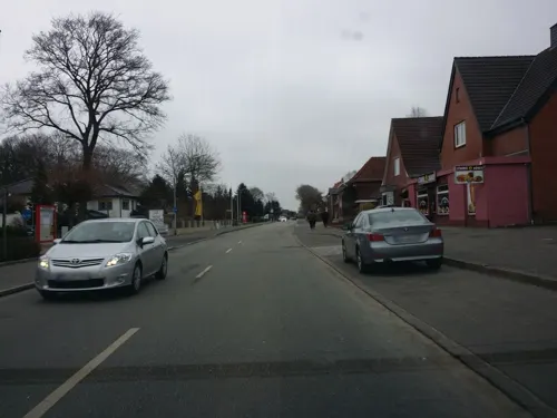


Galerie Müllers
Museum · 0.6 km
4 An der Marienkirche, Rendsburg
Tu-Fr 10:00-13:00,15:00-18:00; Sa,Su 10:00-14:00; Mo off


32 more on the map.
Parks, trails and playgrounds28




16 more on the map.
Restaurants and cafes127

Carls Hütte
Restaurant · International · 1.2 km
2 Am Ahlmannkai, Büdelsdorf
Tu-Th 11:30-15:30, 17:00-21:00; Fr-Sa 11:30-15:30, 17:00-22:00
Alte Markthalle
Restaurant · Regional
15 Altstädter Markt, Rendsburg
Mo-Fr 12:00+; Sa 10:00+; Su 16:00+


Eisstübchen
Cafe · Ice Cream, Coffee Shop, Coffee · 1.0 km
Ein Eiskaffee mit blick auf den Nord-Ostsee-Kanal. Eis und Kuchen werden hier noch selbst vorort gemacht.
2A Am Kreishafen, Rendsburg
Feb-Oct: Tu-Su 11:00-19:00
Farina di Nonna
Restaurant · Italian
10 Materialhofstraße, Rendsburg
Mo-Fr 11:30-22:00; Sa, Su 12:30-22:00
Hofcafé Osteria da Nannarella
Restaurant · Italian · 2.0 km
68 Neue Dorfstraße, Büdelsdorf
Mo-We 08:30-17:00; Th,Fr 08:30-21:00; Sa 08:30-13:00,17:30-21:00
My Steakhouse
Restaurant · Steak House · 2.5 km
5 Memelstraße, Büdelsdorf
Mo, We-Fr 11:30-14:30, 17:00-22:00; Sa-Su 17:00-22:00
115 more on the map.
History
Rendsburg's foundation date is unknown though some form of fortifications was established by Bjørn Svendsen 1099–1100. Rendsburg was first mentioned in 1199. An old form of its name was Reinoldesburch.
It became a part of Holstein in the 13th century, but was transferred to Schleswig in 1460. Many times the town passed from Danish to German control and vice versa. In the German-Danish War in 1864 Rendsburg was finally seized by the Kingdom of Prussia and the Austrian Empire, and after 1866, the town was annexed by Prussia. Since that time it has remained part of Germany.
Although the Eider is navigable for small craft from its mouth on the North Sea to Rendsburg, the town's importance rose in 1895, when the Kiel Canal was finished. The much larger ships that could navigate the Kiel Canal meant that, although situated inland, Rendsburg became a seaport and a dockyard.
From the History section of Rendsburg on Wikipedia, under CC BY-SA 4.0.
Where to stay18
Jugendherberge Nobiskrug
Motel and hotel · 1.9 km
24 Steglitzer Straße, Rendsburg
Churches and places of worship17
Die Christengemeinschaft
Church · Christian Community · 0.6 km
9-11 Timm-Kröger-Straße, Rendsburg
Evangelische Kirche Osterrönfeld
Church · Protestant · 2.0 km
36 Dorfstraße, Osterrönfeld
Freie Christengemeinde Rendsburg
Church · Pentecostal
1a Materialhofstraße, Rendsburg
Kirche Jesu Christi der Heiligen der Letzten Tage
Church · Mormon · 3.4 km
22 Büsumer Straße, Rendsburg
Shopping56
Gas and EV charging20
Schools, colleges and libraries34
Healthcare18
Map of Rendsburg
250 places. The map loads OpenStreetMap tiles when you open it.
Getting there and nearby towns
Schleswig Air Base (WBG) is the nearest airport with scheduled flights listed in OpenStreetMap, 20 km away.
- Schleswig 25 km north, about 25 min by car
- Kiel 30 km east, about 30 min by car
- Uetersen 68 km south, about 1 h 15 min by car
- Tornesch 67 km south, about 1 h by car
- Drochtersen 68 km south, about 1 h 15 min by car
- Cuxhaven 80 km southwest, about 1 h 15 min by car
- Hansestadt Stade 80 km south, about 1 h 15 min by car
- Wedel 80 km south, about 1 h 15 min by car
- Lübeck 82 km southeast, about 1 h 15 min by car
- Hamburg 86 km south, about 1 h 30 min by car
Drive times are estimates from straight-line distance, not routes.
Local news
Headlines from INDB.
Reviews, tips and questions
Loading what members have shared...
Sources and licences
- GeoNames (CC BY 4.0): population, coordinates, regions and time zone
- Mapillary (see each image): photos
- OpenStreetMap contributors (ODbL 1.0): places, airports, map data
- Wikidata (CC0 1.0): elevation, founding date, time zone, website, landmarks and historic places
- Wikimedia Commons (see each image): photos
- Wikipedia (CC BY-SA 4.0): overview and history text
Photo credits
- Bahnhof Rendsburg mit Blick auf die Eisenbahn Hochbrücke über den Nord - Ostsee Kanal - panoramio, www.fleno.de, CC BY-SA 3.0
- Bahnhofsschild Rendsburg 180830, Clic, CC BY-SA 4.0
- Rendsburg station 2011 1, Smiley.toerist, CC BY-SA 4.0
- Rendsburg station 2011 2, Smiley.toerist, CC BY-SA 4.0
- Motorradparkparken Rendsburg Konrad-Adenauer-Straße EKZ, Gmbo 2013, CC0
- Bahnhof Rendsburg, Empfangsgebäude, Christian Alexander Tietgen, CC BY 4.0
- Gemeinschaft in der Evangelischen Kirche Rendsburg, Christian Alexander Tietgen, CC BY 4.0
- Fahrt von der Rendsburger Hochbrücke zum Bahnhof Rendsburg 08, Christian Alexander Tietgen, CC BY 4.0
- Rendsburg Bahnhof ZOB 01, Christian Alexander Tietgen, CC BY 4.0
- St. Florian (Rendsburg), Gerd Fahrenhorst, CC BY 4.0
- Herrenstraße 20, Rendsburg, Gerd Fahrenhorst, CC BY 4.0
- Holstenstraße 5, Rendsburg, Gerd Fahrenhorst, CC BY 4.0
- Bahnhof Museum Rendsburg - panoramio, www.fleno.de, CC BY-SA 3.0
- Figur über dem Portal der Tagespost in Rendsburg, Gerd Fahrenhorst, CC BY 4.0
- Holstenstraße 6, Rendsburg, Gerd Fahrenhorst, CC BY 4.0
- Rendsburg Bahnhof ZOB 02, Christian Alexander Tietgen, CC BY 4.0
- Holstenstraße, Rendsburg, Christian Alexander Tietgen, CC BY 4.0
- Rendsburg Bahnhofstraße ZOB, Christian Alexander Tietgen, CC BY 4.0
- Skulptur von Inga Aru in der Kieler Straße, Rendsburg, Gerd Fahrenhorst, CC BY 4.0
- Neuwerk, Rendsburg (P1100066-Pano), Matti Blume, CC BY-SA 4.0
- Neuwerk, Rendsburg (P1100064), Matti Blume, CC BY-SA 4.0
- Neuwerk, Rendsburg (P1100065), Matti Blume, CC BY-SA 4.0
- Neuwerk, Rendsburg (P1100063), Matti Blume, CC BY-SA 4.0
- Rendsburg Bahnhof ZOB 03, Christian Alexander Tietgen, CC BY 4.0
- Neuwerk, Rendsburg (P1100072-Pano), Matti Blume, CC BY-SA 4.0
- Geese, Rendsburg (P1100107), Matti Blume, CC BY-SA 4.0
- Jüdisches Museum Rendsburg msu2017-0242, User:Matthias Süßen, CC BY-SA 4.0
- Pelli-Hof, Rendsburg (P1100060), Matti Blume, CC BY-SA 4.0
- Stolpersteinlage Rendsburg Provianthausstraße 5, Gmbo 2013, CC0
- Materialhofstraße 1a, Rendsburg, Gerd Fahrenhorst, CC BY 4.0
- Rendsburger Hochbrücke-msu-0766-, Matthias Süßen, CC BY-SA 4.0
- Schwebefähre Rendsburg NIK 2821, Nightflyer, CC BY 3.0
- Rathaus-Giebel Rendsburg2009, VollwertBIT, CC BY-SA 3.0
- Ein schöner Bau, die Moschee in Rendsburg - panoramio, www.fleno.de, CC BY-SA 3.0
- Christkirche (Rendsburg)-msu-2023-0I9A-2632-, Matthias Süßen, CC BY-SA 4.0
- Das Eisenkunstgussmuseum in Büdelsdorf, Juni 2016, Ulrike Ernemann, CC BY-SA 4.0
- Jüdisches Museum RD, Wusel007, CC BY-SA 3.0
- Kreiskrankenhaus RD, Wusel007, CC BY-SA 3.0
- Bild 013 Rendsburg Marien, Agnete, CC BY-SA 3.0
- RD Nordmarkhalle2, Wusel007, CC BY-SA 3.0
- RD Königstr 5 Schifffahrtsarchiv, Wusel007, CC BY-SA 4.0
- Rendsburg - Herrenstraße - St. Martin 01 ies, Frank Vincentz, CC BY-SA 3.0
- Rendsburg - Hans-Heinrich-Beisenkötter-Platz - Stadttheater 02 ies, Frank Vincentz, CC BY-SA 3.0
- ConventGarten, Eingang Ostseite, Gerd Fahrenhorst, CC BY 4.0
- Stormstraße 1, Rendsburg, Gerd Fahrenhorst, CC BY 4.0
- St. Jürgen-Kirche Rendsburg, Jürgen Oetting, CC BY-SA 4.0
- Kronwerk-Gymnasium, Rendsburg (P1100608), Matti Blume, CC BY-SA 4.0
- Schule Altstadt, Rendsburg (P1100369), Matti Blume, CC BY-SA 4.0
- Rendsburg - Herrenstraße 01 ies, Frank Vincentz, CC BY-SA 3.0
- Waldorfschule, Rendsburg (P1100395), Matti Blume, CC BY-SA 4.0
- Windmühle Anna in Nübbel, VentiAmica, CC BY-SA 3.0
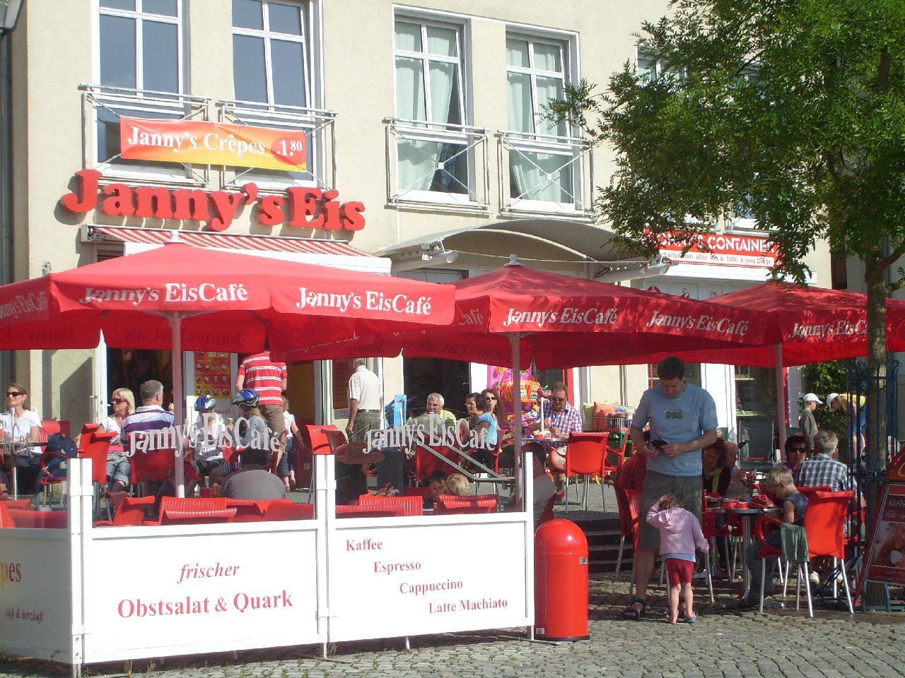
- Janny's Eis in Waren (Müritz), Thomas Kohler, CC BY-SA 2.0
- Ships Welcome Point Rendsburg Nord-Ostsee-Kanal-20200729, Hajotthu, CC BY-SA 3.0
- PlantAge – NordArt 2026 – Christian A. Lang, Langphoto.art, CC BY-SA 4.0
- Obereider-Yachtservice, Udine, CC BY-SA 3.0
- Street-level photo, rainerup, CC BY-SA 4.0
- Street-level photo, kerosin, CC BY-SA 4.0
- Street-level photo, rainerup, CC BY-SA 4.0
- Street-level photo, robffm, CC BY-SA 4.0
- Street-level photo, wusel007, CC BY-SA 4.0
- Street-level photo, robffm, CC BY-SA 4.0
- Street-level photo, OPloen, CC BY-SA 4.0
- Street-level photo, kerosin, CC BY-SA 4.0
- Street-level photo, hotteliene, CC BY-SA 4.0
- Street-level photo, hotteliene, CC BY-SA 4.0
- Street-level photo, hotteliene, CC BY-SA 4.0
- Street-level photo, robffm, CC BY-SA 4.0
- Street-level photo, thetornado76, CC BY-SA 4.0
- Street-level photo, kerosin, CC BY-SA 4.0
- Street-level photo, wusel007, CC BY-SA 4.0
- Street-level photo, hoeckie1975, CC BY-SA 4.0
- Street-level photo, wusel007, CC BY-SA 4.0
- Street-level photo, peterleth, CC BY-SA 4.0
- Street-level photo, kerosin, CC BY-SA 4.0
- Street-level photo, OPloen, CC BY-SA 4.0
- Street-level photo, kerosin, CC BY-SA 4.0
- Street-level photo, robffm, CC BY-SA 4.0


Page built November 8, 2026. Spotted a mistake? Tell us or suggest a place.