


Why visit Drochtersen
Townapedia lists 32 museums and landmarks, 21 parks and trails, 62 places to eat, 28 places to stay and 13 attractions in and around town.
Highlights include HanseGarnelen Hofladen, Hofladen Hof Bohlmann, Museumsstellwerk Glückstadt and Kehdinger Küstenschiffahrtsmuseum.
Weather in Drochtersen
Forecast from MET Norway (CC BY 4.0). Full forecast
About Drochtersen
Drochtersen (German pronunciation: [ˈdʁɔxtɐzn̩]) is a municipality in the district of Stade, in Lower Saxony (Germany). It is located 45 km Northwest of Hamburg.
From the Wikipedia article Drochtersen (this version), under CC BY-SA 4.0.
Things to do13

HanseGarnelen Hofladen
Farm and orchard · 8.1 km
6 Herrenweide, Glückstadt
Th 10:00-14:00; Fr 08:00-12:00
Hofladen Hof Bohlmann
Farm and orchard · 8.0 km
60 Groß Sterneberger Straße, Hammah
Tu-Sa 08:00-12:00, 14:00-18:00
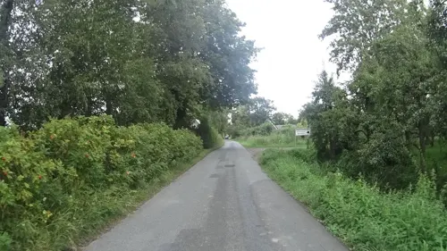
Hofmosterei Rönndeich
Farm and orchard · 9.0 km
18 Rönndeich, Drochtersen
Mo-Sa 08:00-12:30,14:00-18:00

German Ferry Road
Monument and historic site · 9.5 km
Scenic route in Northern Germany
Hofgenuss Meinert
Farm and orchard · 7.7 km
1 Kleine Kirchreihe, Kollmar
09:00-12:30,15:00-18:00; We,Su,PH off



Kollmar, Rear Lt
Lighthouse · 6.8 km
Rot-weißer Turm (40 m); Richtfeuerlinie 345,3°
Pagensand, Rear Lt
Lighthouse · 9.0 km
Rot-weißer Turm (32 m); Richtfeuerlinie 135°

1 more on the map.
Museums and landmarks32

Museumsstellwerk Glückstadt
Museum · 9.1 km
25 Christian-IV-Straße, Glückstadt
May-Oct: Su[1] 14:00-17:00 || "nach Vereinbarung"

Kehdinger Küstenschiffahrtsmuseum
Museum · 8.3 km
7 Unterm Deich, Wischhafen
Tu-Su 10:00-12:00, 13:00-18:00

Wasserturm
Monument and historic site · 9.2 km
Ehemaliger Wasserturm Bohnstr. 1 in Glückstadt
1 Bohnstraße, Glückstadt


Wiebke-Kruse-Turm
Monument and historic site · 8.7 km
40 Am Hafen, Glückstadt




20 more on the map.
Parks, trails and playgrounds21


Schilf- und Wasserfläche Krautsand / Ostende
Hiking and trails · 3.5 km


WSDE - Wassersportverein Drochtersen Elbe
Marina and boat launch · 2.6 km

9 more on the map.
Restaurants and cafes62
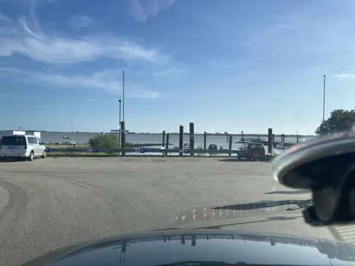
Café Sünnschien
Cafe · Tea, Cake, Coffee Shop, Ice Cream · 7.1 km
2 Schulstraße, Kollmar
Tu-Sa 14:00-18:00; Su 09:30-18:00

Das Möller's
Restaurant · Regional · 0.6 km
14 Am Sportplatz, Drochtersen
Mo-Sa 11:00-14:00; We-Sa 17:00-21:00; Su 11:00-21:00
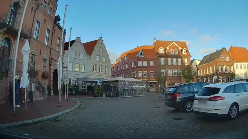
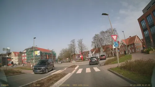
Nettchen Bistro & Café
Restaurant · Regional · 8.9 km
1A Am Hafen, Glückstadt
Tu-Fr 11:00-22:00; Mo off; Sa,Su 10:00-22:00

Gasthaus Heiko Sieb
Restaurant · 6.8 km
3 Ostener Straße, Wischhafen
Mo 17:00-20:00; Tu-Th 17:00-23:00; Fr-Su 11:00-14:00, 17:00-23:00



50 more on the map.
Where to stay28
Churches and places of worship11
Shopping14
Gas and EV charging9
Schools, colleges and libraries4
Healthcare7
Map of Drochtersen
201 places. The map loads OpenStreetMap tiles when you open it.
Getting there and nearby towns
Hungriger Wolf (IZE) is the nearest airport with scheduled flights listed in OpenStreetMap, 34 km away.
- Hansestadt Stade 14 km southeast, about 14 min by car
- Jork 28 km southeast, about 28 min by car
- Harsefeld 30 km south, about 30 min by car
- Neu Wulmstorf 38 km southeast, about 38 min by car
- Hamburg 44 km southeast, about 44 min by car
- Zeven 47 km south, about 47 min by car
- Seevetal 52 km southeast, about 52 min by car
- Schiffdorf 52 km west, about 52 min by car
- Tostedt 53 km southeast, about 53 min by car
- Bremerhaven 56 km west, about 56 min by car
Drive times are estimates from straight-line distance, not routes.
Local news
Headlines from INDB.
Reviews, tips and questions
Loading what members have shared...
Sources and licences
- GeoNames (CC BY 4.0): population, coordinates, regions and time zone
- Mapillary (see each image): photos
- OpenStreetMap contributors (ODbL 1.0): places, airports, map data
- Wikidata (CC0 1.0): elevation, founding date, time zone, website, landmarks and historic places
- Wikimedia Commons (see each image): photos
- Wikipedia (CC BY-SA 4.0): overview and history text
Photo credits
- Luftaufnahmen Nordseekueste 2012-05-by-RaBoe-468, © Ra Boe / Wikipedia, CC BY-SA 3.0 de
- Volksbank Kehdingen Drochtersen, PKautz, CC BY-SA 3.0
- Kirche Drochtersen, ClausNe, CC BY-SA 4.0
- Ritsch (Drochtersen) -Klinkerwerk Rusch- 2015 by-RaBoe 095, © Ra Boe / Wikipedia, CC BY-SA 3.0 de
- Deutsche Faehrstrasse, Wusel007, CC BY-SA 3.0
- Himmelpforten church, Morn the Gorn, CC BY-SA 3.0
- Grauerort View from Entrance, Morn the Gorn, CC BY-SA 3.0
- Pagensand 3, Uwe Barghaan, CC BY 2.5
- Hammah - Hoevelgraf2, flamenc, CC BY-SA 3.0
- Luftaufnahme -Schwarztonnensand - Drochtersen- 2012-05-by-RaBoe-467, © Ra Boe / Wikipedia, CC BY-SA 3.0 de
- Wiebeke-Kruse-Turm, PodracerHH, CC BY-SA 3.0
- Palais Quasi non Possidentes, PodracerHH, CC BY-SA 3.0
- Glückstadt Stadtkirche 2, Christian der Vierte, CC BY-SA 4.0
- Kirche Bützfleth, ClausNe, CC BY-SA 4.0
- 2014 05 14 Hafen Wischhafen IMG 7252 S P, Dr. Karl-Heinz Hochhaus, CC BY 3.0
- Kirche in Großenwörden, Klauswitt, CC BY-SA 4.0
- Unterfeuer Krautsand (5065272824), Torsten Behrens from Tarbek - Segeberg - Schleswig-Holstein., Deutschland, CC BY 2.0
- Naturschutzgebiet Kehdinger Moore, Smarties, CC BY-SA 4.0
- Kollmar Kirche, Uwe Barghaan, CC BY 3.0
- Radarturm Steindeich DSC02216, -- Nightflyer ( talk ) 20:39, 31 May 2013 (UTC), CC BY 3.0
- Glückstadt, das Hotel Brückenhaus, Dguendel, CC BY 3.0
- Museums Stellwerk - panoramio, hh oldman, CC BY 3.0
- Balje 2013 by-RaBoe 059, © Ra Boe / Wikipedia, CC BY-SA 3.0 de
- Glückstadt, das Detlefsen-Museum, Dguendel, CC BY 3.0
- Naturschutzgebiet Die Scheidung, Smarties, CC BY-SA 4.0
- Naturschutzgebiet Kehdinger Moore II, Smarties, CC BY-SA 4.0
- St. Johannis und Catharinen-Kirche in Drochtersen, Christian der Vierte, CC BY-SA 4.0
- Krautsand Unterfeuer, Radler59 ( talk ), CC BY-SA 4.0
- Krautsand Oberfeuer, Radler59 ( talk ), CC BY-SA 4.0
- Glueckstadt Ehem Wasserturm-03, Radler59 ( talk ), CC BY-SA 4.0
- Stolperstein Lea Laura Selcke - Schlachterstraße 6 - Glückstadt, NordNordWest, CC BY-SA 3.0 de
- Nonnengänse im Naturschutzgebiet Asselersand, Lämpel, CC BY-SA 3.0 de
- Pagensand1997-Panorama, Olaf Studt - Hämbörger, Public domain
- Elbfähre Glückstadt–Wischhafen NIK 3107, Nightflyer, CC BY 3.0
- Krautsand-Ostende, R2Dine ( Diskussion ), CC BY-SA 4.0
- Brockdorffpalais Glückstadt, PodracerHH, CC BY-SA 3.0
- Stadtkirche Glückstadt, Turm, PodracerHH, CC BY-SA 3.0
- Dorfkirche-Kollmar-2024-msu--7817, Matthias Süßen, CC BY-SA 4.0
- Gauensieker Schleusenfleth (Ruthenstrom), Smarties, CC BY-SA 4.0
- Wischhafener Süderelbe (Elbe), Smarties, CC BY-SA 4.0
- Street-level photo, robffm, CC BY-SA 4.0
- Street-level photo, DruideBizeps, CC BY-SA 4.0
- Street-level photo, hendel, CC BY-SA 4.0
- Street-level photo, hendel, CC BY-SA 4.0
- Street-level photo, nesshof, CC BY-SA 4.0
- Street-level photo, hendel, CC BY-SA 4.0
- Street-level photo, nesshof, CC BY-SA 4.0
- Street-level photo, ramap, CC BY-SA 4.0
- Street-level photo, hendel, CC BY-SA 4.0
- Street-level photo, nesshof, CC BY-SA 4.0
- Street-level photo, DruideBizeps, CC BY-SA 4.0
- Street-level photo, hendel, CC BY-SA 4.0
- Street-level photo, nesshof, CC BY-SA 4.0
- Street-level photo, changchun1, CC BY-SA 4.0
- Street-level photo, changchun1, CC BY-SA 4.0


Page built November 8, 2026. Spotted a mistake? Tell us or suggest a place.