


Why visit Hilpoltstein
Townapedia lists 7 museums and landmarks, 19 parks and trails, 30 places to eat, 7 places to stay and 2 attractions in and around town.
Highlights include Steinkreuz, Zum Schwarzen Roß, LBV Umweltstation and Stadtbad.
Weather in Hilpoltstein
Forecast from MET Norway (CC BY 4.0). Full forecast
About Hilpoltstein
Hilpoltstein station is a railway station in the municipality of Hilpoltstein, located in the Roth district in Middle Franconia, Germany.
From the Wikipedia article Hilpoltstein station (this version), under CC BY-SA 4.0.
Things to do2


Museums and landmarks7



Kriegerdenkmal
Monument and historic site
Für die Gefallenen der Stadt in den beiden Weltkriegen
Ländliche Entwicklung in Dorf und Flur Verfahren Hilpoltstein
Monument and historic site · 2.1 km
Parks, trails and playgrounds19



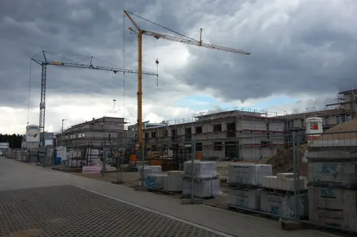
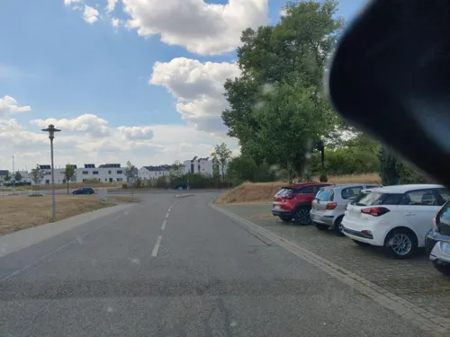
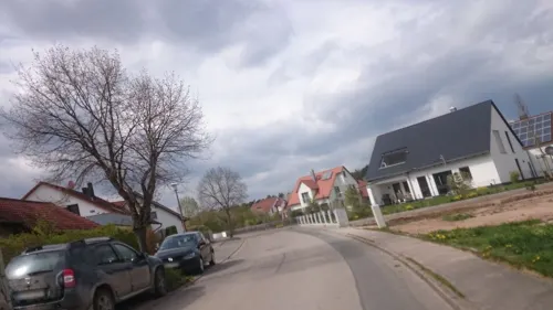
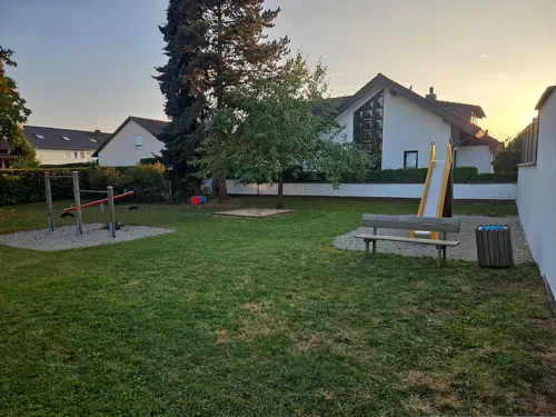
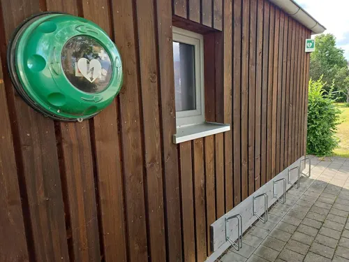
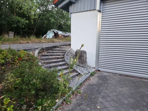
7 more on the map.
Restaurants and cafes30


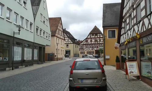
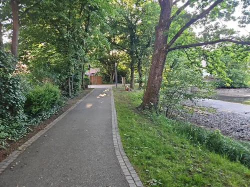
Fürstenhof by Sheppards
Restaurant · Regional
1 Johann-Friedrich-Straße, Hilpoltstein
Mo off; Tu-Fr 11:00-14:30, 17:00-22:00; Sa 17:00-22:00; Su 17:00-21:00
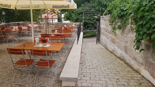
Il Gusto
Restaurant · Italian
1 Zwingerstraße, Hilpoltstein
Mo, Tu, Th-Sa 17:00-22:00; Su 11:30-14:30, 17:30-22:00
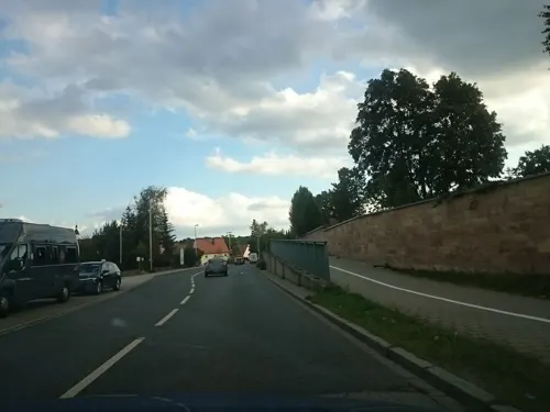
Cafe & Bäckerei Schmidt
Cafe
16 Allersberger Straße, Hilpoltstein
Mo-Th 06:00-22:00; Fr, Sa 06:00-23:00; Su 07:00-22:00
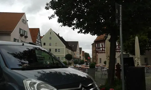
Café Grimm
Cafe
4 Christoph-Sturm-Straße, Hilpoltstein
Mo, Tu off; We-Fr, Su 09:00-18:00; Sa 09:00-17:00
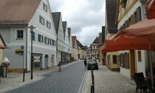
Evita Pizzeria & Restaurant
Restaurant · Pizza, Italian, Greek
Italienisches Restaurant, noch nicht eröffnet (jedoch mit Speisekarte im Aushang)
1 Christoph-Sturm-Straße, Hilpoltstein
Tu-Su 11:00-14:30, 17:00-22:00; Mo off
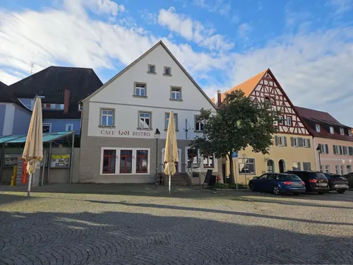


Gutmann zur Post
Restaurant
8 Marktstraße, Hilpoltstein
Mo,Tu,We,Fr,Sa 11:00-14:00,17:00-22:00; Su,PH 11:00-21:00 "nur bei...

18 more on the map.
Where to stay7
Churches and places of worship11
Katholische Filialkirche Mariä Verkündigung
Church · Roman Catholic · 2.3 km
1 Am Mühlbach, Hilpoltstein
Shopping13
Gas and EV charging5
Schools, colleges and libraries8
Healthcare3
Map of Hilpoltstein
105 places. The map loads OpenStreetMap tiles when you open it.
Getting there and nearby towns
Albrecht Dürer Airport Nuremberg (NUE) is the nearest airport with scheduled flights listed in OpenStreetMap, 35 km away.
- Roth 10 km northwest, about 10 min by car
- Wendelstein 18 km north, about 18 min by car
- Schwabach 20 km northwest, about 20 min by car
- Feucht 21 km north, about 21 min by car
- Neumarkt in der Oberpfalz 22 km northeast, about 22 min by car
- Weißenburg in Bayern 24 km southwest, about 24 min by car
- Nuremberg 30 km north, about 30 min by car
- Oberasbach 31 km northwest, about 31 min by car
- Zirndorf 33 km northwest, about 33 min by car
- Fürth 35 km northwest, about 35 min by car
Drive times are estimates from straight-line distance, not routes.
Local news
Headlines from INDB.
Reviews, tips and questions
Loading what members have shared...
Sources and licences
- GeoNames (CC BY 4.0): population, coordinates, regions and time zone
- Mapillary (see each image): photos
- OpenStreetMap contributors (ODbL 1.0): places, airports, map data
- Wikidata (CC0 1.0): elevation, founding date, time zone, website
- Wikimedia Commons (see each image): photos
- Wikipedia (CC BY-SA 4.0): overview and history text
Photo credits
- Hilpoltstein train station overview 2007, bigbug21, CC BY-SA 2.5
- Zwingerstraße 6 (Hilpoltstein) 045, Kd6=dra, CC0
- Zwingerstraße 6 (Hilpoltstein) 005, Kd6=dra, CC0
- Hilpoltstein, the pond "Stadtweiher", Dguendel, CC BY 3.0
- Hilpoltstein, the house Jahrsdorf, Dguendel, CC BY 3.0
- Zwingerstraße 7 (Hilpoltstein), Kd6=dra, CC0
- Hilpoltstein residence church, Doris Antony , Berlin, CC BY-SA 4.0
- Hilpoltstein, the former ducal residency, main building, Dguendel, CC BY 3.0
- Hilpoltstein, the town hall, Dguendel, CC BY 3.0
- Hilpoltstein HIP 003, DALIBRI, CC BY-SA 4.0
- Hilpoltstein HIP 013, DALIBRI, CC BY-SA 4.0
- Hilpoltstein HIP 001, DALIBRI, CC BY-SA 4.0
- Hilpoltstein, the inn "Schwarzes Roß", Dguendel, CC BY 3.0
- Hilpoltstein HIP 004, DALIBRI, CC BY-SA 4.0
- Hilpoltstein HIP 103, DALIBRI, CC BY-SA 4.0
- Hilpoltstein HIP 002, DALIBRI, CC BY-SA 4.0
- Hilpoltstein HIP 005, DALIBRI, CC BY-SA 4.0
- Hilpoltstein, Christuskirche (05), Subbass1, CC BY-SA 4.0
- Hilpoltstein, Christuskirche (03), Subbass1, CC BY-SA 4.0
- Hilpoltstein, Christuskirche (04), Subbass1, CC BY-SA 4.0
- Hilpoltstein, Christuskirche (02), Subbass1, CC BY-SA 4.0
- Hilpoltstein, Christuskirche (01), Subbass1, CC BY-SA 4.0
- Hilpoltstein HIP 015, DALIBRI, CC BY-SA 4.0
- Hilpoltstein, Christuskirche (07) (cropped), Subbass1, CC BY-SA 4.0
- Hilpoltstein, Christuskirche (07), Subbass1, CC BY-SA 4.0
- Hilpoltstein, Christuskirche (06), Subbass1, CC BY-SA 4.0
- Hilpoltstein, Christuskirche (09), Subbass1, CC BY-SA 4.0
- Hilpoltstein, Christuskirche (09) (cropped), Subbass1, CC BY-SA 4.0
- Hilpoltstein, Christuskirche (08) (cropped), Subbass1, CC BY-SA 4.0
- Hilpoltstein, Christuskirche (08), Subbass1, CC BY-SA 4.0
- Hilpoltstein, Christuskirche (12), Subbass1, CC BY-SA 4.0
- Hilpoltstein, Christuskirche (10), Subbass1, CC BY-SA 4.0
- Hilpoltstein, Christuskirche (11), Subbass1, CC BY-SA 4.0
- Hilpoltstein HIP 014, DALIBRI, CC BY-SA 4.0
- Hilpoltstein, Christuskirche (14), Subbass1, CC BY-SA 4.0
- Hilpoltstein, Christuskirche (13), Subbass1, CC BY-SA 4.0
- Hilpoltstein HIP 086, DALIBRI, CC BY-SA 4.0
- Hilpoltstein, Christuskirche (15), Subbass1, CC BY-SA 4.0
- Hilpoltstein HIP 006, DALIBRI, CC BY-SA 4.0
- Hilpoltstein HIP 007, DALIBRI, CC BY-SA 4.0
- Hilpoltstein-Kirchturm-Blick-1, Felix Erbe, CC BY-SA 3.0
- Hilpoltstein, the church John the Baptist, Dguendel, CC BY 3.0
- Ortskapelle (Altenhofen), Kd6=dra, CC0
- Hl. Dreifaltigkeit (Hilpoltstein), Kd6=dra, CC0
- Hofstetten HIP (2), Rensi, CC0
- Marquardsholz HIP (5), Rensi, CC0
- Solar HIP (1), Rensi, CC0
- Museum Brauereigasthof zum Schwarzen Ross, Aarp65, CC BY-SA 3.0
- Hilpoltstein, Christuskirche (17), Subbass1, CC BY-SA 4.0
- Steinkreuz D-5-76-127-123 03, Derzno, CC BY 3.0
- Zwingerstraße 8 (Hilpoltstein), Kd6=dra, CC0
- Ochsenwirtskapelle (Hilpoltstein), Kd6=dra, CC0
- Schleuse Eckersmühlen, Michael Mertens from Darmstadt, Germany, CC BY-SA 2.0
- Street-level photo, bigbug21, CC BY-SA 4.0
- Street-level photo, bigbug21, CC BY-SA 4.0
- Street-level photo, bernd_niemann, CC BY-SA 4.0
- Street-level photo, bigbug21, CC BY-SA 4.0
- Street-level photo, bigbug21, CC BY-SA 4.0
- Street-level photo, bernd_niemann, CC BY-SA 4.0
- Street-level photo, bernd_niemann, CC BY-SA 4.0
- Street-level photo, bernd_niemann, CC BY-SA 4.0
- Street-level photo, msdess, CC BY-SA 4.0
- Street-level photo, kopra, CC BY-SA 4.0
- Street-level photo, kopra, CC BY-SA 4.0
- Street-level photo, bernd_niemann, CC BY-SA 4.0
- Street-level photo, kopra, CC BY-SA 4.0
- Street-level photo, kopra, CC BY-SA 4.0
- Street-level photo, bigbug21, CC BY-SA 4.0
- Street-level photo, msdess, CC BY-SA 4.0
- Street-level photo, bernd_niemann, CC BY-SA 4.0
- Street-level photo, bernd_niemann, CC BY-SA 4.0
- Street-level photo, kopra, CC BY-SA 4.0
- Street-level photo, kopra, CC BY-SA 4.0
- Street-level photo, kopra, CC BY-SA 4.0
- Street-level photo, msdess, CC BY-SA 4.0
- Street-level photo, bernd_niemann, CC BY-SA 4.0
- Street-level photo, msdess, CC BY-SA 4.0
- Street-level photo, bernd_niemann, CC BY-SA 4.0
- Street-level photo, kopra, CC BY-SA 4.0
- Street-level photo, kopra, CC BY-SA 4.0
- Street-level photo, msdess, CC BY-SA 4.0
- Street-level photo, msdess, CC BY-SA 4.0
- Street-level photo, kopra, CC BY-SA 4.0
- Street-level photo, bigbug21, CC BY-SA 4.0
- Street-level photo, bigbug21, CC BY-SA 4.0
- Street-level photo, kopra, CC BY-SA 4.0
- Street-level photo, msdess, CC BY-SA 4.0
- Street-level photo, bigbug21, CC BY-SA 4.0
- Street-level photo, bigbug21, CC BY-SA 4.0


Page built November 8, 2026. Spotted a mistake? Tell us or suggest a place.