


Höchstadt an der Aisch, Germany
Höchstadt an der Aisch is a town of 13,867 people in Bavaria, Germany.
Why visit Höchstadt an der Aisch
Townapedia lists 33 museums and landmarks, 19 parks and trails, 87 places to eat, 7 places to stay and 14 attractions in and around town.
Highlights include Eierlädla, FIRMA FÜHRER, Spix-Museum and Heimatmuseum.
Weather in Höchstadt an der Aisch
Forecast from MET Norway (CC BY 4.0). Full forecast
About Höchstadt an der Aisch
Höchstadt an der Aisch (German pronunciation: [ˈhøːçʃtat ʔan deːɐ̯ ˈʔaɪʃ], lit. 'Höchstadt on the Aisch'), commonly known as Höchstadt ([ˈhøːçʃtat] ), is a town in the Erlangen-Höchstadt district, in Bavaria, Germany.
From the Wikipedia article Höchstadt (this version), under CC BY-SA 4.0.
Things to do14
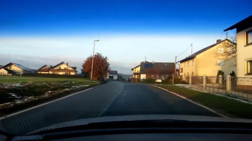
Eierlädla
Farm and orchard · 4.1 km
Eier (Freilandhaltung), Kartoffeln und Brennholz vom Hof Nudeln, Honig und andere regionale Produkte von Anbietern in der Nähe
1 Bösenbechhofen, Höchstadt a.d.Aisch
24/7

FIRMA FÜHRER
Farm and orchard · 6.4 km
Spargel weiß und grün, Kartoffeln
6 Uttstadt, Adelsdorf
Mo-Sa 09:00-18:00; Su 09:00-13:00


2 more on the map.
Museums and landmarks33


Schloss Weißenstein
Monument and historic site · 6.3 km
Castle in Pommersfelden, Bavaria; cultural heritage monument D-4-71-172-31 (0)
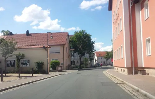

Hidden Gallery
Museum · 5.4 km
Eine bemalte Waldhütte, in der verschiedene gerahmte Bilder vorzufinden sind, sowie verschiedene Wandmalereien. Auffallend sticht das...
24/7



Fatima-Grotte
Monument and historic site · Roman Catholic · 5.3 km
Errichtet von Theo Galster im Zeitraum 2019-2020 eingeweiht am 13.09.2020
Altes Kommunbrauhaus
Museum · 0.7 km
7 Obere Brauhausgasse, Höchstadt an der Aisch
21 more on the map.
Parks, trails and playgrounds19



Spielplatz Hintere Dorfstraße
Playground · 5.5 km
Die Benutzung des Platzes ist nur in der Zeit von 8:00 Uhr bis 20:00 Uhr gestattet. Benutzung auf eigene Gefahr.
Mo-Su 08:00-20:00
Spielplatz Höhenstraße
Playground · 5.5 km
Die Benutzung des Platzes ist nur in der Zeit von 8:00 Uhr bis 20:00 Uhr gestattet. Benutzung auf eigene Gefahr.
Mo-Su 08:00-20:00



7 more on the map.
Restaurants and cafes87

Brauerei & Gasthof Rittmayer
Restaurant · Regional · 5.7 km
Dunkelgrüne Blüte am Adelsdorfer Kellerweg
5 Aischer Hauptstraße, Adelsdorf
Th-Su 09:00-14:30, Sa 17:00-23:00
Aischblick
Restaurant · Regional, Fish · 0.9 km
88a Große Bauerngasse, Höchstadt an der Aisch
Mo,We,Th,Fr 11:00-14:00,17:30-22:00, Sa 11:00-22:00, Su 11:00-21:00
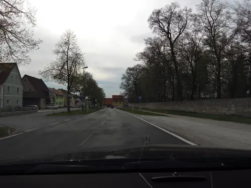
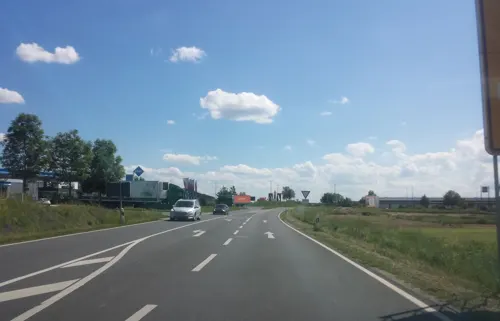
Der Beck
Cafe · German, Coffee Shop, Pastry, Ice Cream · 4.9 km
10a Hochstraße, Adelsdorf
Mo-Fr 05:30-18:00; Sa 05:30-17:00; Su 07:00-17:00
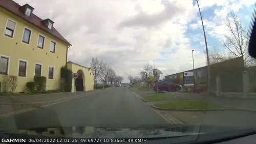
Landgasthof Scheubel
Restaurant · International, Regional · 1.9 km
1 Hauptstraße, Gremsdorf
Mo-Sa 07:00-22:30
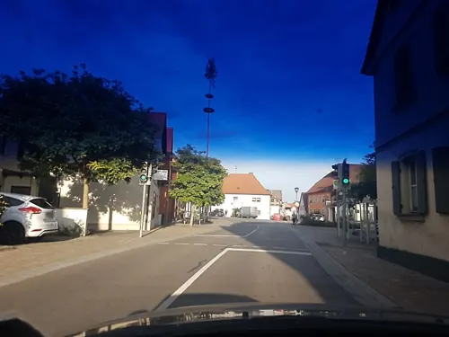
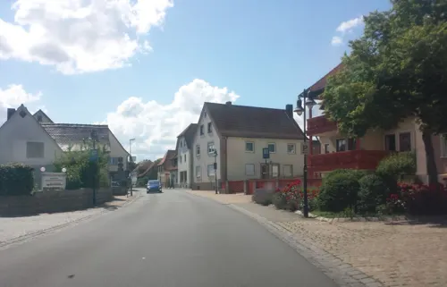
Ristorante Pizzeria Milano
Restaurant · Italian · 5.8 km
1A Obere Bachgasse, Adelsdorf
Tu-Sa 16:00-22:00; Su 12:00-22:00; Mo off
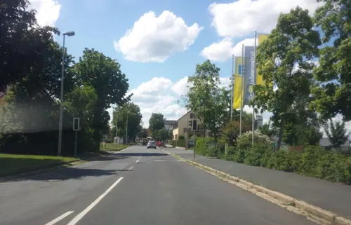
Sportgaststätte SC Adelsdorf
Restaurant · Greek, Regional · 6.4 km
1 Am Sportplatz, Adelsdorf
We-Su 17:00-24:00
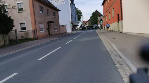
hostaria da enzo
Restaurant · Italian, Pizza · 0.7 km
8 Schillerplatz, Höchstadt an der Aisch
Tu-Su 11:00-14:30, 17:00-22:30
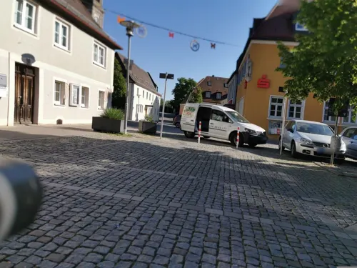


Der Beck
Cafe · German, Coffee Shop, Pastry · 0.7 km
3 Marktplatz, Höchstadt an der Aisch
Mo-Su,PH 05:30-17:00
75 more on the map.
Where to stay7
Churches and places of worship25
St. Maria und Johannes
Church · Lutheran · 6.8 km
1 Mühlweg, Pommersfelden
St. Laurentius
Church · Roman Catholic · 2.6 km
20, Höchstadt an der Aisch
Shopping24
Gas and EV charging17
Ladestation Kaufland Höchstadt
EV charging · 1.1 km
19 Rothenburger Straße, Höchstadt an der Aisch
Schools, colleges and libraries15
Healthcare8
Map of Höchstadt an der Aisch
249 places. The map loads OpenStreetMap tiles when you open it.
Getting there and nearby towns
Verkehrslandeplatz Burg Feuerstein (URD) is the nearest airport with scheduled flights listed in OpenStreetMap, 25 km away.
- Erlangen 19 km southeast, about 19 min by car
- Neustadt an der Aisch 20 km southwest, about 20 min by car
- Langenzenn 24 km south, about 24 min by car
- Fürth 29 km southeast, about 29 min by car
- Zirndorf 31 km south, about 31 min by car
- Nuremberg 34 km southeast, about 34 min by car
- Oberasbach 33 km south, about 33 min by car
- Roßtal 35 km south, about 35 min by car
- Lauf an der Pegnitz 40 km southeast, about 40 min by car
- Röthenbach an der Pegnitz 40 km southeast, about 40 min by car
Drive times are estimates from straight-line distance, not routes.
Local news
Headlines from INDB.
Reviews, tips and questions
Loading what members have shared...
Sources and licences
- GeoNames (CC BY 4.0): population, coordinates, regions and time zone
- Mapillary (see each image): photos
- OpenStreetMap contributors (ODbL 1.0): places, airports, map data
- Wikidata (CC0 1.0): elevation, founding date, time zone, website
- Wikimedia Commons (see each image): photos
- Wikipedia (CC BY-SA 4.0): overview and history text
Photo credits
- Höchstadt an der Aisch BW 2011-07-27 17-35-47, Berthold Werner, CC BY-SA 3.0
- Höchstadt an der Aisch BW 2011-07-27 19-13-44 stitch, Berthold Werner, CC BY-SA 3.0
- Marter in Höchstadt an der Aisch 17RM5819, Ermell, CC BY-SA 4.0
- Höchstadt an der Aisch Kirche-20180501-RM-173250, Ermell, CC BY-SA 4.0
- Höchstadt an der Aisch Kirche Taufstein-20180501-RM-172813, Ermell, CC BY-SA 4.0
- Höchstadt an der Aisch Kirche Altar-20180501-RM-172639, Ermell, CC BY-SA 4.0
- Höchstadt an der Aisch Kirche Altar-20180501-RM-172512, Ermell, CC BY-SA 4.0
- Höchstadt an der Aisch Kirche Kanzel-20180501-RM-172334, Ermell, CC BY-SA 4.0
- Höchstadt an der Aisch Kirche Orgel-20180501-RM-172210 (cropped), Ermell, CC BY-SA 4.0
- Höchstadt an der Aisch Kirche Orgel-20180501-RM-172210, Ermell, CC BY-SA 4.0
- Höchstadt an der Aisch Kirche Orgel-20180501-RM-172120 (cropped), Ermell, CC BY-SA 4.0
- Höchstadt an der Aisch Kirche Orgel-20180501-RM-172120 (cropped 2), Ermell, CC BY-SA 4.0
- Höchstadt an der Aisch Kirche Orgel-20180501-RM-172120, Ermell, CC BY-SA 4.0
- Höchstadt an der Aisch Kirche Altar-20180501-RM-172034, Ermell, CC BY-SA 4.0
- Höchstadt an der Aisch Kirche-20180501-RM-173442, Ermell, CC BY-SA 4.0
- Höchstadt an der Aisch Kirche Altar-20180501-RM-173456, Ermell, CC BY-SA 4.0
- Höchstadt an der Aisch BW 2011-07-27 17-33-57, Berthold Werner, CC BY-SA 3.0
- Höchstadt an der Aisch BW 2011-07-27 19-44-42, Berthold Werner, CC BY-SA 3.0
- Höchstadt an der Aisch BW 2011-07-27 19-44-17, Berthold Werner, CC BY-SA 3.0
- Höchstadt an der Aisch BW 2011-07-27 19-44-31, Berthold Werner, CC BY-SA 3.0
- Höchstadt an der Aisch - Obere Brauhausgasse - 01, Howwi, CC BY-SA 3.0
- Höchstadt an der Aisch BW 2011-07-27 18-39-04, Berthold Werner, CC BY-SA 3.0
- Aerial image of the Schloss Weißenstein, Carsten Steger, CC BY-SA 4.0
- Gymnasium Höchstadt Haupteingang Nordbau, Allegutennamen, CC BY-SA 4.0
- Adelsdorfer Schloß 2013, Schweißthal, CC BY-SA 3.0
- Neuhaus Kirche 4150328, Ermell, CC BY-SA 4.0
- D-5-72-160-27 001, Hamann M, CC BY-SA 3.0 de
- Lonnerstadt, St. Oswald, 004, Tilman2007, CC BY-SA 3.0
- Nackendorf, St. Laurentius (01), Subbass1, CC BY-SA 4.0
- Sterpersdorf Kirche 8255503, Ermell, CC BY-SA 4.0
- Mohrhof Weihergebiet 17RM0278, Ermell, CC BY-SA 4.0
- Höchstadt an der Aisch BW 2011-07-27 17-46-37, Berthold Werner, CC BY-SA 3.0
- Spix-Museum (1), Stefan Karl, CC BY-SA 4.0
- Krausenbechhofen NSG 17RM0827, Ermell, CC BY-SA 4.0
- Rehe im NSG Feuchtwiesen Ziegenanger bei Neuhaus P5RM1345-PSD, Ermell, CC BY-SA 4.0
- Naturschutzgebiet Mohrhof 3, Hochgeistungssportler, CC BY-SA 4.0
- Im Westen gibt es weitere Teiche, Johannes Marabini, CC BY-SA 4.0
- Evang.-Luth. Pfarrkirche D-5-72-143-4 Mühlhausen 20221229 0113, Tilman2007, CC BY-SA 4.0
- Kirche Aisch, Schweißthal, CC BY-SA 4.0
- Pommersfelden, Evang.-Luth. Pfarrkirche, 001, Tilman2007, CC BY-SA 3.0
- Limbach Kirche Peter und Paul 4010679, Ermell, CC BY-SA 4.0
- Spital Kirche St. Anna von 1513 Höchstadt, Enpi48, CC BY 3.0
- Street-level photo, danfuh, CC BY-SA 4.0
- Street-level photo, curtisnewton, CC BY-SA 4.0
- Street-level photo, heetENkoel, CC BY-SA 4.0
- Street-level photo, r66, CC BY-SA 4.0
- Street-level photo, wegavision, CC BY-SA 4.0
- Street-level photo, wegavision, CC BY-SA 4.0
- Street-level photo, r66, CC BY-SA 4.0
- Street-level photo, wegavision, CC BY-SA 4.0
- Street-level photo, czmrtn, CC BY-SA 4.0
- Street-level photo, danfuh, CC BY-SA 4.0
- Street-level photo, danfuh, CC BY-SA 4.0
- Street-level photo, heetENkoel, CC BY-SA 4.0
- Street-level photo, heetENkoel, CC BY-SA 4.0
- Street-level photo, wegavision, CC BY-SA 4.0
- Street-level photo, su1dakra, CC BY-SA 4.0
- Street-level photo, danfuh, CC BY-SA 4.0
- Street-level photo, bravewaffle, CC BY-SA 4.0
- Street-level photo, danfuh, CC BY-SA 4.0
- Street-level photo, danfuh, CC BY-SA 4.0
- Street-level photo, curtisnewton, CC BY-SA 4.0
- Street-level photo, wegavision, CC BY-SA 4.0
- Street-level photo, wegavision, CC BY-SA 4.0
- Street-level photo, r66, CC BY-SA 4.0


Page built November 8, 2026. Spotted a mistake? Tell us or suggest a place.